Be sure to check out Bob's trip report of our failed attempt here.
|
|
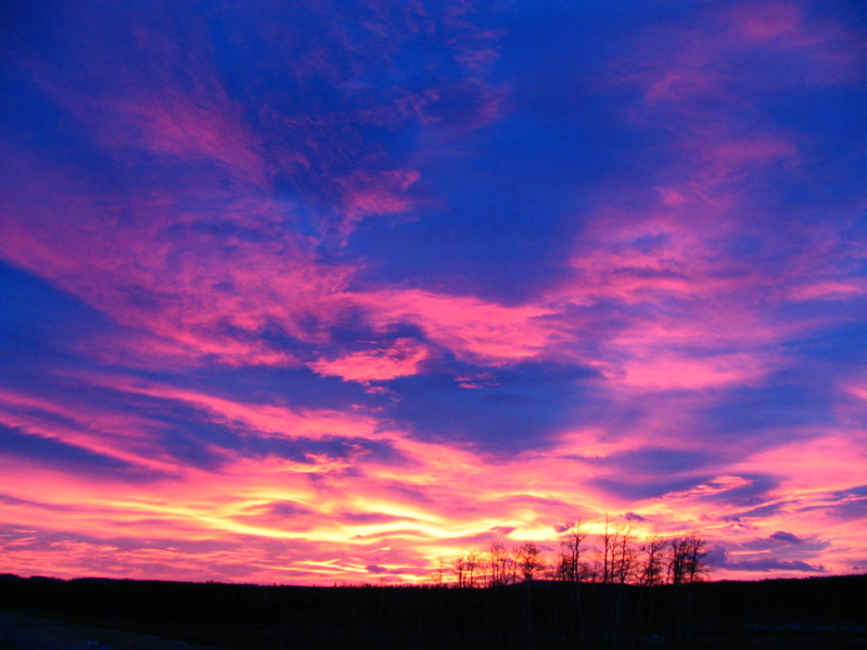
The morning sky is strikingly colourful. |
|
|
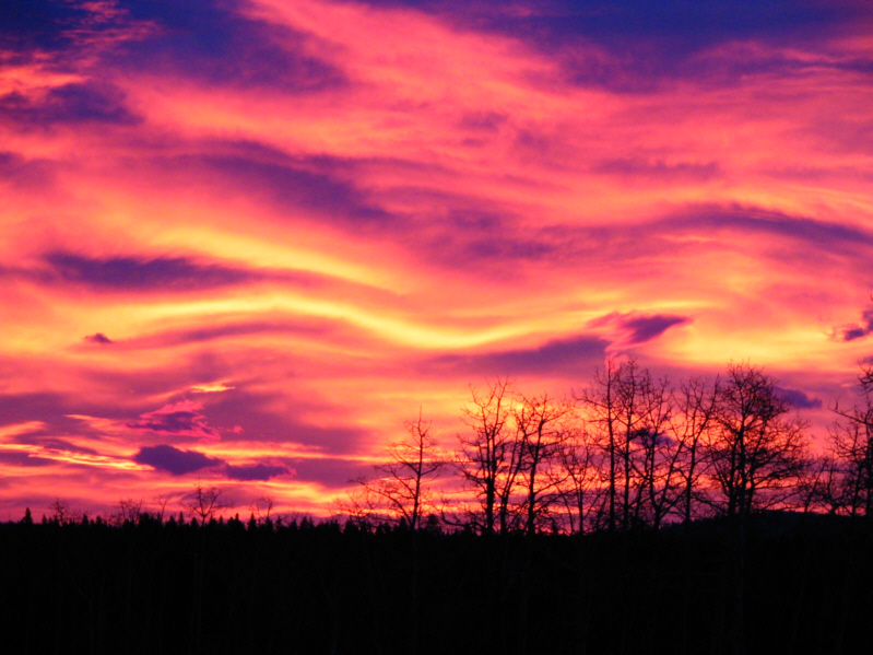
The sky appears to be on fire! |
|
|
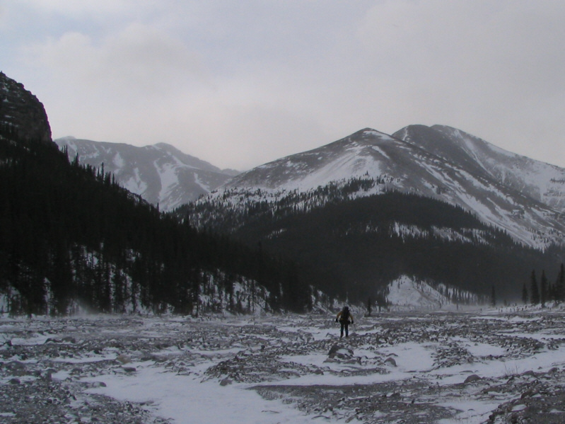
Bob hikes into the teeth of the wind blowing through Upper Canyon Creek. The start of Mount Howard's north ridge is straight ahead. |
The crux of the trip was tearing myself away from the television after watching Adam Scott's improbable collapse at the Open Championship (golf). With the beautiful weather that day, it was not surprising that the roads in K-Country were heavily congested. Popular picnic sites like Allen Bill Pond and Elbow Falls were absolute zoos--so much for the "wilderness experience"! Nevertheless, once I started hiking along Upper Canyon Creek, I did not see another soul for the rest of the day. The 5-kilometre approach before the actual climbing begins felt just as painfully long as before, but at least I was not fighting gale-force winds this time. I took to Nugara's access ridge and bypassed all the minor high points en route to the summit of Mount Howard. This entailed much side-hill bashing which did not agree well with my weak ankles, but thankfully, some beaten paths in the scree helped alleviate some of the constant stumbling. The fun scrambling on the final summit block was sadly short-lived, and I was also a tad disappointed that the summit views were marred by some late day cloud cover. I could not even record my displeasure in the summit register since it was either missing or very well-hidden. I spent less than half an hour on the summit before commencing my descent. After partly retracing my steps, I dropped down into the drainage that Bob and I had previously hiked and followed it back to Upper Canyon Creek. From there, my hike back to my car was even more painfully long but otherwise uneventful.
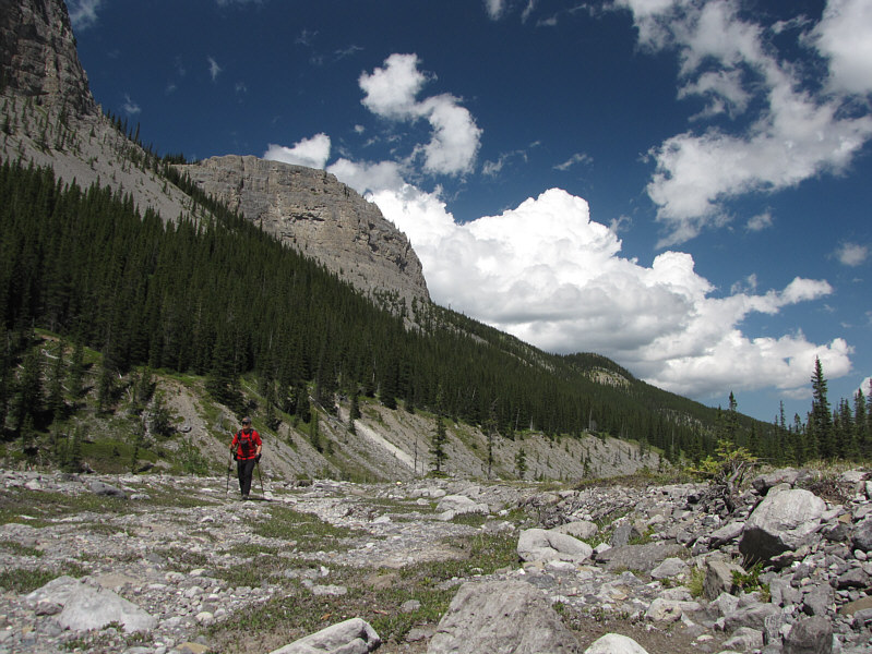 |
Sonny hikes along Upper Canyon Creek with much more pleasant weather. |
 |
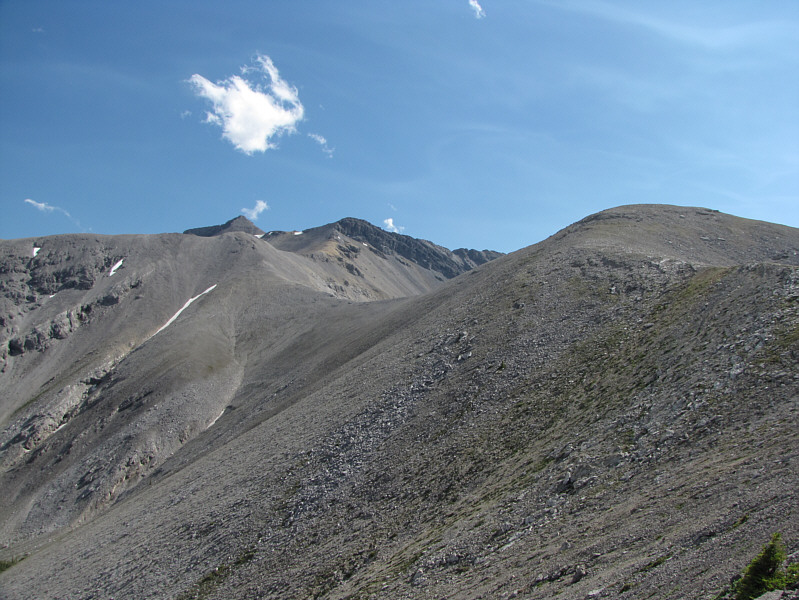
The north ridge of Mount Howard comes into view. |
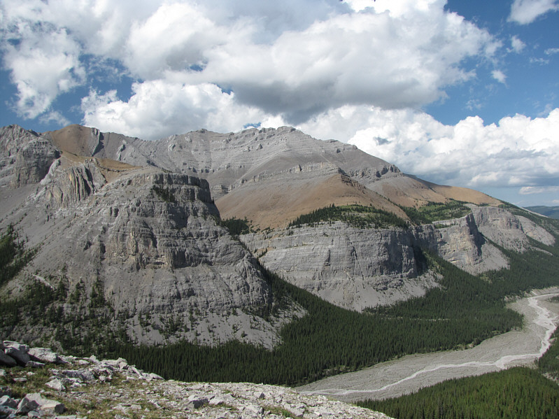 |
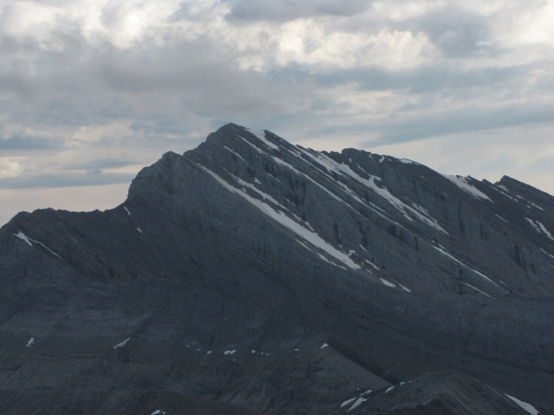
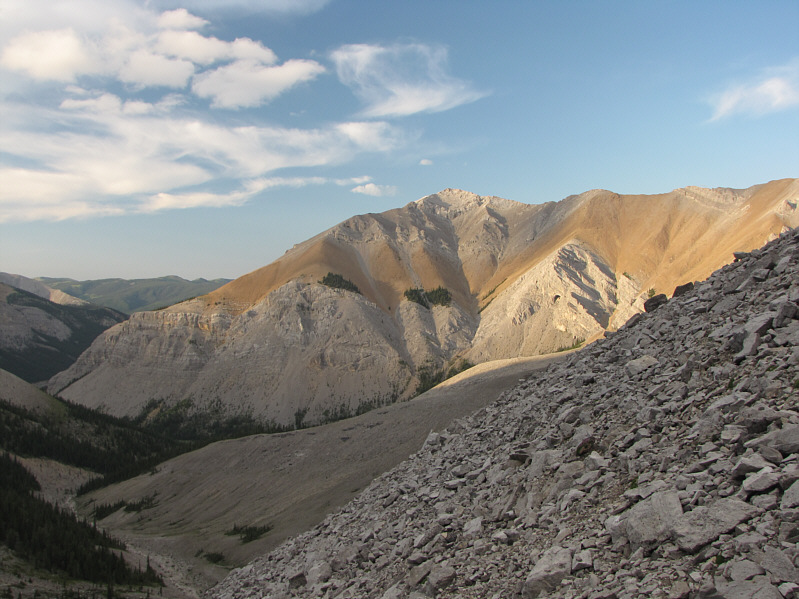
Some impressive cliffs guard the south side of Mount Bryant. |
 |
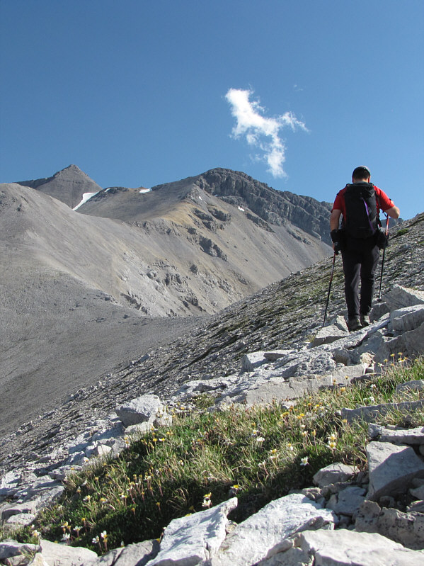
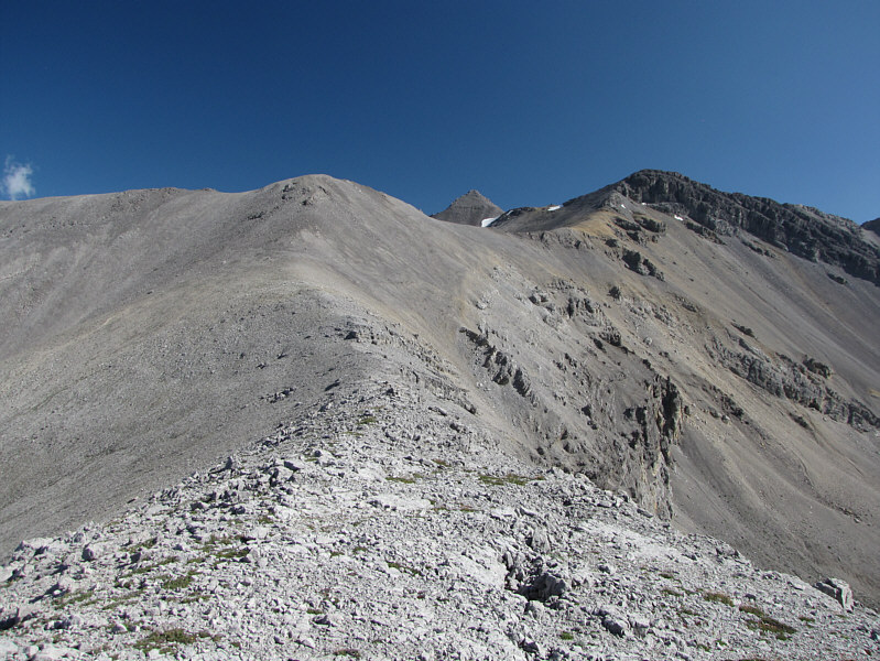
The summit of Mount Howard appears on the horizon. |
 |
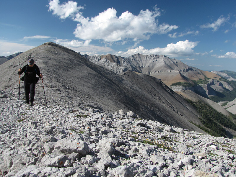
Sonny cuts across a slope to avoid needless elevation gain. |
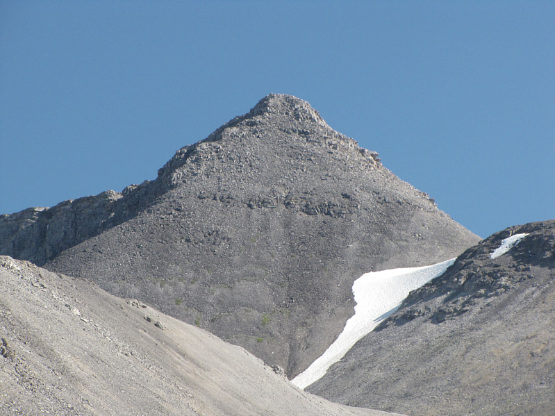 |
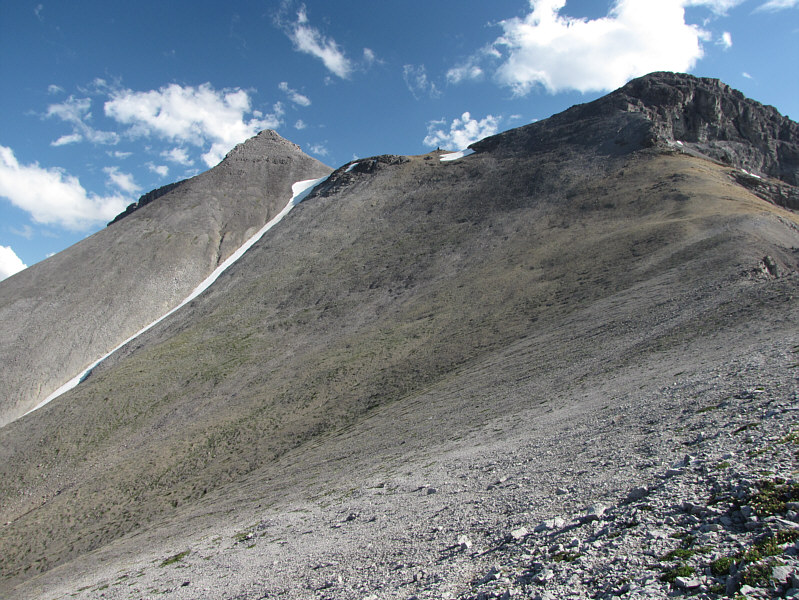
Here is a closer look at the summit block of Mount Howard. |
 |
After much side-hill bashing, the summit does not appear any closer. |
 |
Much of Mount Howard's north ridge can be traced here all the way back to Upper Canyon Creek. |
 |
From here, there is one more high point (upper right) to bypass before the summit block. |
 |
Clouds have unfortunately rolled into the area by the time that Sonny arrives at Mount Howard's 2783-metre summit. |
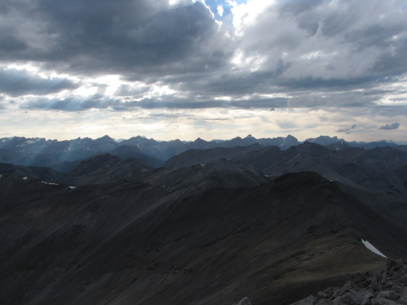 |
A sea of peaks stretch out to the west. |
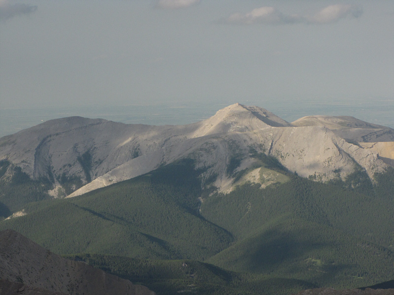 |
Moose Mountain is still awash in sunshine to the northeast. |
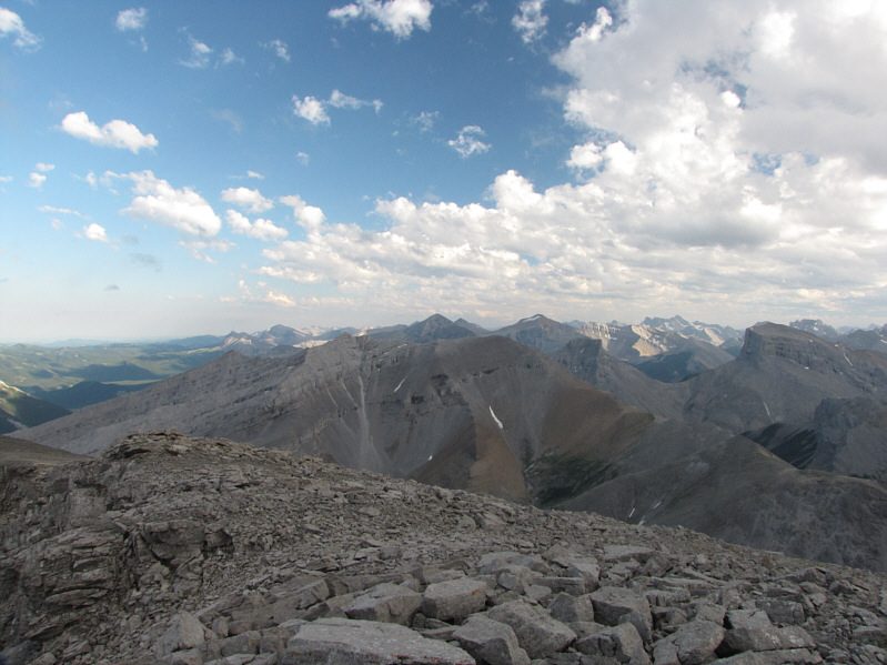 |
The southern view includes such familiar "Kane" peaks as Mount Fullerton, Mount Glasgow, Mount Remus, and Mount Romulus. |
 |
Fisher Peak dominates the view to the southwest. |
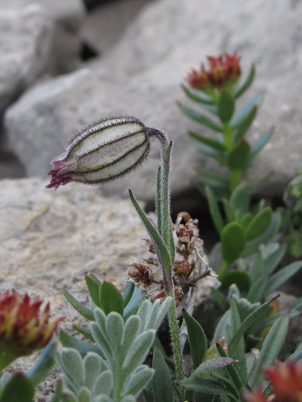 |
Nodding cockles (Silene uralensis) such as this one are seemingly abundant in the area. |
 |
Compression Ridge exhibits some interesting hues late in the day. Sonny's exit drainage is visible at bottom left. |
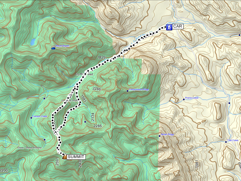 |
Total Distance: 23.0 kilometres |