|
|
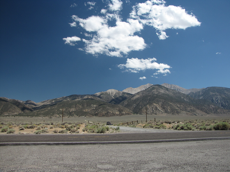
Boundary Peak and Montgomery Peak are visible from the entrance to Queen Mine road. |
Despite being the highpoint of NV, Boundary Peak is often considered a sub-peak of the slightly higher Montgomery Peak whose summit is located about one kilometre to the southwest on the CA side of the state line. After stopping at the top of Boundary Peak for about half an hour, I began making my way along the connecting ridge to Montgomery Peak. A few Class 3 sections render this connecting ridge slightly more challenging than the ascent route for Boundary Peak, but I actually enjoyed finding some hands-on scrambling for a change. It took me about 70 minutes to go from the top of one peak to the other, and when I arrived at the top of Montgomery Peak, I was a bit surprised that there was no one else to be found on either of the two peaks (remember the ATV?). In any case, I hung out at the summit of Montgomery Peak for about an hour before backtracking toward Boundary Peak.
Somewhere along the connecting ridge on my return, I stepped on a large rock that began to move under me. In trying to regain my balance, I stepped on the same rock again, and this time, I took a tumble that sent me crashing hard onto my left thigh. The jolt of pain in my leg was intense, and it took me awhile to collect myself and get back on my feet. I had likely suffered a deep bruise in my left thigh, and this would hamper my speed and mobility for the rest of my descent. What followed was over four hours of sheer hell trying to get off the mountain and back to my car. Each step I took with my left leg was a painful reminder of my nasty spill. I tried to minimize unnecessary elevation gain by contouring around the east side of Boundary Peak, but this landed me in some utterly unpleasant terrain which prompted me to climb upward anyway nearly to the summit to regain Boundary Peak's northeast ridge. Further down, the eroded sections of trail just above Trail Canyon Saddle were particularly treacherous to descend, and despite the ache in my left leg and growing fatigue, I summoned some extra effort here to maintain good balance and solid footing. I made better progress from Trail Canyon Saddle to the trailhead since the mostly flat trail here was easier to hobble along. When I reached the trailhead, the ATV was gone, and I can only speculate that it may have belonged to some hunters scouting for game in the area.
Except for a party of three that were setting up their tents beside their
lone vehicle, the Queen Mine site was virtually deserted when I limped
back to my car in the early evening. After chatting briefly with
the newcomers, I guzzled a couple cans of pop and changed into some
fresh clothes before driving out to the highway. Back on pavement,
I headed north to the town of Hawthorne, NV where I checked into a very
nice motel to lick my wounds and consider my next destination. That
destination would ultimately turn out to be Reno, NV.
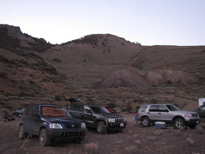 |
Queen Mine is crowded with vehicles from a large hiking club from California that climbed Boundary Peak and Montgomery Peak the previous day. |
 |
The sun peeks over the saddle beside Kennedy Point. |
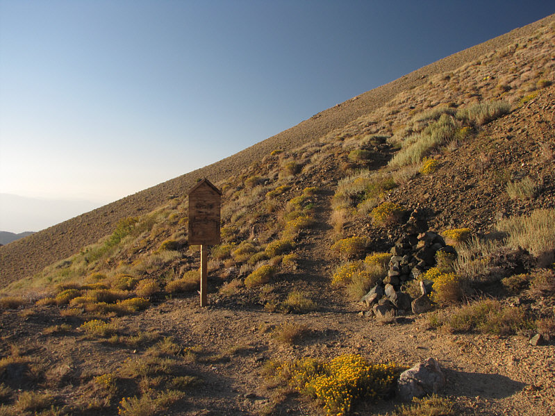 |
South of the saddle is the true trailhead for Boundary Peak. |
 |
Boundary Peak comes into view along the approach trail. |
 |
The northeast ridge is the standard route of ascent. |
 |
The trail begins to climb in earnest from Trail Canyon Saddle. |
 |
This is looking back at the approach ridge to the northeast. |
 |
The north face of Boundary Peak is a mix of mundane scree and craggy pinnacles. |

The trail continues up the northeast ridge at left.
 |
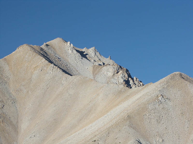
The summit is guarded by a few pinnacles. |
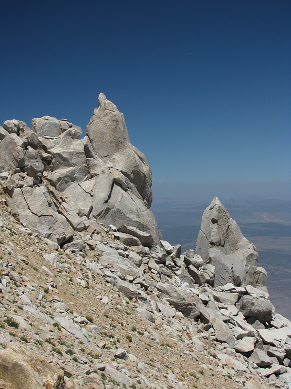 |
Here is a closer look at a couple of pinnacles. |

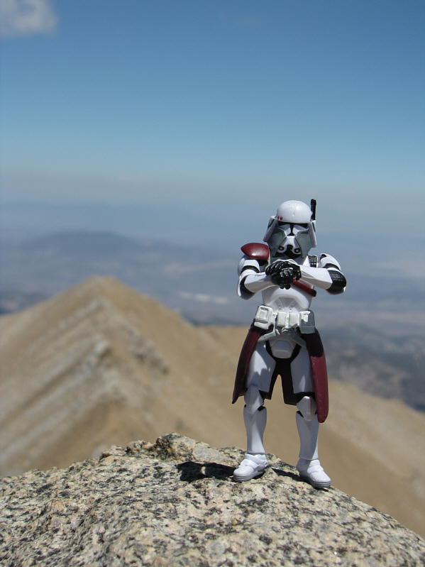
Sonny stands on the 3990-metre summit of Boundary Peak, highest point in Nevada. At far left is Montgomery Peak.
 |
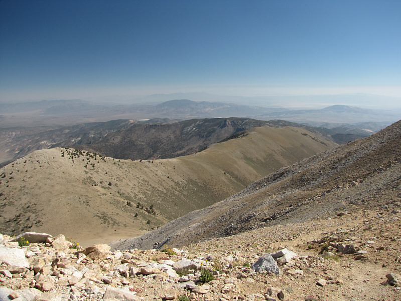
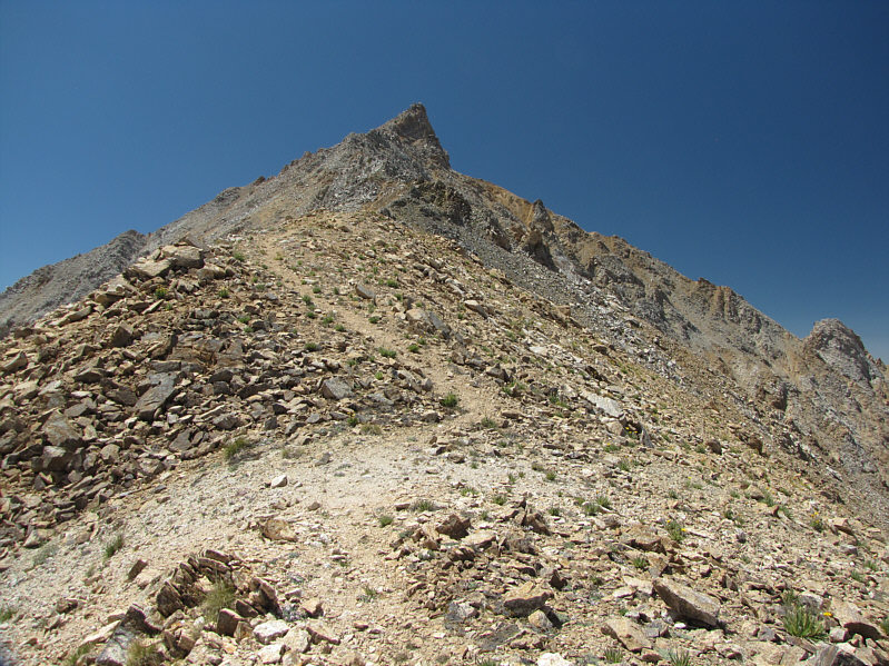
Here is a more comprehensive view of the northeast ridge from the summit. |
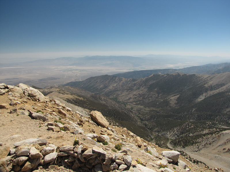 |
To the east is Middle Creek valley with diminutive Black Mountain at centre. |
 |
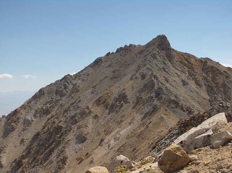
Montgomery Peak dominates the view to the southwest. |
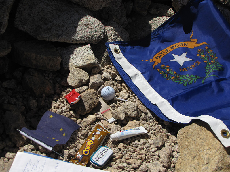 |
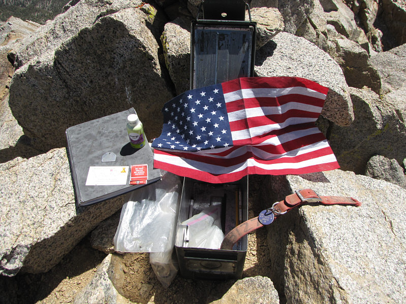
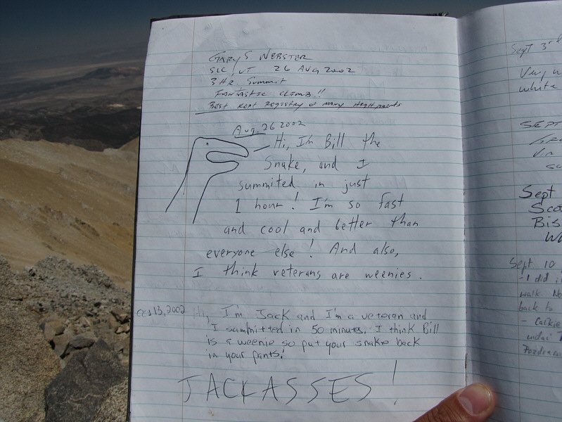
Boundary Peak's summit register contains some interesting items. |
 |
This is the remainder of the climb to Montgomery Peak's summit from the low point of the connecting ridge. |
 |
Difficulties along the ridge can generally be avoided to climber's left. |
 |
Sonny sits on the summit of Montgomery Peak (4085 metres). |
 |
On the horizon at centre to the south is White Mountain Peak. |
 |
The town of Benton, CA can be seen to the west. |
 |
Boundary Peak dominates the view to the northeast. |
 |
Here are the contents of Montgomery Peak's summit register. |
 |
Montgomery Peak's summit register has a few entertaining entries. |
 |
Here is a last look at the connecting ridge to Montgomery Peak. |
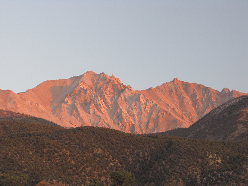 |
Boundary Peak (left) and Montgomery Peak (right) glow at sunset. |
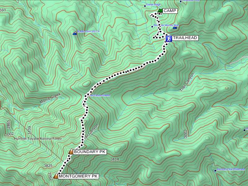 |
Total
Distance: 21.5 kilometres Round-Trip Time: 13 hours 9 minutes Total Elevation Gain: 1408 metres |