Upon reaching the summit, I spotted two people coming up the north ridge presumably via the alternate Pockets Fork-Dry Lake Fork approach. Wearing uniforms, the young man and woman were carrying a trundle wheel (used for measuring distances) which I thought was a bit odd in this age of GPS devices. I first assumed that they were forest rangers because of the uniforms, but when the young woman asked me if they were standing on the summit of Deseret Peak, I started to have doubts. The two were actually summer employees for a researcher who, for some reason, was interested in measuring trail distances in the area. Unfortunately, I did not get a chance to probe them further regarding the research or to even ask what they got paid (what a great summer job, I thought). They stopped for only a few minutes at the summit before continuing down the trail that I came up.
Shortly after
the aforementioned ladies arrived at the summit, I started down the
north ridge. Some sections of trail here are extremely steep, and in
one spot, it disappears briefly. After bypassing an obvious col and
then climbing and contouring around a ridge to a second col, the trail
finally plunges down the Pockets Fork drainage before traversing over
to the Dry Lake Fork drainage. Ultimately, the trail rejoins the
original one from the trailhead to complete the loop. Other than the
little bit of route-finding where the trail disappears, I encountered
few difficulties on descent. Upon leaving the Deseret Peak Wilderness,
I continued driving westward and eventually checked into a motel in
Wendover, an interesting town that straddles the border between Utah
and Nevada.
|
|
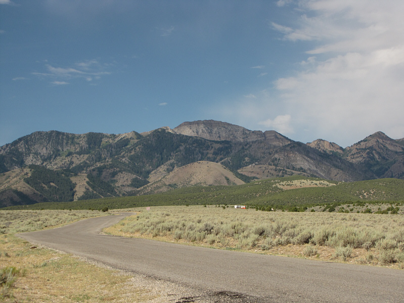
In this view from South Willow Creek road, Deseret Peak stands above all other surrounding peaks. |
|
|
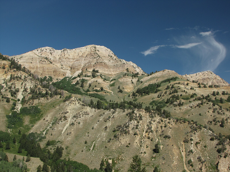
From a clearing near Mill Fork, the northeast face of Deseret Peak looks brilliant in the morning sun. |
|
|
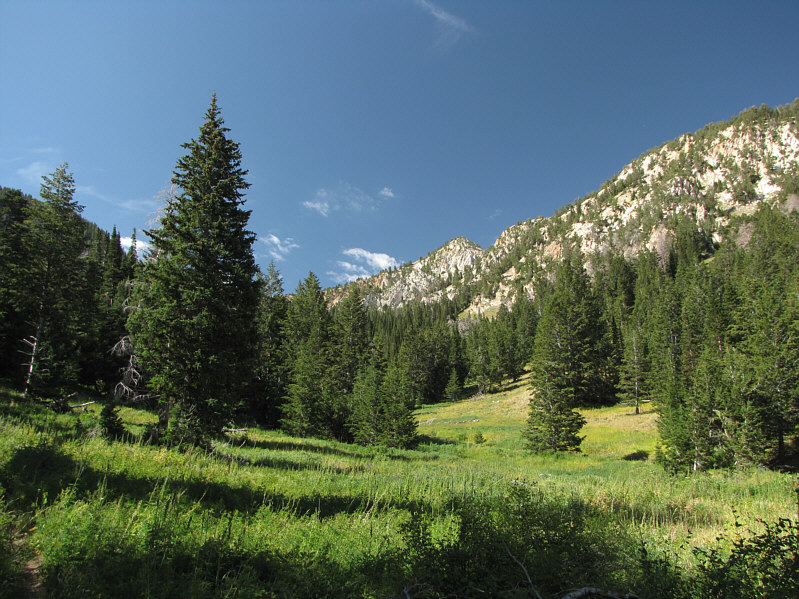
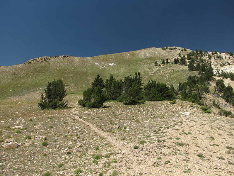
The trees begin to thin out in upper Mill Fork basin. |
|
|
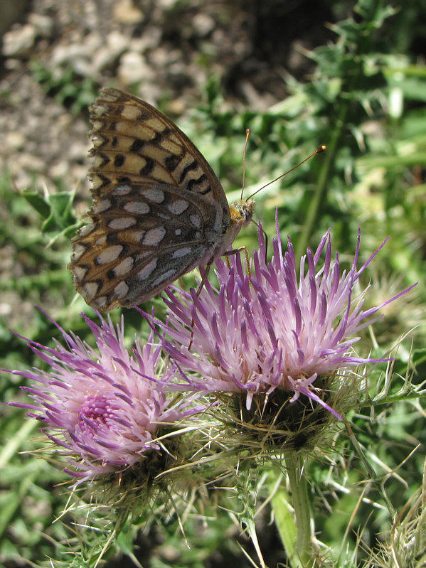
A butterfly sucks nectar from a thistle flower. |
|
|
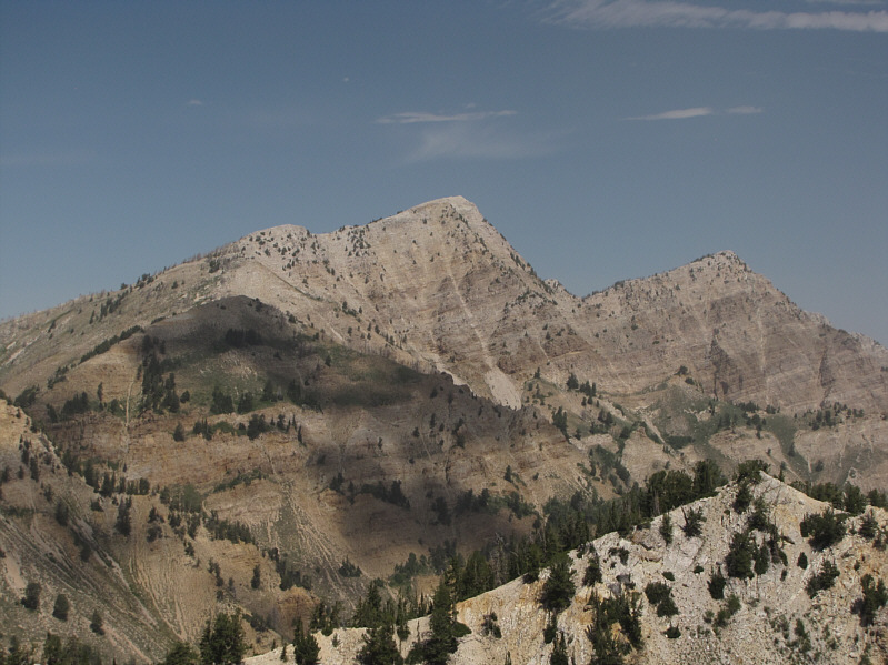
These two mountains are unofficially known as "South and North Willow Peaks". |
|
|
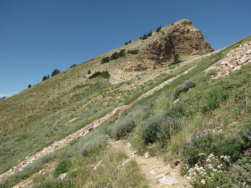
This is looking up the east ridge of Deseret Peak from the saddle. |
|
|
In contrast to the northeast face, the south slopes of Deseret Peak are relatively tame. |
|
|
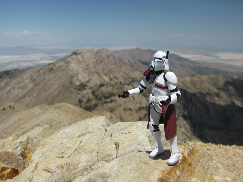
Sonny stands on the 3353-metre summit of Deseret Peak. |
|
|
At left to the south is Vickory Mountain. |
|
|
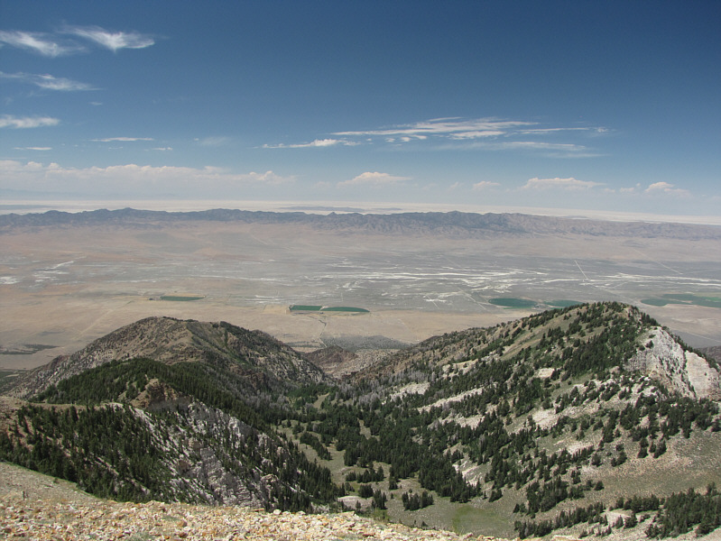
Beyond the Cedar Mountains to the west is the Great Salt Lake Desert. |
|
|
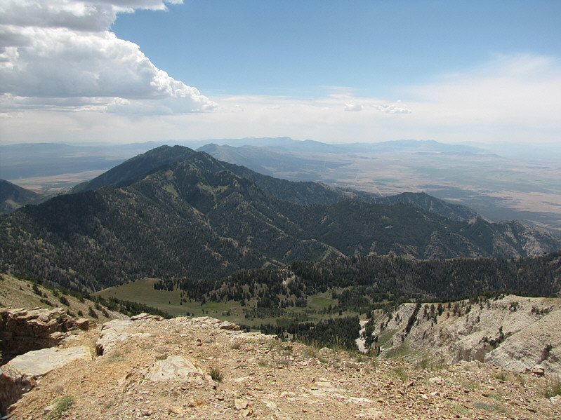
The Mill Fork basin is partly visible to the east. At far left in the distance is the Great Salt Lake. |
|
|
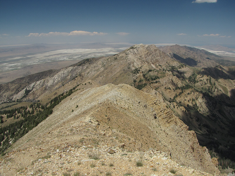
To the north are "South and North Willow Peaks". |
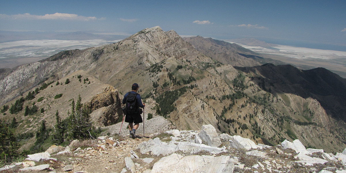
Sonny descends the north ridge of Deseret Peak.
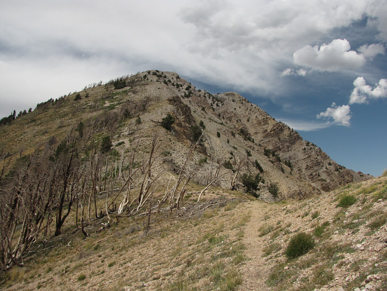 |
Here is the col below "South Willow Peak". |
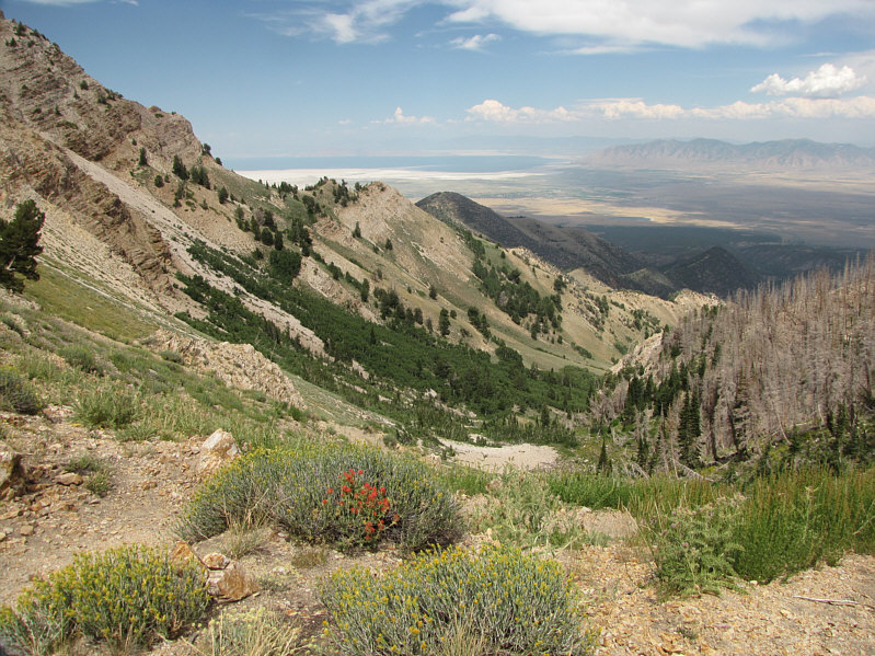 |
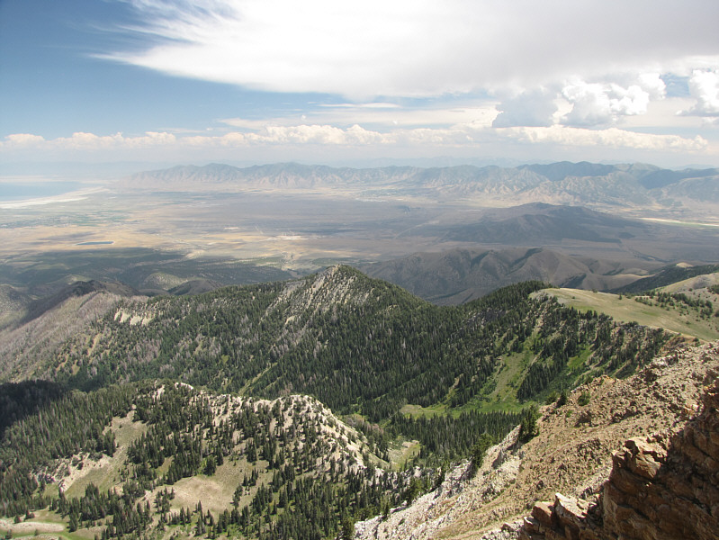
From the col, the trail drops steeply into Pockets Fork basin. The Great Salt Lake is visible in the distance. |
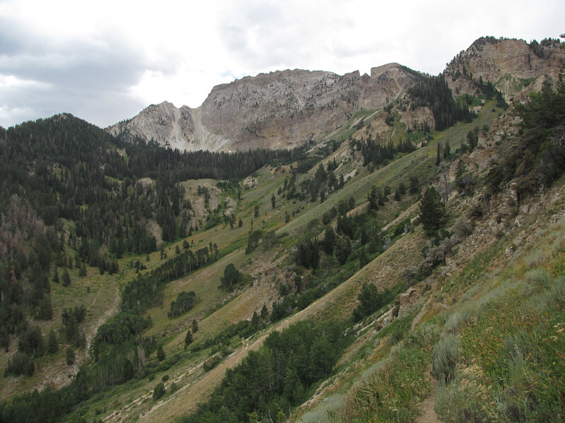 |
The northeast face of Deseret Peak towers over Dry Lake Fork basin. |
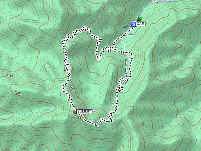 |
Total
Distance: ~11.0 kilometres Round-Trip Time: 6 hours 44 minutes Net Elevation Gain: 1103 metres |