


Leaving my car, I hiked to the end of the road and picked up a beaten path heading up through some trees. The path eventually disappears, but I continued to climb up the grassy slope until I reached a low saddle on the crest of the east ridge. Though steep in places, the terrain on the lower part of the ridge is mostly Class 1 or 2 and does not pose any serious challenges. Higher up, the ridge takes on a more serious complexion as the terrain is predominantly Class 3 for the last 350 metres or so before the summit. I stayed on the crest of the ridge as much as possible but occasionally detoured to climber's right to avoid tougher obstacles. A little more than 4.5 hours after leaving my car, I was standing on the broad summit of Diamond Peak.
After spending about 40 minutes at the summit, I retraced my steps down the mountain and enjoyed a relatively trouble-free descent. Smoke from a wildfire to the west darkened the sky, and my drive back to the highway had a rather surreal quality about it. I continued driving through the night all the way back to Calgary to conclude a most satisfying road trip which saw me drive over 6000 kilometres, visit 5 US states, play 3.5 rounds of golf, and climb 10 named peaks. I can hardly wait for my next vacation!|
|
Diamond Peak looks resplendent in the morning sun. |
|
|
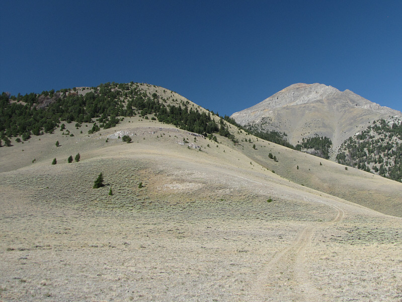
The road ends just below the white rocks. A beaten path continues up through the sparse forest but eventually peters out on the grassy ridge. |
|
|
The east ridge is initially easy Class 1-2 terrain. |
|
|
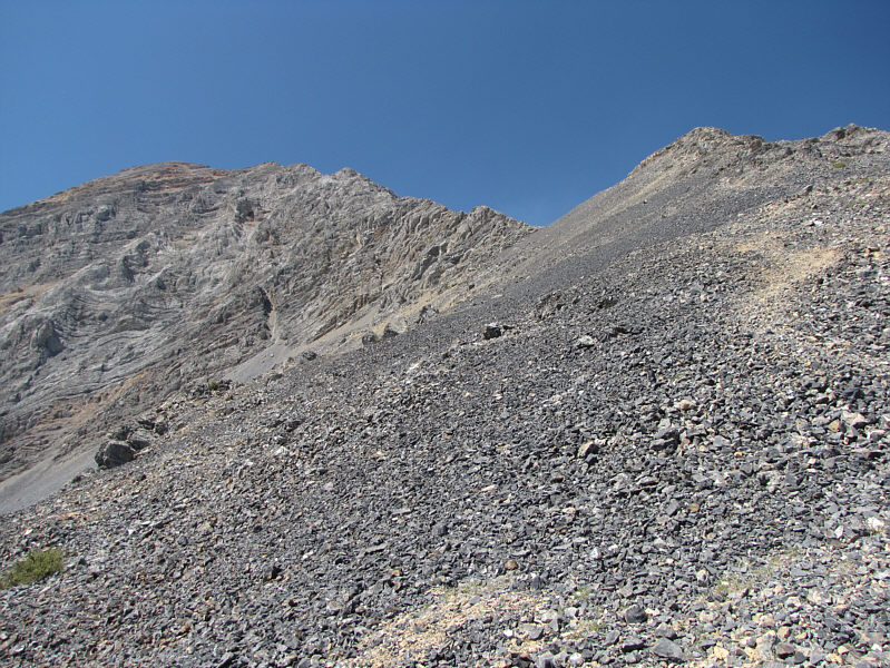
A good beaten path continues up the slope of rubble. |
|
|
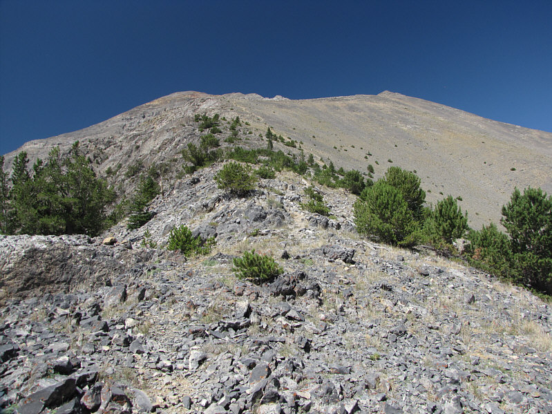
The east ridge begins to look a bit daunting. |
|
|
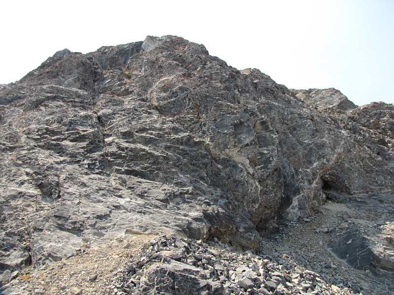
The upper part of the ridge is solid Class 3 terrain. Note the shallow cave at far right. |
|
|
A short flat stretch precedes more Class 3 terrain. |
|
|
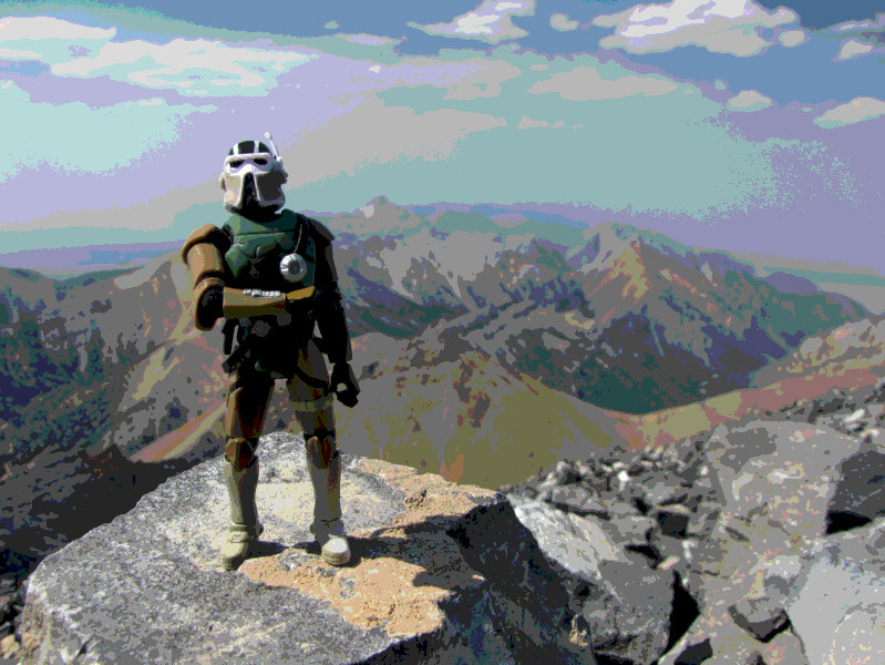
Sonny stands on the summit of Diamond Peak (3716 metres), the fourth highest mountain in Idaho. |
|
|
Bell Mountain, at distant right, stands out to the northwest. |
|
|
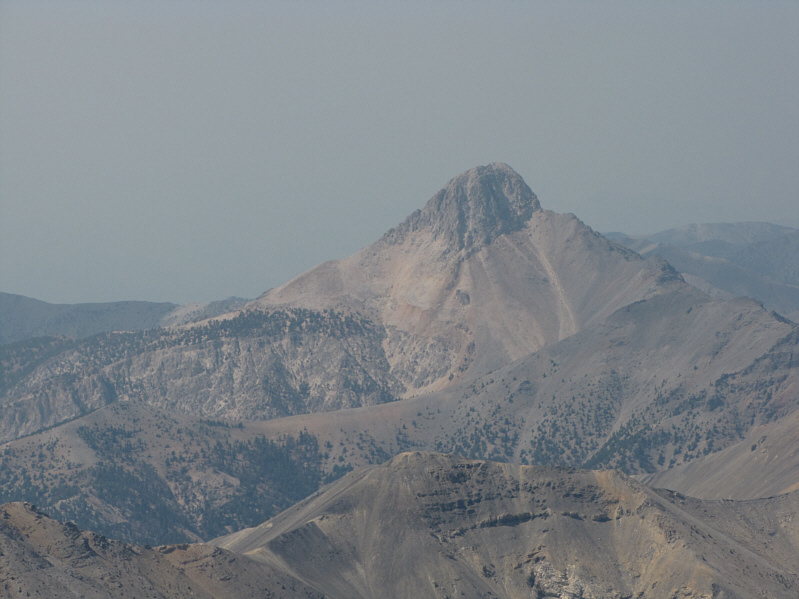
Here is a closer look at Bell Mountain. |
|
|
Across the valley to the east, Copper Mountain is nearly dead centre on the horizon. |
|
|
The Lemhi Range stretches away to the southeast. On the horizon at right is Saddle Mountain. |
|
|
This is looking back down the east ridge from the summit. |
|
|
Smoke from a major wildfire near Ketchum, ID obscures the sun over Diamond Peak. |
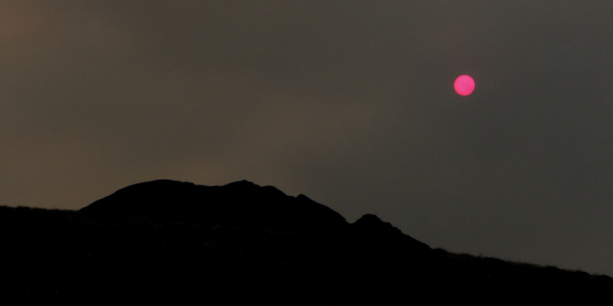
The sun turns an eerie pink colour as the smoke thickens.
 |
Here is a last look at Diamond Peak from where Sonny parked his car. |
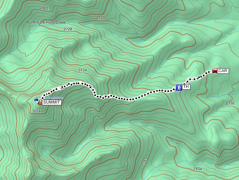 |
Total
Distance: 15.6 kilometres Round-Trip Time: 8 hours 6 minutes Net Elevation Gain: 1267 metres |