

Using Jim Boone's route description, we started off along a dirt road just off Highway 160 (Blue Diamond Road) near the village of Mountain Springs. After climbing past a microwave tower, we hiked over the crest (1878 metres--actual high point of the trip) of the Spring Mountain Range before following an undulating ridge eastward. A little more than half a kilometre before the summit, the landscape changes dramatically from grey limestone to orange and yellow sandstone. This is also where the trip gets more interesting as some route-finding and scrambling is required to reach the base of the final summit block, the highest of three distinct summits in close proximity at the end of the ridge.
Although the crux on the final summit block has been rated as Class 4 by Boone and others, I thought it was merely a tough Class 3 with some mild exposure. The toughest part is getting onto the crux from the bottom although a cairn there makes a great stepping stone (aid climbing?) and simplifies matters. After taking some photos and signing the register, I down-climbed the crux and rejoined Bob and Dinah who had opted to forego the final summit block in favour of tagging another summit to the west.
We stopped for a well-deserved break on the western summit before beginning our return trip. Not yet done, I tagged another summit to the southwest before following Bob and Dinah back along the ridge. Instead of climbing over the crest of the Spring Mountain Range again, we took an alternate route down a wide drainage which led us quickly to a dirt road and eventually back to our starting point.
As expected, this trip was short, and after returning to Las Vegas, I parted ways with Bob and Dinah and headed to Boulder City to play a round of golf. Admittedly, the hike up Hollow Rock Peak was far more memorable than my golf game.
Be sure to check out Bob's and Dinah's photos
here.
|
|
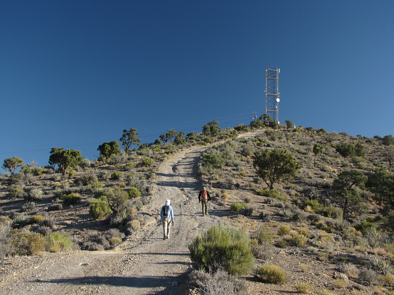
Dinah and Bob hike up to the microwave tower. |
|
|
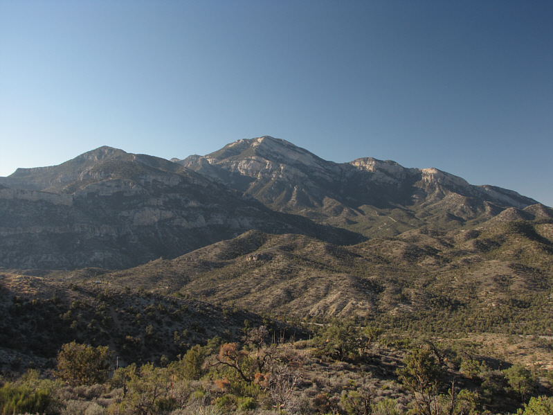
Potosi Mountain looms to the south. |
|
|
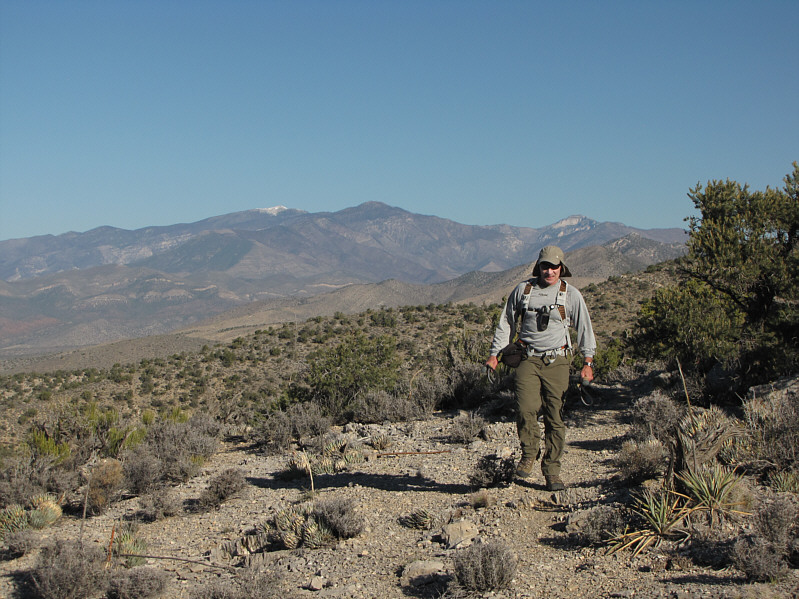
Bob hikes along the crest of the Spring Mountains. Coincidentally, the high point of the Spring Mountains, Charleston Peak, is visible at distant left (snow-covered). |
|
|
Dinah and Bob head eastward along the ridge. |
|
|
Dinah drops down a sandstone staircase. The summit of Hollow Rock Peak is visible at upper right. |
|
|
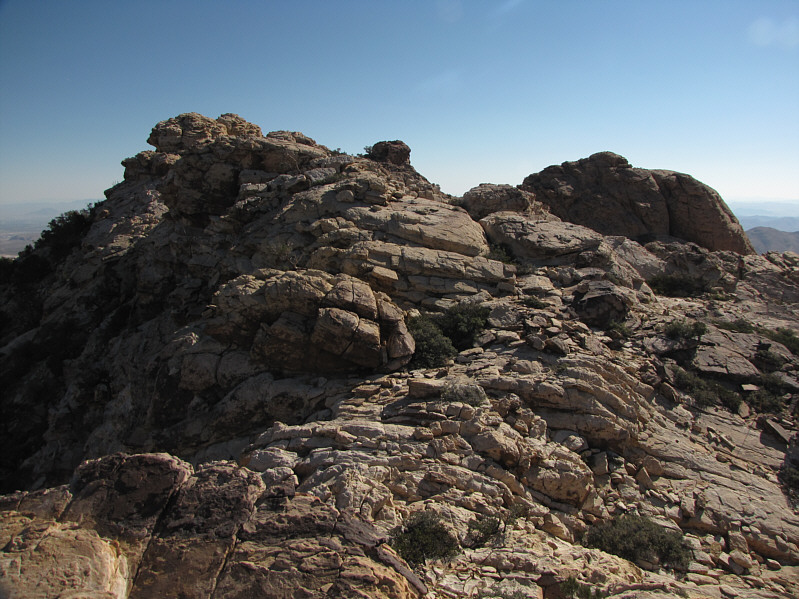
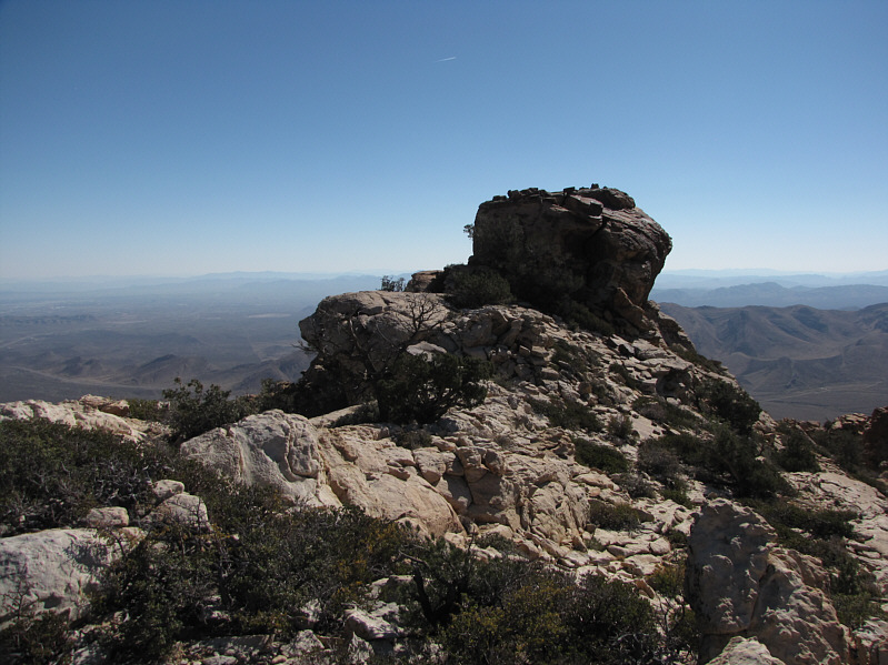
The terrain is wonderfully complex here. Note the three separate summits. |
|
|
The easiest route up the final summit block is on the north (left) side. |
|
|
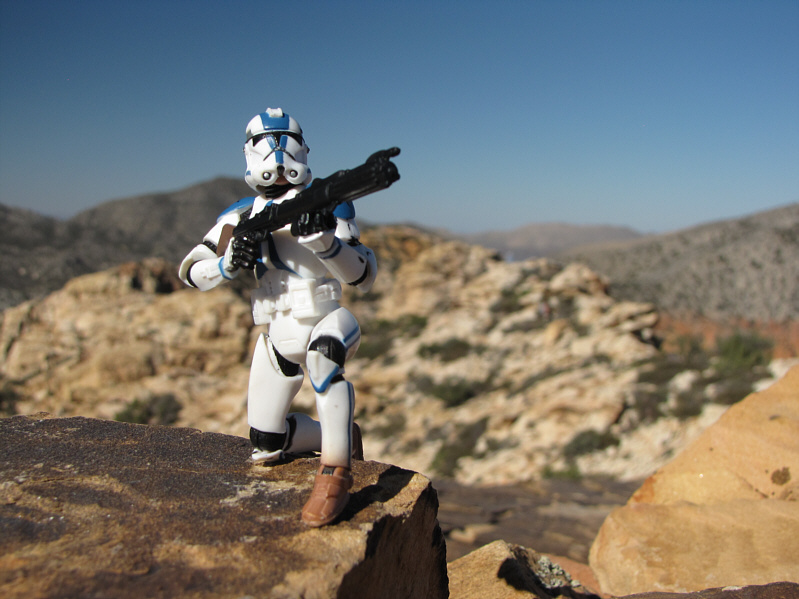
Sonny kneels on the 1834-metre summit of Hollow Rock Peak. |
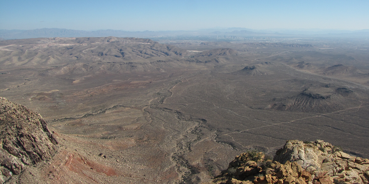
Las Vegas can be seen to the northeast. At left is Blue Diamond Hill.

Here is a closer look at the casino resorts of Las Vegas. In behind are Sunrise Mountain (left), Frenchman Mountain (right), and Muddy Peak (distant centre).
 |
A slightly lower summit (right) sits to the southwest. Dominating the horizon at left is Potosi Mountain. |
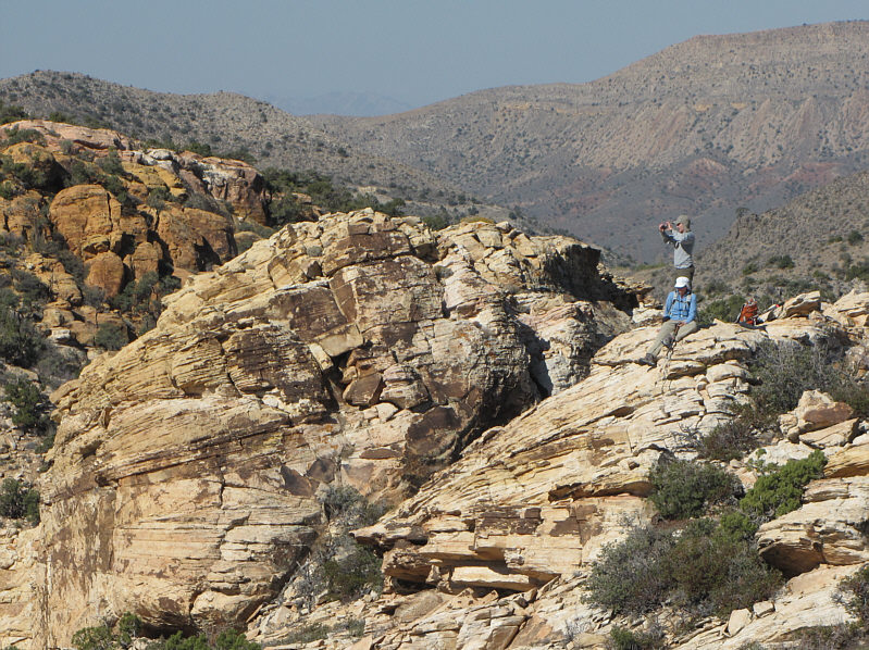 |
Dinah and Bob relax on another summit just to the west. |
 |
This is the crux on the final summit block. |
 |
Here is a view of the final summit block from the lower southwest summit. |
 |
Dinah and Bob ascend a rocky gully on the return trip. |
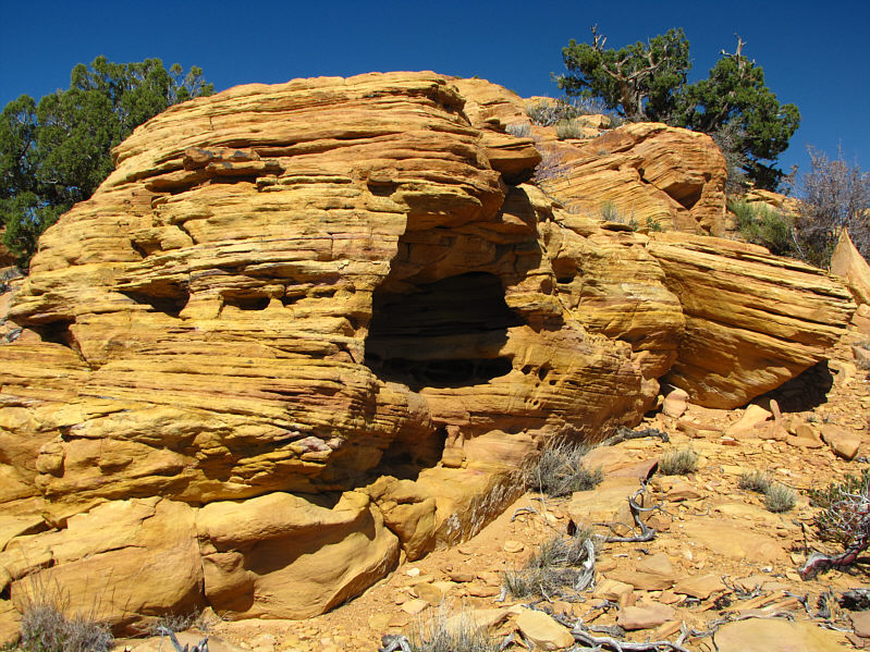 |
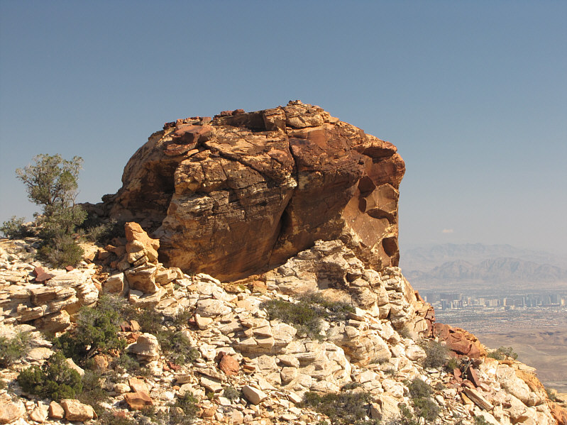
Although this is not the summit of Hollow Rock Peak, this is indeed a hollow rock. |
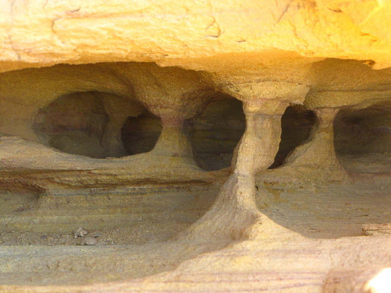 |
Here is a close-up of some of the mini-caverns inside the hollow rock. |
 |
Sandstone in Red Rock NCA is remarkably colourful. |
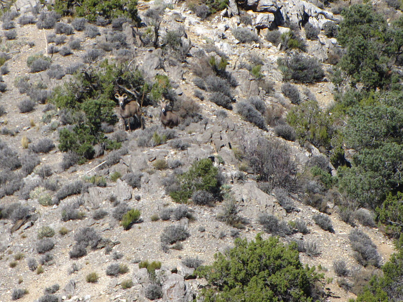 |
A pair of sheep appear to be startled that people are still visiting the NCA during the government shutdown. |
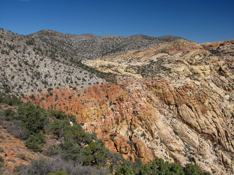 |
The transition between limestone and sandstone is best illustrated here. |
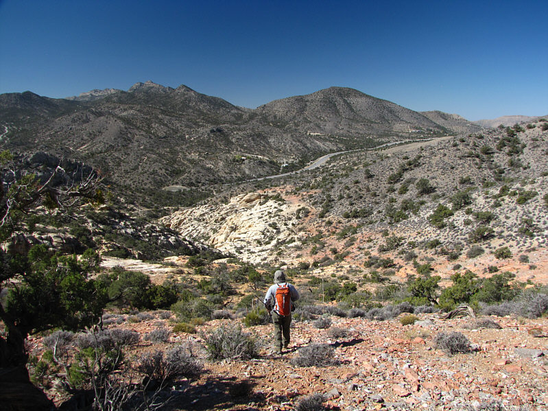 |
Bob follows the red rocks down to the dirt road which is visible to the left of the pale rocks. |
 |
Total
Distance: ~7.5 kilometres Round-Trip Time: 3 hours 48 minutes Net Elevation Gain: 171 metres |