BOU AVENUE
Mount Backus
Inspired by a recent
attempt by Dave McMurray, Bob Spirko invited me to join him and Dinah
Kruze for a snowshoe ascent of lowly Mount Backus in Alberta's Castle
Crown Wilderness on 15 March 2014. Linda Breton had published a
trip report
for Mount Backus a few years back, and given the tribulations she
encountered on her ascent, I was less than enthused about following in
her footsteps. With dangerous avalanche conditions persisting in
the mountains though, the relatively safe southwest ridge of Mount Backus
seemed like a wise choice for a snowshoe trip.
Using McMurray's report, Bob had plotted a
waypoint for our starting location, but because of abundant snow on the
shoulders of the highway, we had trouble finding a good place to park my
car. We also checked out the road to the east that runs halfway up
the southeast side of Mount Backus. Breton had used this road for a
quick descent, but as she had pointed out in her report, this easier
access route entails trespassing across private land. We were
disinclined to do so, and besides, going up this way would have made for
a stupidly short trip. We eventually settled on parking in a plowed
section of the shoulder a few hundred metres west of Bob's waypoint, but
with all things being equal, it probably did not really matter where we
started along that stretch of the highway.
After climbing over a couple of fences,
we donned our snowshoes and headed up through the trees. We climbed
over a low intervening ridge before settling into a steady ascent up the
main southwest ridge. The snow pack on this side of the mountain
was highly variable, and we encountered everything from bare ground to
hardened crusts and deep powder. Travel was frustrating at times
due to the inconsistency of the snow. It took us about two hours to
muddle our way up to the windswept summit although it felt a lot longer.
Because of a cold wind, we only stayed
long enough to snap some photographs before retreating to the shelter of
some trees below the summit. We had a quick bite to eat here before
retracing our steps back down the mountain. Our descent was perhaps
even more strenuous than our ascent as many of the sections of snow that
were supportive earlier in the day began to soften up. A few of the
holes that we sank into were quite deep and provided glimpses of rather
nasty deadfall underneath. I suspect that the bushwhacking along
this route when the snow disappears is probably just as aggravating.
Suddenly, trespassing across private land does not sound so bad after
all.
Check out Bob's trip report
here.
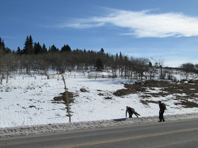 |
Bob and Dinah hop over a snow bank by the side of the highway. |
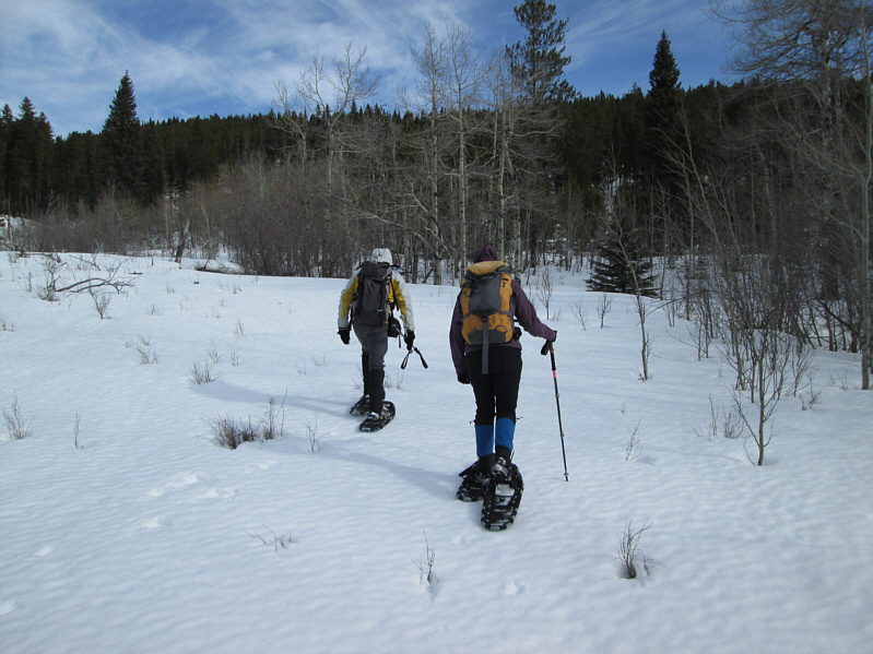 |
The snow appears to be quite supportive here. |
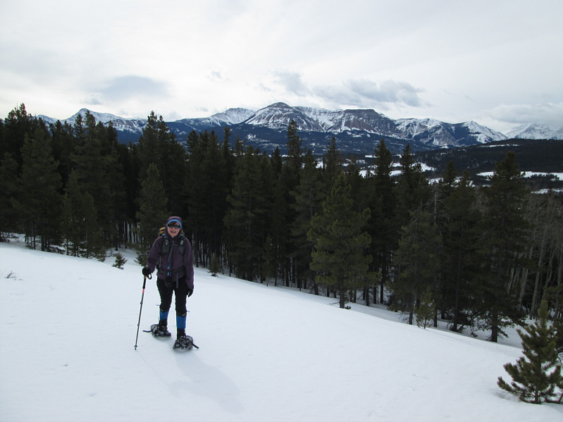 |
Views start to open up as Dinah climbs
up an open slope. In the distance is Table Mountain. |
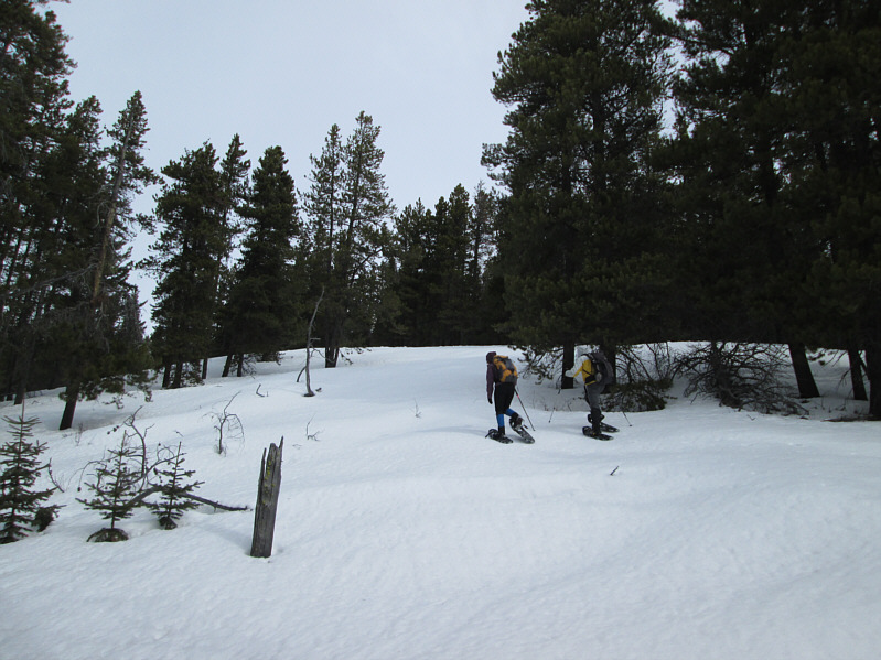 |
Dinah and Bob tramp up a steeper
section of the ridge. |
 |
The bare summit of Mount Backus comes into view. |
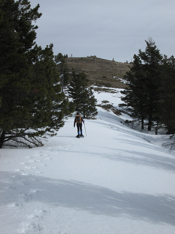 |
Dinah takes the final steps to the summit. |
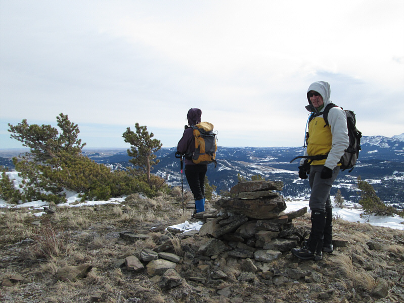 |
Dinah and Bob gather around the cairn
on the 1818-metre summit of Mount Backus. |
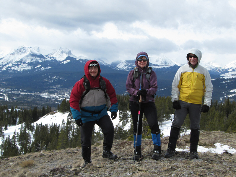 |
Sonny, Dinah and Bob pose for a group
photo on the summit. |
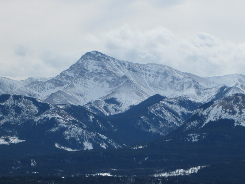 |
To the southeast is Victoria Peak. |
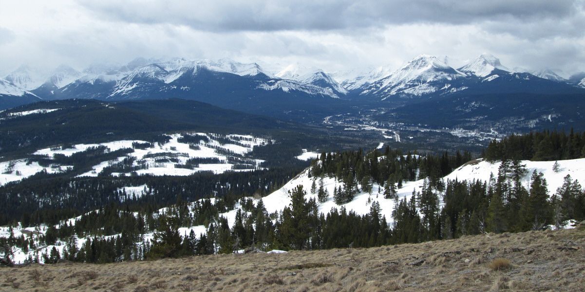
Clouds partially obscure many of the peaks to the
southwest.
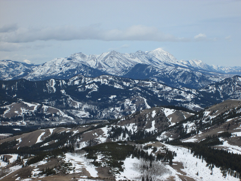 |
The most prominent mountain to the
north is Centre Peak (left). |
 |
Bob descends a bare patch of ground on
snowshoes. |
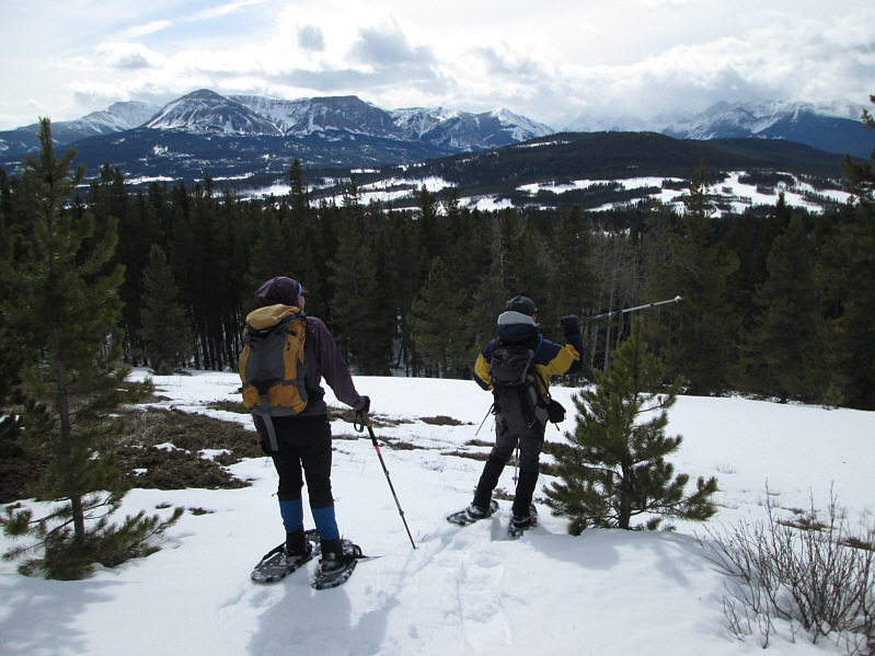 |
Dinah looks on as Bob points out the
location of the nearest public bathroom. |
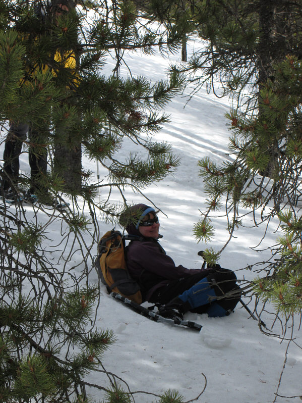 |
The return trip is fraught with a lot of sinking and flopping. |
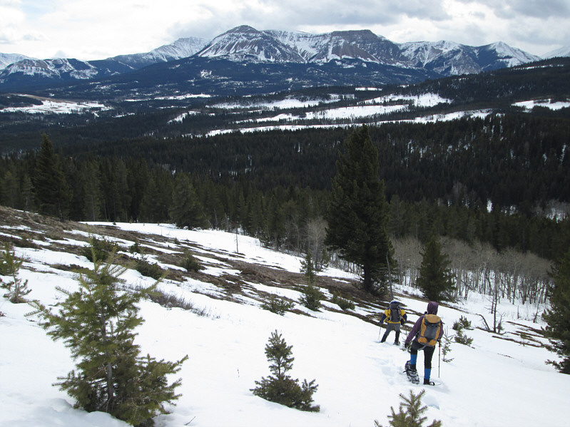 |
Bob and Dinah continue to muddle their
way down the slope. |
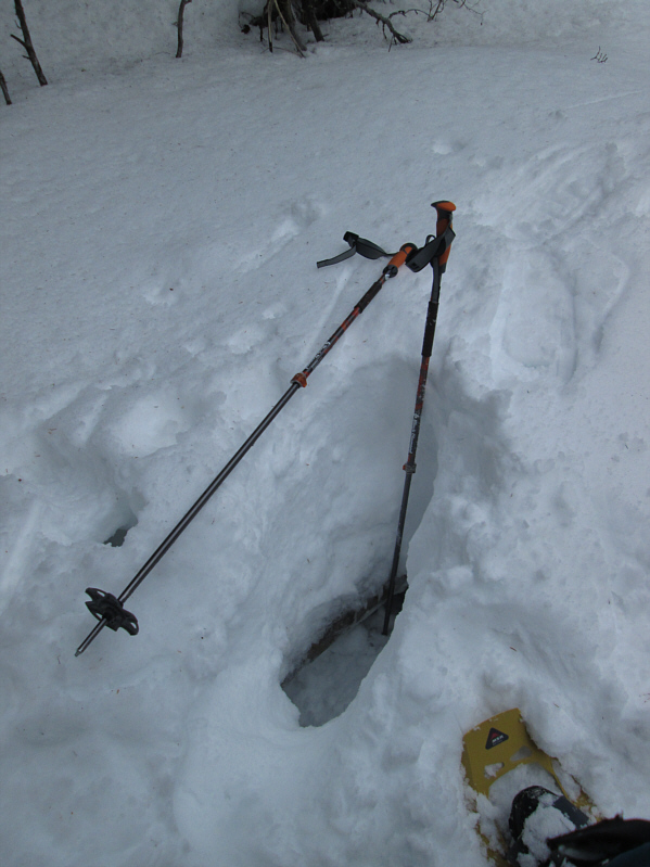 |
This photo illustrates the snow depth
in the area and hints at the nasty deadfall underlying the snow. |
 |
Dinah is up to her neck in snow! |
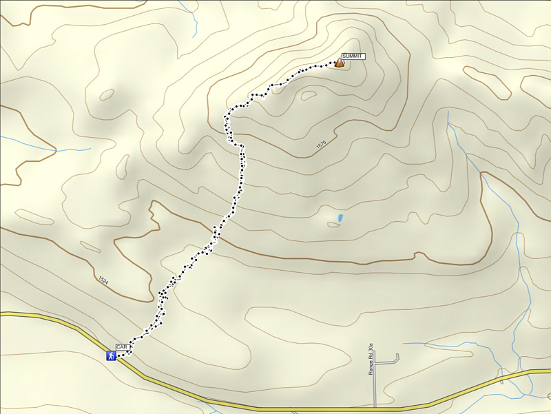 |
Total
Distance: ~5.2 kilometres
Round-Trip Time: 4 hours 5 minutes
Net Elevation Gain: 367 metres |


