BOU AVENUE
Crowsnest Ridge

Driving through Crowsnest Pass on the Alberta-British Columbia (BC) border on numerous occasions, I have always been intrigued by Crowsnest Ridge which towers above Crowsnest Lake and is topped by a massive telecommunications antenna.  Though it is overshadowed by many higher peaks in the vicinity, Crowsnest Ridge looks like it would make for a simple winter climbing objective, and on 15 February 2014, I invited Dinah Kruze and Bob Spirko to join me for a snowshoe ascent.  Starting from the gate to the parking lot for Crowsnest Pass Provincial Park (essentially a roadside rest area which is closed during the winter) on the BC side of the Continental Divide, we headed north through a break in the trees before joining the main road leading eastward to Phillipps Pass.  Right off the bat, snow coverage was surprisingly deep which made trail-breaking both unpleasant and wearisome.  Further on, we left the road to climb up a steep and wide cutline.  Bob did a heroic job of breaking trail here, and we were soon on the high point of the cutline which afforded our first view of the summit antenna.  From here, we muddled our way through some more trees and deep snow before breaking out onto the crest of the windswept ridge.  Travel was significantly easier here, but because of some uncertainty about whether or not we could follow the ridge crest all the way to the summit, we decided to take to the snow-choked access road which runs along the north side of the ridge below the crest.  We spotted a significant break in the ridge later on which seemed to justify our route selection, but the trail-breaking along the road was brutally tiring especially as we approached the last few switchbacks before the summit.  Although the massive antenna and accompanying structures on the summit marred the panoramic views, they at least afforded us some shelter from the chilly wind.  After spending about 25 minutes poking about on the summit, we descended the way we came.  Even though most of the return trip was downhill along a freshly broken trail, we still had a tough time physically as Bob and I both suffered from leg cramps while Dinah had some issues with her hips.  I am not sure if these ailments were due to this being our first snowshoe trip in awhile or simply a sign of old age, but I certainly had fun suffering alongside good friends.

Be sure to check out Bob's trip report here.
Whew...I'm tired already! Bob and Dinah ascend a steep cutline.
The summit is much farther away than it looks. 
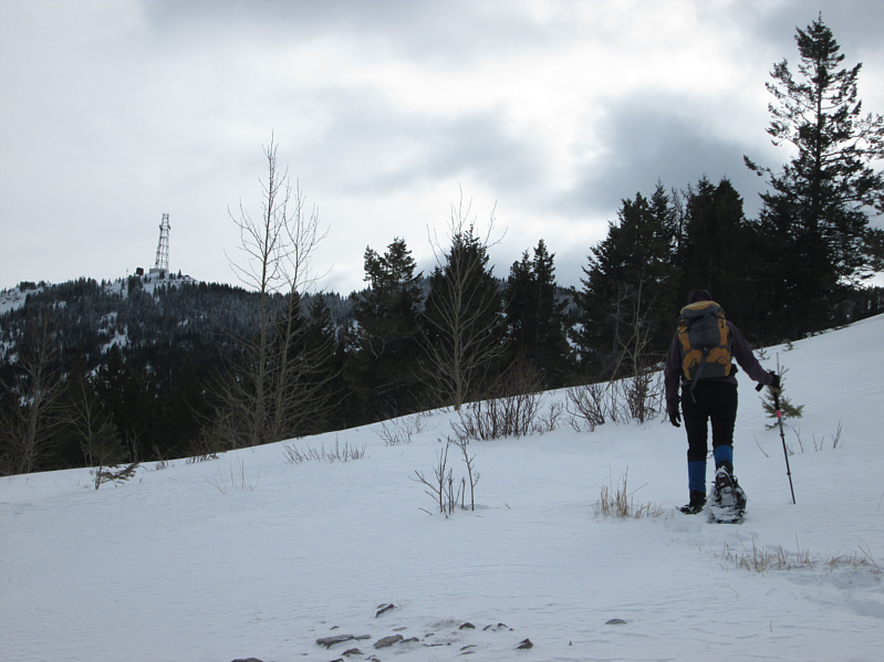
Dinah spots the summit antenna from the high point of the cutline.
Tough slogging! 
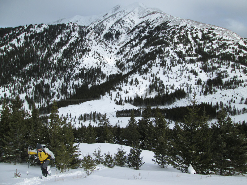
Phillipps Peak features prominently behind Bob as he trudges through the snow.
Moody sky. 
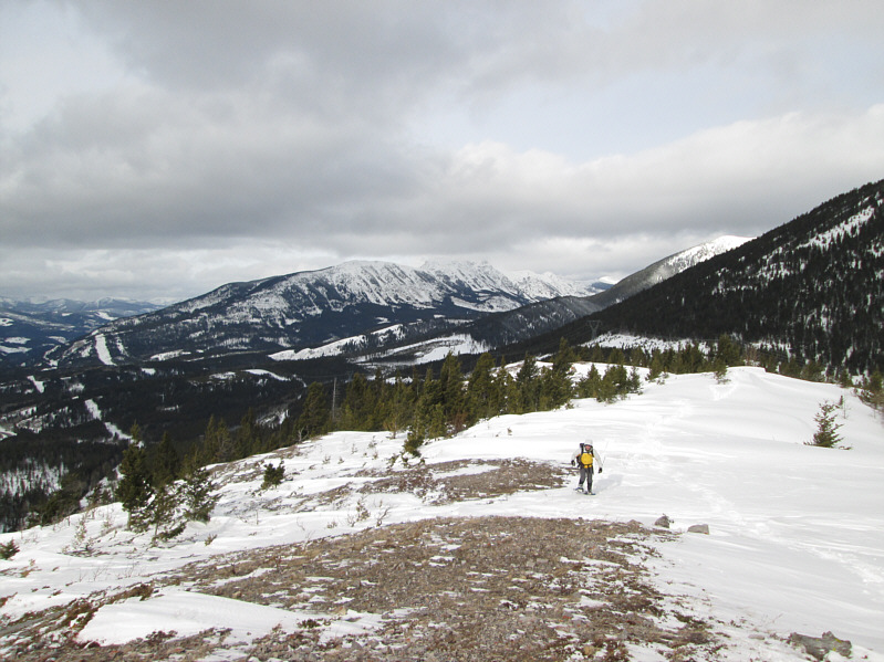
Dinah surveys the open ridge ahead.
Don't take off your snowshoes just yet... Bob comes up the windswept ridge.  Mount Erickson is partially visible in the distance.
I thought it would be smooth-sailing from this point on...doh! Dinah continues up the open ridge.
Maybe we should have stuck to the ridge... The access road is choked with deep snow.
The Continental Divide runs right through the lake, so I wonder which ocean the water drains into... 
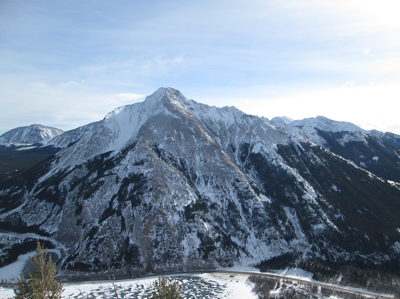
Frozen Phillipps Lake sits at the foot of Phillipps Peak.  Barely discernible to the right of Phillipps Peak is Mount Tecumseh.
Not sure who or what broke trail along here. 
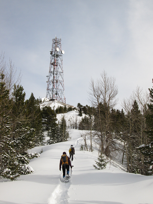
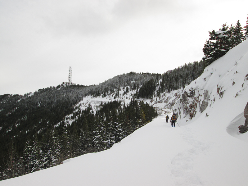
Dinah and Bob walk up the final stretch of the access road before the summit antenna.
Should be able to get good TV reception up here! Dinah and Bob stand under the gargantuan antenna on the 1906-metre summit of Crowsnest Ridge.

The true high point of the ridge is far to the north.

To the northwest is Mount Erickson and Erickson Ridge.

A classic Kane scramble. Sentry Mountain dominates the view to the southeast.
Another classic Kane scramble. 
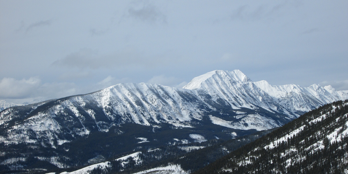
Crowsnest Mountain rises majestically to the northeast.
I stole this shot from BIGDoer's website (http://www.bigdoer.com/406/summits/crowsnest-radio-tower). The giant antenna stretches seemingly out of sight into the sky.
I'm wearing that goofy hat in support of our Olympic athletes who are currently competing in Sochi, Russia. 
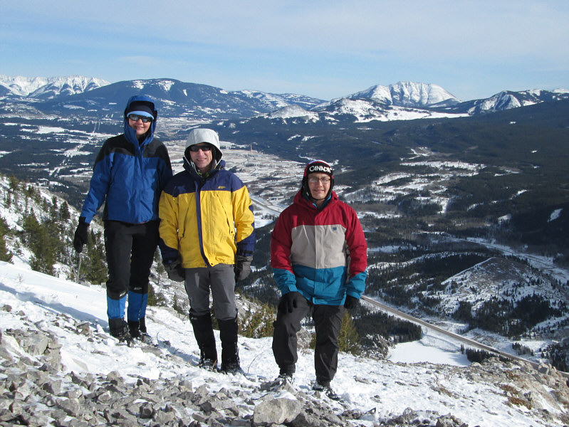
Dinah, Bob and Sonny pose together near the summit of Crowsnest Ridge.  At right in the distance is Turtle Mountain.
Skis might have been nice here... Dinah and Bob retrace their steps back down the ridge.
Despite the presence of the antenna, this is a worthwhile objective for any time of the year. Total Distance:  ~8.4 kilometres
Round-Trip Time:  4 hours 53 minutes
Net Elevation Gain:  510 metres