BOU AVENUE
Mount Hornecker
On 22 November 2014, I accompanied Bob Spirko for a quick hike up Mount Hornecker in the southern reaches of Alberta's Kananaskis Country.  Although this minor peak is usually climbed in conjunction with several other surrounding peaks in the area, both Bob and I had already tagged the other summits on previous trips.  Starting from a bend in Highway 940, we picked up a logging road and followed it through a cut-block before plunging about 20 metres into Mean Creek valley.  The road eventually peters out at a fork in the creek, and we crossed the creek twice before ascending the forested west slope of Mount Hornecker.  Travel was easy through the forest, and it did not take long to break out of the trees and climb the remaining open slope to the top.  Although we were blessed with relatively clear skies over us on the summit, a strong wind made it uncomfortable to linger for long.  After completing our usual summit chores, Bob and I descended back to the shelter of the trees before stopping for a break in a glade.  The rest of our hike out was uneventful.

Be sure to check out Bob's trip report here.
It's windy, but at least the sun is out! 
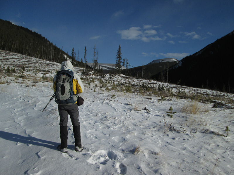
Bob follows a snow-covered road through a cut-block.  Mount Hornecker is visible in the distance.
Don't worry; the bushwhacking is very minimal. 
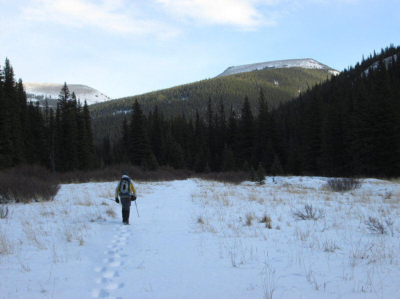
The route ascends the treed slope ahead.
It's only mean; it's not mean spirited! 
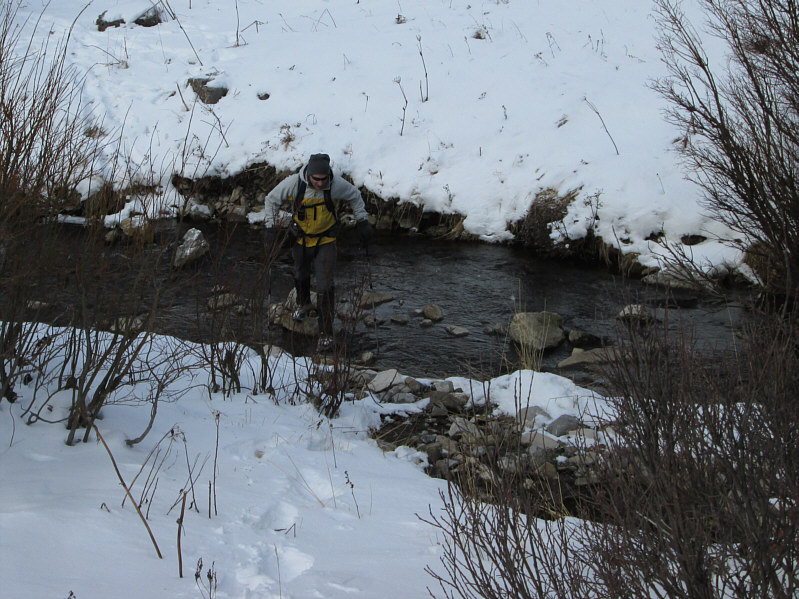
Bob hops across Mean Creek.
Told ya the bushwhacking was minimal! 
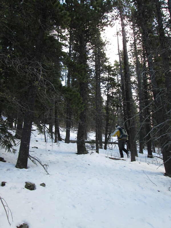
Bob climbs up the treed slope.
Brutally windy here! 
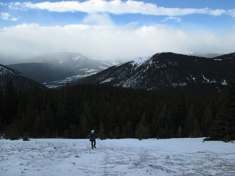
Bob emerges from the forest onto open slopes.
Watch out for the cornice! 
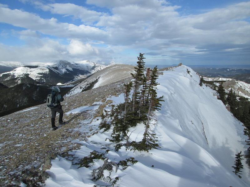
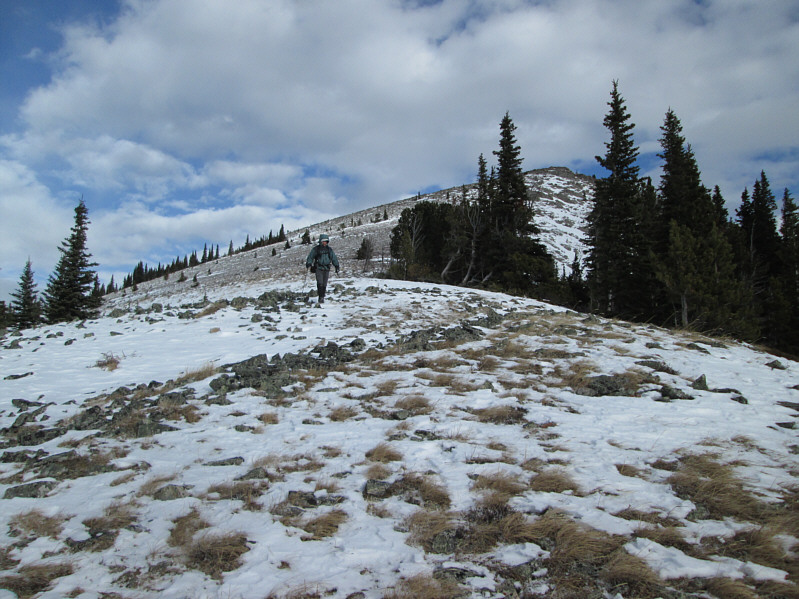
Bob takes the last few steps before the summit.
I was almost blown off the mountain here! Bob and Sonny stand on the 2233-metre summit of Mount Hornecker.
I have some fond memories of ascending that mountain. 
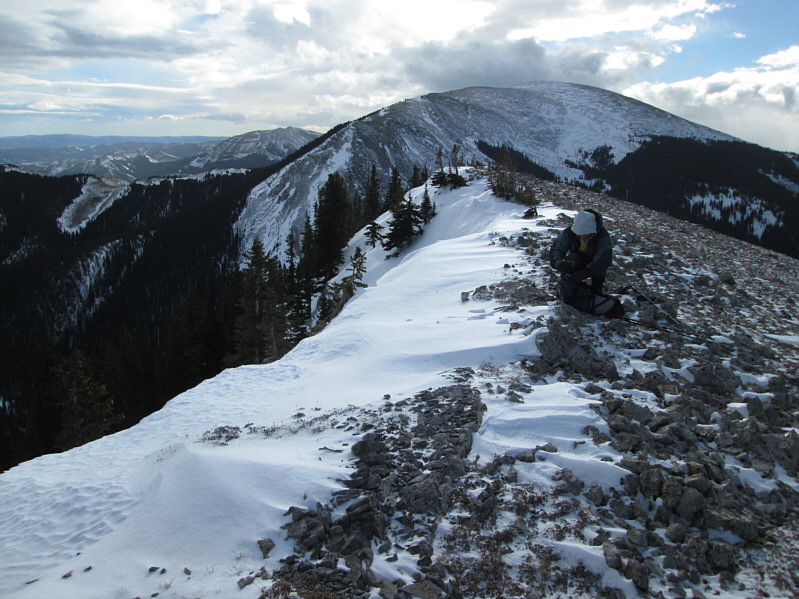
Mount Livingstone dominates the view to the south.
Also known as The Shaddle in one of Gillean Daffern's guidebooks. 
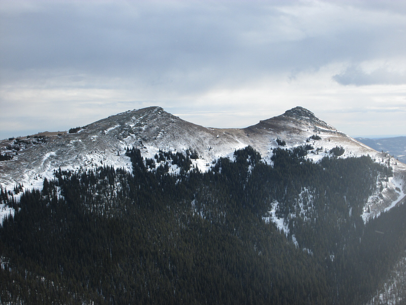
The twin summits of Saddle Mountain lie to the east.
It gets steeper if you continue southward... Bob descends the south ridge for a short distance.
Actually, I'm quite eager to plunge into the forest again and get out of this bloody wind! 
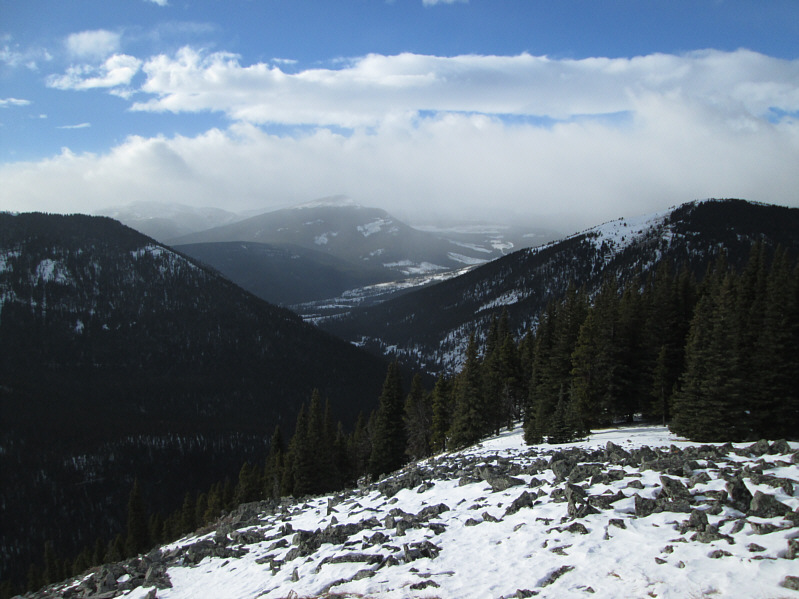
To the west, Isola Peak is shrouded by clouds somewhere at distant left.
Uphill both ways it would seem! 
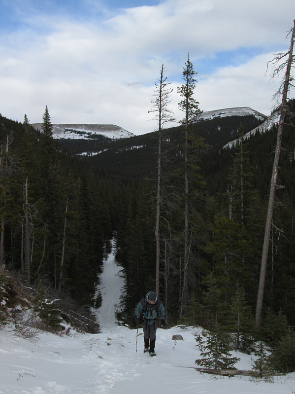
Bob climbs up a steep hill on the way out.
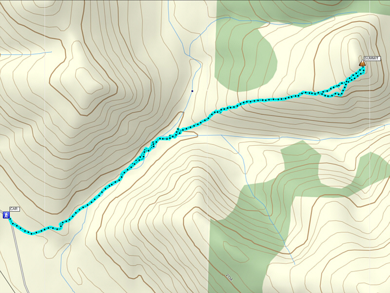
A very short but pleasant trip. Total Distance:  7.5 kilometres
Round-Trip Time:  3 hours 21 minutes
Net Elevation Gain:  458 metres

GPX Data