BOU AVENUE
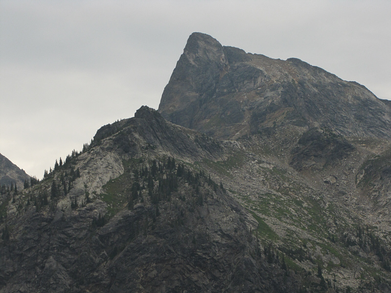
Lucifer Peak
When I first visited the Gwillim Lakes basin
in British Columbia's Valhalla Provincial Park in
2006,
I knew virtually nothing about any of the rugged peaks in this remote
park let alone any scrambling routes. One peak in
particular--Lucifer Peak--caught my attention, and though I did not have
time to investigate, I was confident that there was a non-technical route
up to the summit. Some trip reports by Sandra McGuinness that I
found later on Bivouac.com would confirm my suspicions, and I have been
keen ever since on returning to scramble up Lucifer Peak.
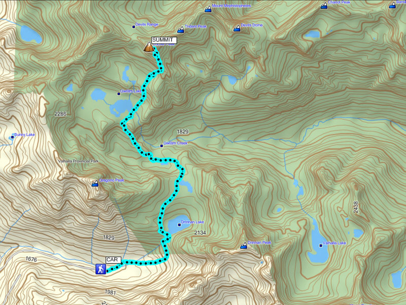
As things turned out, I did not return to
Valhalla Provincial Park until 14 August 2014. After spending the
previous night at the Little Slocan Lake Recreation Site (free
campground), I once again drove up Hoder Creek forestry service road (2WD
okay, but high clearance vehicle recommended) to the Gwillim Lakes
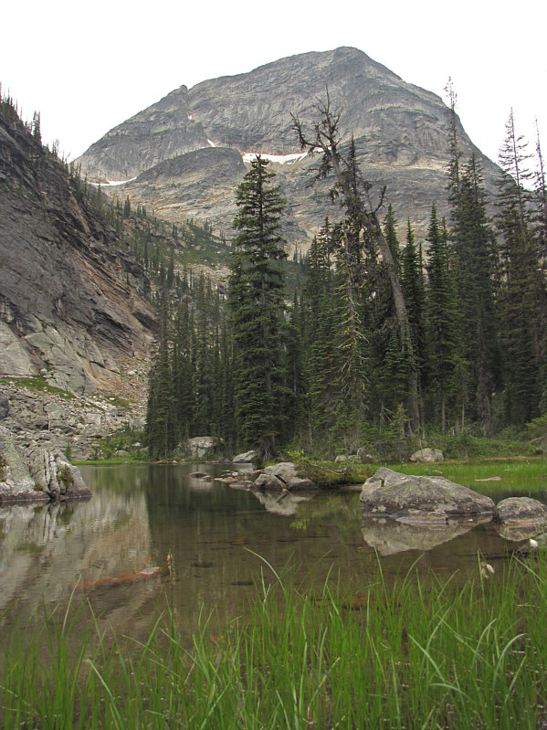
trailhead. Oddly enough, it took me an hour longer this time to
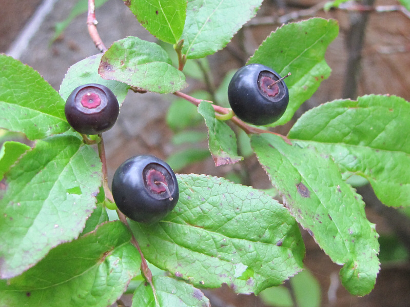
hike to the basin on the well-maintained trail. An abundance of
huckleberries along the trail certainly contributed to my slow progress,
and the overcast sky did not exactly motivate me to pick up my pace
either. Shortly before I reached Gwillim Lakes basin, a light rain
began to fall steadily. I could sense that this rain was not going
to let up for the rest of the day, but I was also loathe to turn around
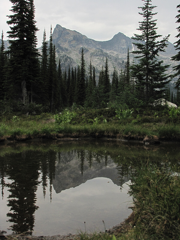
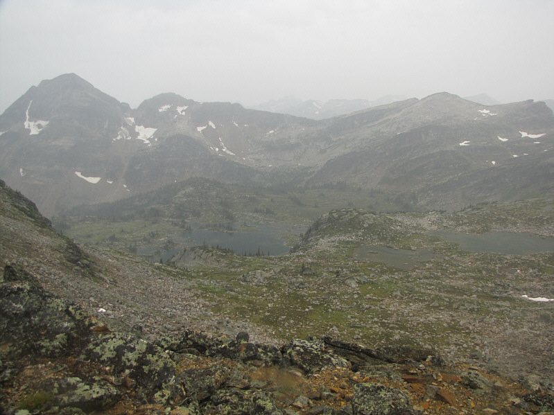
after making such a huge commitment to get back here. From the
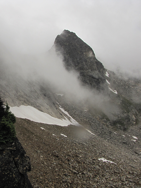
basin, I could still see the top of Lucifer Peak, and despite the
likelihood of no summit views, I was determined to finish the climb
anyway.
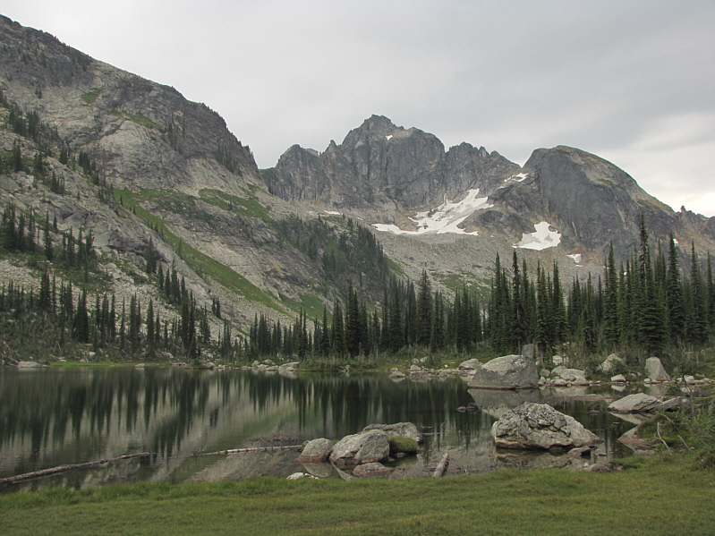
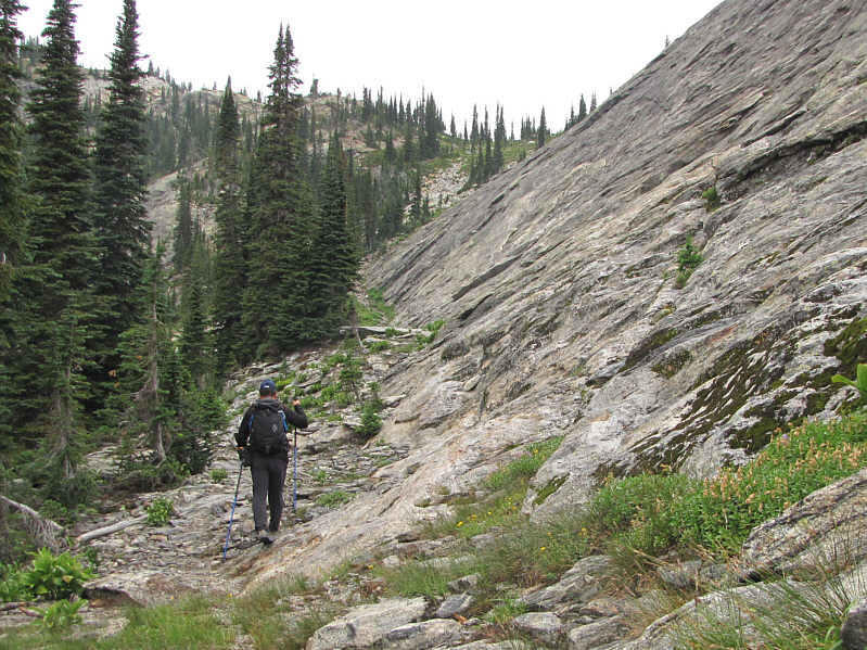
A good trail goes past the backcountry
campground's outhouse which resembles a grain elevator (see my 2006 trip
report for a photo). I followed this trail to the base of a talus
slope leading to a higher plateau. Although the trail disappears
here, there are plenty of cairns marking the way up. On the
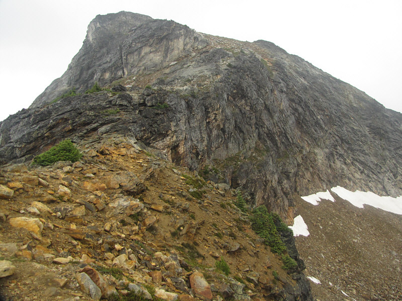
plateau, I picked up a fainter trail which eventually leads to the crest
of Lucifer Peak's south ridge. Continuing up the south ridge was
initially quite easy as I followed cairns and a beaten path. All
the while, I was slowly getting soaked by the rain, but I still felt
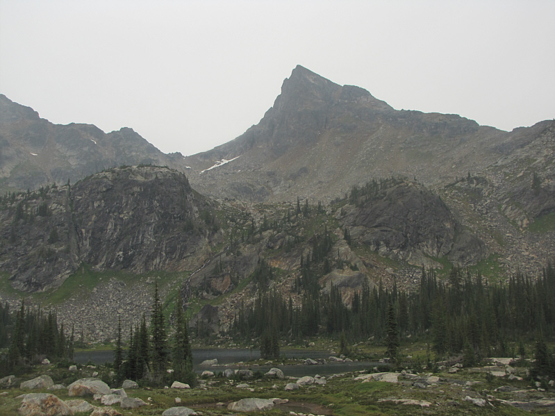
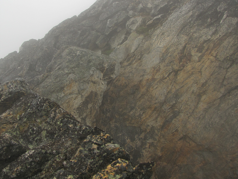
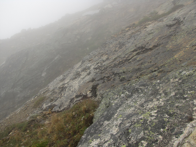
quite comfortable in my damp clothes. Higher up, steep-angled rocks
blocking the ridge crest forced me to traverse across some mildly exposed
slabs to climber's left. Under dry conditions, I would not have
thought twice about walking across these slabs, but the rain had made
them dangerously slick. I backed off once before summoning the will
and courage to step gingerly across this short but treacherous section.
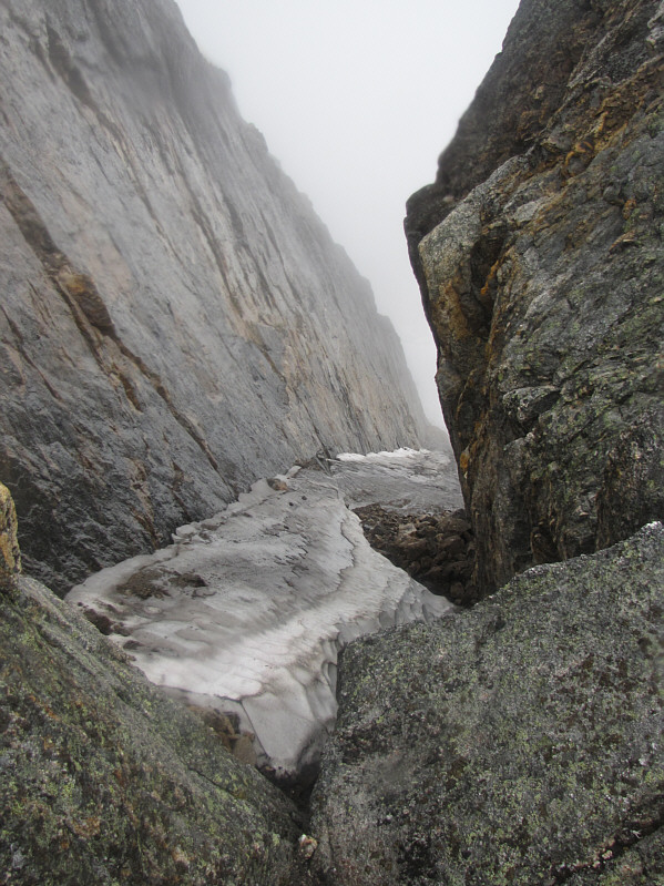
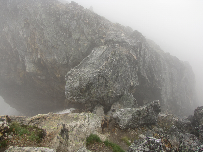
Some easy scrambling followed before I reached the crux of the ascent--a
large chockstone wedged in a rift that cuts across the ridge. The
exposure here is significant, but most worrying to me again was the
slickness of the rock. I took off my wet gloves in order to get a
better grip, and with a few awkward moves, I managed to scramble over the
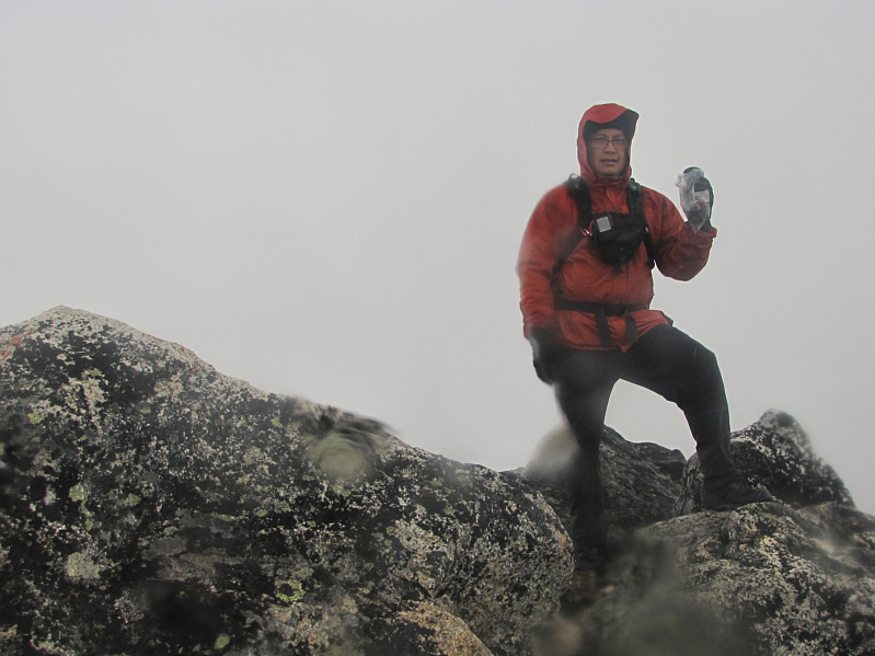
chockstone. Soon after, I was standing on the summit with nothing
to see but mist all around.
Less than eight minutes after reaching the
summit, I was on my way back down. Both the chockstone and the
exposed slabs proved just as challenging if not more so on descent, but
with some care, I was able to get through them safely. The rest of
my long hike out went without a hitch except for the huckleberry bushes
which again slowed me down considerably. After returning to the
trailhead, I changed into some dry clothes before driving out the long
and bumpy road back to the main highway. I would eventually check
into a motel in the town of Grand Forks to dry out for the night.
In retrospect, this trip was disappointing
for me because of the lousy weather and the lack of views from the
summit. On the other hand, the rest of the trip--the scenic
approach, the challenging scrambling, and all the huckleberries I could
eat--was highly enjoyable. Though I normally avoid repeat ascents,
it would not take much to motivate me to return and climb Lucifer Peak
again under more favourable weather conditions.