BOU AVENUE
Needle Peak

While staying in Hope, British Columbia for a few days, I had a chance to visit nearby Coquihalla Summit Recreation Area and ascend Needle Peak on 23 August 2014.  Described in both Matt Gunn's Scrambles in Southwest British Columbia and Jack Bryceland's 103 Hikes in Southwestern British Columbia, Needle Peak is a deservedly popular objective with a short approach on a good trail and some enjoyable scrambling just before the summit.

Driving from Hope, I turned off the exit at the Zopkios Rest Area and proceeded to the back of the gravel shed on the south side of the highway.  Although I began the trip just behind the shed as described by both Bryceland and Gunn, there is actually a new trailhead with designated parking a bit further west (the turnoff is just before the gravel shed area).  Oblivious to the new access, I crossed the creek behind the shed and thrashed along an overgrown trail until I intersected the good trail coming from the new trailhead.  I turned left and headed into the forest.  Though steep in a few places, the trail is well-maintained and easy to follow.  It was not long before I was out of the forest and hiking south along a semi-open ridge toward the west end of Needle Peak.  I lost the trail at one point when I wandered a bit too far from the crest of the ridge, but it was simple enough to get back on track.

Upon reaching a broad plateau, I left the main trail and began climbing up the west ridge of Needle Peak.  I soon came upon a short and mildly exposed rock band guarding the ridge.  Surmounting this rock band is not overly difficult, but it is awkward enough to discourage some casual hikers.  Above the rock band, I hiked along a level stretch before reaching the base of Needle Peak's summit block.  Though it looks intimidating from a distance, the summit block is actually relatively easy to climb with minimal exposure.  I really enjoyed the scrambling here, and my only regret is that it was so short-lived.  After a leisurely summit stay, I returned the same way and had no problems descending any of the scrambling sections.  However, my hike out was slowed by an abundance of huckleberries along the main trail.  It is just too hard to pass up free food!
Despite the size, the berries were surprisingly tasteless. Big raspberries can be found near the trailhead in August.
Nice to get some views quickly for a change! 
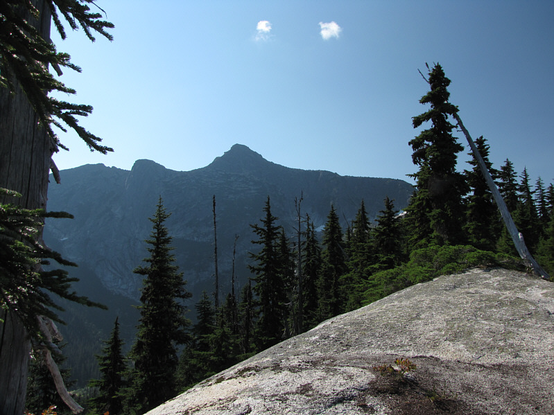
Needle Peak comes into view along the approach trail.
Very pleasant hiking. Sonny continues up the trail beside a small sub-alpine meadow.
A rather odd name for a peak given that there aren't really any yaks in the area...that I know of! Yak Peak stands out to the northeast.
Stick to the crest of the slabby ridge in the foreground. The route of ascent follows the right skyline ridge.
There is a green rocket near the top. 
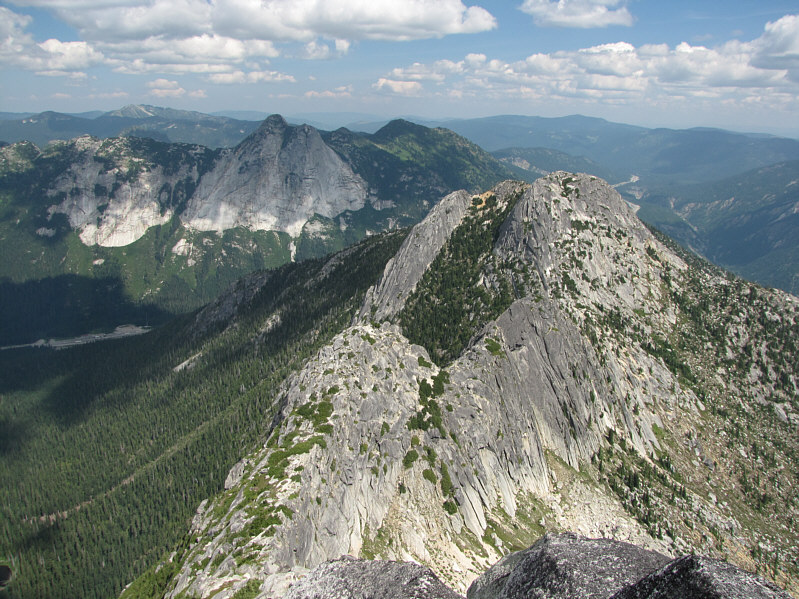
The western outlier (unofficially named The Flatiron) of Needle Peak invites further exploration.
Buzz buzz. A bee goes about its business among pink mountain heather.
Good place for a snack break! A faint trail leaves the main trail at this point and heads up the rocky ridge.
The blonde with her hands on her hips was smoking hot! 
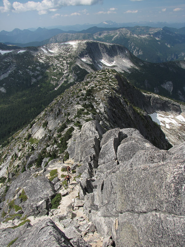
A group of women scramble just below the rock band guarding the ridge.
Looks impregnable... A few people can be seen on top of Needle Peak's summit block.
A great finish coming up! The scramble route follows the main crack up the middle.
This is steeper than it looks here. 
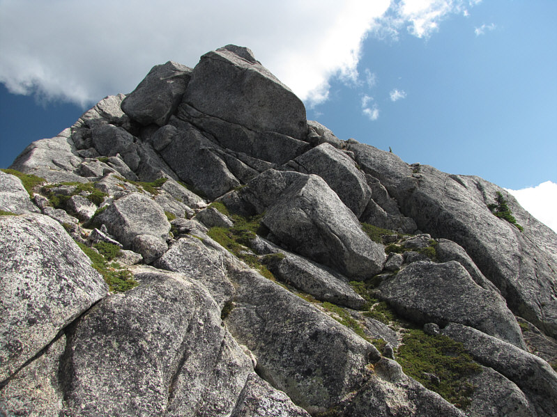
The easiest route goes up to the right of the boulder blocking the ridge.
This part was a lot of fun. This is looking back along the west ridge of Needle Peak from partway up the summit block.
"Look To The Sky" is one of my favourite Antonio Carlos Jobim tunes! Sonny looks to the sky on the 2090-metre summit of Needle Peak.
Apparently a nak is a female yak. 
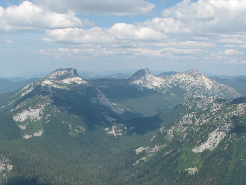
Yak Peak and Nak Peak can be seen in the distance beyond Needle Peak's northeastern outlier (unofficially named Markhor Peak).
More animals that aren't normally found here! Guess they got tired of naming every other mountain Goat or Sheep! To the north are (L to R) Alpaca Peak, Vicuna Peak and Guanaco Peak.
May be worth a closer look in the future... 
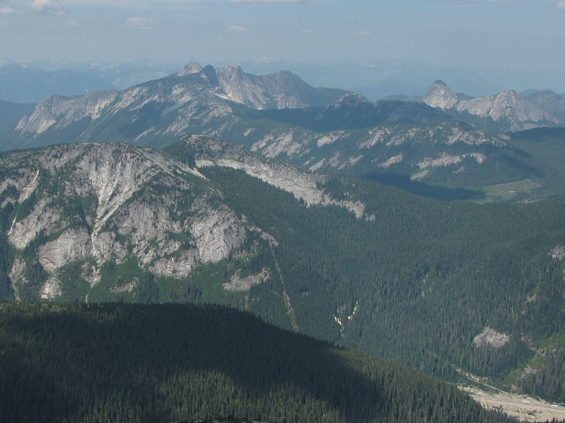
Peaks of the Anderson River Group can be seen to the northwest.

Those snowy peaks on the right horizon have piqued my interest.

The view to the west includes The Flatiron (left) and The Old Settler (on left horizon with snow patch).

Fun stuff! A couple of hikers descend the lower crux.
Some interesting geology here. 
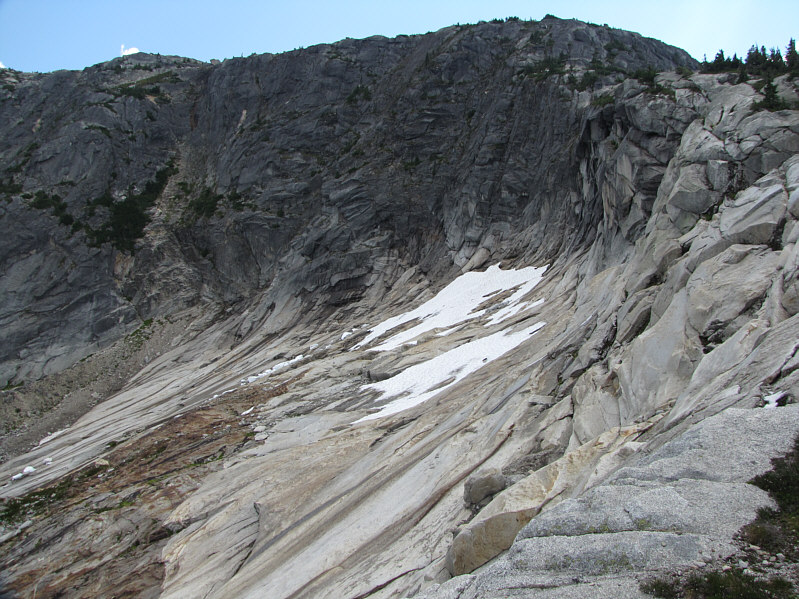
The cirque below the end of Needle Peak's west ridge deserves some attention.
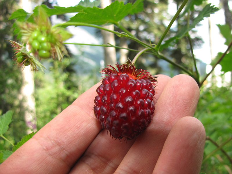
Shame about the taste. Here is another big raspberry near the trailhead.
Unlike the raspberries, the huckleberries were delicious! 
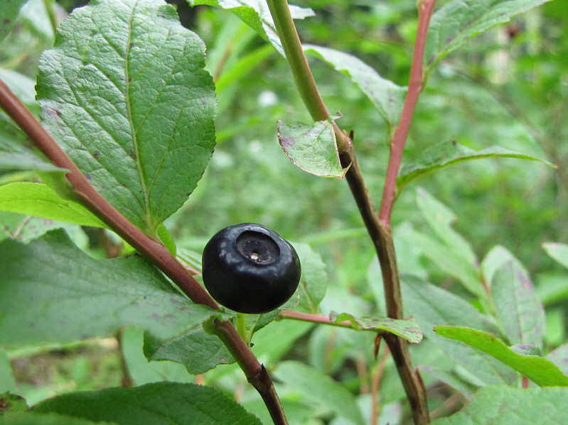
Huckleberries are everywhere along much of the route up Needle Peak.
Good place to relax on a hot day. 
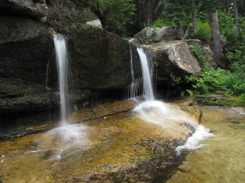
Boston Bar Creek flows over these twin cascades near the trailhead.
A very fun and easy outing! Total Distance:  10.1 kilometres
Round-Trip Time:  6 hours
Net Elevation Gain:  876 metres

GPX Data