BOU AVENUE
Tent Mountain

Given the rather dismal weather forecast for 18 May 2014, I was admittedly skeptical when Bob Spirko asked me to join him for an ascent of Tent Mountain located south of Crowsnest Pass on the border between Alberta and British Columbia (BC).  Besides the prospect of getting rained on, there was the very real possibility that our attempt might be stymied by deep snow especially when Bob suggested that we forego bringing snowshoes.  Tent Mountain was once the site of a mining operation, and much of the eastern slope has been forever altered because of extensive excavations which left behind a moonscape of bare terraces and water-filled pits.  Our original plan was to drive up the mine access road as far as we could before proceeding on foot through the mine site en route to the top of Tent Mountain.  As it turned out, we quickly discovered that the road was washed out by a raging torrent only a kilometre from the highway (it is worth noting that this would also affect the usual access for Sentry Mountain as described by Alan Kane).  Undaunted, we put Plan B into effect and drove around to the west (BC) side of Tent Mountain via the highway and Corbin Road.  There is an exploration road here that zigzags up the slope all the way to the summit ridge, and although much of this route is in forest with only occasional views, it provides an easy, no-nonsense way to hike to the top of Tent Mountain.  The only question left was whether or not the snow conditions higher up would allow us to venture that far.  The first few scattered snow patches that we encountered were not promising as the snow had turned isothermal and was mostly unsupportive.  Fortunately, the snow conditions were drastically better when we hit the main snow line about an hour into our hike, and we were able to complete our ascent with very minimal post-holing.  Not only did we end up having excellent snow conditions, but the weather cooperated nicely in remaining mostly sunny and relatively calm.  After claiming the true summit, we wandered over to the lower north summit before beginning our descent.  At Bob's suggestion and utilizing his brand new GPS unit, we took a few short cuts through the trees on our way down which saved us significant distance.  We returned to my car uneventfully with a round-trip time of about 5.5 hours.

Be sure to check out Bob's trip report here.
Easy hiking. 
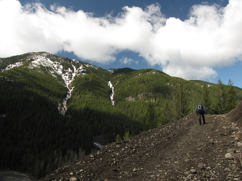
Bob hikes up the exploration road with Mount Taylor visible across the valley.
When does the post-holing begin? 
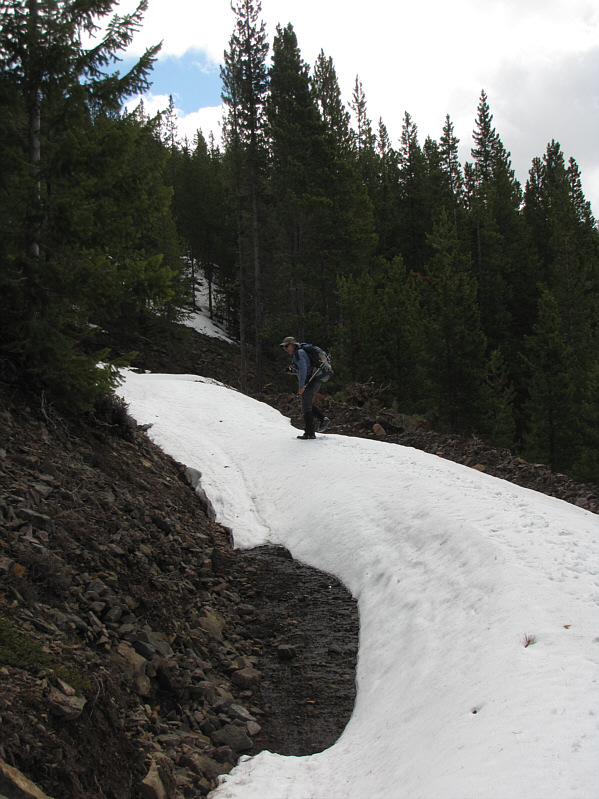
Bob begins to encounter more snow on the road.
What else is there to do when you're walking up a boring fire road?! 
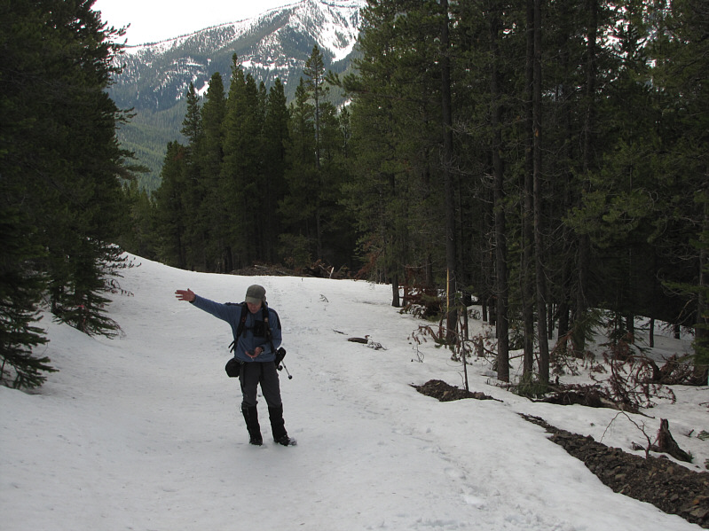
Bob checks his GPS and points the way to the summit.
Wish I had my skis! 
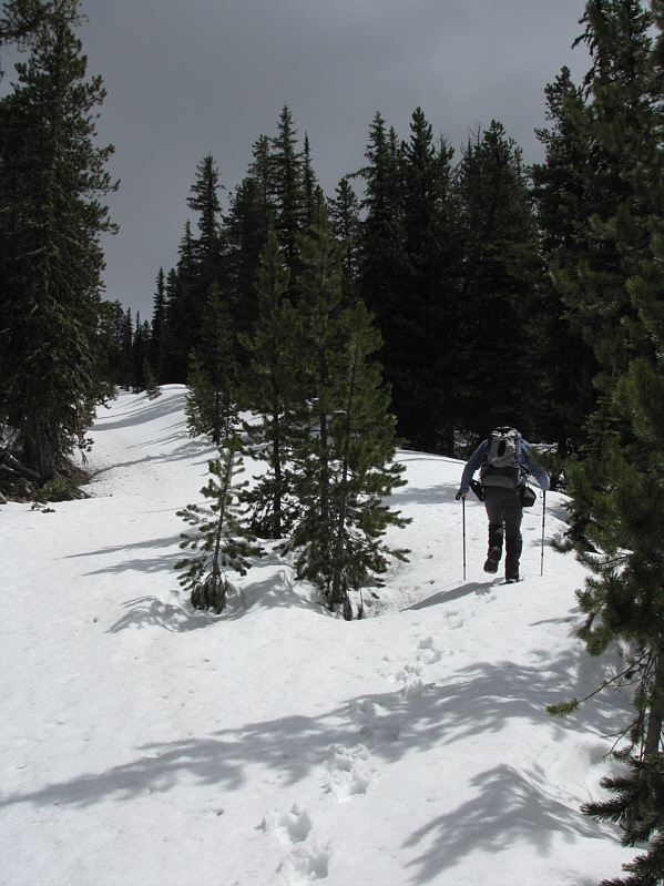
Bob climbs up a reclaimed section of the road.
I'm kinda glad now that we didn't approach from the north. 
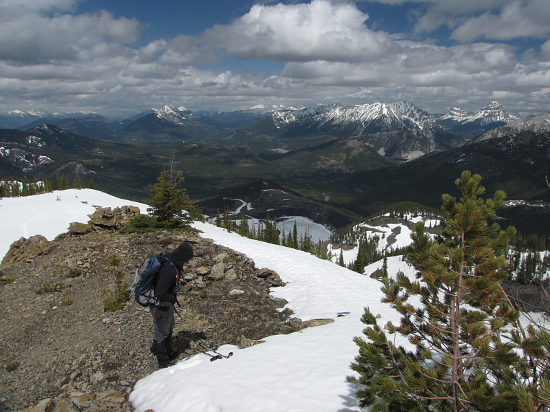
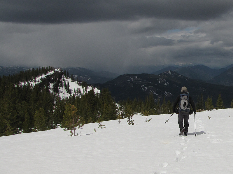
After a brief stop, Bob dons his pack again near a false summit.  The northern approach road for Tent Mountain is visible at centre.

Best view of the day.

The view to the east from the false summit includes Mount Ptolemy at left and Mount Darrah at distant right.

Bob is taking his usual 360-degree summit panorama shots. 
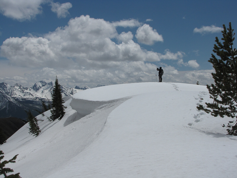
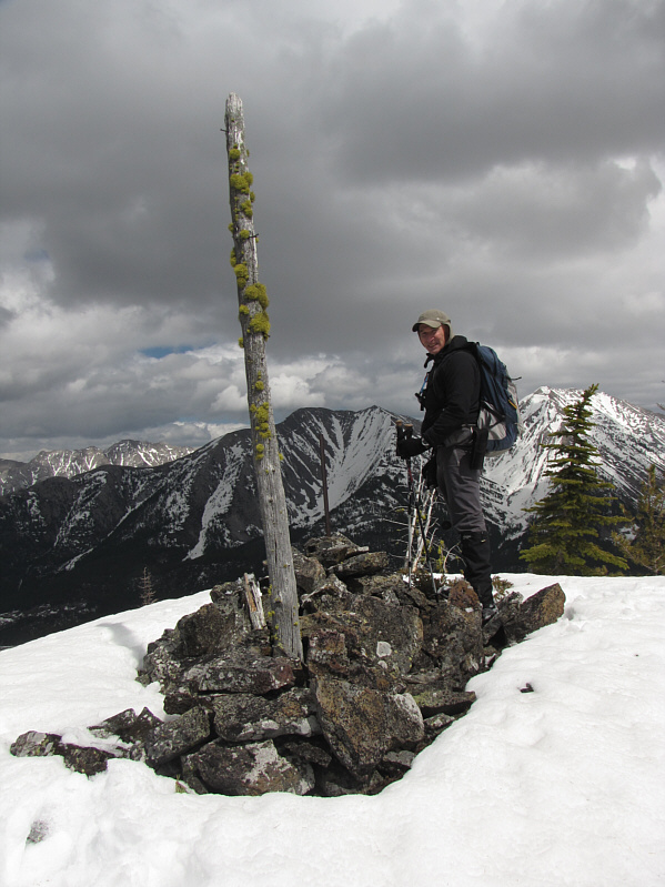
Bob takes photographs while standing on the true summit of Tent Mountain.

We really lucked out with the weather!

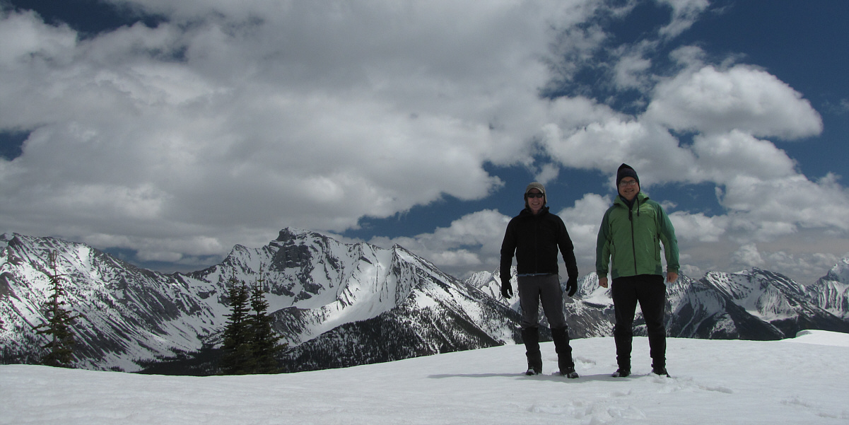
Bob and Sonny stand on the true summit of Tent Mountain (approximately 2210 metres).

Don't hear much about climbs of Seven Sisters Mountain... 
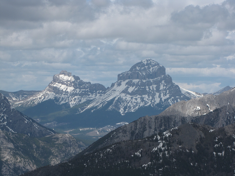
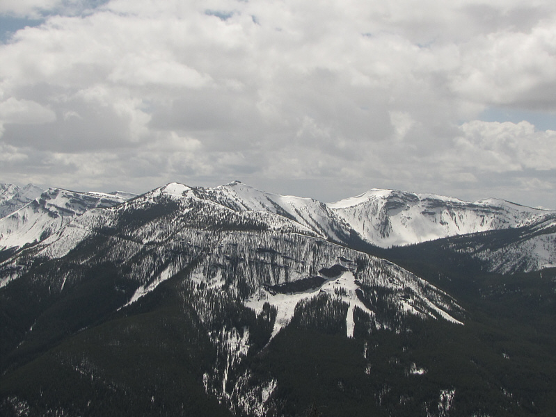
Seven Sisters Mountain and Crowsnest Mountain are familiar landmarks to the northeast.
One of my proudest accomplishments was to tag the summit of Mount Ptolemy. 
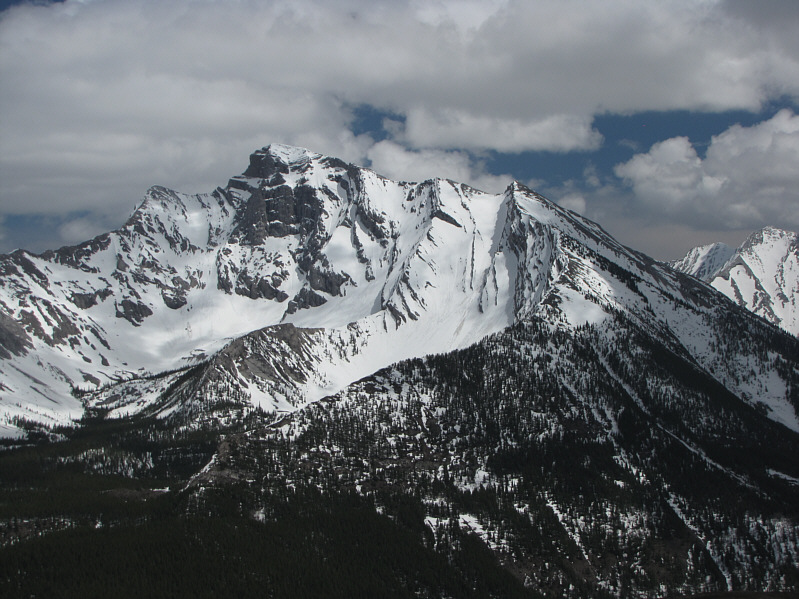
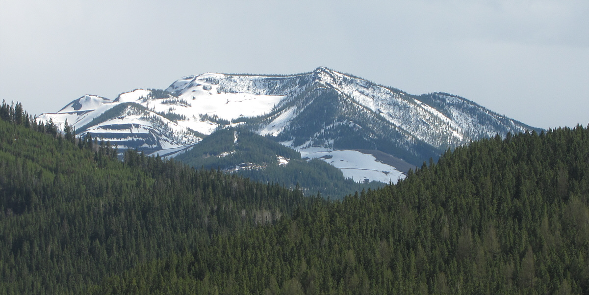
Mount Ptolemy is the crown jewel of the Crowsnest Pass area.

Maybe they should turn this whole place into a ski resort...

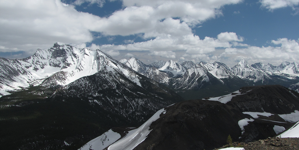
Impressive peaks line the horizon to the southeast.  In the foreground is the excavated southern portion of Tent Mountain.

Good scramble. To the north is Mount Erickson.
Maybe a ridgewalk traverse for the future? Michel Ridge sprawls to the southwest.
Looks like it's raining hard to the north... Bob heads for the lower north summit of Tent Mountain at left.
Watch out for cornices and a steep drop-off on the right. 
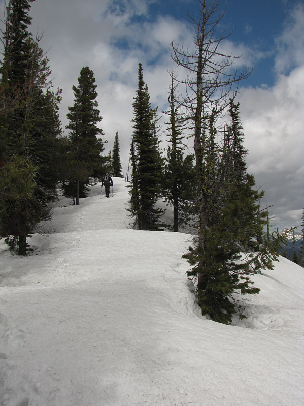
Bob climbs up the last bit of ridge before the north summit.
Looks like another doable hike in the near future. 
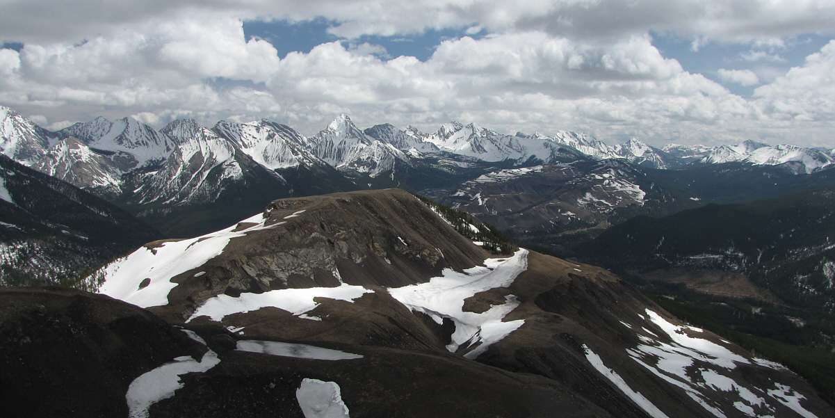
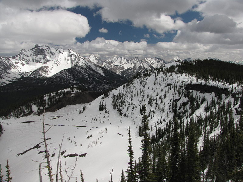
The north summit grants a more comprehensive view of Loop Ridge (centre).
That must be one giant swimming hole in the summer! 
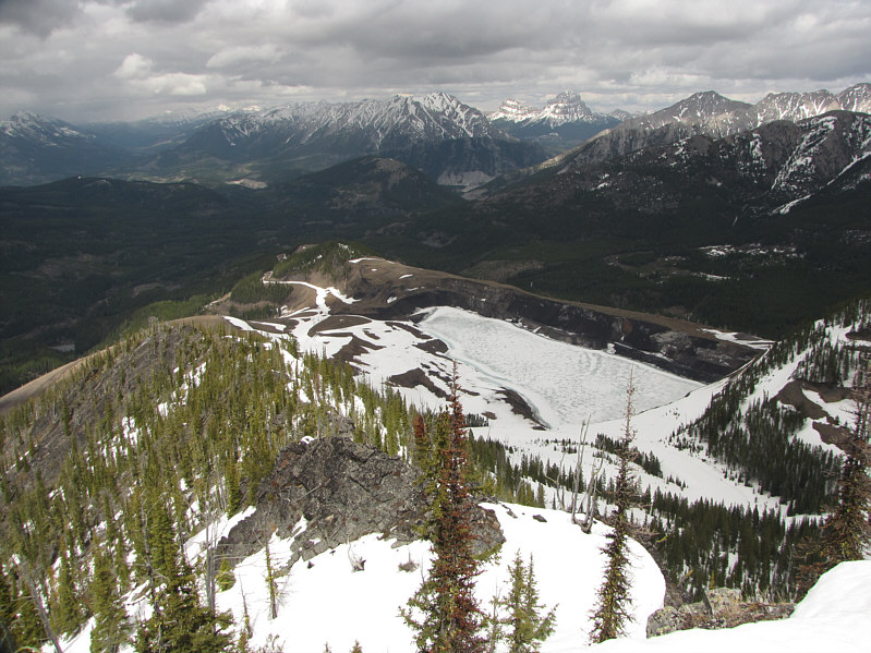
The largest of the water-filled mining pits is still frozen.
It was worth the extra effort to come here. Bob is enjoying the views from the north summit.
Looks like there could be some good skiing here! This is looking back at the true summit (right) from the north summit.
Good call, Bob! 
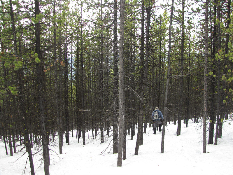
Bob takes a shortcut through the forest.
The real danger is the boredom of hiking up a fire road! 
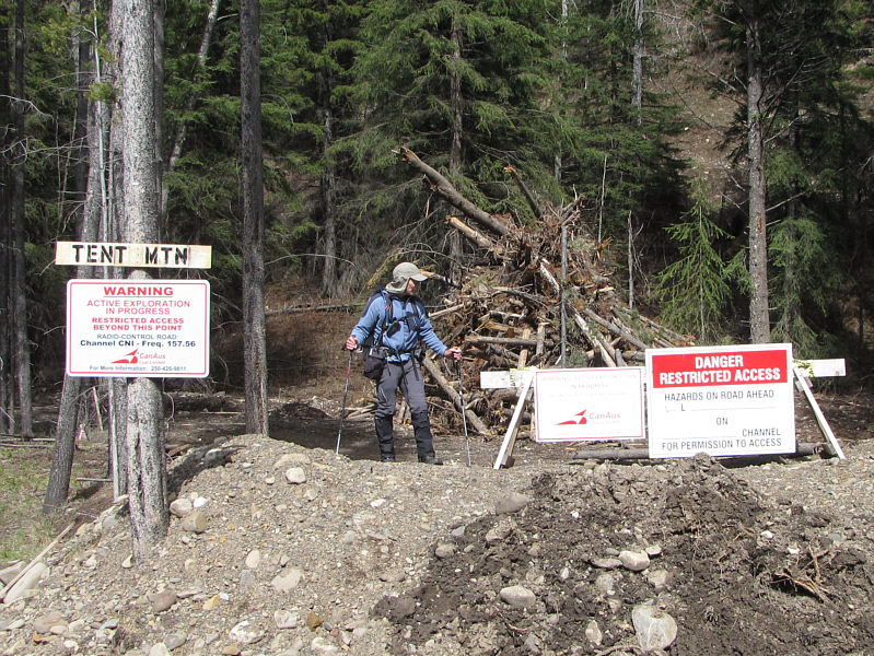
Bob passes by some warning signs at the entrance to the exploration road.

Still hard to believe that we made it up there without skis or snowshoes given the abundance of snow.

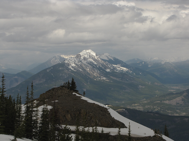
Here is a view of Tent Mountain from the Crowsnest Highway near Summit Lake.