BOU AVENUE
Big Southern Butte
Trying to avoid forest fire smoke and inclement weather, I found myself in Idaho again on 28 August 2015 to kick off an abbreviated summer vacation.  First on my agenda was a hike up Big Southern Butte, a large volcanic dome--one of the largest in the world--which sticks out like a sore thumb on the Snake River Plain.  I have wanted to climb Big Southern Butte ever since I laid eyes on it for the first time in 2009 from nearby Craters of the Moon National Monument.  Although it is possible to drive all the way up to the top of Big Southern Butte, I chose to ascend the East Drainage route as described in summitpost.org.  From nearby Atomic City (practically a ghost town with a population of less than 30), I drove south briefly before turning west onto Big Butte Road (sign).  This well-maintained road crosses over some train tracks and passes Cedar Butte before winding around the south side of Big Southern Butte.  Worried that the road was taking me further away from my starting point, I parked my car beside a small cinder cone about 2 kilometres short of the mouth of the East Drainage.  Had I just driven a little further, I would have found the dirt road that runs around the north side of Big Southern Butte and saved myself a few extra kilometres of walking.  Regardless, I had the bulk of the day ahead of me and was not overly worried about the extra distance.

By the time I started hiking, the temperature was already very warm, and thus, I elected to wear shorts instead of long pants.  This proved to be a mistake.  As I headed cross-country toward the East Drainage, I had to contend with a lot of knee-high vegetation mostly in the form of sagebrush and various grasses.  Although walking through this stuff was not particularly difficult, I picked up a lot of prickly burrs and grass seeds in my socks and boots which was very annoying and occasionally painful.  Wearing gaiters or long pants would have helped immensely.  After climbing over a barbed-wire fence, I stumbled upon the aforementioned dirt road but kept going cross-country until I joined a rough jeep track which branches off from the dirt road and disappears up the drainage.  I followed this jeep track briefly before leaving it to ascend a ridge to climber's right of the drainage.  There were no surprises as I followed this ridge almost all the way to the summit.  The only challenge was the oppressive heat from the sun, and I welcomed the shade of the few trees that are found higher up the ridge.

I stayed at the summit for about half an hour before retracing my steps back down.  Once I got off the ridge, I stopped for an extended break to clean out my socks and boots before resuming my hike out.  I subsequently stuck to the jeep track and dirt road for an easier albeit longer walk back to my car.  On the drive out, I slowly rolled through the "main drag" of Atomic City and wondered about the inhabitants of this somewhat creepy little village.  I did not see a single soul out and about.  With nothing compelling me to stick around, I headed for the town of Arco to gas up and grab dinner.  I would eventually spend the night sleeping in my car at a nearby rest area.
Surprised no one has yet scratched out the "e" on the sign! 
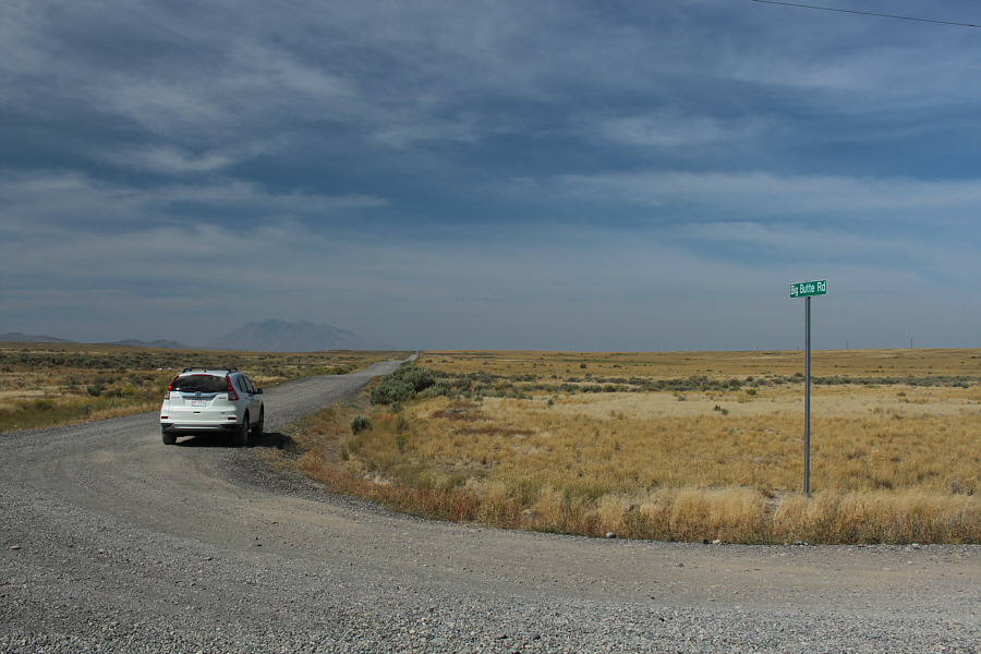
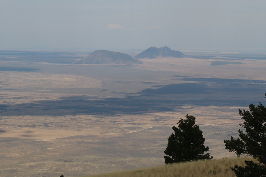
South of Atomic City, this gravel road leads to the Big Southern Butte which is visible in the hazy distance at left.
Look at the size of that thing... 
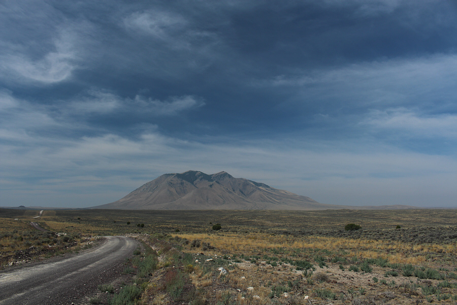
Closer in, Big Southern Butte begins to look a lot clearer.

 Of course, you can drive a lot closer to the start of the hike than this!

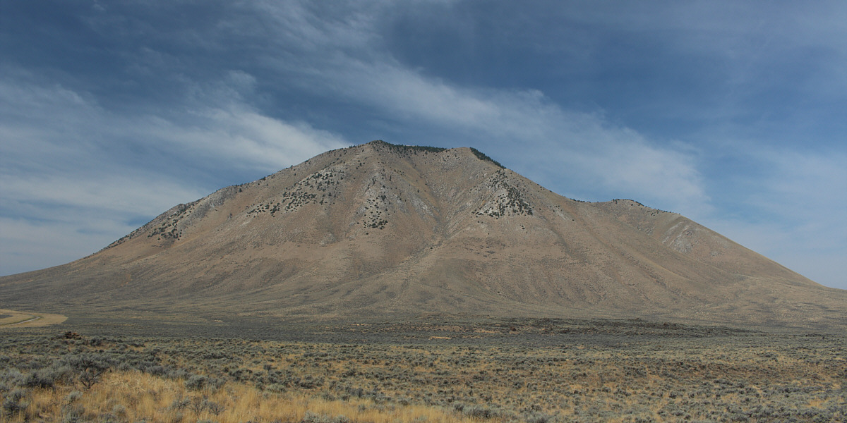
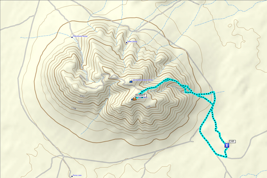
Sonny's chosen route goes up the right skyline ridge.


Beats looking at sagebrush! 
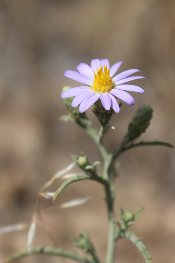
Asters such as this one seem to thrive on the Snake River Plain despite the hot and dry climate.
Good place to lock up your bike here! 
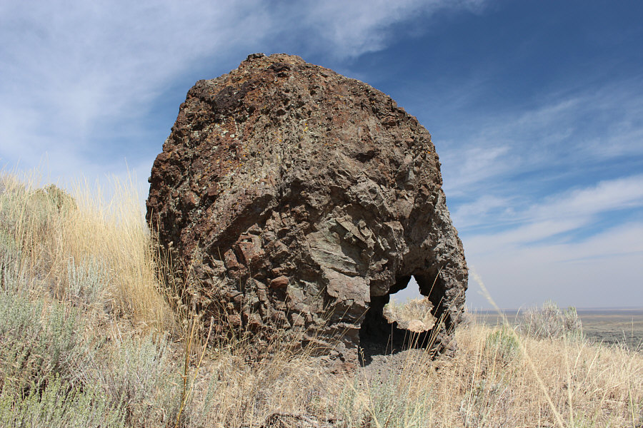
This outcrop of lava rock appears to have a hole in it.
I could have driven all the way to this rock and saved myself a lot of hiking! 
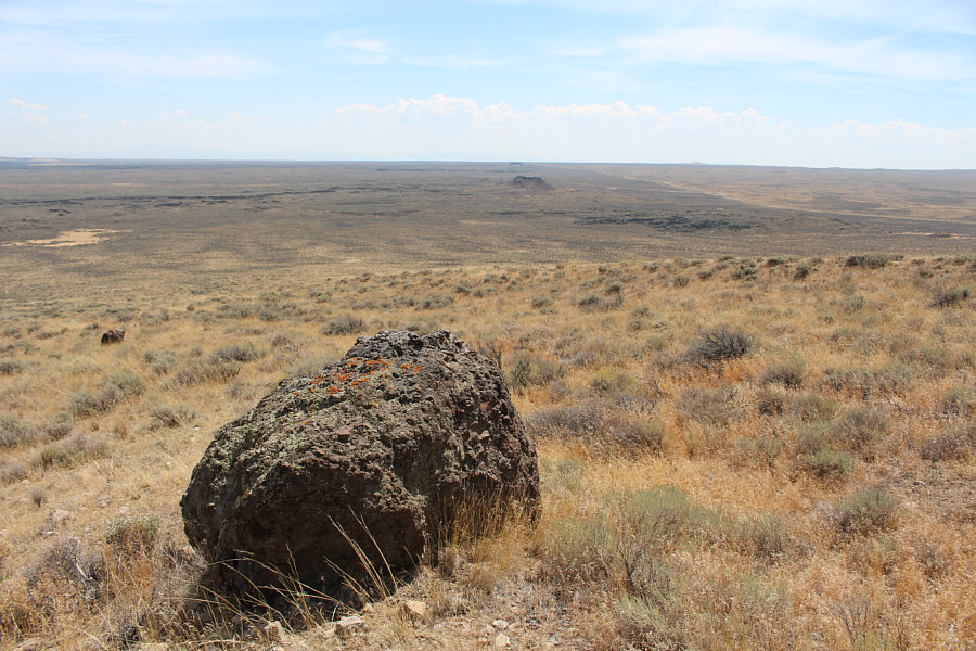
Sonny started his hike from the cinder cone in the distance at centre.
Staying in the drainage apparently leads to some nasty bushwhacking. 
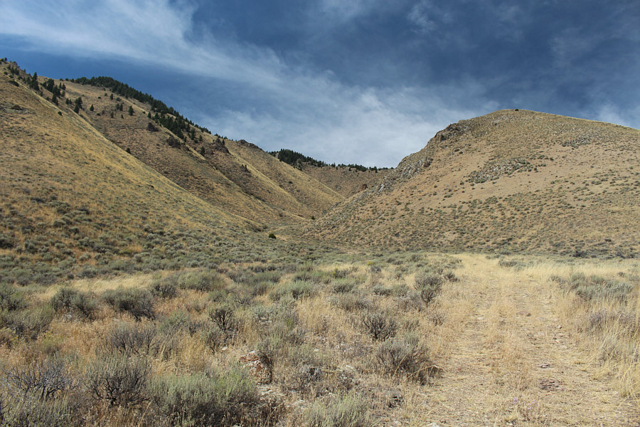
The jeep track eventually peters out in the drainage.  The slope on the right leads to the ridge of ascent.
It's steeper than it looks, though! 
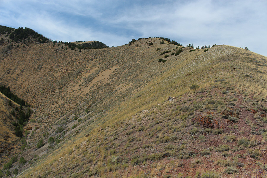
The ridge is generally easy to follow.
Thanks to foreshortening, the top is still further away than it seems! 
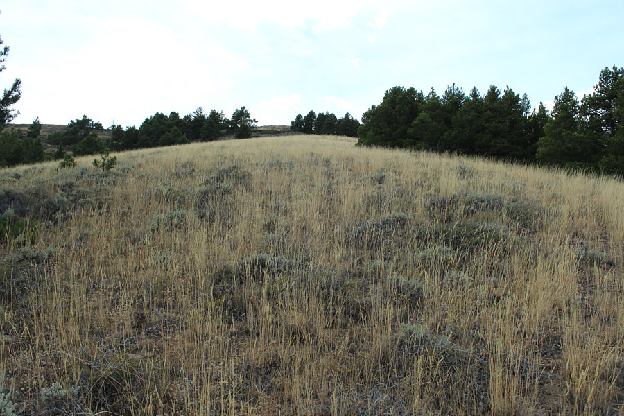
The grassy ridge broadens near the top.
Yeah, I could have driven all the way up here too! 
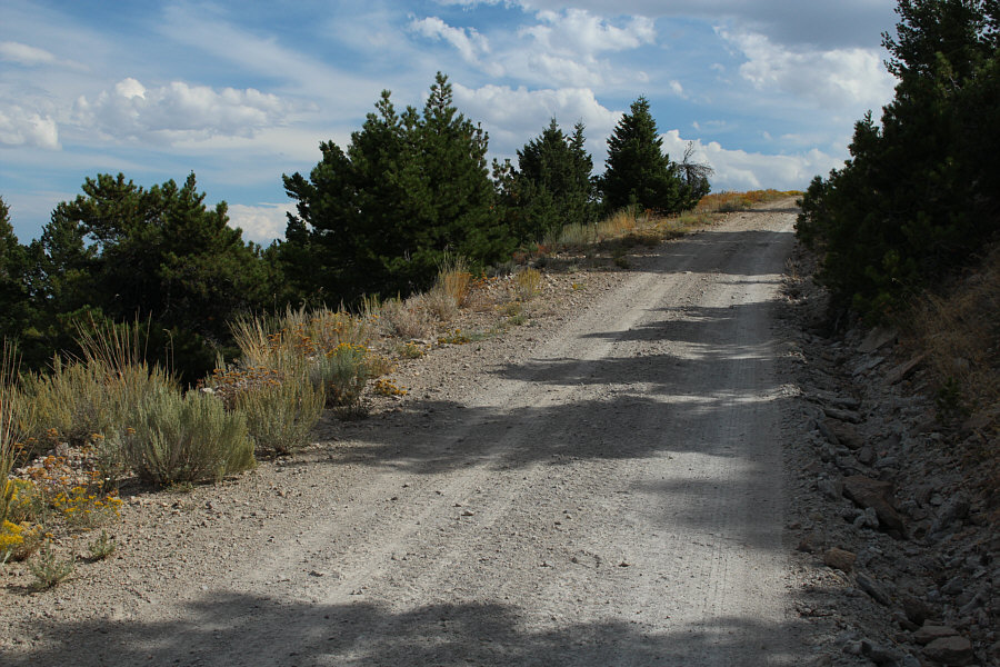
The road to the summit appears to be in excellent shape.
It might have been cool to drive on one of the largest volcanic domes on earth! 
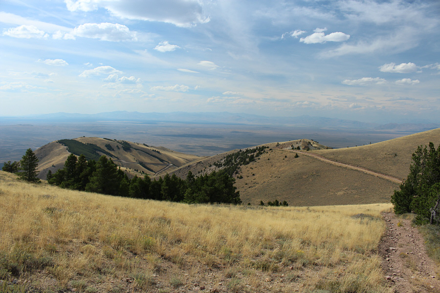
The road can be seen winding down the western side of Big Southern Butte.
Yep, I got that farmer's tan going! Sonny stands near the summit of Big Southern Butte (2306 metres).
It's about 13 metres shorter according to USGS topo maps. This bump to the north appears to be nearly as high as the main summit.
Looks like a really lonely road. The visible road heads southeast toward the village of Springfield.
I will probably pay Middle Butte a visit the next time I am down this way. Middle Butte and East Butte can be seen to the east over 25 kilometres away.
So there was an outhouse up here! Here is a look at the summit area.  It is worth comparing to a photo taken in 2002 by Dan Robbins (idahosummits.com).
How did I end up further away from the Big Southern Butte than when I started?? This is the road leading to the cinder cone at right where Sonny's car is parked.
Keep your shotgun handy just in case... 
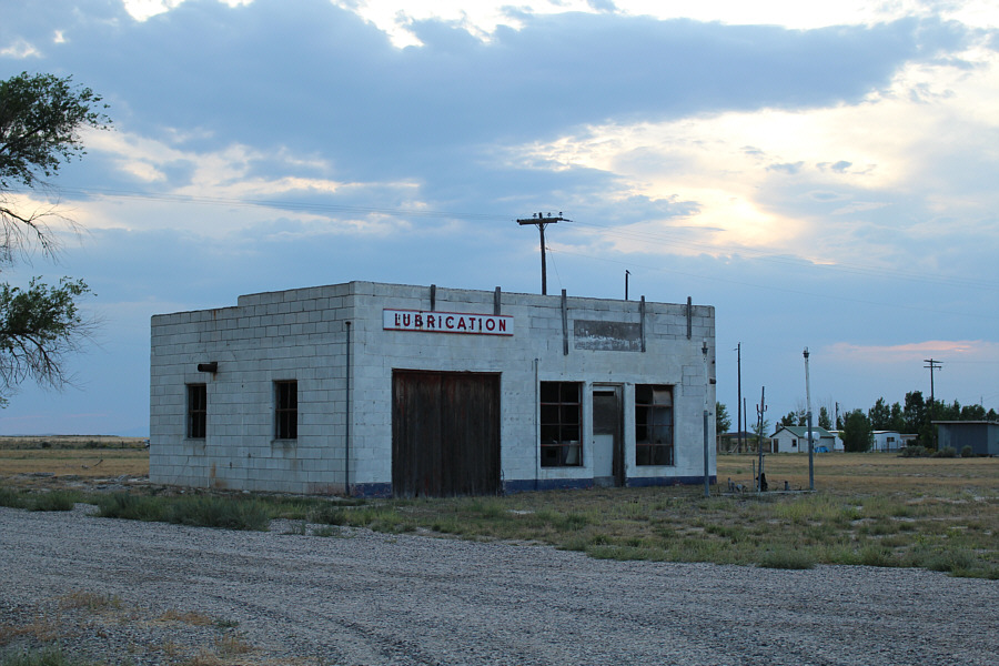
This abandoned service station says a lot about Atomic City.
Mutant residents of Atomic City? 
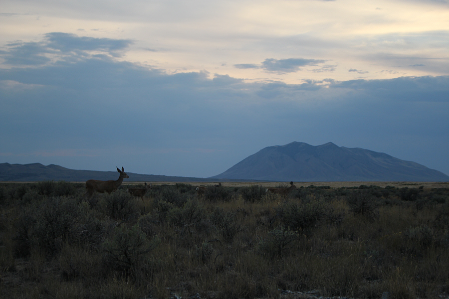
A family of deer wander through the sagebrush near Atomic City.
Might be worth a return visit... Total Distance:  12.5 kilometres
Round-Trip Time:  6 hours 46 minutes
Net Elevation Gain:  730 metres

GPX Data