BOU AVENUE
Cell Phone Ridge

Bob Spirko has a knack for finding obscure but interesting hiking objectives, and on 28 February 2015, he and I headed to the south end of Alberta's Kananaskis Country to climb an unnamed ridge just north of Timber Creek.  Starting from the highway near the bridge over Willow Creek. we hiked southward along a snow-covered road which ran straight for about a kilometre.  A recent fresh dump of snow meant that we had to break trail through several inches of powder, but we managed well enough with just our winter boots.  Bob had thoroughly researched the approach and plotted waypoints in his GPS which simplified route-finding.  We essentially circumvented an intervening ridge, which is also unnamed, and climbed up the north ridge of our objective.  Difficulties are few if not non-existent, and we enjoyed a trouble-free ascent.

On our way down from the high point of the ridge, we encountered a couple of ATV enthusiasts who had driven up using a longer but gentler approach via Willow Creek and Timber Creek.  During a lengthy conversation with the two men, they casually mentioned that they sometimes called the ridge we were on "Cell Phone Ridge" since there was decent cellular network coverage there.  Indeed, Bob had been successful in sending and receiving text messages from the high point, and I liked the contemporary nature of the name.  After leaving behind the ATV enthusiasts, Bob and I retraced our footprints down the north ridge.  We then climbed directly over the aforementioned intervening ridge before eventually regaining the snow-covered road leading back to the highway.

Cell Phone Ridge is not likely to attract a lot of visitors; there are loftier and more scenic hikes in the vicinity.  However, the real attraction on this day was the wonderful winter scenery which was definitely something worth texting about.

Be sure to check out Bob's trip report.
Wish I had cross-country skis here! 
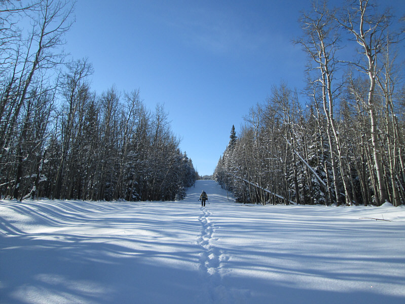
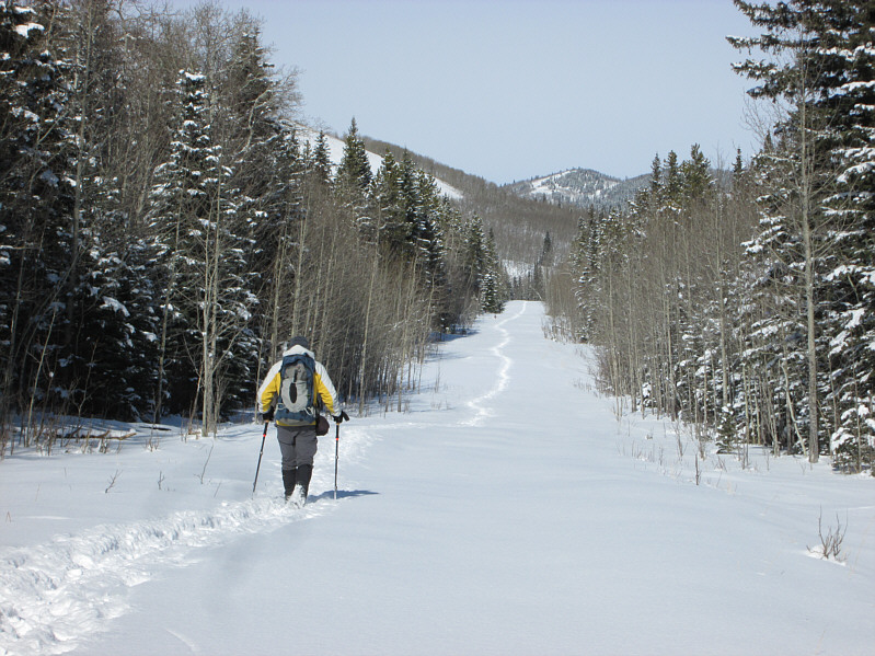
Bob hikes straight up the middle of a snow-covered road.
What happened to our nice road?? 
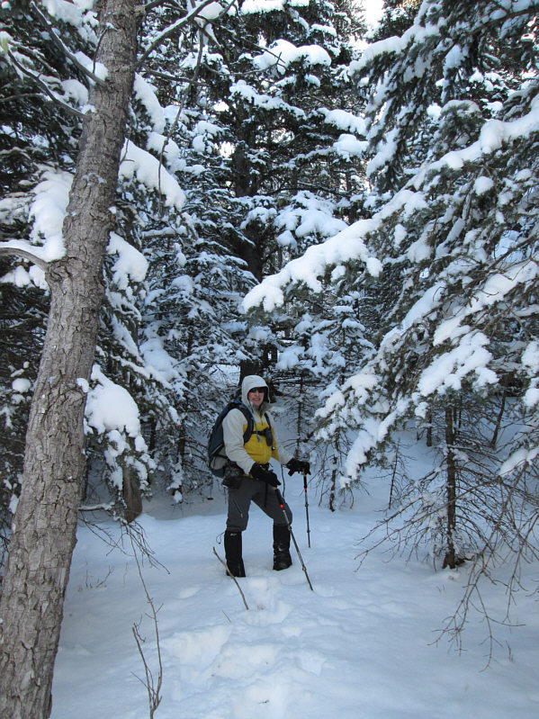
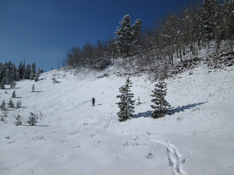
Bob dons his hood to keep snow off his head as he bushwhacks up a forested slope.
Hmmm...another forested summit? 
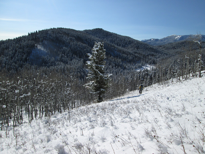
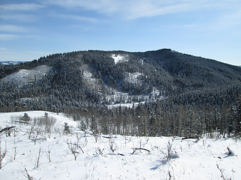
Bob descends to the bottom of the valley in order to access Cell Phone Ridge (centre).
Kinda cool! 
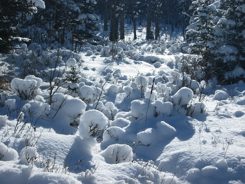
Snow has interestingly balled up on some low bushes.
Snow makes even the surrounding hills look interesting. 
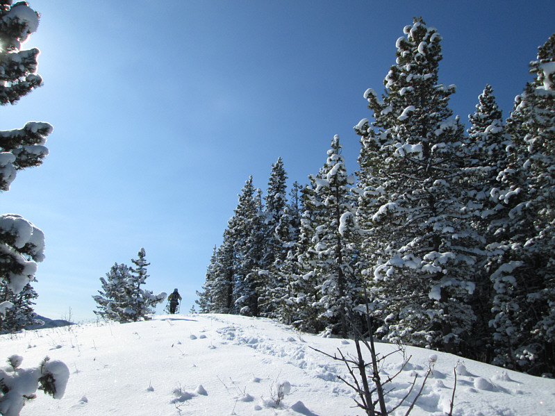
Bob breaks out of the trees on Cell Phone Ridge.
It's a marshmallow world in the winter... Here are some more "snowballed" bushes.
I initially thought this was the high point of the ridge. Bob arrives at another clearing.
Anticipating a dramatic finish... Bob hikes across a shallow draw.
Not quite a 360-degree view, but it beats Mount Dyson! 
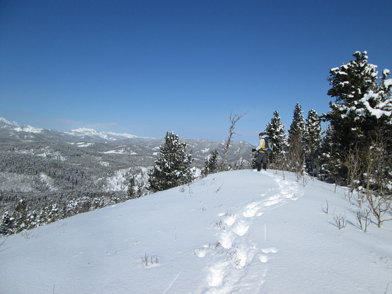
Bob reaches the top of Cell Phone Ridge.
Another one for the future guidebook, "Obscure Summits of the Canadian Rockies"! 
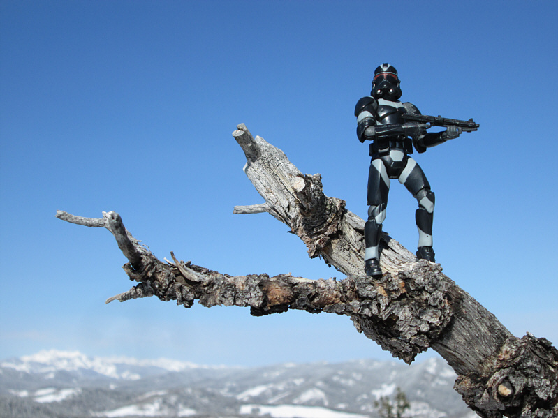
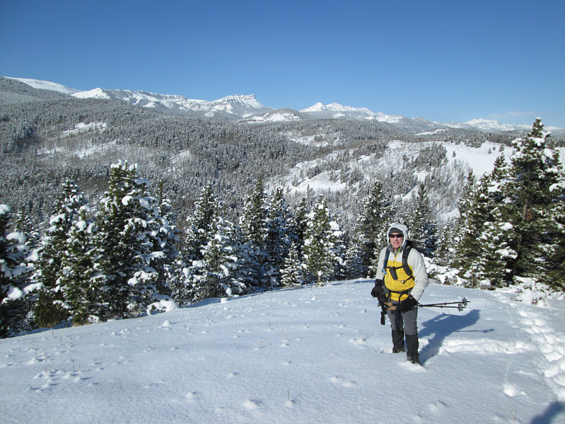
Bob and Sonny stand on the 1694-metre high point of Cell Phone Ridge.
Still don't know how I missed Hornecker when I hiked up Windy Peak years ago! 
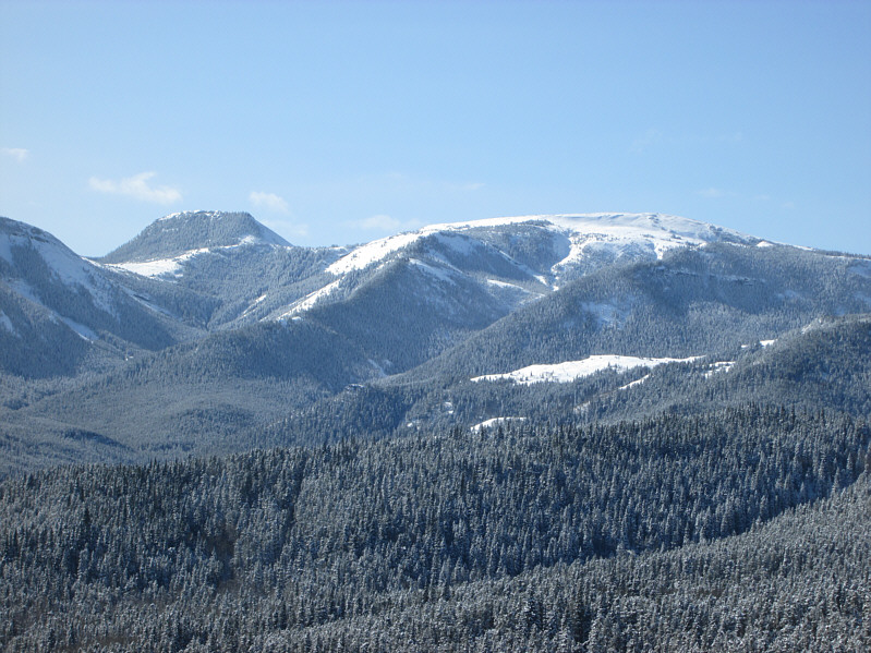
Mount Hornecker and Windy Peak are visible to the southwest.
Sentinel Peak looks really striking from this perspective. 
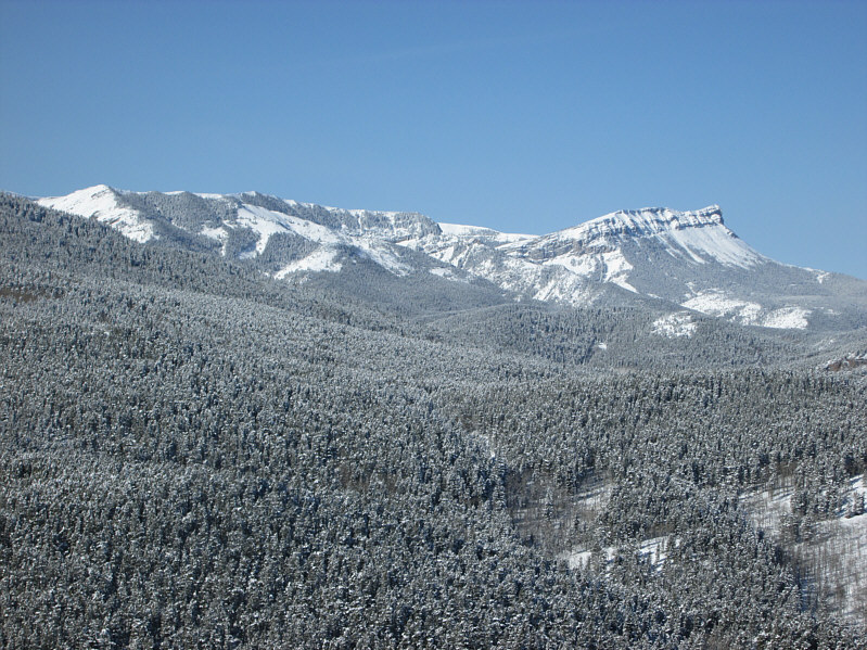
Further west are Iron Lakes Ridge (left) and Sentinel Peak.
One of the few ascents that I have not published yet on my website. 
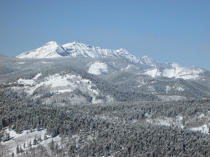
Mount Burke stretches away to the northwest.
The owner of the ATV in the foreground (with mounted rifle) did not want his photo taken. I wonder why... 
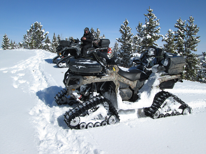
These ATVs have been modified for travel on snow.
Not likely to win "sexiest ridge" award! 
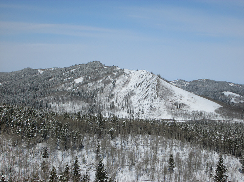
This is looking back at Cell Phone Ridge from an unnamed ridge to the north.
Meaning, you can never rest easy when you're at the top! 
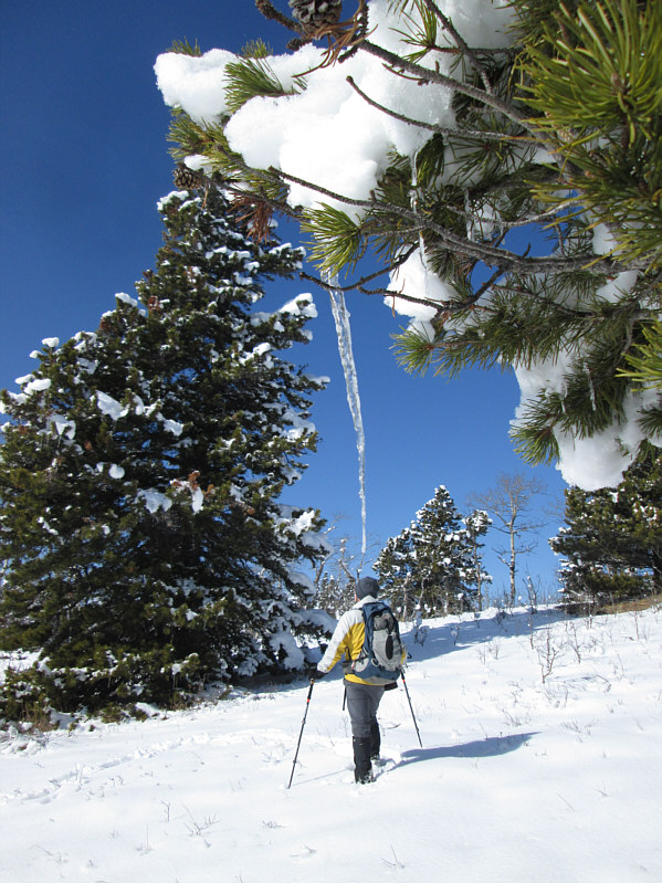
An icicle hangs over Bob like the Sword of Damocles.
Another enjoyable (and unpublished) hike for me from eons ago. A small clearing on the north side of the unnamed ridge grants this unobstructed view of Indian Graves Ridge.
Death Star trench run?? Bob hikes out along the snow-covered road.
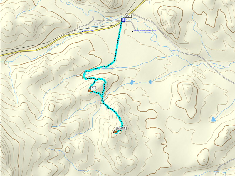
Now you know where to go if you need cel phone reception! Total Distance:  8.7 kilometres
Round-Trip Time:  4 hours 30 minutes
Net Elevation Gain:  242 metres

GPX Data