BOU AVENUE
Association Hill
On 3 April 2016, I joined Zosia Zgolak for a
hike up Association Hill which is located north of Mount Yamnuska near
Alberta's Bow Valley Provincial Park. This trip was actually
someone else's idea, but in the aftermath of all the planning, that
person eventually bailed leaving just Zosia and me. Although the
hike is described in Gillean Daffern's Kananaskis Country Trail Guide,
we took most of our inspiration from Bob Spirko's trip
report. Even then, we did not quite follow his route exactly.
From the Mount Yamnuska parking lot, we
wandered east to an obvious telephone line and followed it straight
uphill. While the telephone line eventually turns eastward, we kept
to a cut-line going in the same direction uphill until it petered out.
We eventually veered eastward ourselves in hopes of rounding the shoulder
of Yamnuska Ridge without having to actually climb over its crest.
Travel was initially easy on the south-facing slopes of the ridge, but we
encountered more bush as we turned northward. After some moderate
bushwhacking, we stumbled onto a road which appeared to be headed in the
right direction. We followed this road briefly, but after checking
my GPS, I realized that the road would not lead us down to Old Fort
Creek, at least not directly. We left the road and bushwhacked
downhill for a short stretch until we hit another road parallel to the
first one but lower down. This second road led us down to Old Fort
Creek, and we were soon hiking along the creek bed toward our objective.
Unbeknownst to us at the time, a good trail leaves the creek and climbs
up to Association Pass which separates Association Hill from its namesake
peak. Instead, we took our cue from Spirko's route and left the
creek bed when it seemed feasible to climb up the lightly forested
hillside. We ended up hiking a more roundabout route to the summit
than Spirko, but travel was generally easy anyway.
Zosia and I enjoyed a very pleasant
50-minute break at the top before commencing our descent. After
weaving in and out of trees for a bit going toward Association Pass, we
broke out onto a big grassy slope and made a beeline for the
aforementioned trail which we had spotted from the summit. This
trail took us all the way down to Old Fort Creek without fuss, but I was
a bit dismayed to learn that we had earlier left the creek bed only mere
metres short of the trail. We subsequently retraced our steps along
the creek bed and back up the second road. We actually climbed most
of the way over the end of Yamnuska Ridge by staying on this road, and
when the road turned east, we left it to hike cross-country toward a
large unnamed lake just north of Highway 1A. After crossing a wet,
marshy area, we stumbled onto yet another road on the north side of the lake
and followed this road all the way back to the telephone line we had
started up earlier in the day. The entire return trip turned out to
be a lot less painful than I was expecting which should make future trips
to this area more enticing.
Best of all, I was privileged to
share this 'accidental' hike with a most engaging companion in Zosia, and
even a few uninvited ticks were not enough to ruin our wonderful day in
the hills.
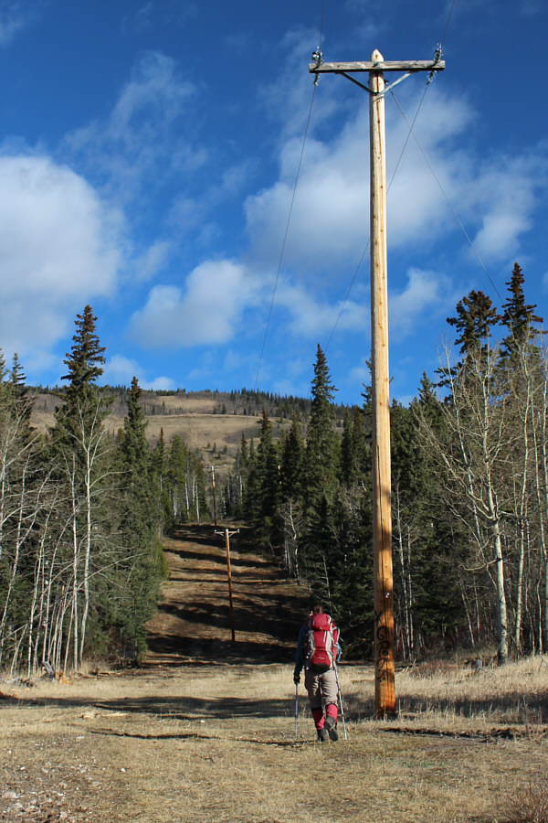 |
Zosia follows a series of telephone
poles up the hill. |
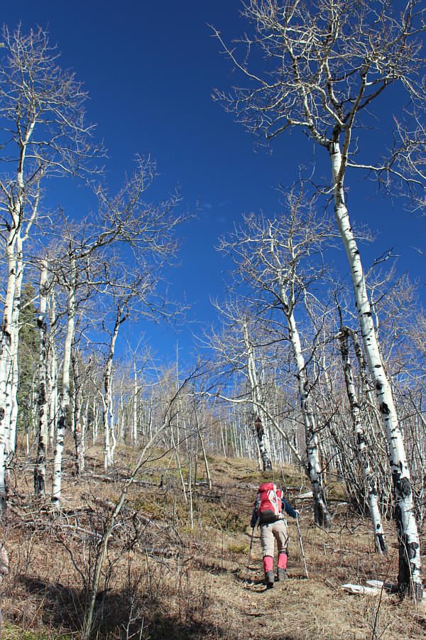 |
The cut-line peters out in a grove of aspen trees. |
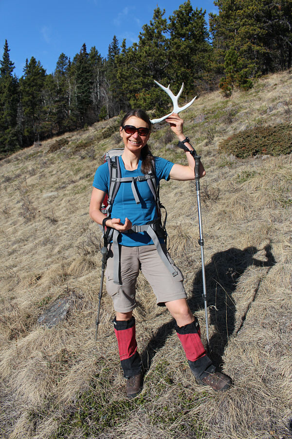 |
Zosia finds a nice deer antler. |
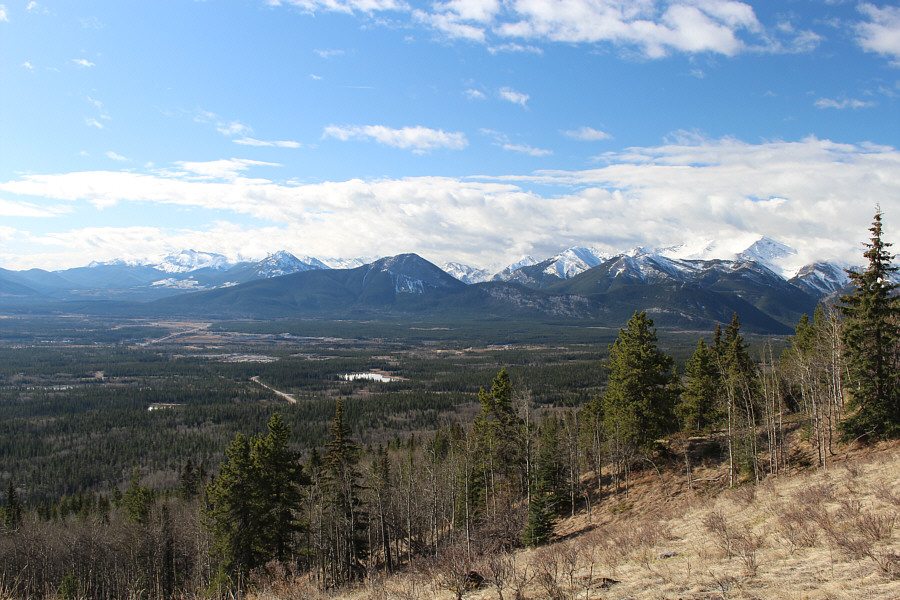 |
Although it was cloudy earlier, the
skies begin to clear over the peaks to the south. |
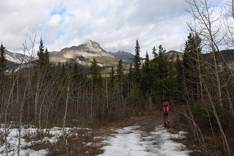 |
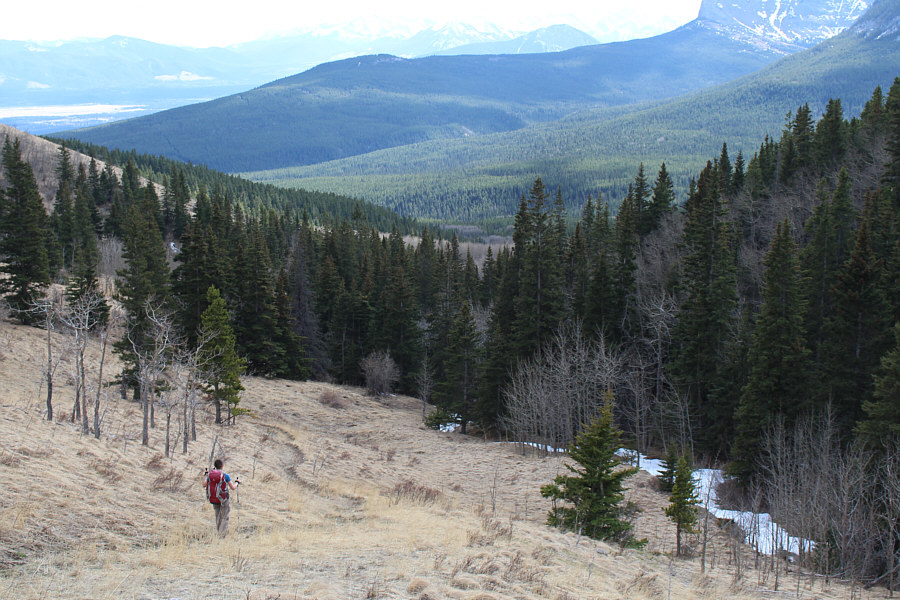
Zosia heads down a road leading to Old
Fort Creek. Association Peak, End Mountain and Association Hill
are all visible in the distance. |
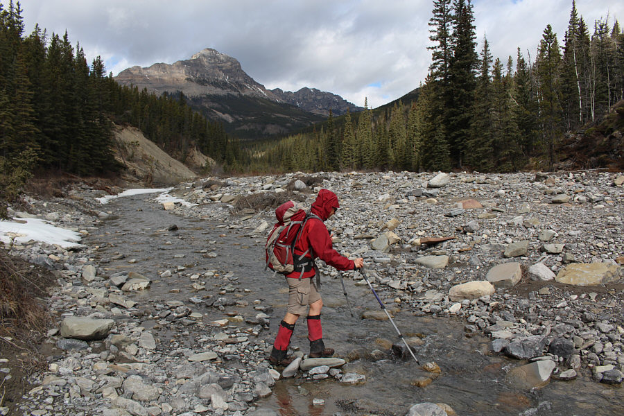 |
Old Fort Creek is very easy to ford. |
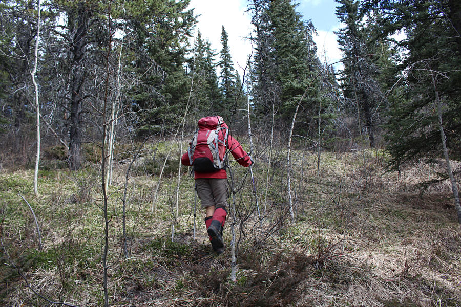 |
Leaving the creek bed, Zosia bushwhacks up the slope. |
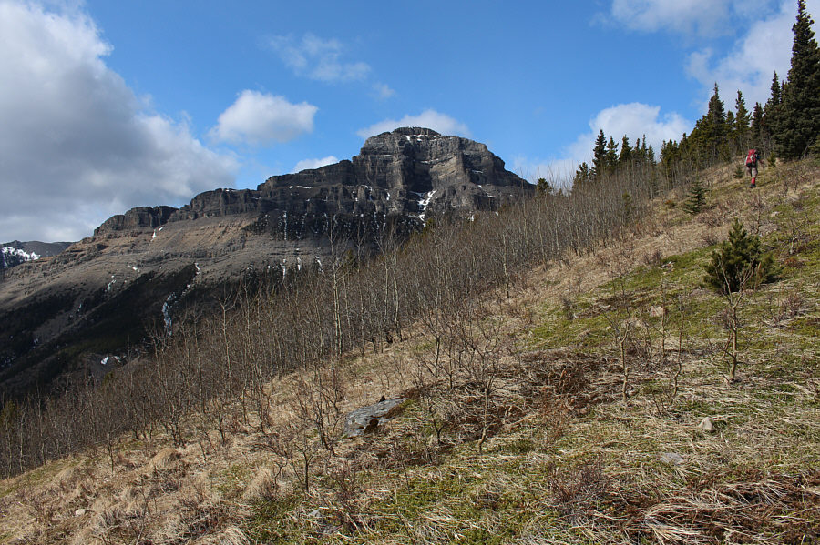
A clearing grants this unobstructed view of Mount
Yamnuska's north face.
 |
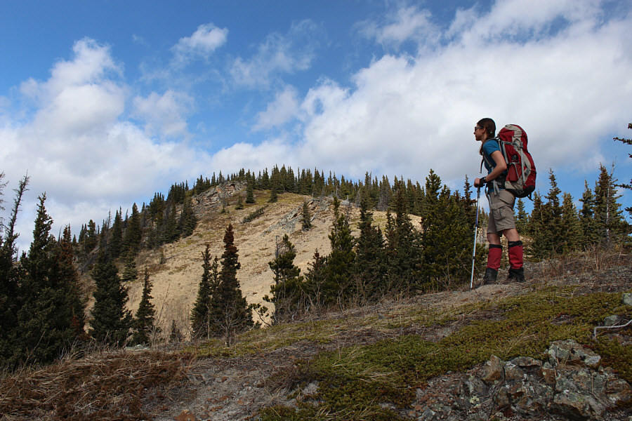
The ridge begins to open up a little
near the top. Association Peak looms behind the trees. |
 |
Zosia pauses just before the final
rise to the top of Association Hill. |
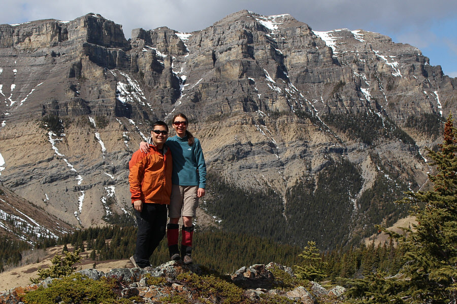 |
Sonny and Zosia stand near the
1930-metre summit of Association Hill with End Mountain in the
background. |
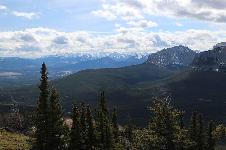 |
The view to the south includes Mount
Yamnuska (right). |
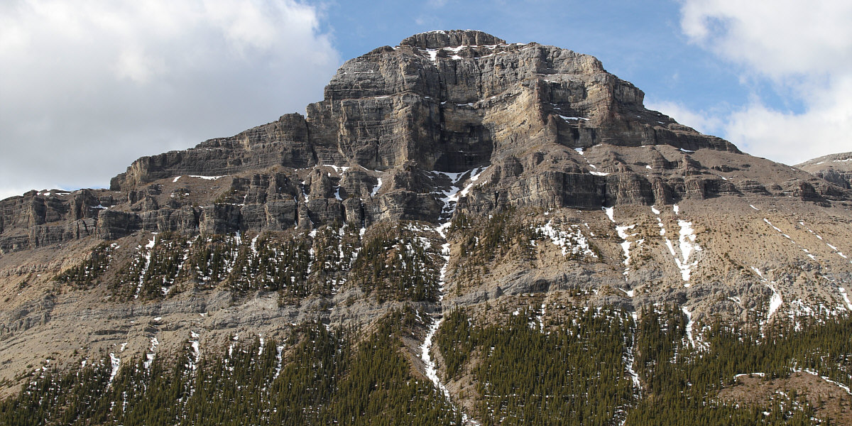
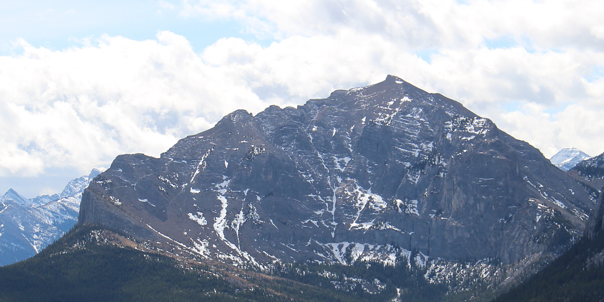
The east face of Association Peak dominates the view
to the west.
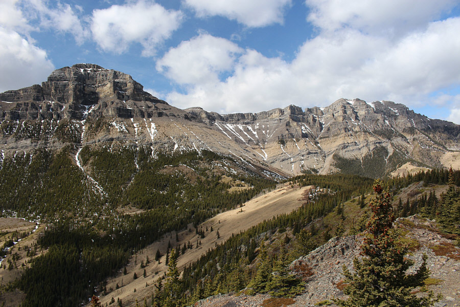 |
Here is a more comprehensive view of
Association Peak and End Mountain. |
 |
Zosia follows a good trail which leads
all the way down to Old Fort Creek. |
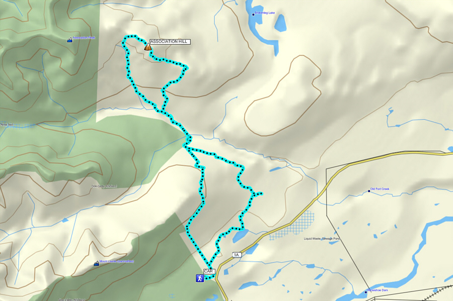 |
Total
Distance: 20.2 kilometres
Round-Trip Time: 8 hours 26 minutes
Total Elevation Gain: 943 metres |
