BOU AVENUE
Hollyburn Mountain
On 31 December 2016, Shaun Luong, Zosia
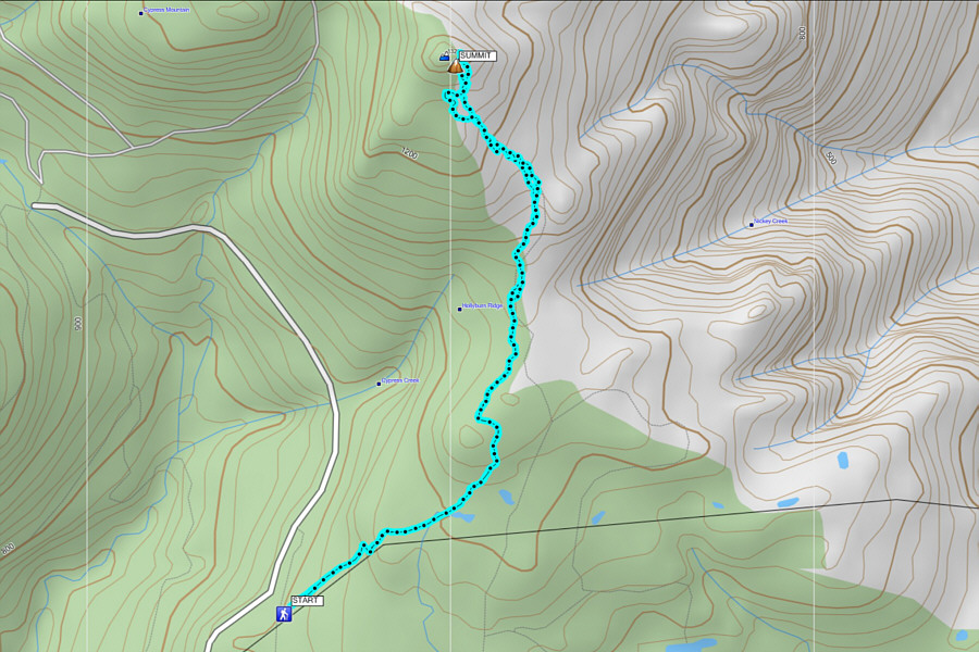
Zgolak and I climbed up Hollyburn Mountain in the North Shore Mountains
near Vancouver, British Columbia. We were originally planning on a
multi-day ski tour, but with most backcountry huts full during the
holiday long weekend, we settled for doing just day trips from the city.
Since snow was in the forecast for New Year's Eve, Hollyburn Mountain fit
the bill as a straightforward ascent without any route-finding required.
I had already hiked up the mountain in
2002,
but a return trip on skis would be novel for me.
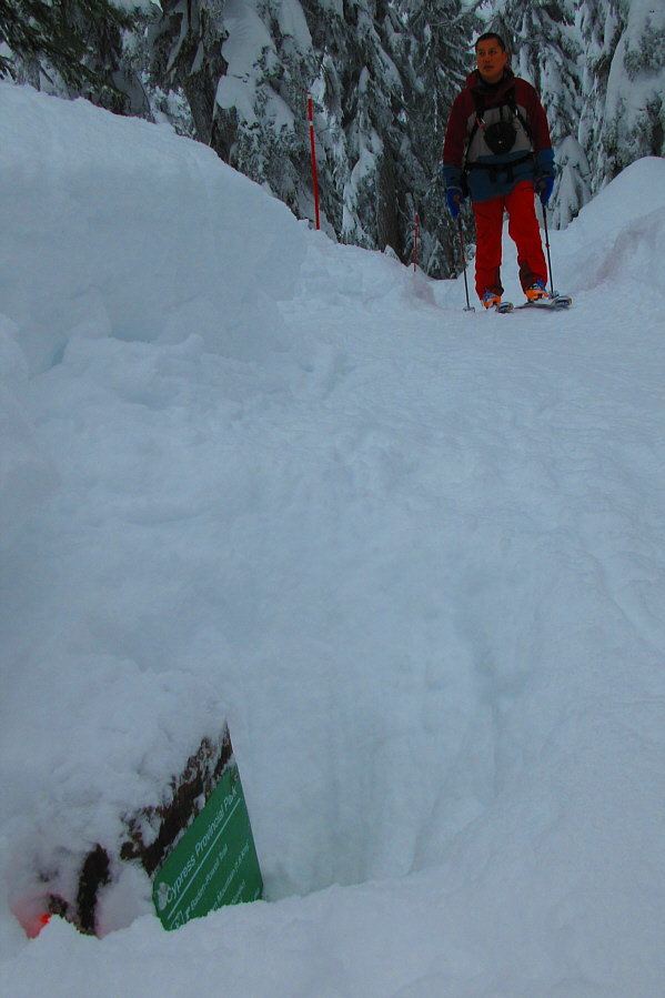
Our day got off to an inauspicious start when we inadvertently entered
the trails of the Cypress Mountain Nordic ski area. While Shaun and
Zosia were ahead of me, a staff member stopped me and asked if I had
purchased a trail ticket. After learning that I was heading for
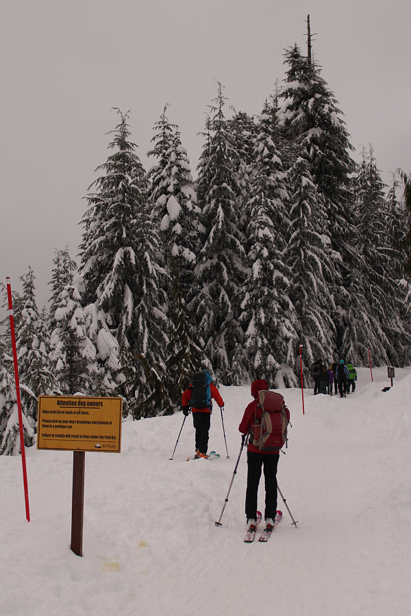
Hollyburn Mountain, he directed me to the snowshoers' access just outside
the ski area boundary. Shaun and Zosia, on the other hand, were
stopped by another trail Nazi staff member who insisted
that they had to purchase a trail ticket even after they explained to her
that they were going into the backcountry to climb Hollyburn Mountain.
This staff member was either working on commission or highly confused,
but eventually Shaun and Zosia sorted things out with her and were
directed, like I was, to the snowshoers' access.
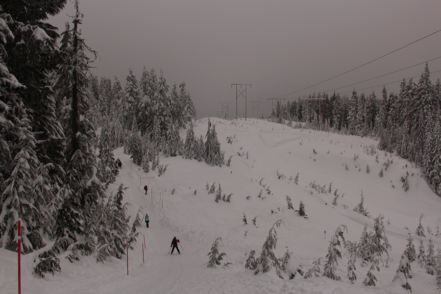
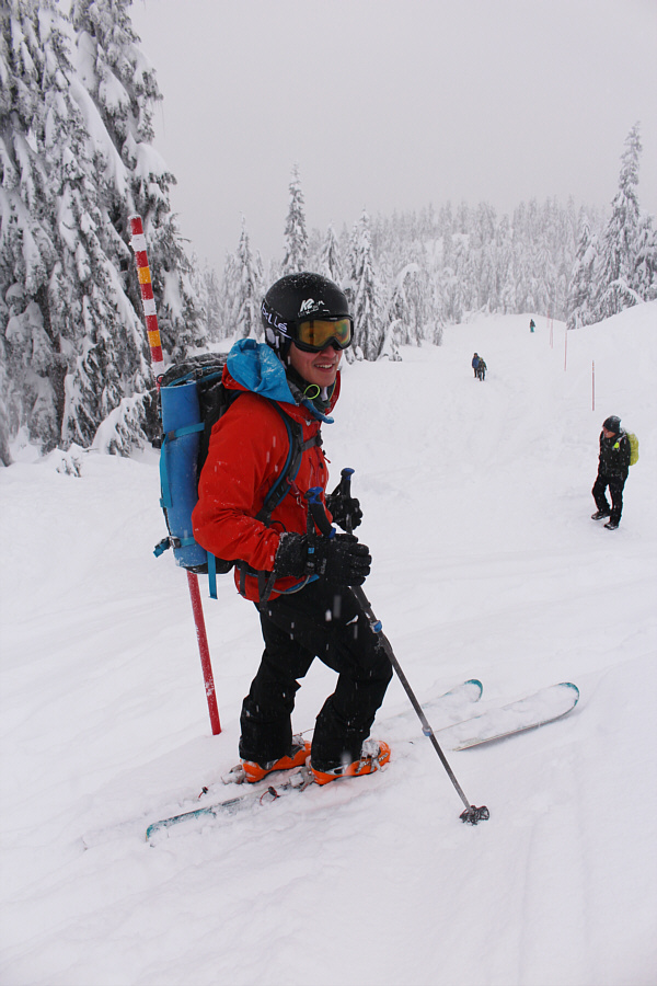
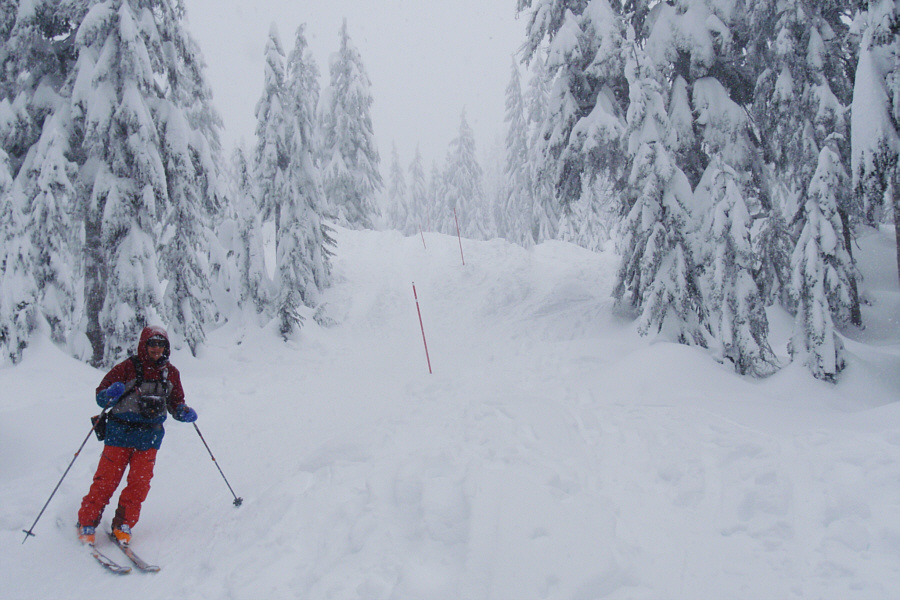
The snowshoers' trail is wanded all the way to the top of Hollyburn
Mountain, and it is virtually impossible to get lost here. While
most of the trail is easy to climb, some sections near the top are quite
steep and challenging to skin up. Although it was the Saturday of a
long weekend, I was still startled to see so many people, mostly
snowshoers, slithering up and down the trail. When I previously
hiked up Hollyburn Mountain on a rainy Wednesday in October of 2002, I
did not see a single soul all day. This time, it was impossible to
find solitude anywhere along the trail. Many snowshoers appeared
ill-equipped for steep, winter hiking, and as a result, there was a
circus-like atmosphere to the proceedings. The unpreparedness of
people venturing into the North Shore Mountains is well-documented, and
it is not surprising that people disappear or die there with regularity.
In fact, two snowshoers went missing not far from Hollyburn Mountain only
six days earlier. The search for them was halted the day before our
ski ascent, and they are now presumed dead.
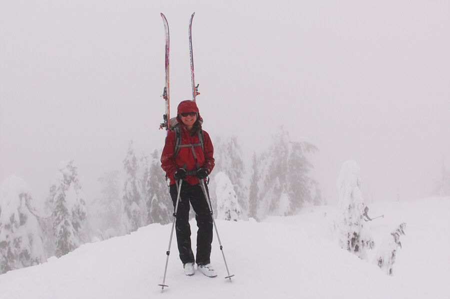
After tagging the summit of Hollyburn
Mountain, Shaun, Zosia and I removed our skins and essentially skied back
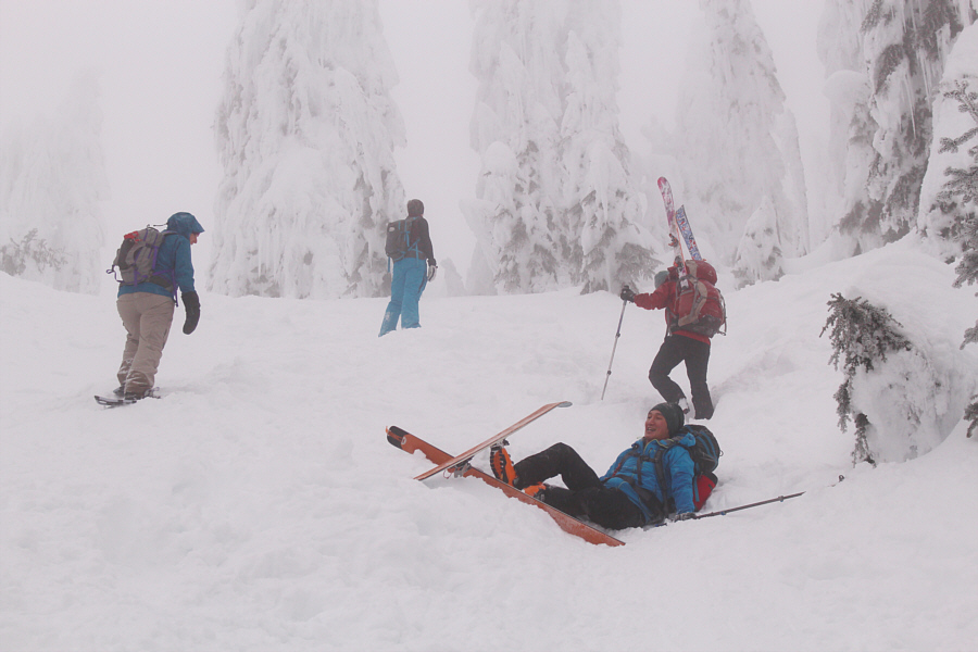
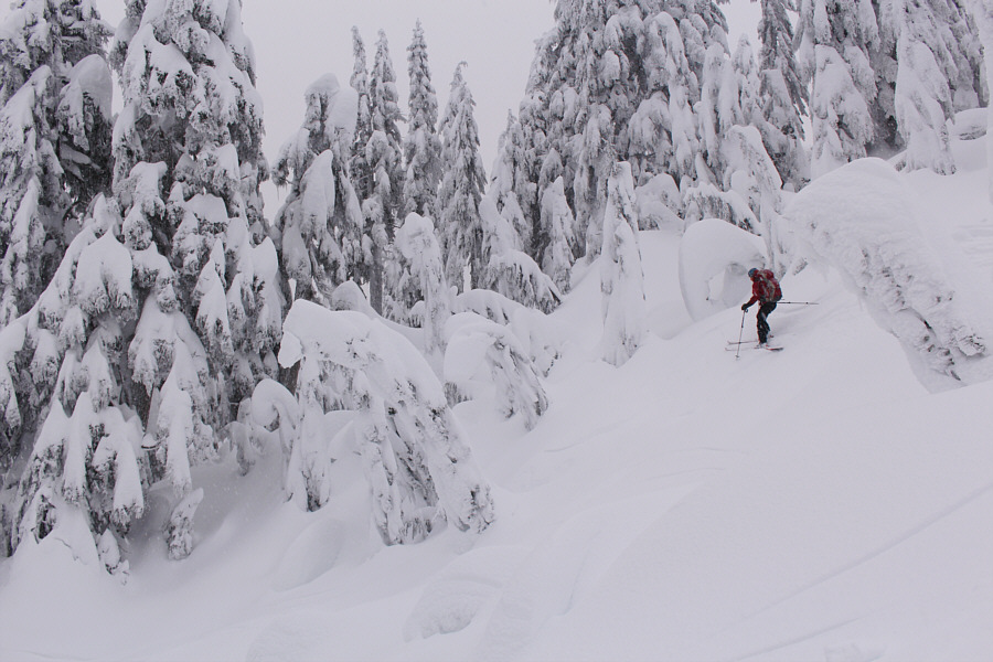
down the same way we came up. Some of the skiing was quite
challenging as we had to contend with chopped-up powder and icy ruts made
by snowshoers sliding down on their butts with garbage bags (Shaun
reported seeing one use a rice bag!). Dodging the snowshoers
themselves was also a bit frustrating as many of them were unwilling to
move even one step off the hard-packed trail to allow us to ski through.
The concept of walking in untracked powder had obviously never occurred
to these "snowshoers". Miraculously, the three of us managed to
make it down safely without a major collision.
In retrospect, it may have been safer to cut
over to the adjacent cross-country ski trails at least for part of our
descent, but I am uncertain what we would have said to a staff member if
they had caught us skiing without a trail ticket. Perhaps we could
tell them that we got lost--it happens all the time here.
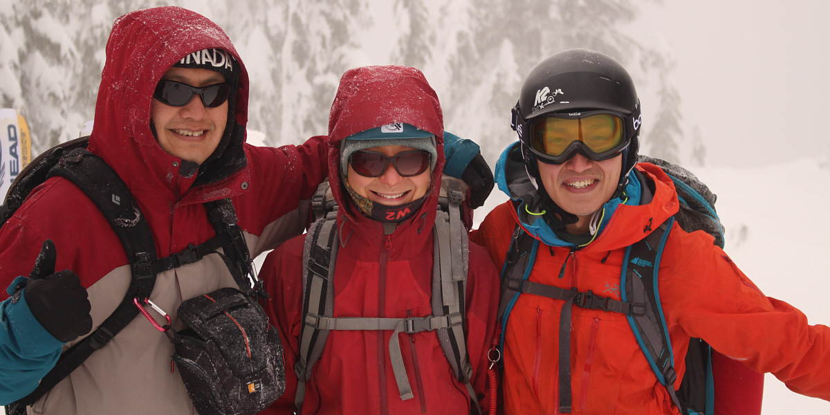
Sonny, Zosia and Shaun pose together on the summit.

