


While Kane ascended the moraine to the east of
Lyautey Glacier, we ascended mostly snow on the eastern margin of the
glacier. Nearing the head of the glacier, we turned left up a vast
scree slope leading to an obvious gully higher up. My first
impression of the scree slope ahead of us was, "This is gonna suck!"
As we started climbing though, the scree turned out to be not as bad as I
was expecting, and we took advantage of some shallow seams where the
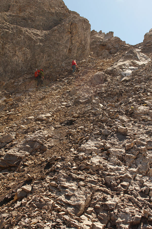
rubble was more stable. Above the scree slope, we entered a broad
gully that consisted of mainly Class 3 terrain leading to some chutes
below the summit ridge. Raff and Andrea were well ahead of me and
inadvertently turned up a chute that was icy and perhaps a little too
steep for their comfort. They floundered here, and when I
caught up to them, I told them to wait while I checked out the far side
of a rock rib to climber's left of their chute. I found a steep and
loose ramp here, but it looked quite reasonable to ascend. I notified Raff and Andrea, who were
already descending from their chute, to follow me up. The ramp runs
up to the summit ridge, and it is a short and easy scramble from there to
the summit.
The surrounding views from the summit were extraordinary on this day, and
we spent well over an hour up there before reluctantly commencing our
descent. The upper mountain is extremely loose, and we had to be
careful not to rain rocks down on each other as we descended. We
managed to get down to the glacier safely and enjoyed an easy walk back
to the top of the headwall. While Raff and Andrea more or less
descended our original ascent route up the headwall, I was curious enough
to try another route closer to the waterfall. Although I was able
to down-climb a steep chute here, I would not recommend this sketchy
route. The lower part of this route also entails descending a
rubble-filled gully with hard-packed dirt. I actually lost my footing
here and slid several metres before arresting myself with my bare hand
(got a few bloody scratches). The rest of the descent back to the
trail was uneventful. After hiking back to the Invincible Lake
turnoff, we picked up our bikes and rock' n' rolled back to the trailhead
to finish off a fantastic outing with equally fantastic company.
|
|
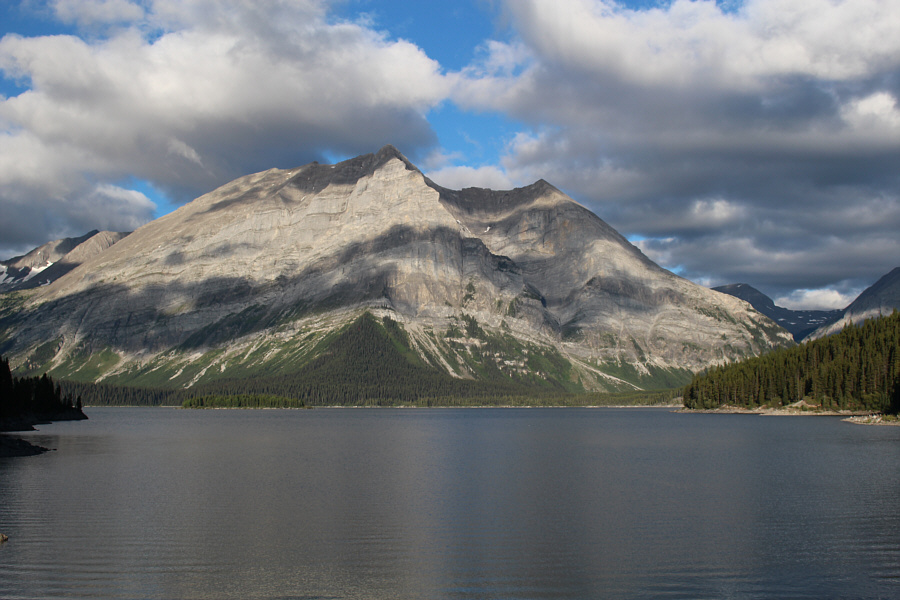
Although the bulk of Mount Lyautey sits across Upper Kananaskis Lake, the summit is not visible from this vantage point. |
|
|
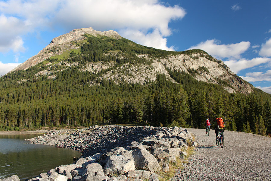
Andrea and Raff start by biking toward Mount Indefatigable. |
|
|
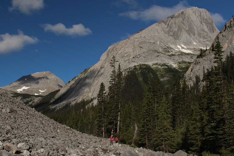
Andrea and Raff hike below Mount Putnik. Mount Worthington is visible through the gap at left. |
|
|
Mount Lyautey is just barely visible at left. This is a good place to leave the trail and head south. |
|
|
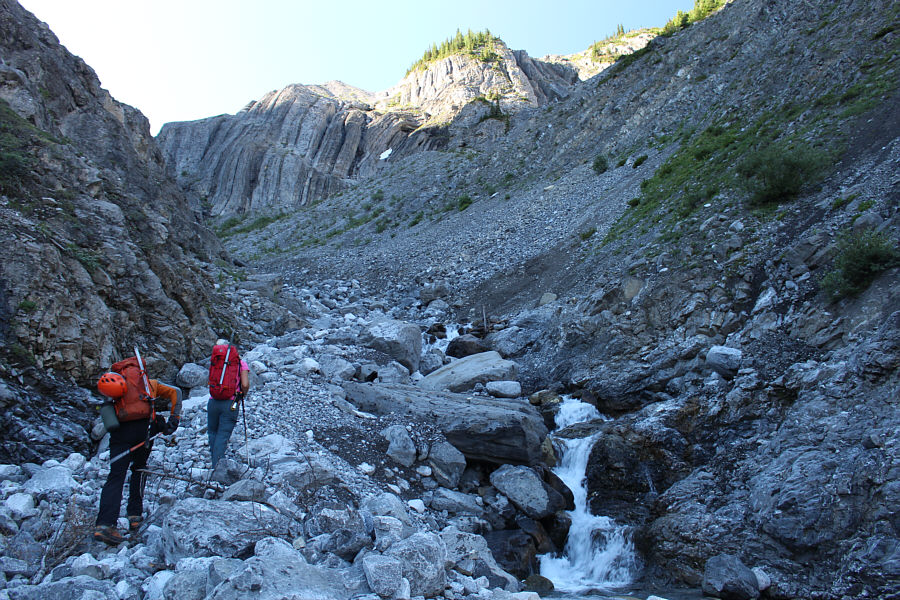
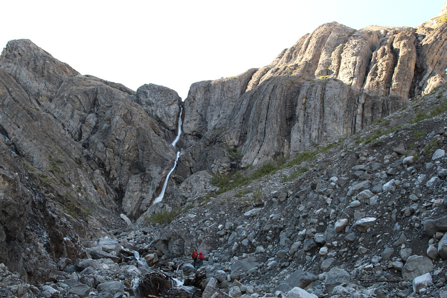
Raff and Andrea hike up the creek. Their eventual ascent route up the headwall is straight ahead at centre. |
|
|
The headwall looks impregnable. |
|
|
Raff and Andrea head for the most obvious weakness in the headwall. |
|
|
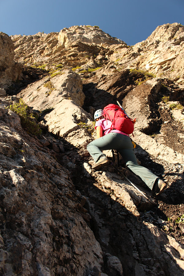
Andrea scrambles up some steep rocks. |
|
|
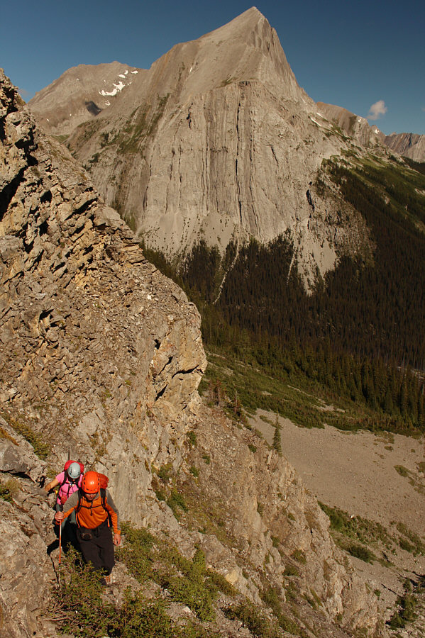
Raff and Andrea clear the most difficult part of the headwall. Mount Putnik dominates the view across the valley. |
|
|
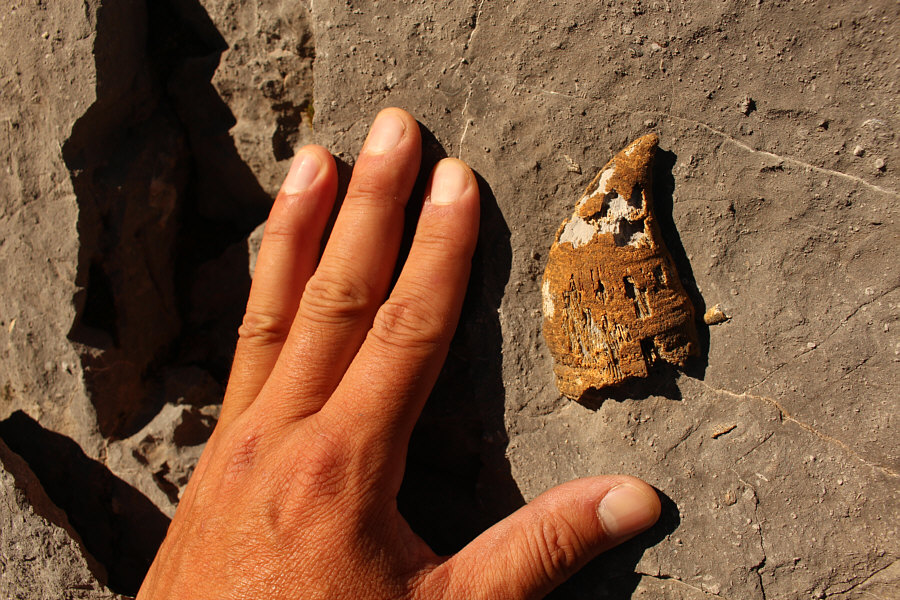
Horn coral fossils are abundant in the area. |
|
|
Andrea gets her first good look at Mount Lyautey. |
|
|
Raff and Andrea hike up some ledges below an impressive cliff face. |
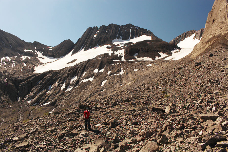
Raff and Andrea approach the toe of Lyautey Glacier.
 |
Raff and Andrea hike up the eastern margin of the glacier. |
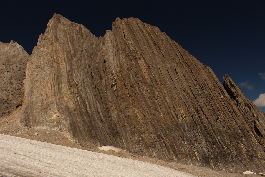 |
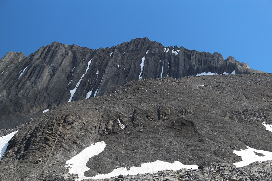
This spectacular wall guards the northwest flank of Lyautey Glacier. |
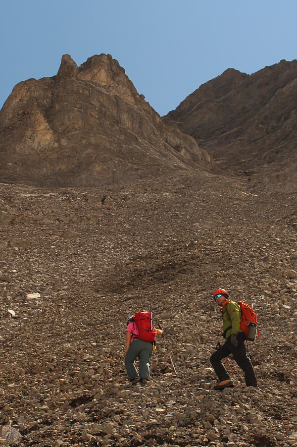 |
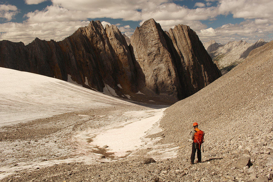
Andrea and Raff churn their way up the scree slope toward the gully above. |
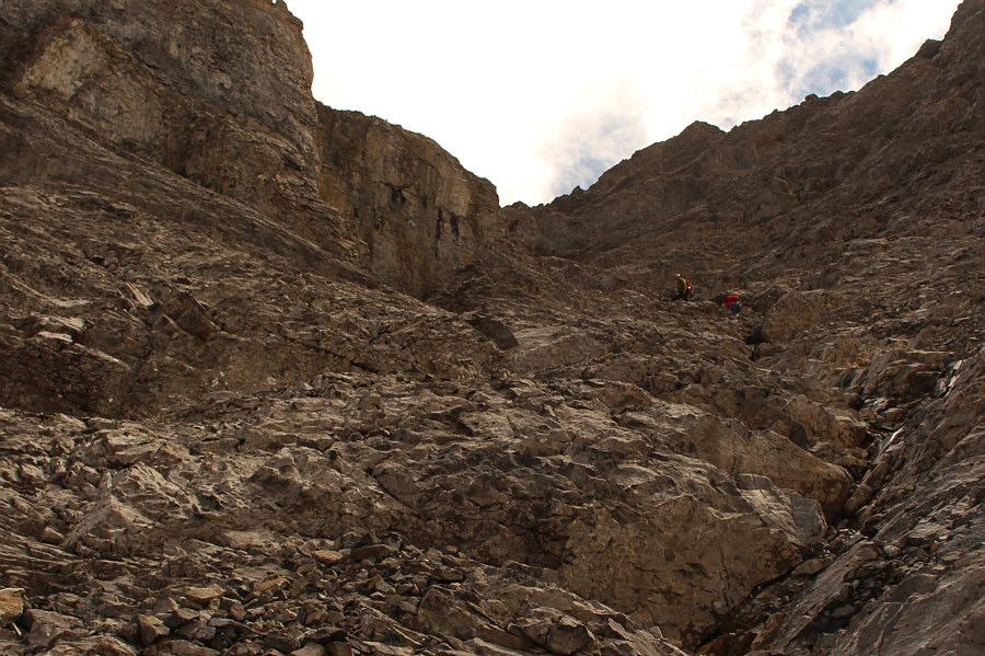 |
Though steep, the gully is mostly Class 3 scrambling terrain. |
 |
Andrea and Raff can be seen at the bottom of a snow patch in a steep chute. |
 |
Raff and Andrea ascend a loose ramp to gain the summit ridge. |
 |
Andrea, Raff and Sonny reach the summit of Mount Lyautey (3036 metres). |
 |
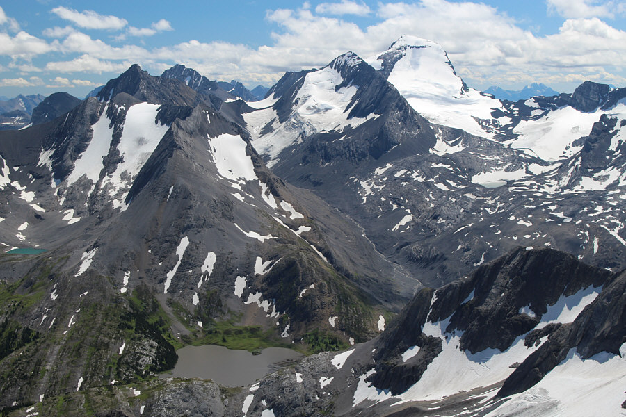
Mount King George dominates the Royal Group to the west. |
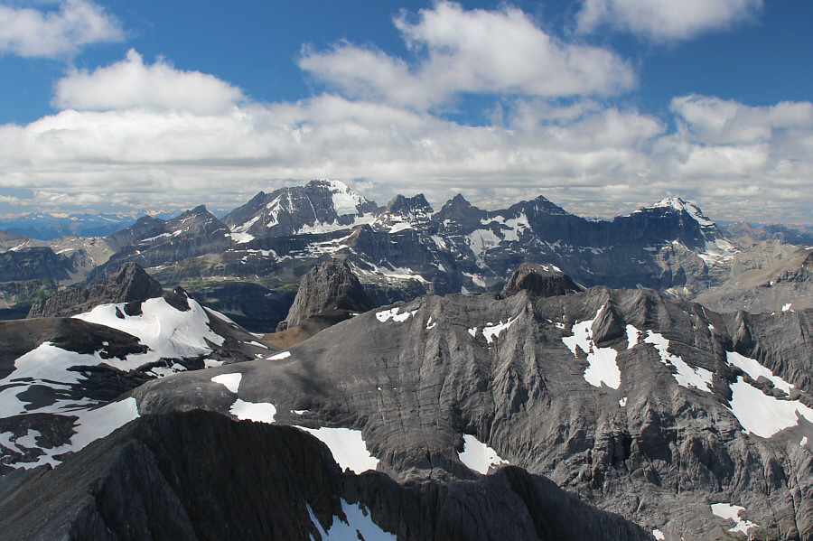
Some of the more prominent peaks to the north include Mount Assiniboine, Mount Sir Douglas and Mount French. Lyautey Glacier is visible at bottom left.
 |
Mount Rae, Mount Arethusa and Storm Mountain are all easily identified on the horizon to the east. The rock to the right of Upper Kananaskis Lake is Rawson Ridge. |
 |
To the southeast, Mount Sarrail and Mount Foch appear to be close together. |
 |
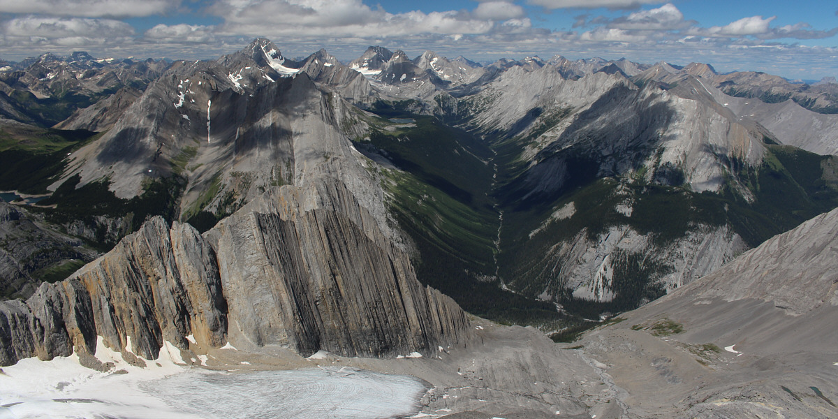
Mount Joffre rises above all the other peaks to the south. At bottom left is Aster Lake. Visible on the horizon at far right is Mount Harrison. |
 |
Mount Northover sits to the southwest. |
 |
Andrea and Sonny carefully descend the
broad gully. Photo courtesy of Rafal Kazmierczak |
 |
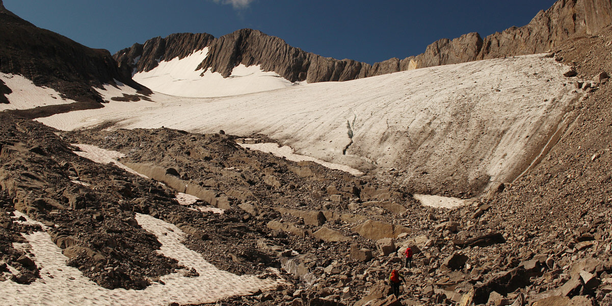
The head of Lyautey Glacier abuts the west ridge of Mount Lyautey. |
 |
Raff safely returns to Lyautey Glacier. |
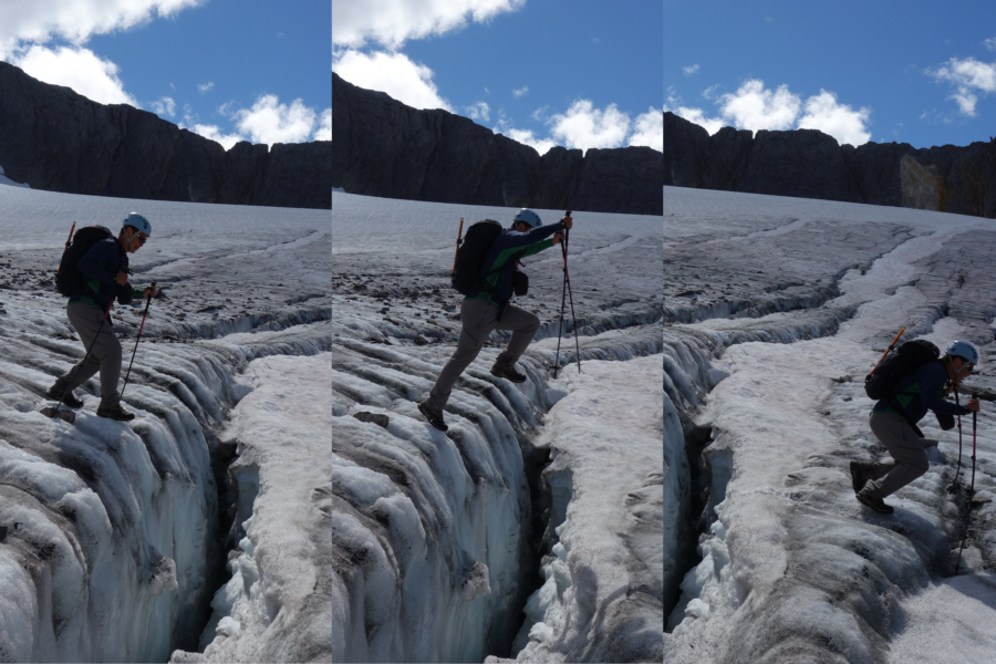 |
Sonny jumps over a crevasse for some
extra thrills. Photos courtesy of Rafal Kazmierczak |
 |
Here is a look back at Mount Lyautey and the moraine that Kane ascended. |

Andrea stops to pose for a photograph with Mount Putnik in the background.
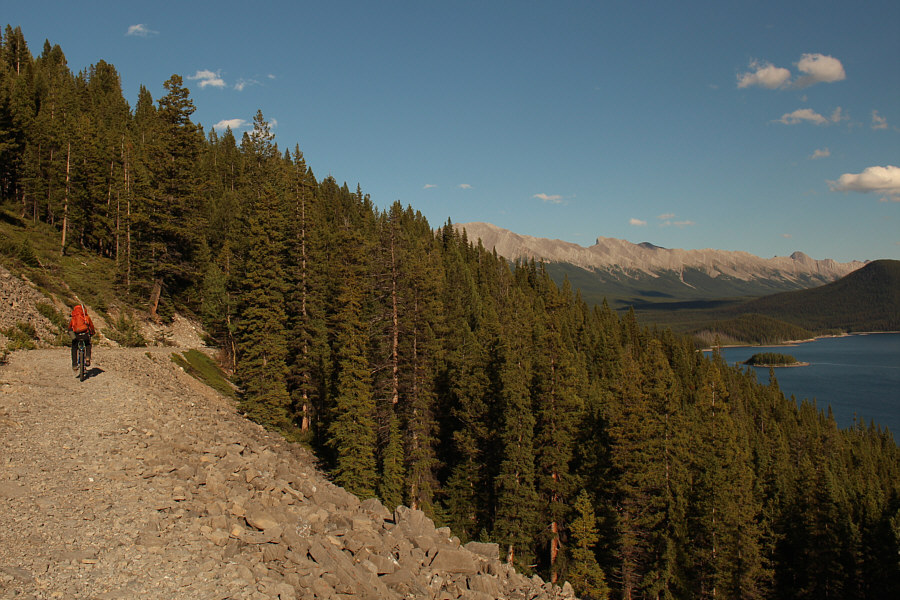 |
Raff rides his bike back to the trailhead. |
 |
Total
Distance: 24.5 kilometres Total Time: 11 hours 37 minutes Net Elevation Gain: 1316 metres |