BOU AVENUE
Morrowmount
On 17 April 2016, I joined Elisabeth Dupuis,
Marta Wojnarowska and Zosia Zgolak for an ascent of Morrowmount, an
unofficially-named peak located at the headwaters of Jura Creek north of
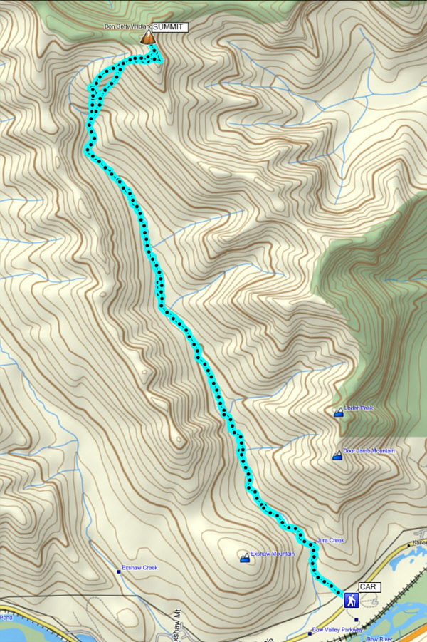
Exshaw, Alberta. From our parking spot on a side road near the entrance to
an industrial site, we crossed the highway and followed a dirt road
making a beeline for Jura Creek. After initially passing through an interesting
short canyon, we hiked up the mostly dry creek bed and then bypassed a
second canyon on the west bank. Beyond the second canyon, we
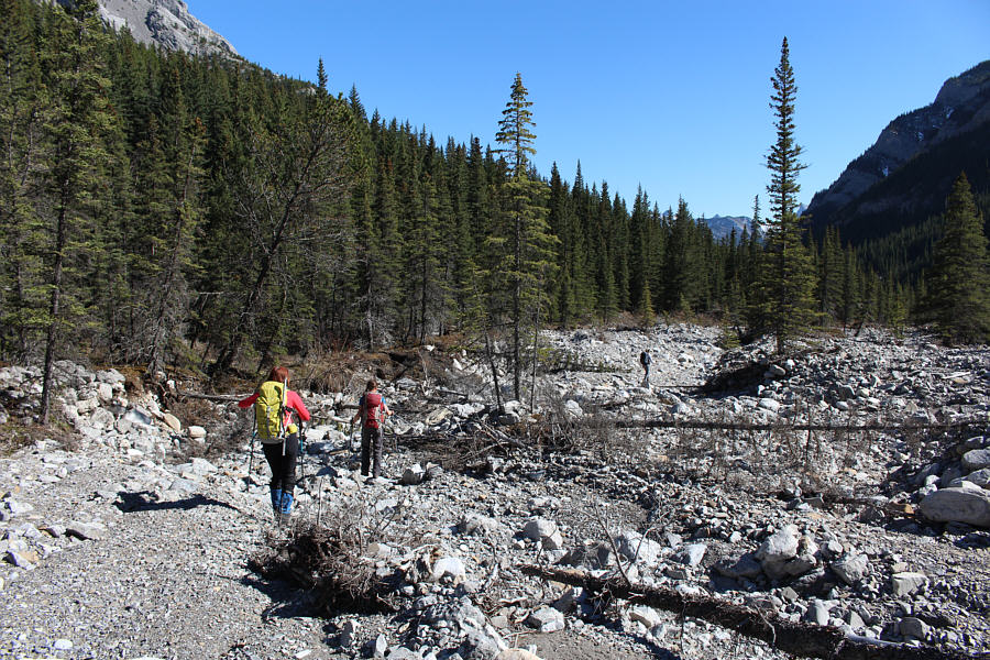
settled into a long and dull trudge up the creek. At a fork
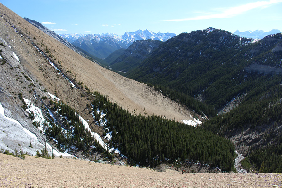
bisected by a huge yellow scree slope, we left the creek and bashed our
way straight up. Vern Dewit's GPS
tracks kept us pointed in the right direction, but it is really hard
to go wrong on this slope. At one point, I broke off from the rest
of the group and headed further to climber's left to gain the crest of a
west-trending ridge. I eventually reunited with the others at a col
just below the west face of Morrowmount, and from there, we scrambled up
to the lower south summit. As we were about to traverse to the
higher north summit, we noticed a figure coming up the slope behind us.
This lone hiker turned out to be Stephane Champoussin, a friend of
Marta's and Zosia's (besides already being a Facebook 'friend', I had
also met Stephane previously at one of Marta's parties). After
tagging the south summit, Stephane joined us for the easy traverse to the
north summit. Our lengthy summit stay was highlighted by Marta
shooting videos of each of us individually wishing her parents a happy
55th wedding anniversary.
For our return, we traversed partway back to
the south summit before descending to the aforementioned col. From
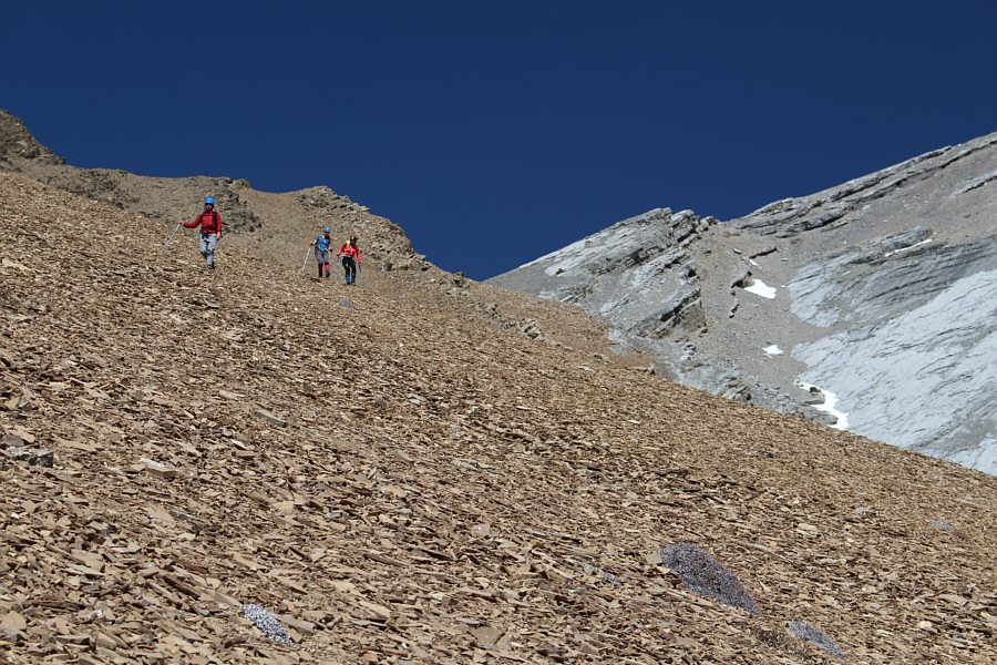
there, we stumbled down some mixed rubble until we were able to
plunge-step the remainder of the scree slope back to the creek. The long
march out Jura Creek is the real crux of this trip since the monotony is
almost as painful as the stones underfoot. The hot sun would have
made the trek even more unbearable had it been a little higher in the
sky, but it was late enough for the shade of Exshaw Ridge to provide
cover over much of the creek bed. We took lots of breaks on the way
back, and Marta and Zosia also "entertained" us with a plethora of Polish
songs. Even Elisabeth got into the act with some French Canadian
tunes. There were a lot of sore feet and maybe even a few sore
throats by the time we exited the canyon at the mouth of Jura Creek.
After parting ways with Stephane back at my car, we enjoyed an uneventful
drive back to Calgary to end a long but fun day in the mountains.
|
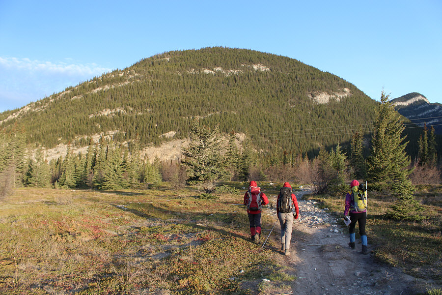
The group follows a dirt road which
leads to Jura Creek. Ahead is Exshaw Mountain. |
|
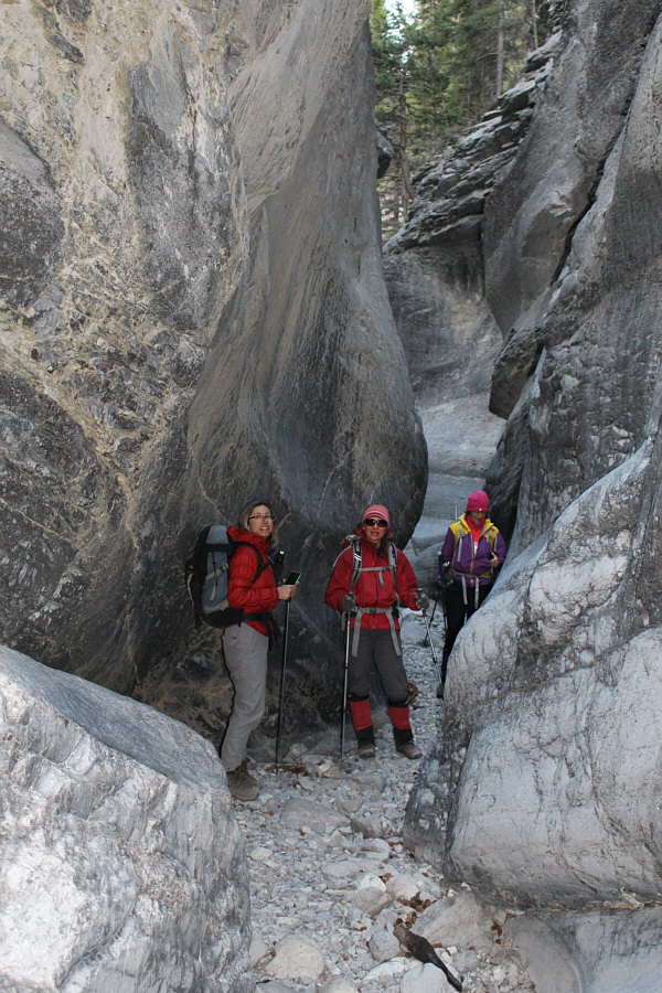
The group hikes through a short canyon
near the start. |
|
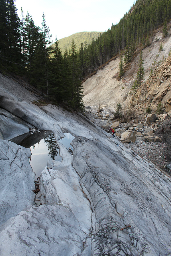
Marta hikes up gray limestone of the
Palliser Formation (for a short but concise description of this
geological formation, check out Matthew Hobbs' trip
report). |
|
Beyond the second canyon, the group
prepares to endure over two hours of monotonous hiking up Jura Creek. |
|
The group heads up a huge yellow scree
slope. |
|
Marta continues to grind uphill.
Zosia and Elisabeth are barely visible beside the trees at centre. |
|
The group heads for a col (not visible
here) between the yellow scree and the gray slabs. |
|
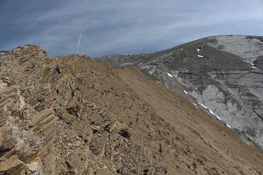
A west-trending ridge leads directly
to Morrowmount's summit ridge. The north (true) summit of
Morrowmount is at centre. |
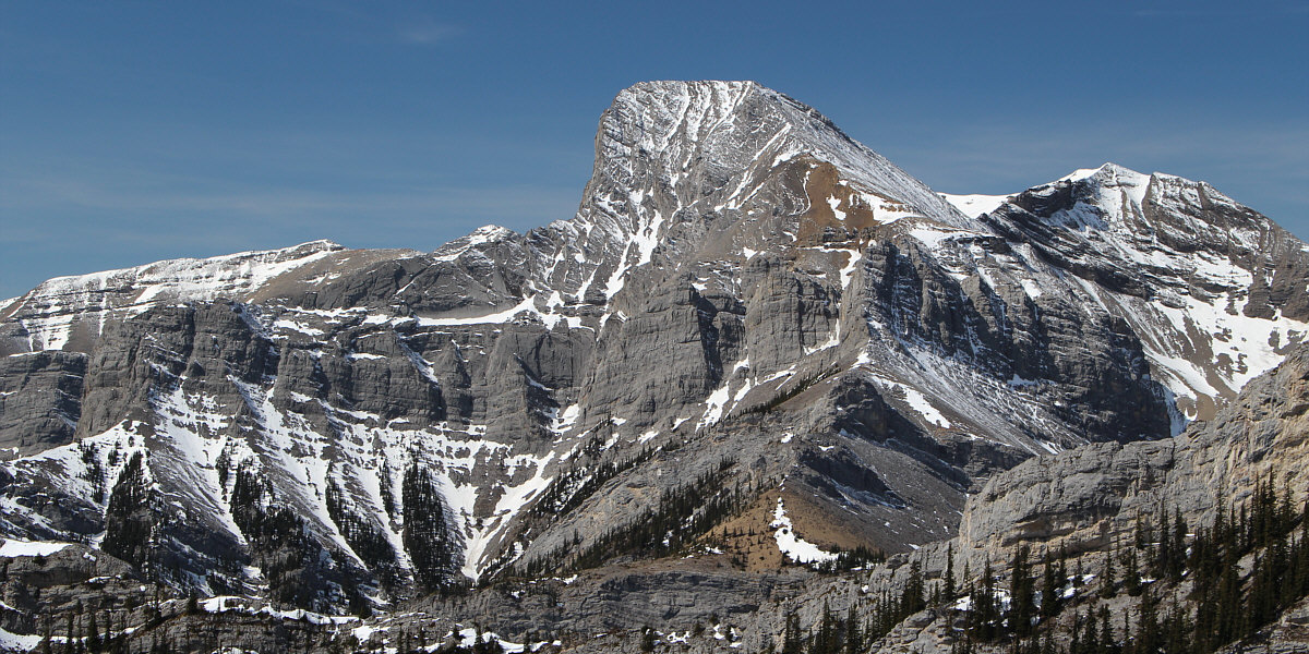
The east face of Mount Fable garners much attention
to the west.
|
Hassel Castle sticks up like a sore
thumb along the ridge to the south. |
|
Zosia, Marta and Elisabeth arrive at
the col. |
|
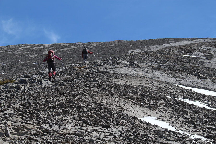
Zosia and Elisabeth scramble up to the
summit ridge. |
|
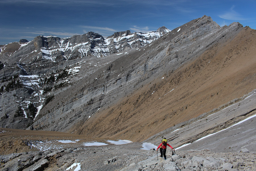
Marta climbs high above the col
(bottom left). |
|
Elisabeth, Zosia and Marta arrive at
the south summit of Morrowmount (2529 metres). The north summit
is visible at left. |
|
Stephane follows Elisabeth, Zosia and
Marta along the connecting ridge to the north summit. |
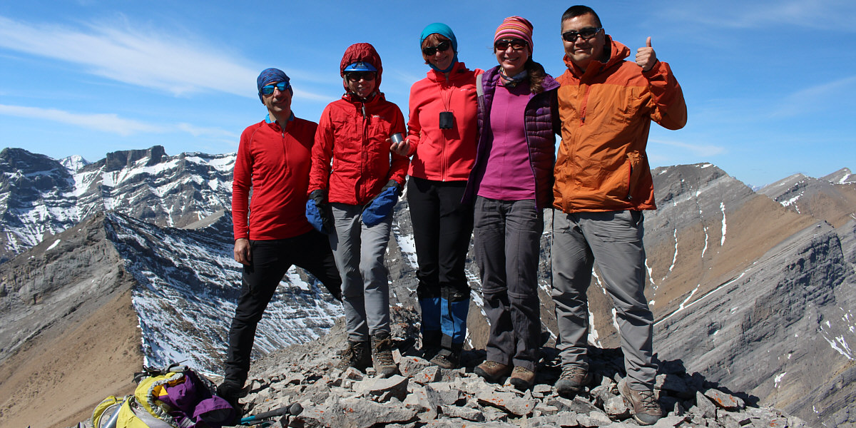
Stephane, Elisabeth, Marta, Zosia and Sonny stand on
the north summit of Morrowmount (2533 metres).
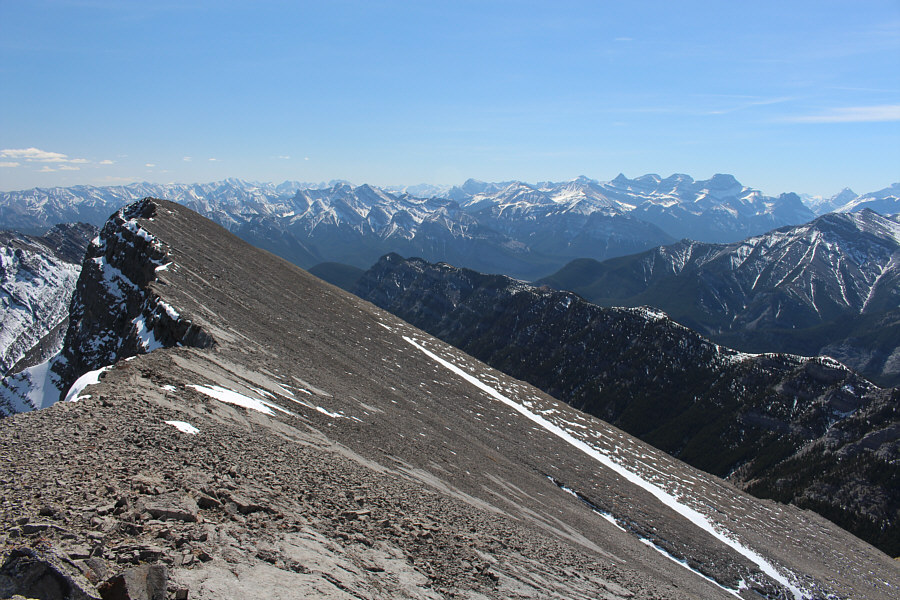
|
This is looking back at the south
summit from the north summit. The four peaks of Mount Lougheed
are visible on the horizon at right. |
|
To the northwest, the prominent peak
at left is unofficially-named Mount Townsend. |
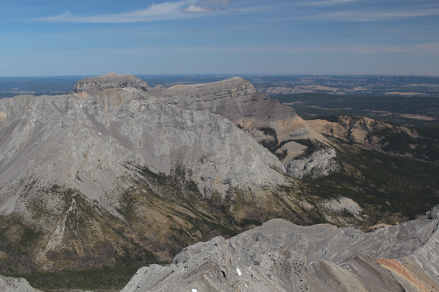
|
End Mountain and Association Peak are
visible to the northeast. |
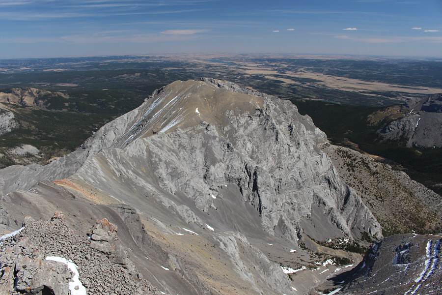
|
To the east is Wendell Mountain. |
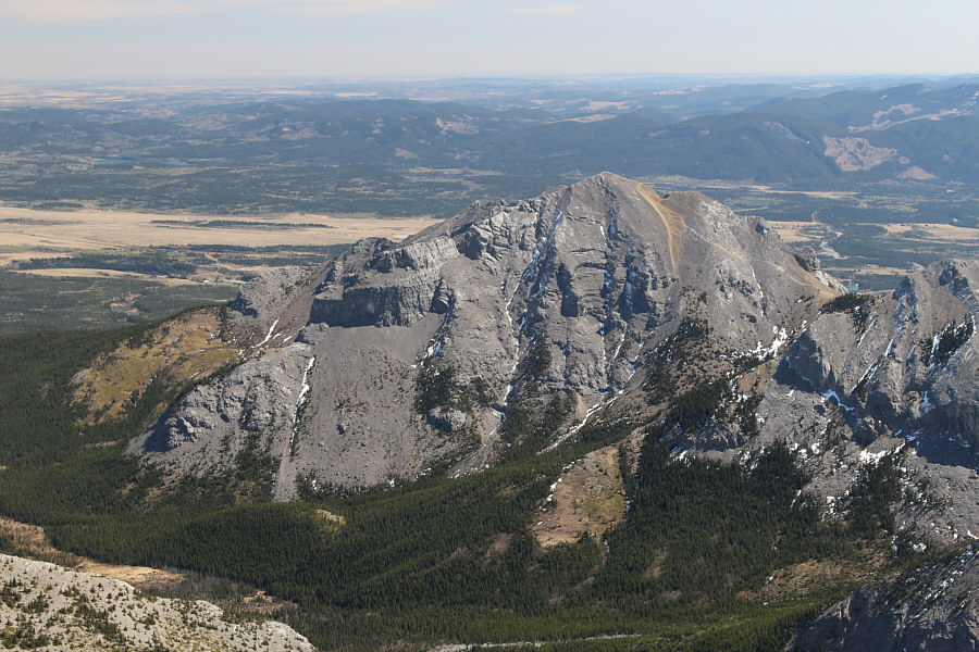
|
Mount Yamnuska is seldom seen from
this angle. |
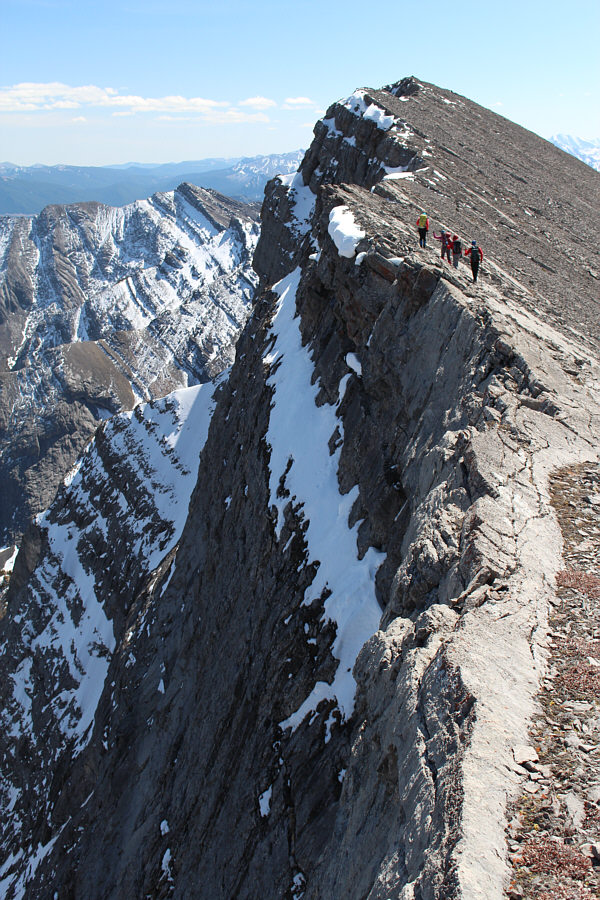
|
The group traverses partway back along
the ridge toward the south summit. |
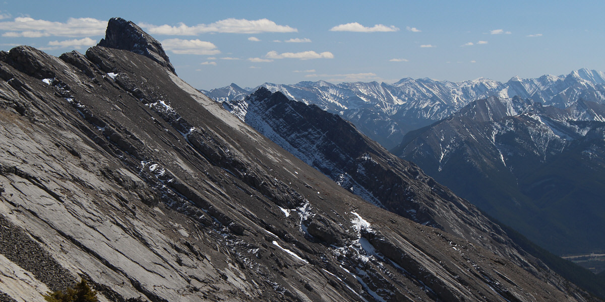
Here is another look at Hassel Castle.