
Photo courtesy of Zosia Zgolak
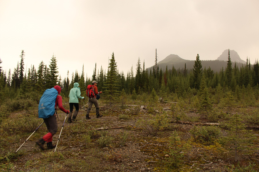
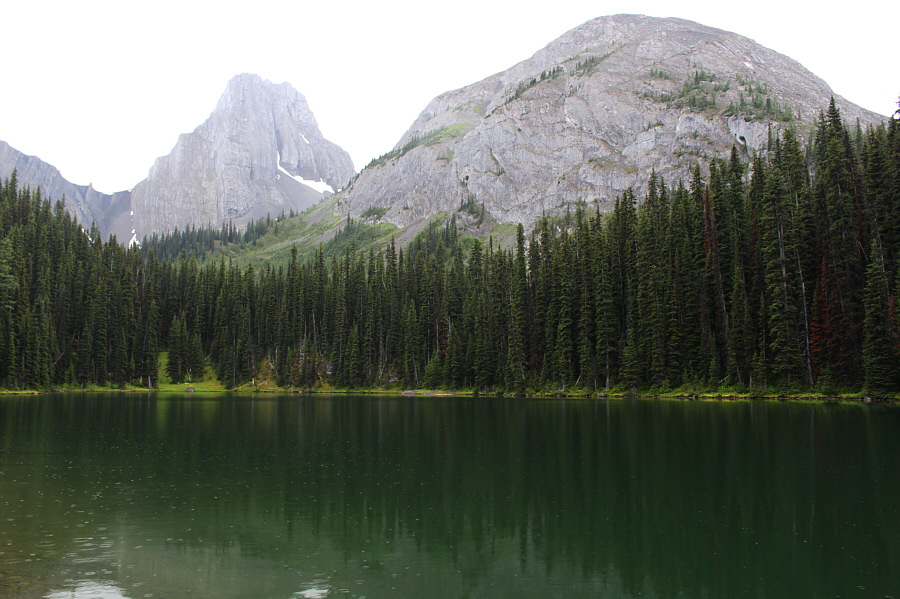
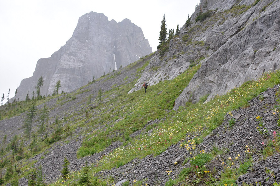
Photo courtesy of Ali Shariat
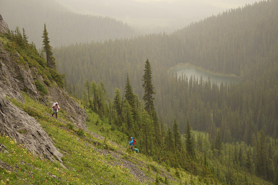


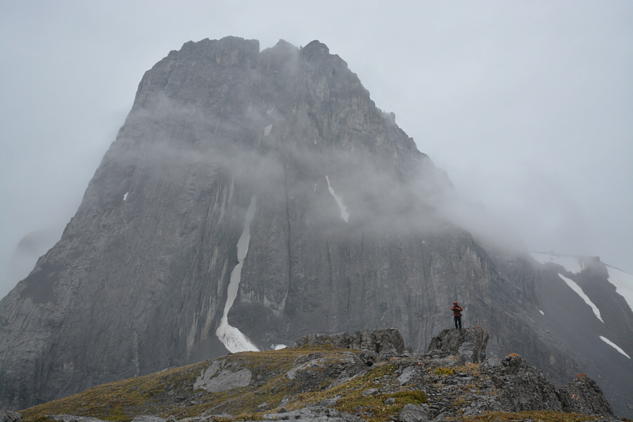
Photo courtesy of Ali Shariat
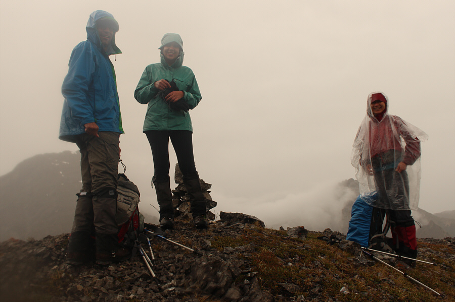
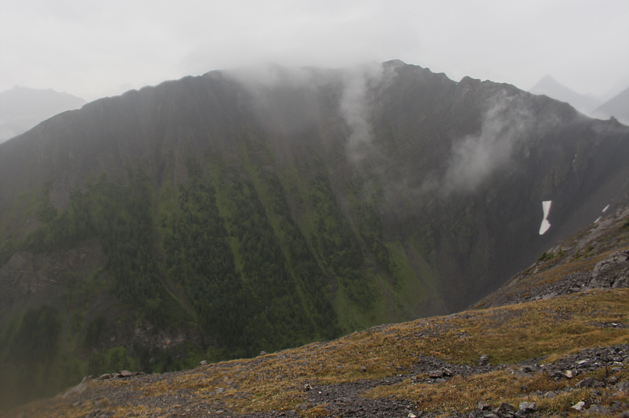
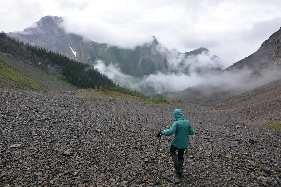
Photo courtesy of Ali Shariat

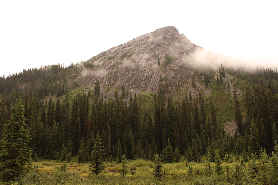
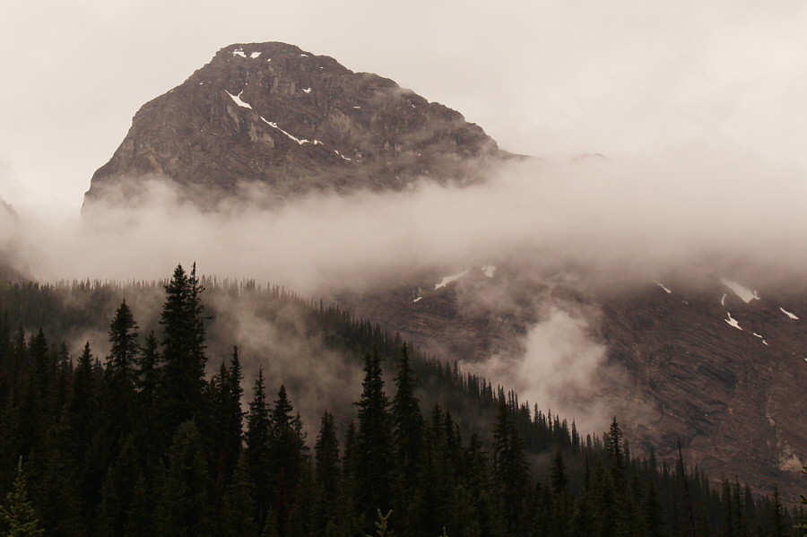
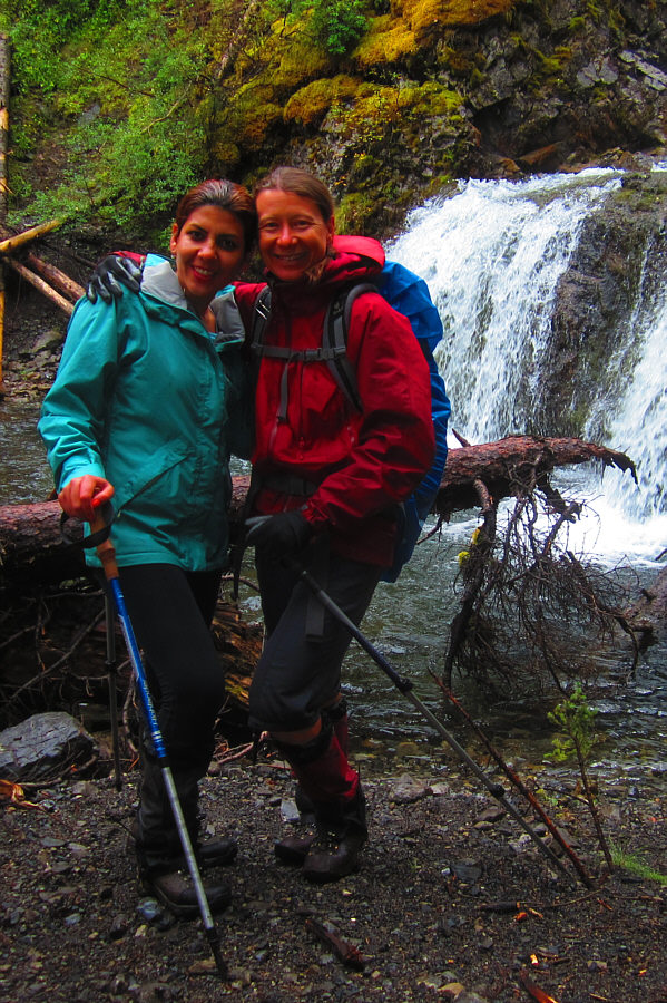
Photo courtesy of Zosia Zgolak

Total Time: 6 hours 2 minutes
Net Elevation Gain: 603 metres
After returning to the col, we descended the drainage to the west. Everything went smoothly until we passed the side creek that Daffern mentions. We totally missed the trail which "traverses right across scree into forest", and as a result, we ended up bushwhacking down a very steep and bushy slope. If we were not already damp from the rain, the wet vegetation completely soaked us to the bone. Ironically, we discovered flagging tape near the valley bottom when we least needed it. We sloshed across the flats of Commonwealth Creek and found the good trail on the other side of the valley. Later on, Ali had an awkward tumble while trying to jump across Commonwealth Creek, but otherwise, we had no issues completing the loop and hiking back to the highway. The final crossing of Smuts Creek was easy since we did not even bother taking off our already wet boots.
Despite the soggy outing and disappointing views from the top of Pig's
Back, everyone remained in good spirits throughout this trip.
Hopefully, our next outing together will grant us weather to match our
disposition.
|
|
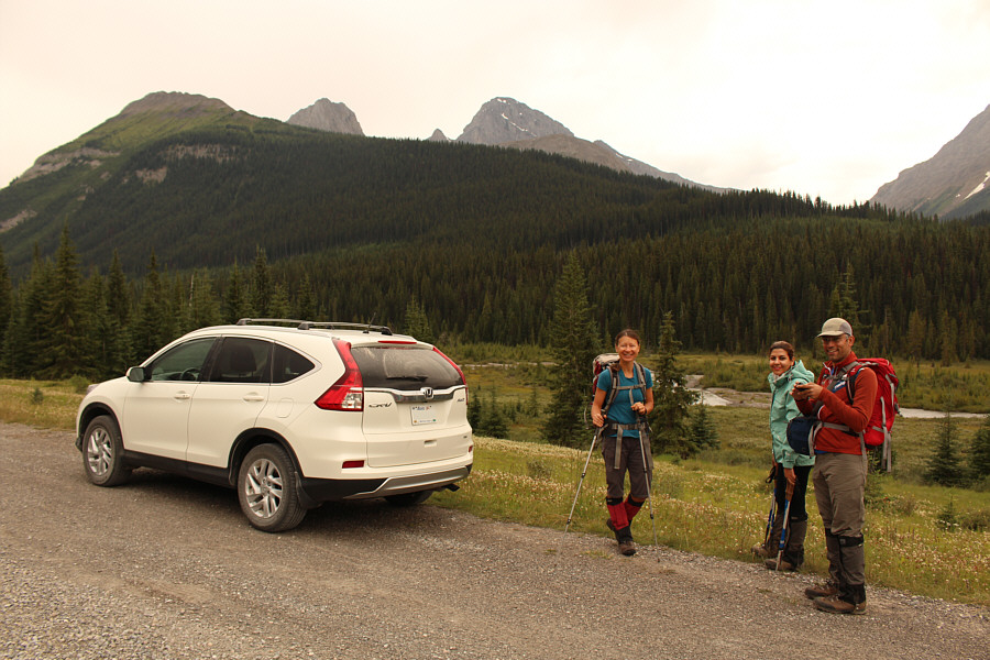
Zosia, Asieh and Ali prepare to embark on their journey. At far left is Commonwealth Ridge. Peeking above the ridge are the tops of Commonwealth Peak, Pig's Tail, Mount Birdwood and Pig's Back (in front and slightly right of Mount Birdwood). |
|
|
Ali, Asieh and Zosia ford Smuts Creek. |
|
|
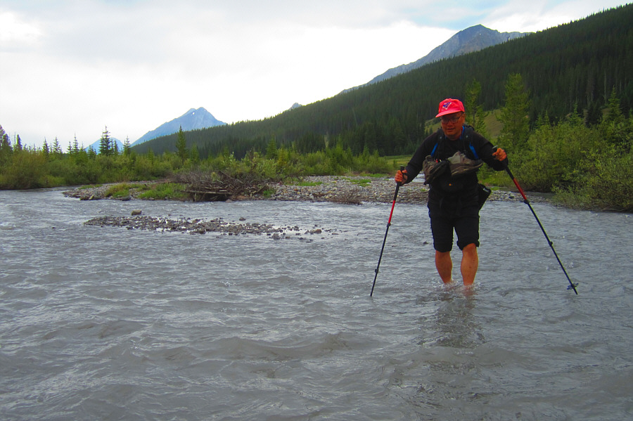
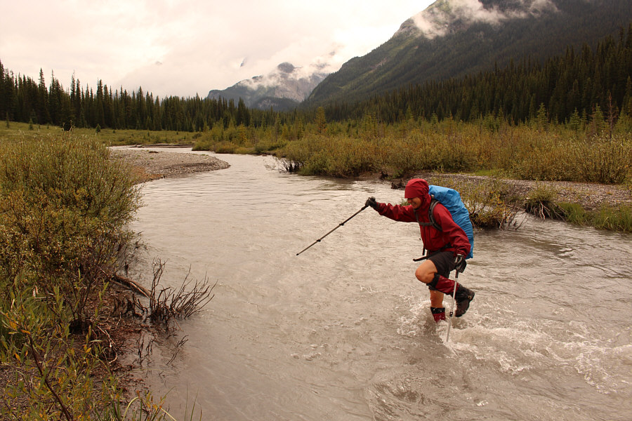
It is Sonny's turn to ford Smuts
Creek. Photo courtesy of Zosia Zgolak |
|
|
The group follows the trail to Commonwealth Lake from this cut block. The lake's namesake ridge and peak are visible in hazy distance. |
|
|
Commonwealth Lake is still beautiful in the rain. At left is Commonwealth Peak, and at right is Pig's Back. |
|
|
Sonny climbs toward Commonwealth Peak
under the eastern cliffs of Pig's Back. Photo courtesy of Ali Shariat |
|
|
Zosia, Ali and Asieh climb up high above Commonwealth Lake. |
|
|
Zosia pauses to adjust her gear just below the summit ridge of Pig's Back. |
|
|
Large flakes of rock appear ready to peel off the west side of the summit ridge. |
|
|
The summit of Pig's Back is not
well-defined, but Sonny is standing on the highest point (2427
metres) recorded by his GPS. Commonwealth Peak dominates the
background. Photo courtesy of Ali Shariat |
|
|
Ali, Asieh and Zosia are still smiling at the north end of the summit ridge. |
|
|
Commonwealth Ridge sits to the southeast. |
|
|
Asieh follows Zosia and Sonny down the
drainage to the west of Pig's Back. At left, Mount Smuts is
partially shrouded by mist. Photo courtesy of Ali Shariat |
|
|
Ali and Asieh seem unfazed by very wet bushwhacking near the bottom of the drainage. |
|
|
Here is a look at the north end of Pig's Back from Commonwealth Creek. |
|
|
Mount Birdwood makes an appearance through the mist. |
|
|
Asieh and Zosia embrace in front of
the falls of Commonwealth Creek. Photo courtesy of Zosia Zgolak |
|
|
Zosia tramps back across Smuts Creek without taking off her boots. |
|
|
Ali, Asieh and Zosia are happy that their very wet ordeal is just about over. |
|
|
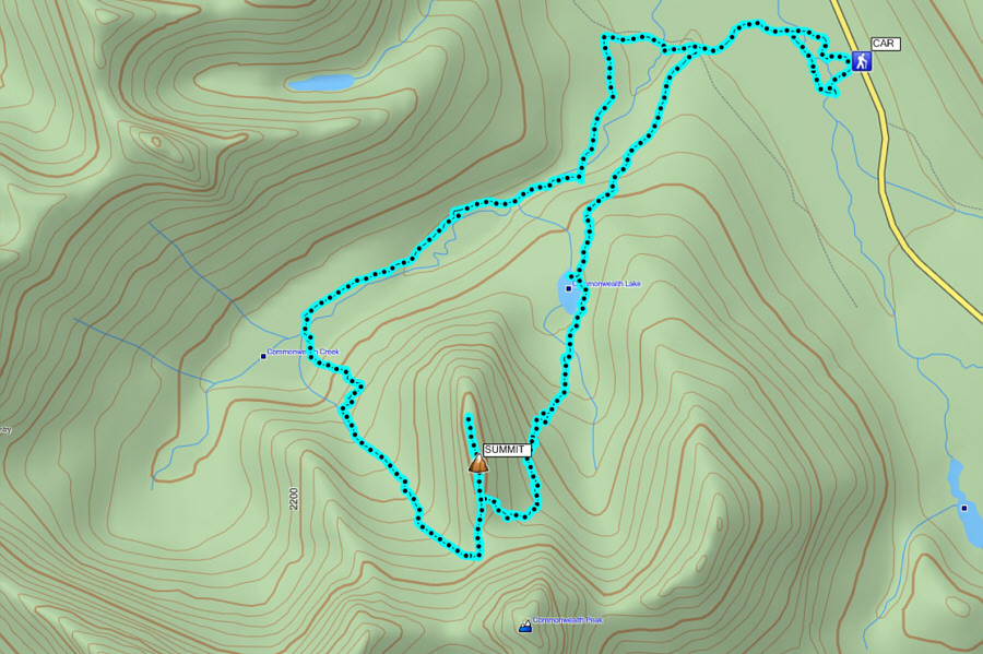
Total
Distance: 12.6 kilometres Total Time: 6 hours 2 minutes Net Elevation Gain: 603 metres |