Photo courtesy of Zosia Zgolak
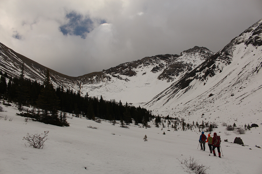
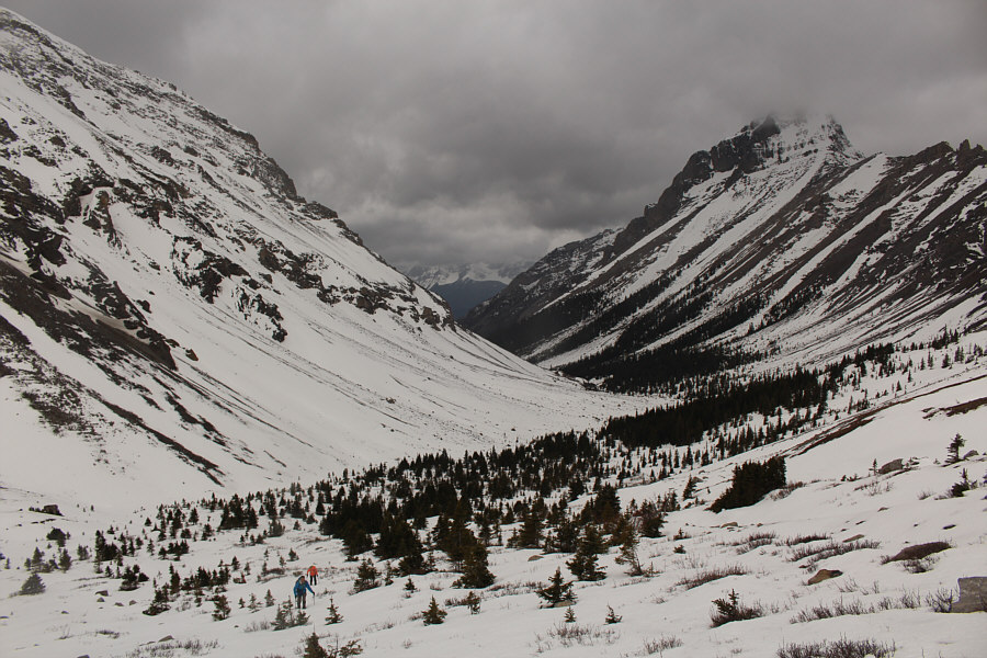
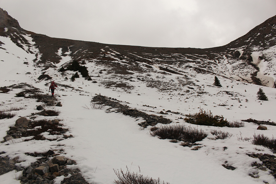
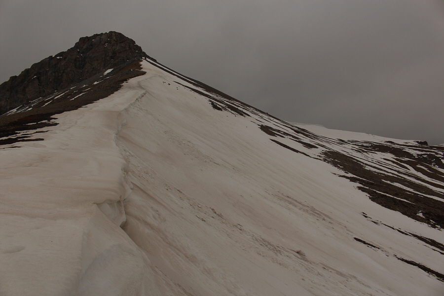
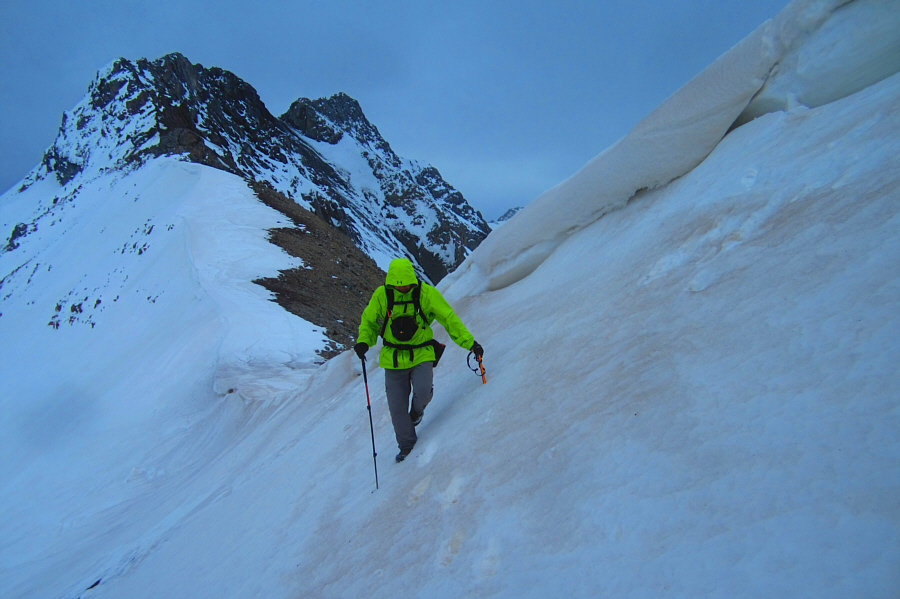
Photo courtesy of Zosia Zgolak
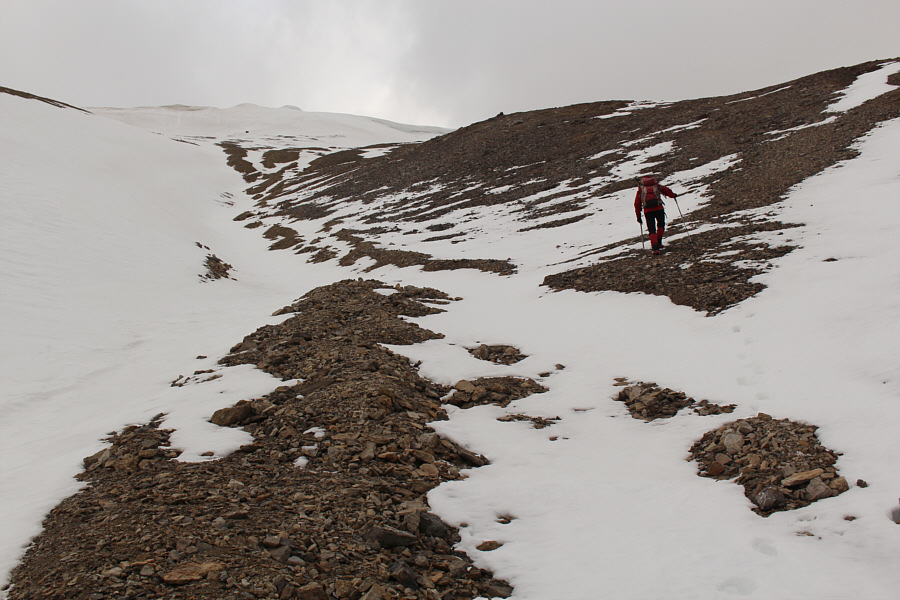
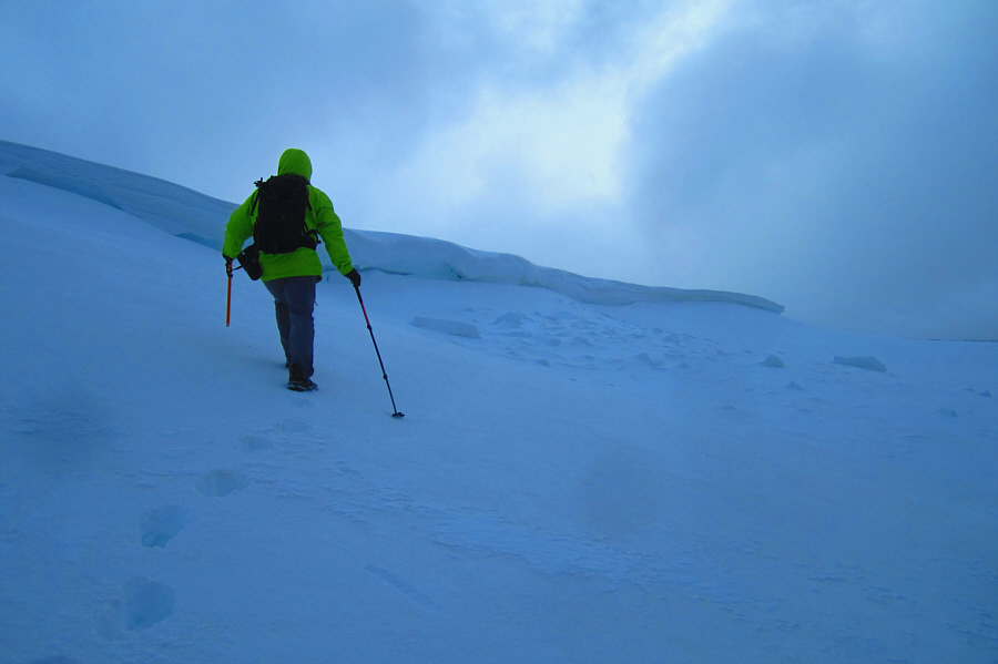
Photo courtesy of Zosia Zgolak

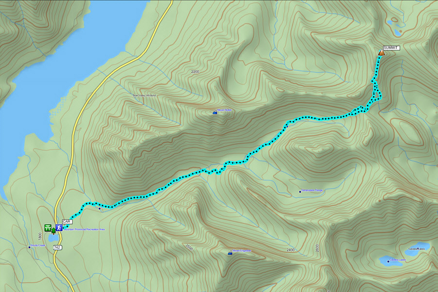
Round-Trip Time: 7 hours
Net Elevation Gain: 977 metres
|
|
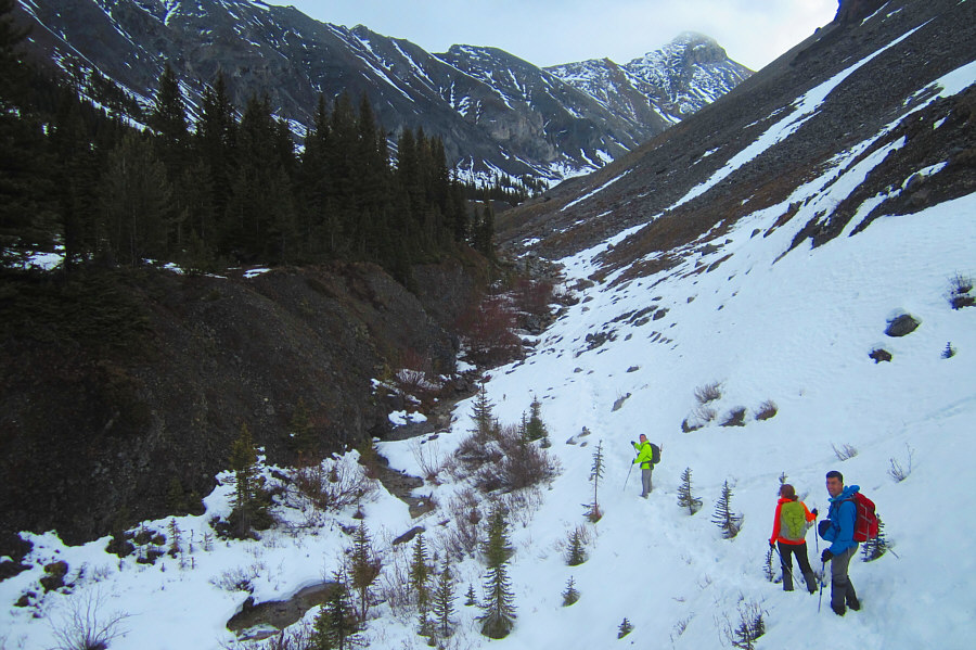
Asieh and Ali follow Sonny into the
valley leading to North Buller Pass (not visible here). Photo courtesy of Zosia Zgolak |
|
|
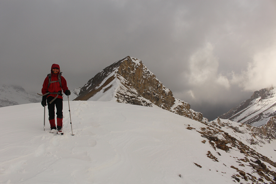
North Buller Pass (left) is in sight. |
|
|
Ali and Asieh come up the open slopes below North Buller Pass. Mount Buller is partially shrouded in clouds at right. |
|
|
Zosia climbs up toward North Buller Pass. |
|
|
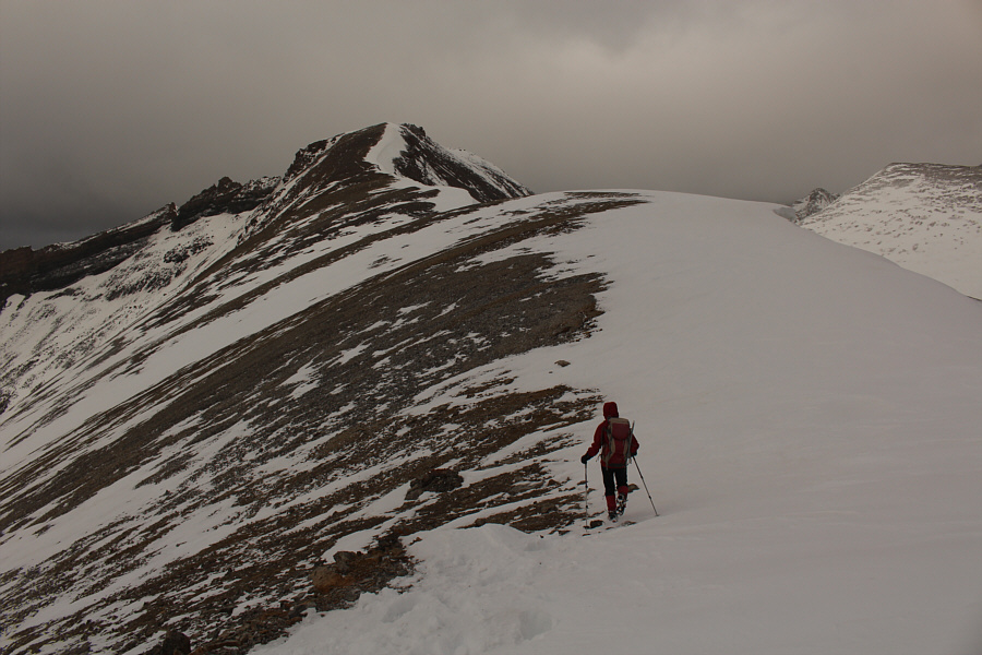
From North Buller Pass, the route cuts across this slope and climbs toward the corniced ridge at distant right. |
|
|
Sonny carefully drops down the east
side of North Buller Pass. Photo courtesy of Zosia Zgolak |
|
|
Zosia climbs up a mix of snow and rubble. |
|
|
Sonny approaches the cornice guarding
the ridge. Photo courtesy of Zosia Zgolak |
|
|
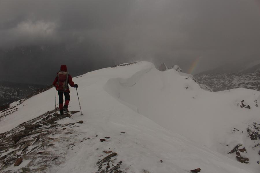
Zosia pops out onto the ridge crest beyond the intervening bump behind her. |
|
|
Zosia hikes the easy south ridge of Red Peak. |
|
|
A rainbow appears unexpectedly beyond the summit ridge. |
|
|
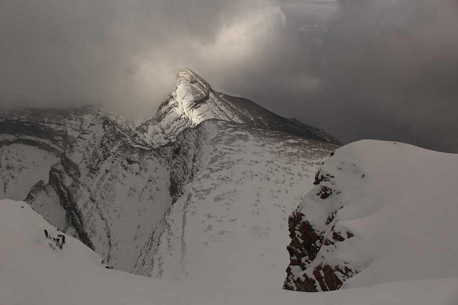
The clouds lift slightly to partially reveal Mount Bogart. |
|
|
Sonny and Zosia stand on the summit of Red Peak (2781 metres). |
|
|
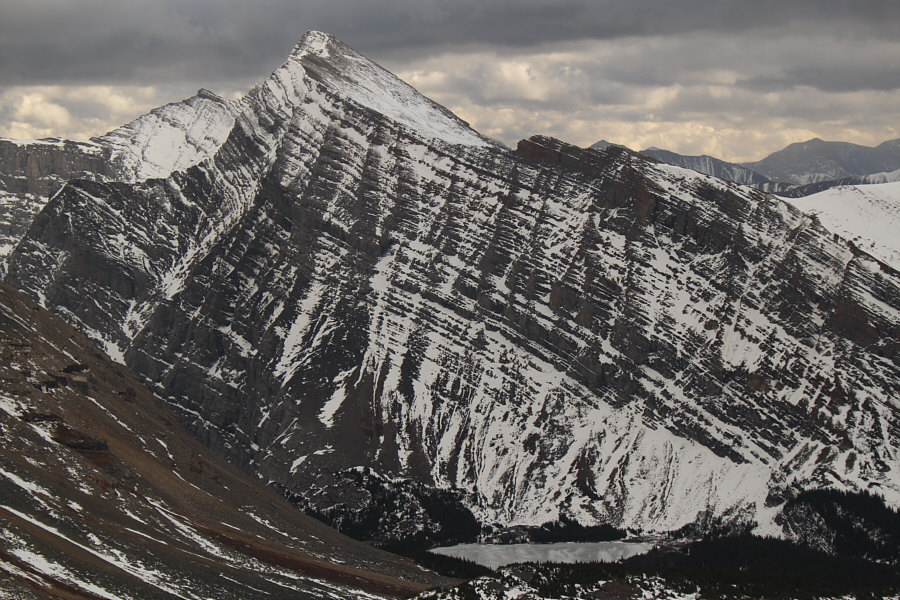
To the southwest is Mount Buller (right). |
|
|
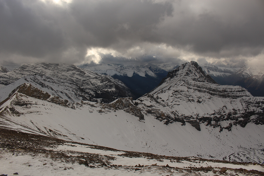
Mount Kidd South Peak and Ribbon Lake grab all the attention to the southeast. |
|
|
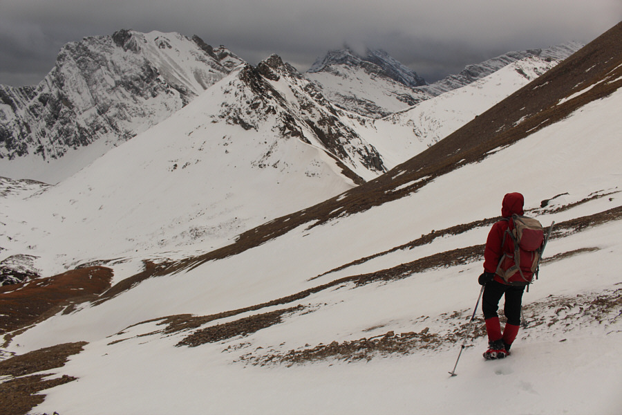
On descent, Zosia aims for North Buller Pass (right of centre). |
|
|
Total
Distance: 17.7 kilometres Round-Trip Time: 7 hours Net Elevation Gain: 977 metres |