BOU AVENUE
Bellevue Hill

Rafal (Raff) Kazmierczak invited me to join him, Joanna Ford and Andrew Nugara for an ascent of Bellevue Hill in Alberta's Waterton Lakes National Park on 26 March 2017.  After driving out from Calgary with Joanna and Raff, I picked up Andrew from his cabin in Mountain View and headed toward the park.  The usual approach to Bellevue Hill as described in Andrew's More Scrambles in the Canadian Rockies is via the southeast ridge, but since the Red Rock Parkway was still closed for the season, we planned on trying a new approach via the northeast ridge.  This approach would entail starting from the park's bison paddock, but when we arrived there, park staff came by and informed me that I had to park my car back near the main highway because they were planning a prescribed burn in the area.  Oddly enough, there were no restrictions to hikers wandering through the same area!  Although the extra walk from the highway would have been trivial, we opted to steer clear of the prescribed burn and re-visit the usual southern approach for Bellevue Hill.

As expected, the Red Rock Parkway was still closed, but without any complaint, we simply parked at the pullout in front of the gate and started hiking from there.  Most of the paved road was dry, and we made fairly short work of the 4-kilometre approach to the base of Bellevue Hill.  Deviating slightly from Andrew's guidebook description, we walked a bit further west along the road and ascended steep but easy slopes to gain the southeast ridge.  From there, we had no problems hiking over a false summit to the top of Bellevue Hill.

For our descent, we backtracked partway to the false summit before dropping down and angling across the south-facing slopes below.  Except for a few snow patches, our hike back down to the road was largely trouble-free.  Good conversation and scenic views helped make the subsequent long walk out along Red Rock Parkway quite enjoyable.

Afterward, Andrew graciously offered the rest of us some refreshments back at his cabin before Raff, Joanna and I hit the road to return to Calgary.
Great location...except when it is windy! 
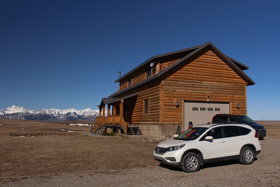
On a clear day, Mount Blakiston (far left) and many other peaks in the Waterton area are visible from Andrew's cabin.
Are you bringing an ice axe? Crampons? Snowshoes? Golf clubs? 
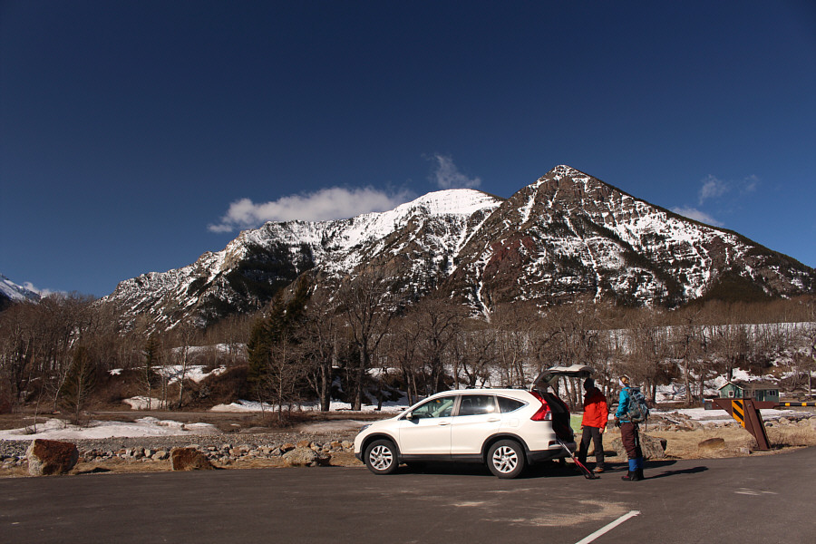
The group gears up at a pullout beside the seasonal gate for Red Rock Parkway.  In the background is Mount Crandell.
Hey, a 4-kilometre approach on a paved road still beats bushwhacking any day! 
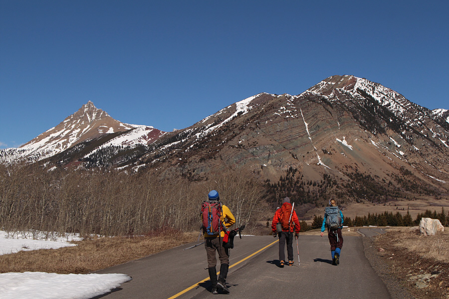
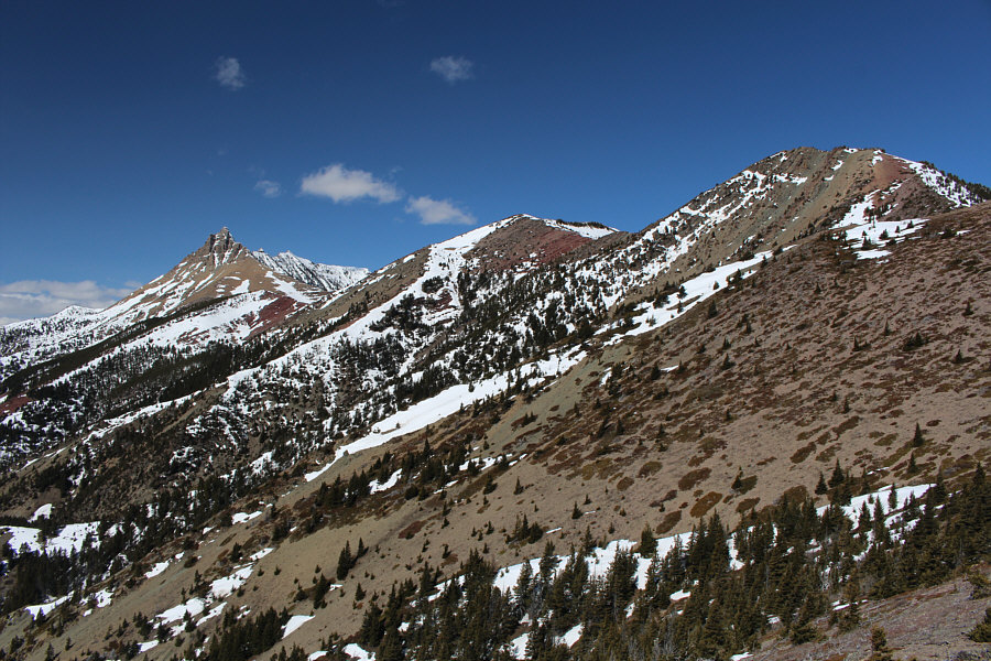
Red Rock Parkway is itself quite scenic as the group enjoys views of Mount Galwey (left) and Bellevue Hill (right).
Linda Breton...if you're reading this, please e-mail me!

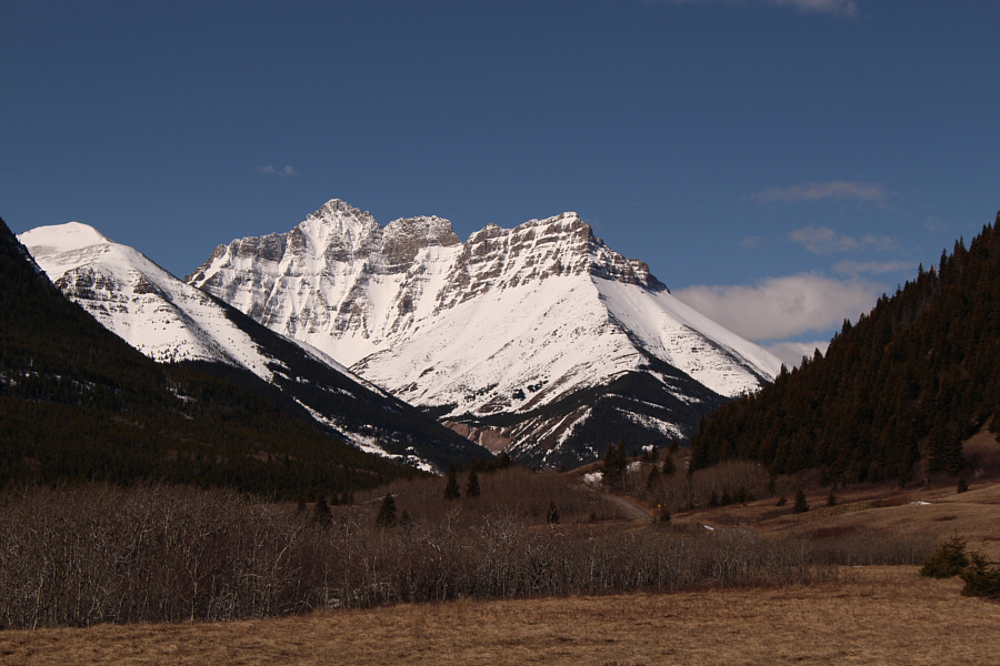
Mount Blakiston is the highest peak in Waterton National Park.

It's only a model! Shhhh!!

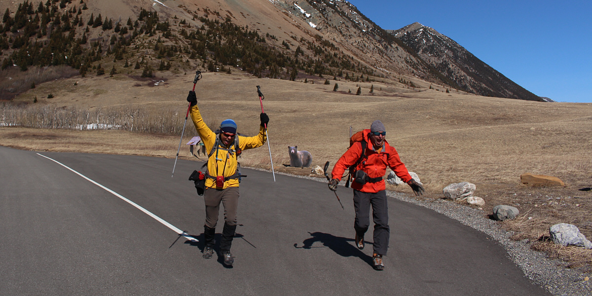
Andrew and Raff run for their lives away from the grizzly bear on the side of the road.


I might need a belay here... 
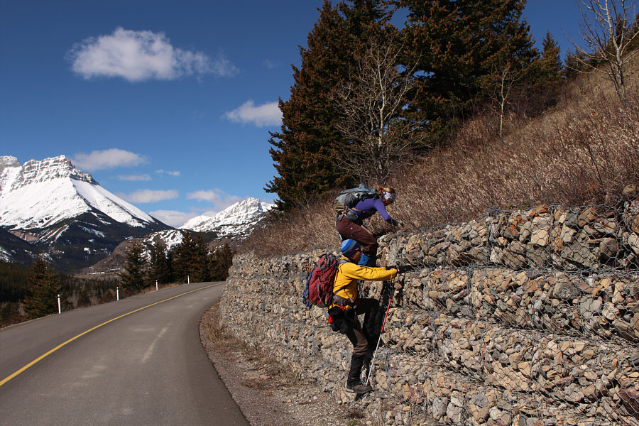
Andrew and Joanna put their climbing skills to the test on a retaining wall beside the road.
Watch out for ticks! 
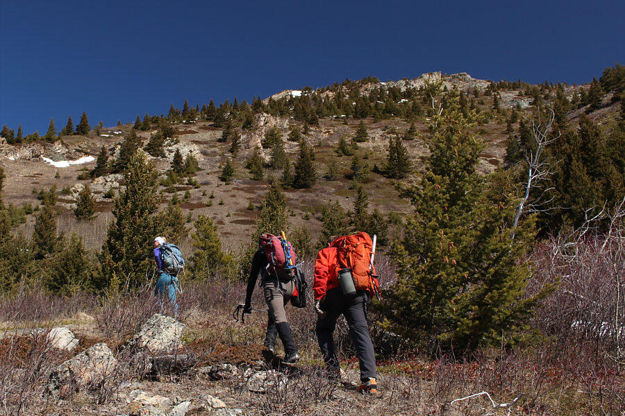
Joanna leads Andrew and Raff up an easy slope.

Already great bang for your buck on this trip!

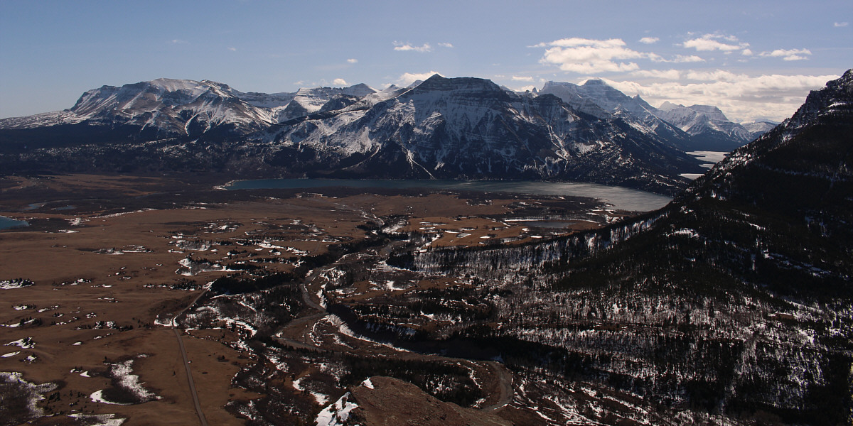
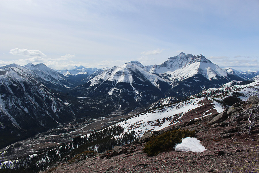
From the southeast ridge of Bellevue Hill, there are nice views of Middle Waterton Lake, Sofa Mountain (left), Vimy Peak (centre) and Mount Cleveland (right).


More plodding from here to the true summit... In this view from the southeast ridge, the true summit of Bellevue Hill is just right of centre.  The false summit is at right while Mount Galwey looks striking at distant left.
Nothing complicated here! 
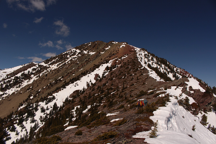
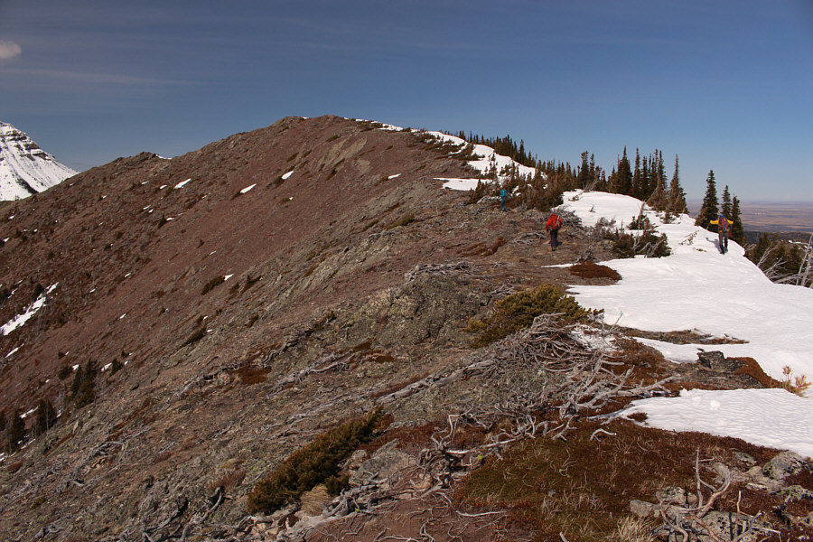
The group follows the southeast ridge up to a false summit.
Really? They couldn't let me park at the blue cargo container??? 
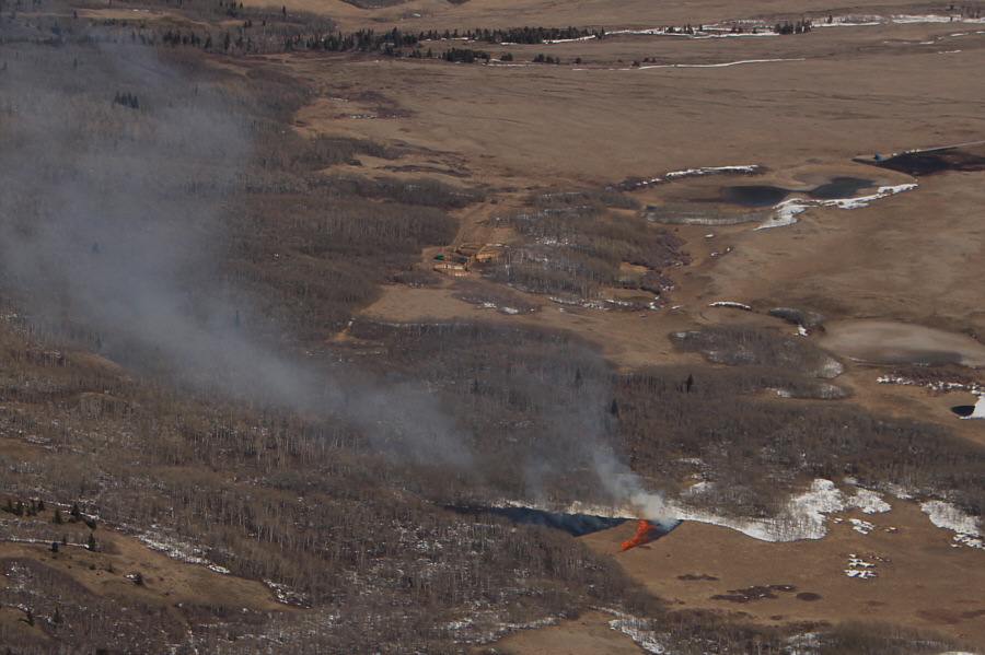
The prescribed burn can be seen from the southeast ridge.  Note the parking spot at upper right (with blue cargo container) where parking was forbidden on this day.
This always reminds me of meat! 
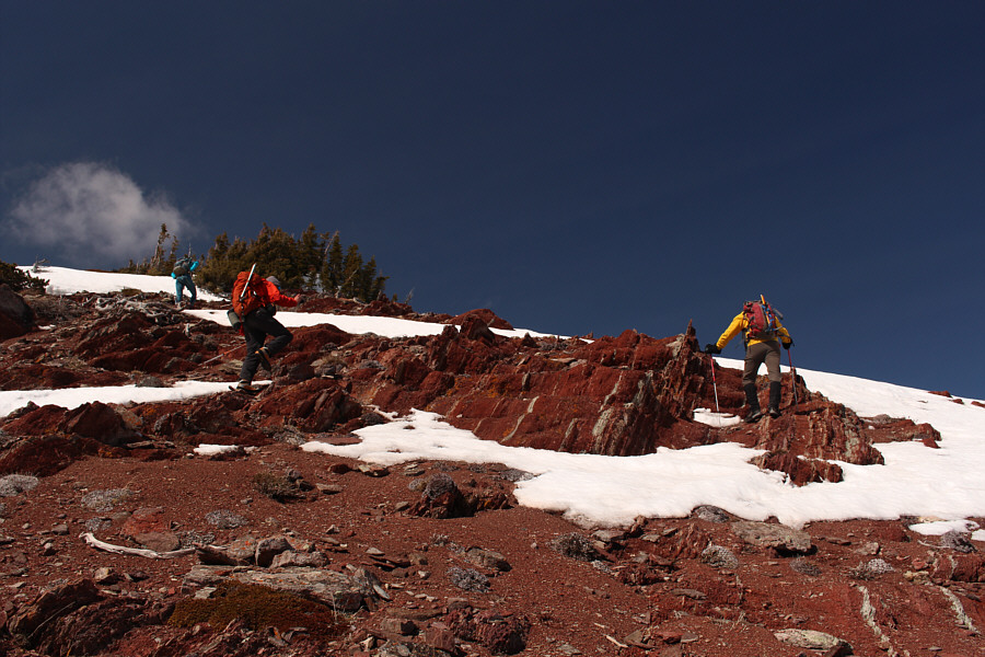
The group encounters some of the red argillite that Waterton National Park is famous for.
We could almost ski this! 
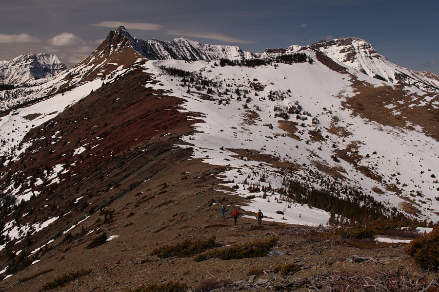
After hiking over the false summit, the group heads for the true summit of Bellevue Hill.
Andrew likes living on the edge by walking on cornices! The group takes the last few steps before the true summit.
Nice try, Raff, but Joanna has the better form! 
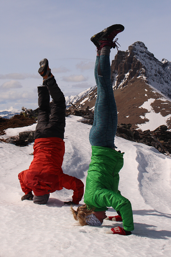
Raff and Joanna show off their headstands on top of Bellevue Hill.

I wonder how many times Andrew has climbed up here...

On top of Bellevue Hill (2116 metres) are Andrew, Joanna, Raff and Sonny.


Looks like another good hike to do in the near future... 
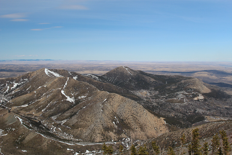
Here is a comprehensive view of Lakeview Ridge to the north.
Kintla Peak is on my wish list... Notable peaks visible to the southwest include Mount Carthew, Buchanan Ridge, Kintla Peak, Kinnerly Peak, Ruby Ridge, Mount Lineham and Mount Blakiston.
We're going down hard and fast! 
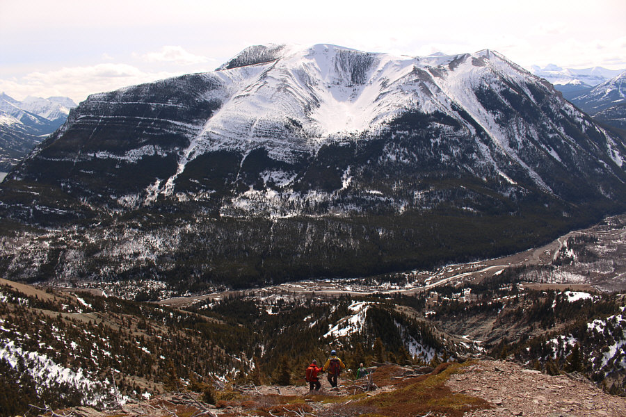
Mount Crandell dominates the view across the valley as the group descends the slopes below the false summit.
There are probably better routes to take than this one... 
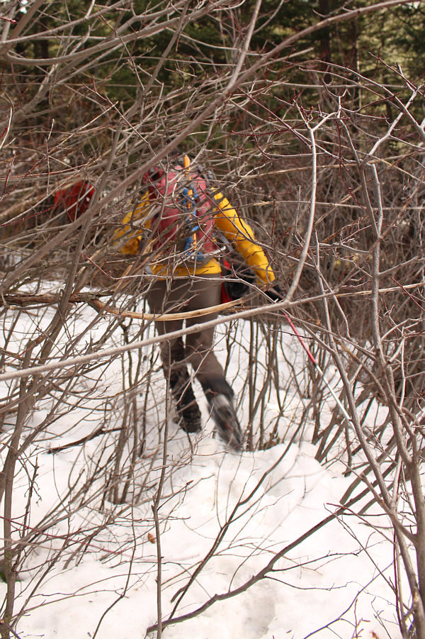
There is a little bit of post-holing and bushwhacking just before reaching the road.

Joanna is probably just itching to take off and run!

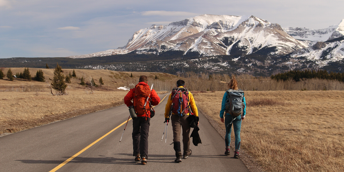
Raff, Andrew and Joanna walk back along scenic Red Rock Parkway.
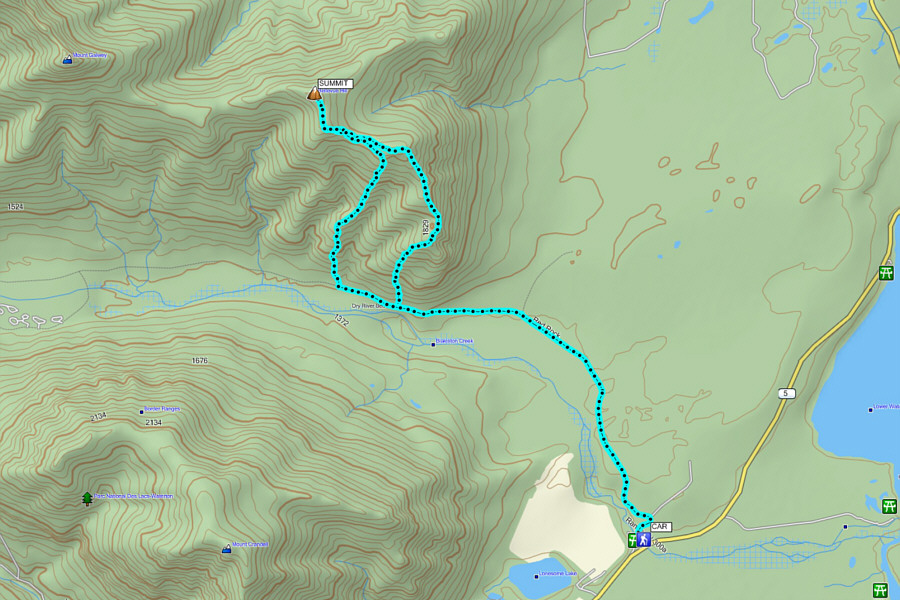
 

A fabulous outing with some fabulous people! Total Distance:  14.7 kilometres
Round-Trip Time:  5 hours 26 minutes
Net Elevation Gain:  814 metres

GPX Data