 |
Zosia watches the sunrise over Smoky Mountain from a bluff near Bath Rock. |
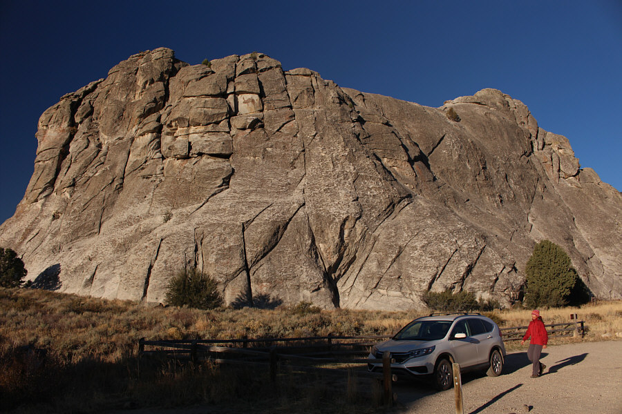 |
The morning sun nicely illuminates Bath Rock. |
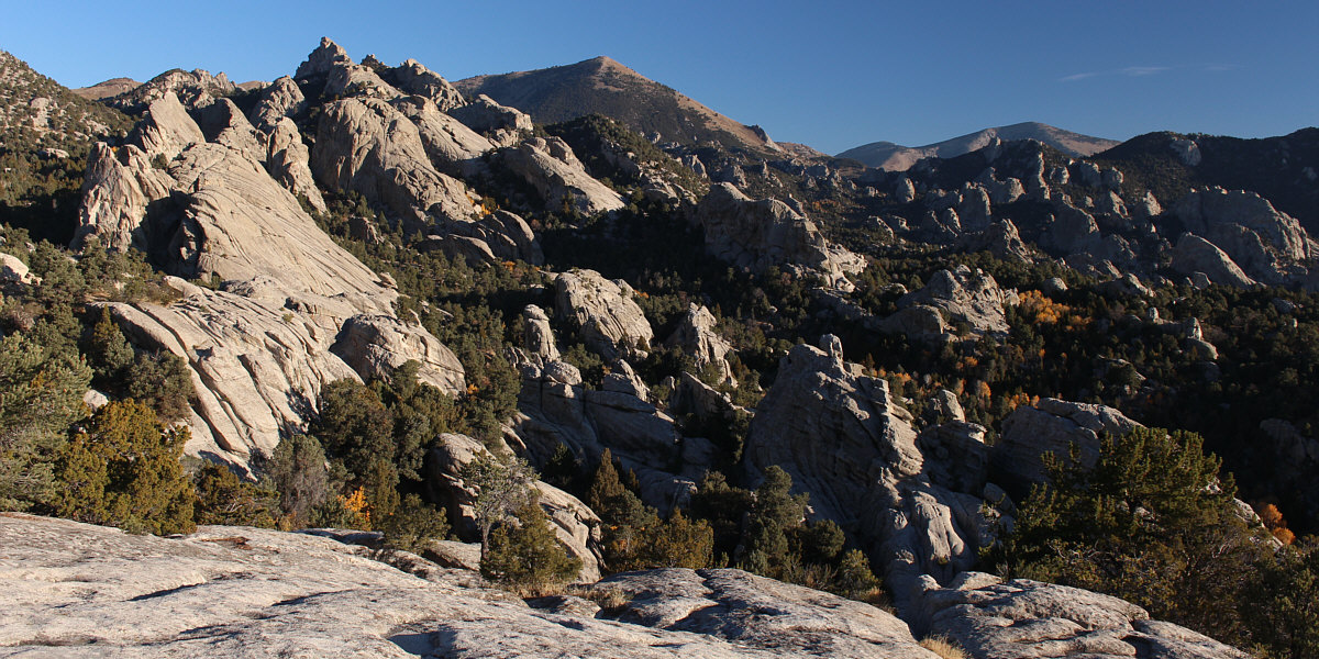
Here is a comprehensive view of City of Rocks with Graham Peak (centre) and Cache Peak (right) in the background.
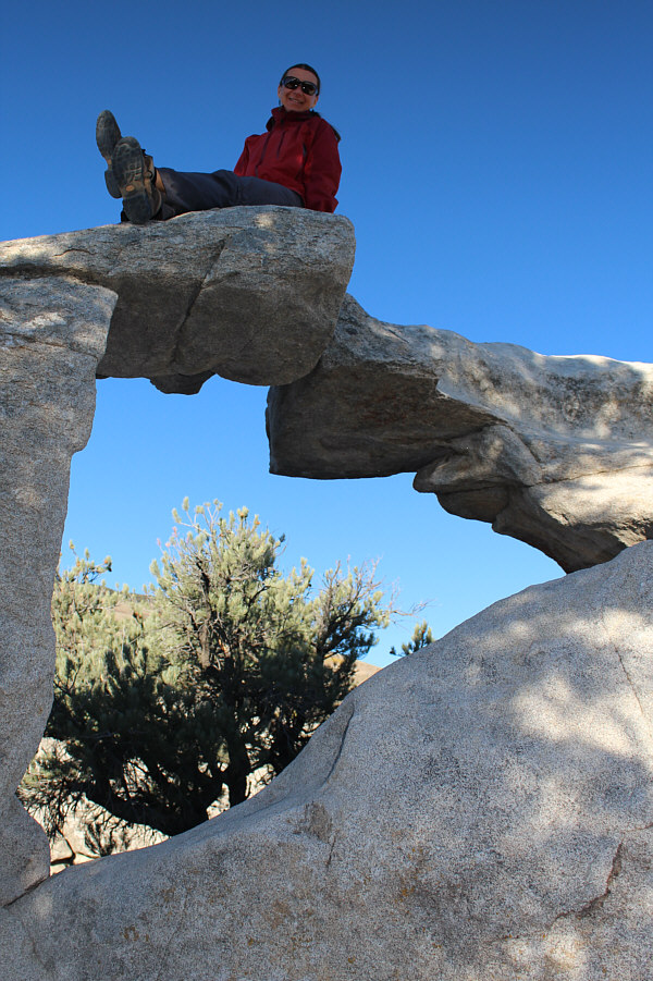 |
Window Arch is a short walk from the road. |
 |
Zosia balances atop Window Arch. |
 |
Zosia finds a cozy place to relax along Flaming Rock Trail. |
 |
There is a steep drop on the other
side of this hole in Flaming Rock. Photo courtesy of Zosia Zgolak |
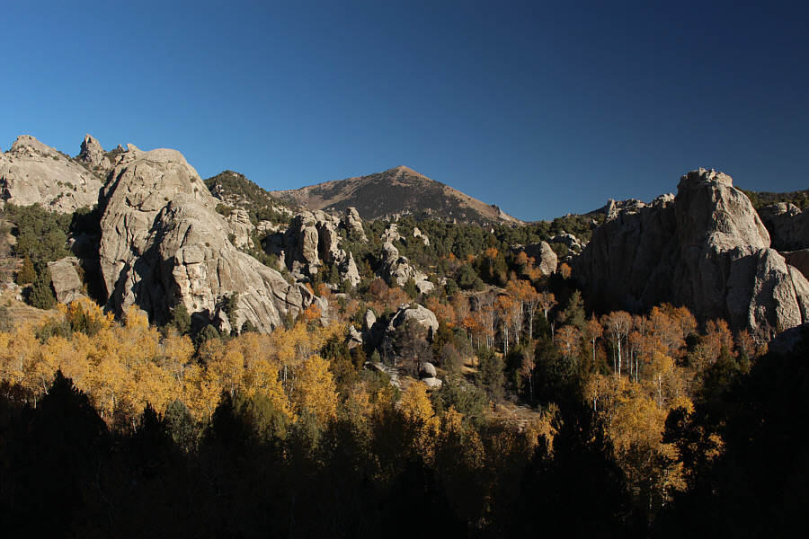 |
Fall colours abound in City of Rocks on this day. |
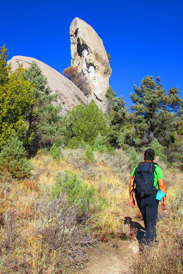 |
Sonny approaches Lost Arrow. Photo courtesy of Zosia Zgolak |
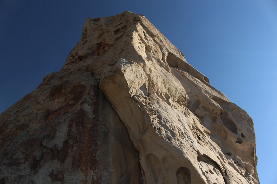 |
This is looking up the south side of Lost Arrow. |
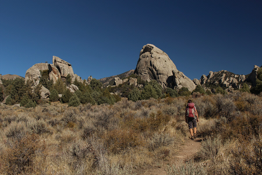 |
Zosia approaches Stripe Rock (right of centre). |
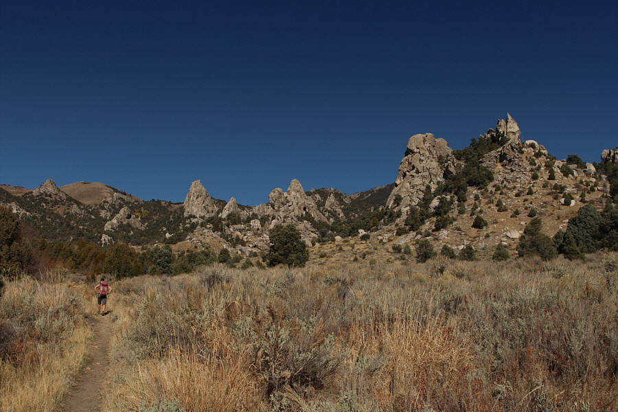 |
The trail along North Fork Circle Creek passes these pinnacles and eventually loops back to the road. |
 |
Zosia does her best impression of Box Top Rock. |
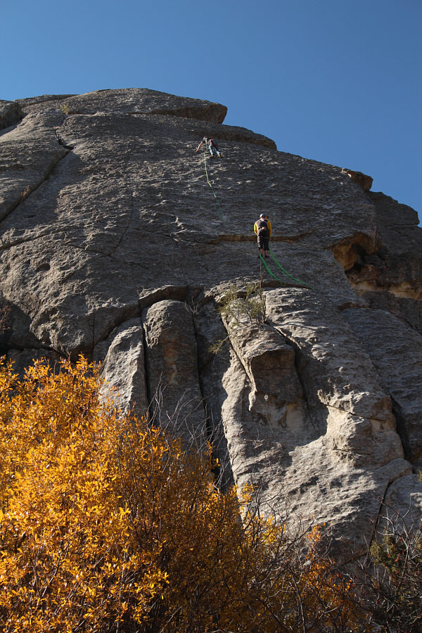 |
Some rock climbers are in action on Flaming Rock. This is a sport climbing route known as Raindance and is rated as 5.7. |
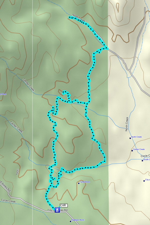 |
Total
Distance: 8.6 kilometres Round-Trip Time: 3 hour 50 minutes Total Elevation Gain: 342 metres |