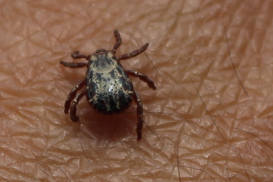


This is a good reminder to be vigilant when hiking in and around Glacier National Park.
Photo courtesy of Zosia Zgolak

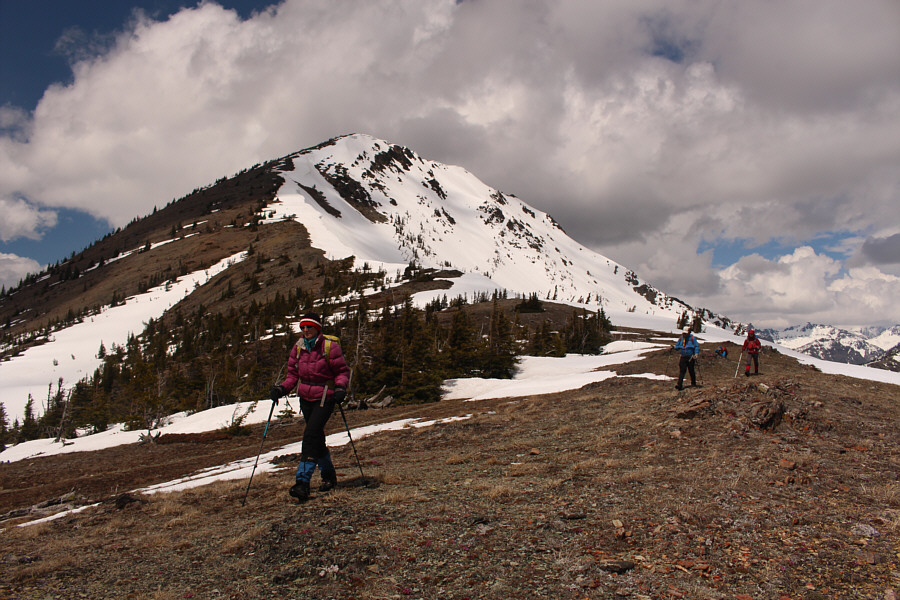
Zosia and Eva ascend the south ridge of Elk Mountain.

|
|
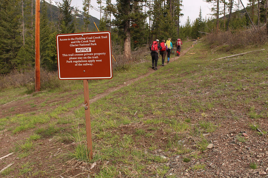
The group starts hiking from the trailhead. |
|
|
Right off the bat, a tick is found crawling on Sonny. |
|
|
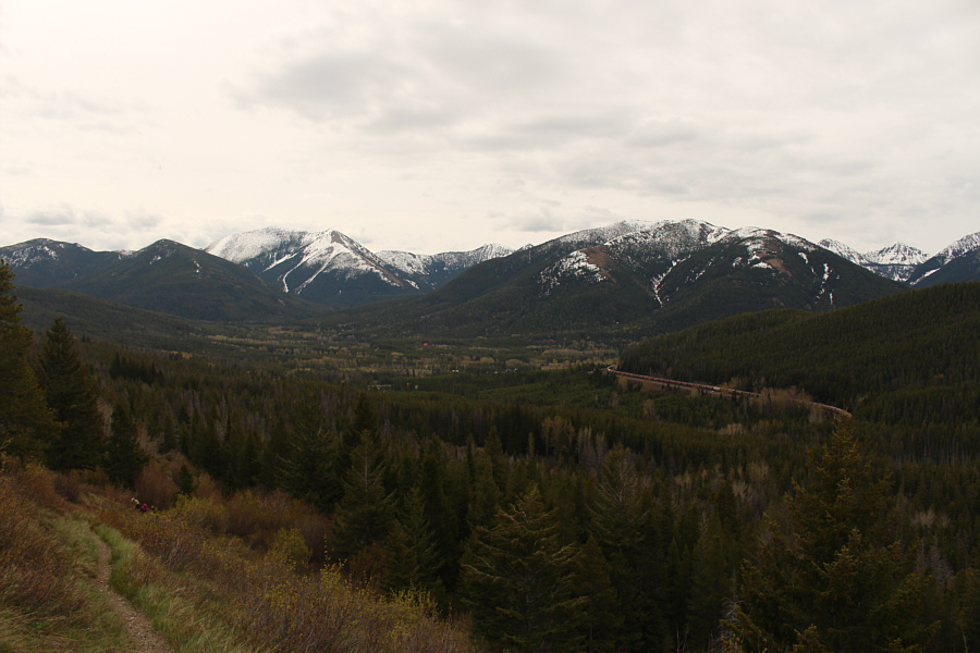
The south ridge of Elk Mountain is visible at right on the approach. |
|
|
This is a good reminder to be vigilant when hiking in and around Glacier National Park. Photo courtesy of Zosia Zgolak |
|
|
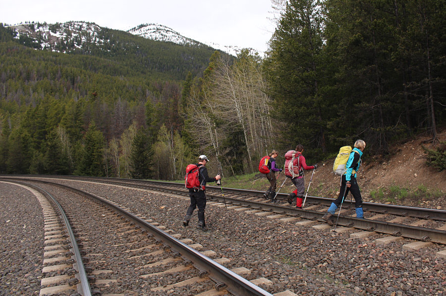
The group quickly crosses double railroad tracks. The trail continues into the forest near the aspen trees at centre. |
|
|
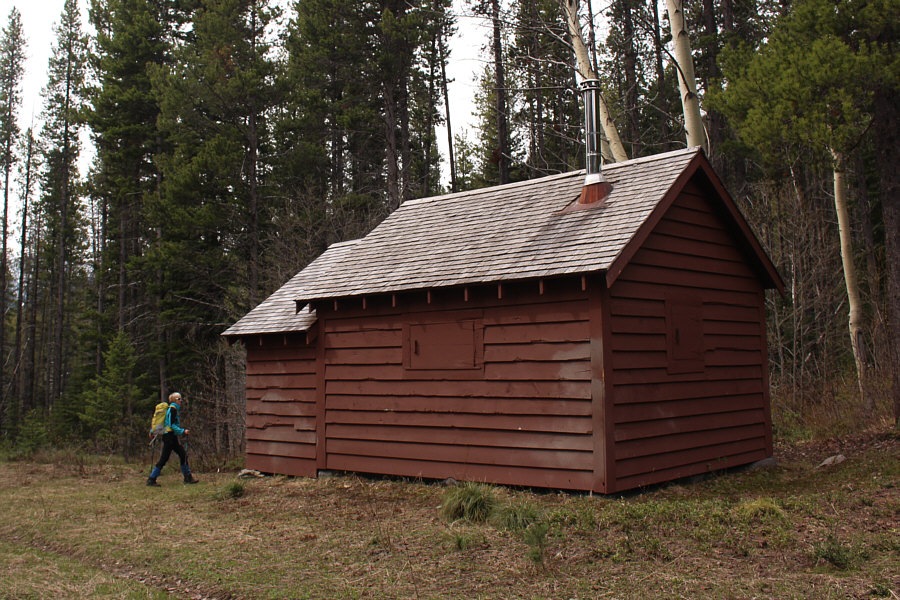
Marta checks out the Fielding Patrol Cabin. |
|
|
A train rolls through the valley bottom in this view from the lower slopes of Elk Mountain. |
|
|
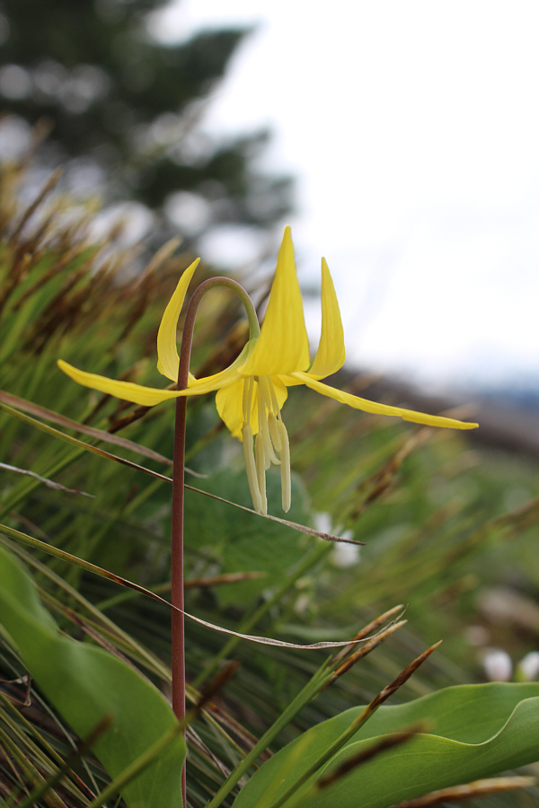
Here is one of the many glacier lilies in bloom on the open slopes of Elk Mountain. |
|
|
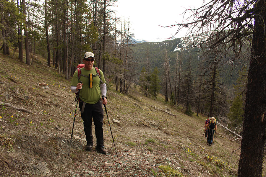
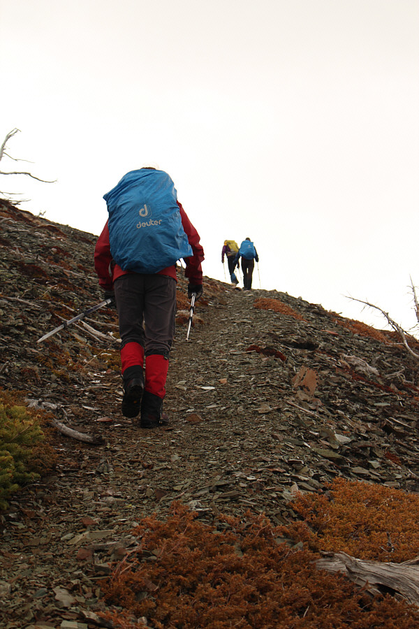
John leads the way as the group climbs up the relentlessly steep trail. |
|
|
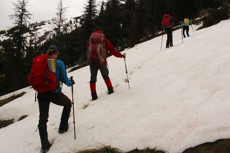
The group heads directly uphill after losing the trail in the snow. |
|
|
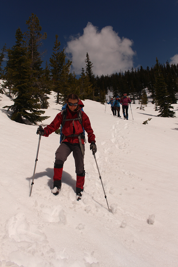
A little wet after a brief rainstorm, Zosia follows the others into the trees just below the ridge crest. |
|
|
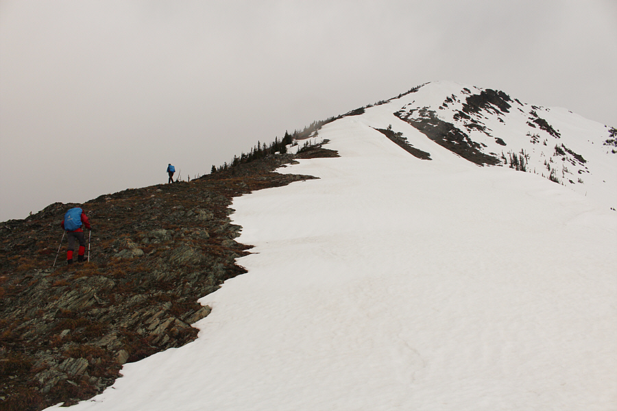
Zosia and Eva ascend the south ridge of Elk Mountain. |
|
|
Even on the upper mountain, the trail is relentlessly steep. |
|
|
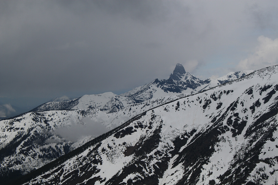
Mount Saint Nicholas sticks up like a sore thumb to the northwest. |
|
|
The mist clears to reveal Little Dog Mountain to the northeast. |
Marta, Eva, Sonny, John and Zosia stand together on the summit of Elk Mountain (2391 metres).
 |
Behind John and Eva are the southernmost peaks in Glacier National Park. Most of the remaining peaks on the horizon are outside the park in Flathead National Forest including Mount Furlong at far left. |
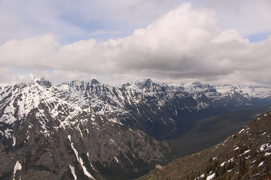 |
Recognizable peaks to the north include (L to R) Sheep Mountain, Brave Dog Mountain, Mount Despair (centre) and Grizzly Mountain. |
 |
The group descends the south ridge of Elk Mountain. |
 |
This is looking back at the snowy east face of Elk Mountain from the south ridge. |
 |
Zosia leads the others in plunge-stepping down the southwest slopes. |
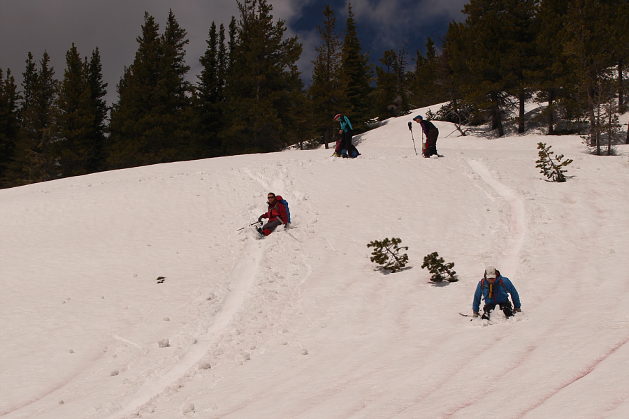 |
Zosia and John have a glissade race while Marta and Eva prepare for the second heat. |
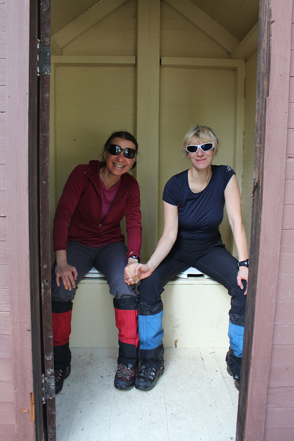 |
Back at Fielding Patrol Cabin, Zosia and Marta hold hands while taking a 'test drive' on the tandem pit toilet. |
 |
Total
Distance: 11.8 kilometres Round-Trip Time: 6 hours 29 minutes Net Elevation Gain: 1021 metres |