BOU AVENUE
Hayden Peak, Silver City And Bruneau Dunes

The Owyhee Mountains of southwestern Idaho are like the proverbial blank spot on a map.  The area is sparsely-inhabited and has a distinctly remote and wild feeling about it.  Zosia Zgolak and I made plans to hike up Hayden Peak, the highest point in the range, on 17 October 2017, and depending on how much daylight we had left, we also wanted to visit the local ghost town of Silver City.

We referred to Tom Lopez's excellent book, Idaho: A Climbing Guide, for directions to climb Hayden Peak.  The approach road (sometimes referred to as Lineham Flat Road) starts from Silver City Road about 800 metres east of Slaughterhouse Gulch (this is the T-intersection with the road that enters Silver City; there is an outhouse here) where Zosia and I had camped the previous night.  The road turned out to be in such good condition that we actually ended up driving all the way to the summit!  A work crew arrived shortly after us to service the communication installations at the top, and that may explain why the road was so well-maintained and drivable.  The work crew did not seem to mind our presence, but Zosia and I left anyway soon after we finished watching the sunrise.
Didn't even break a sweat! 
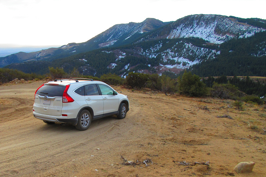
Zosia raises her arms in triumph after arriving at the summit of Hayden Peak (2561 metres) by car.
My jacket matches the horizon! 
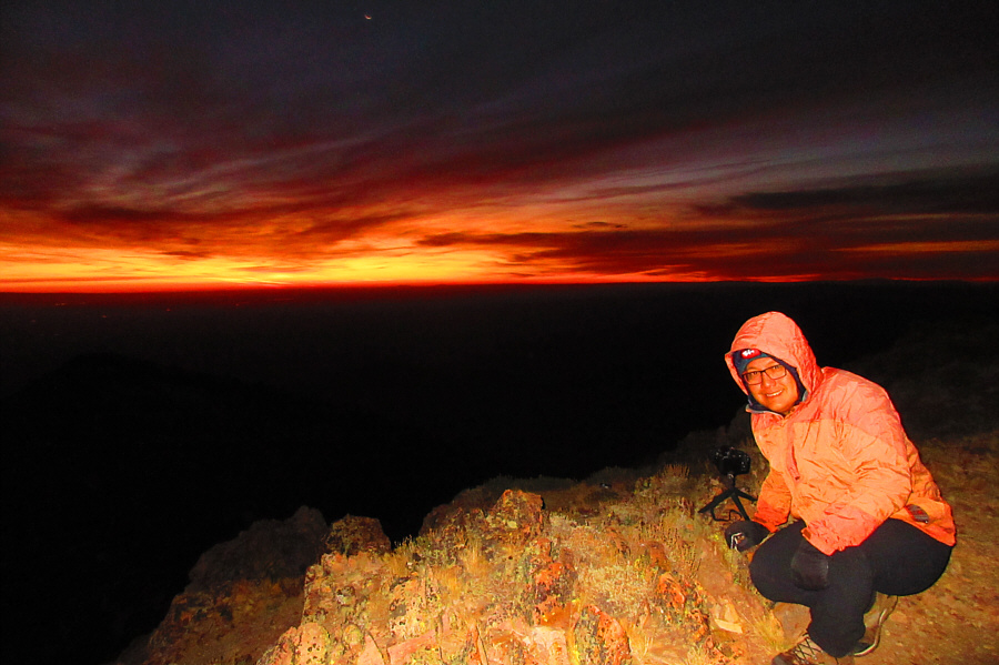
Sonny sets his camera up to take some sunrise photos.

Photo courtesy of Zosia Zgolak

The rock here must be terrible if they have to set it in concrete! 
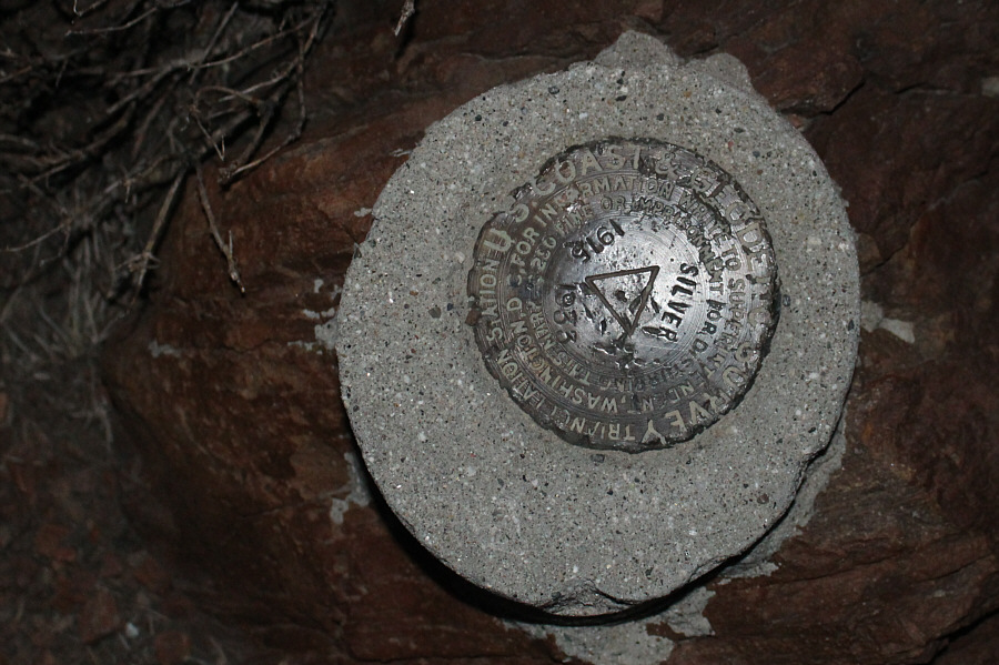
Here is the survey marker for the summit of Hayden Peak.
I should be able to get good reception here for farmer-vision TV! 
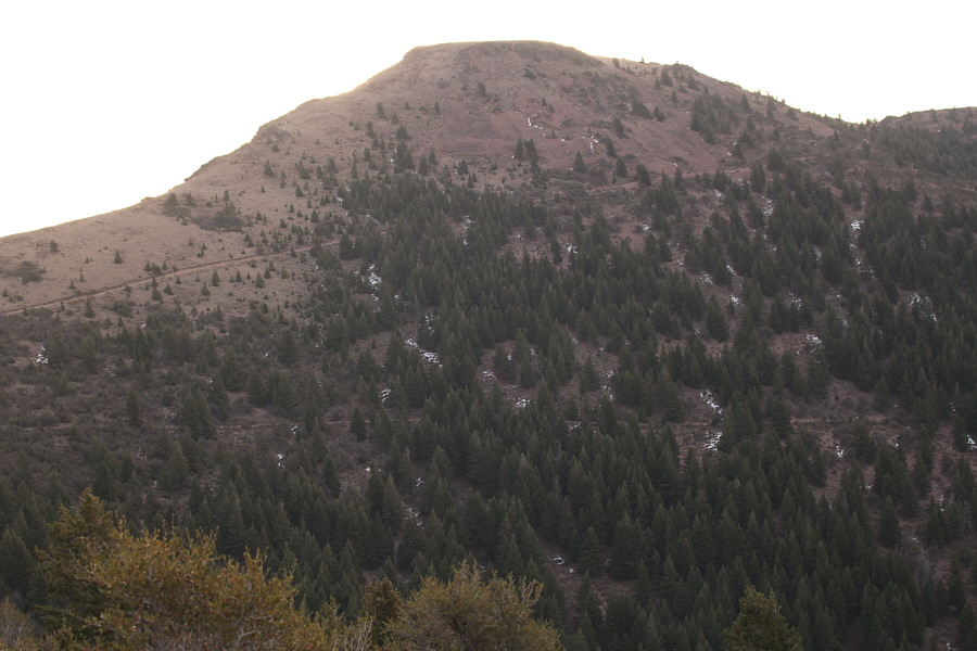
Communication installations clutter the summit of Hayden Peak.
Red sky at night, sailors' delight. Red sky at morning, sailors take warning. Clouds glow in the pre-dawn sky.
Wonderful hues! 
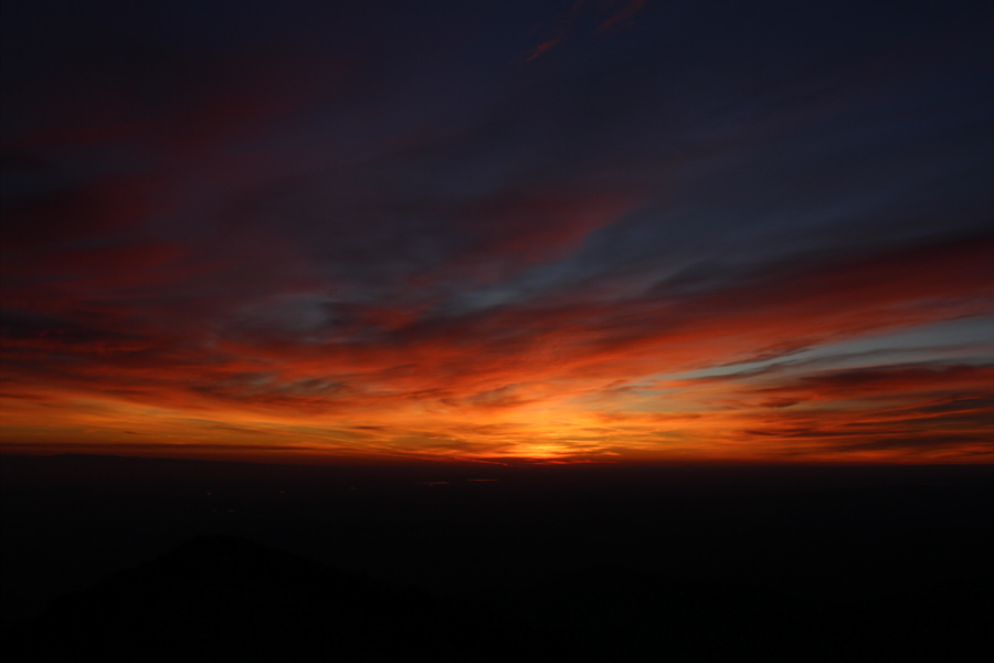
Different colours abound in the eastern sky.
Looks like great ridge-walking country! Idaho's Snake River Plain can be seen beyond the foothills north or Hayden Peak.
Cue the theme from "2001: A Space Odyssey" (Richard Strauss's "Also sprach Zarathustra"). 
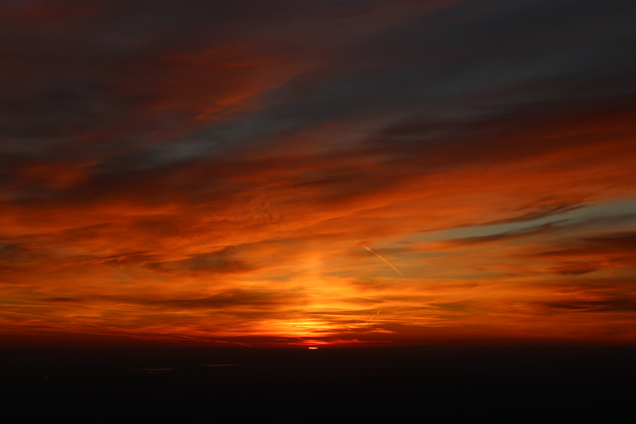
The sun makes its first appearance of the day on the horizon.

Goooooooooooooooooooooooooooood morning, Idaho!

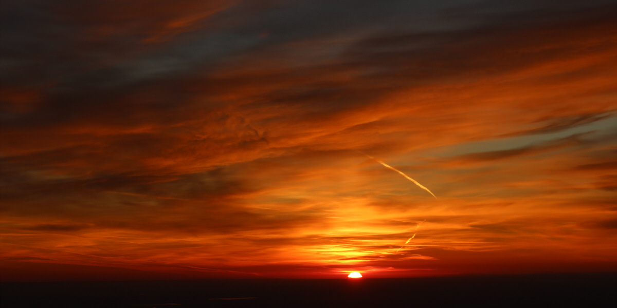
It is the dawn of a new day in Idaho.


Those looking for a more sporting ascent may consider hiking up the left-hand ridge. Two roads diverge on the east face of Hayden Peak.
My front right tire is looking really flat! Here is another look at Hayden Peak (centre) from the north along the approach road.

Photo courtesy of Zosia Zgolak

Zosia and I subsequently made a quick stop at an old cemetery before driving into Silver City which was at one time a thriving mining community during the late 1800s.  Following the eventual demise of mining operations, this one-time county seat slowly devolved into the ghost town that it is today.  Perhaps because of its isolation, Silver City was spared the devastation--usually from fire--that befell many other ghost towns.  Furthermore, the town was not completely abandoned and is still inhabited by a handful of seasonal residents.  Despite the rustic exteriors, many of the buildings appeared to be well-maintained or were undergoing restoration.  "No Trespassing" signs were everywhere.  According to the proprietor of the town's lone hotel, Silver City actually receives a lot of visitors during the summer months as evidenced by the numerous public outhouses scattered throughout the town.  The hotel had actually just closed for the season when Zosia and I arrived, but the proprietor still allowed us to go inside and visit the main dining parlour.

After leaving the hotel, Zosia and I ate a quick lunch before driving out of the Owyhee Mountains.  We had originally arrived from the west via Jordan Valley, Oregon, and the hotel proprietor advised us to leave the same way since she was concerned about possible ice and snow on the steeper eastern access via Highway 78 south of Murphy, Idaho.  I was not nearly as worried especially after driving all the way up Hayden Peak earlier in the day.  Since we had plenty of gas (by the way, there are no gas stations in Silver City), Zosia and I agreed to give the eastern access a try, and although there were some snow patches in some of the shadier sections of the road, we had no issues driving out that way.
This is supposedly one of only four marked graves here. 
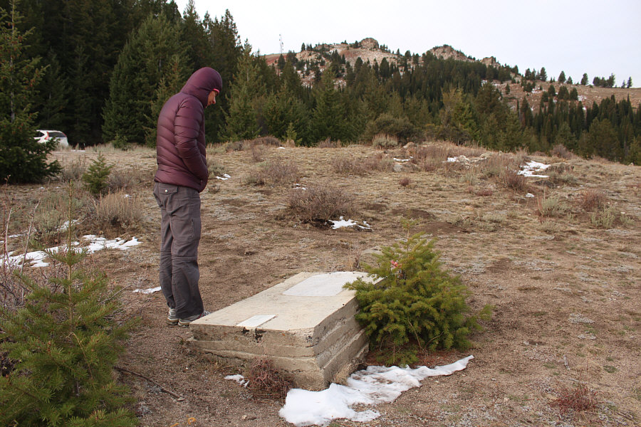
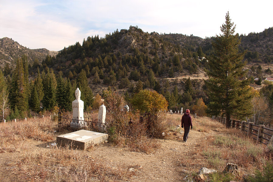
Zosia visits Fairview Cemetery which is located on the slopes of War Eagle Mountain (the summit antenna can be seen in the distance).  There apparently used to be a town here, but most of the buildings were lost to fire.
R.I.P. 
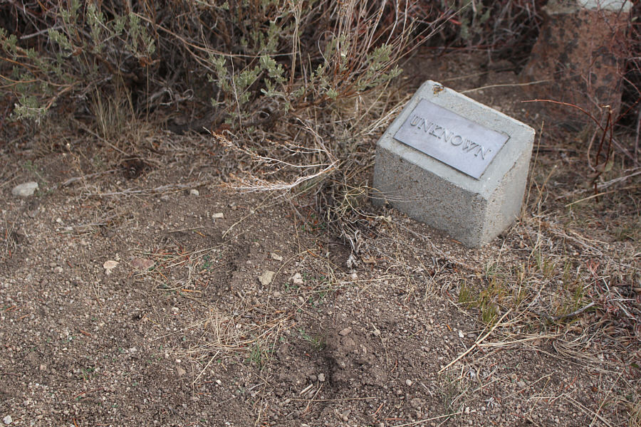
Most of the graves in Fairview Cemetery are unmarked like this one.
Heeeeeeere's Johnny!!! This is the entrance to Silver City.

Photo courtesy of Zosia Zgolak

Apparently, there used to be a miniature barroom scene inside the vat, but it has been stolen or destroyed by vandals. Zosia checks out a brewery vat on the street.
Hopefully the building has flood insurance! This building actually straddles the creek running through the town.
Only by appointment, eh? What if I have to "go" really bad?? 
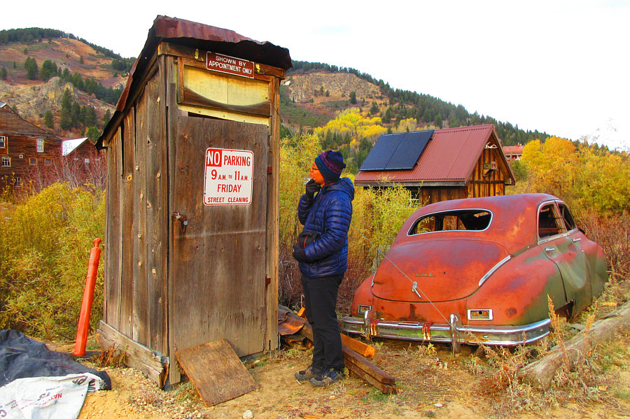
Sonny ponders the validity of the sign on this outhouse.

Photo courtesy of Zosia Zgolak

Very old school! Being a teacher, Zosia is intrigued by the town's school house.
Good Lord! 
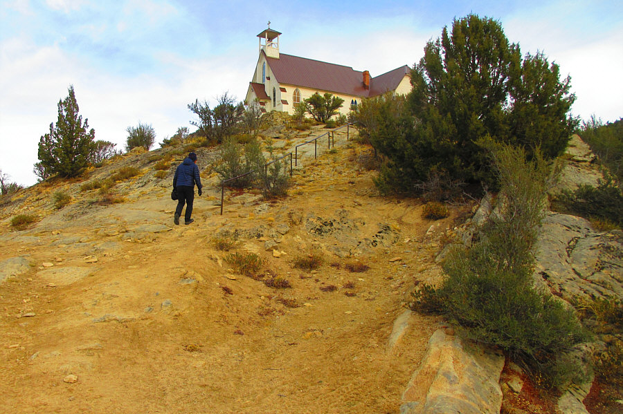
The town's church is not handicap accessible.

Photo courtesy of Zosia Zgolak

Many of the graves are for children that died quite young. 
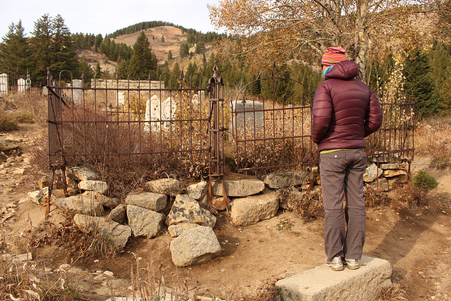
Zosia visits the Silver City cemetery.
A nice quite spot to spend the rest of eternity... The Silver City cemetery overlooks Jordan Creek valley.
I've stayed at worst places... 
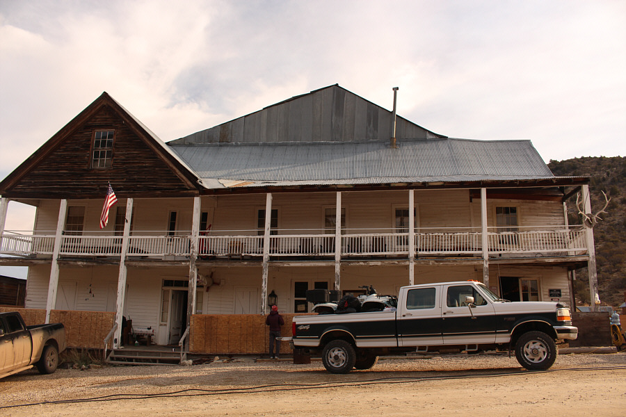
The Idaho Hotel has just closed for the season.
Looks like they take Mastercard or Visa but not American Express! 
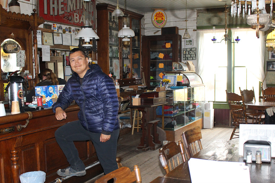
Sonny steps up to the bar in the dining parlour of the Idaho Hotel.
With a lot of daylight left, Zosia suggested visiting Bruneau Dunes State Park after spotting it on our Idaho highway map.  The park is located just east of its namesake town near the junction of Highways 78 and 51.  The main attraction is a large sand dune touted as "the tallest single-structured sand dune in North America" according to the park's website.  After paying the vehicle entry fee ($5.00 USD) at an unmanned gate, we stopped briefly at the visitor information centre to pick up a map before driving to the park's centrally-located picnic area.  From there, we set off on foot and followed a designated trail past the "Big Lake" which sits at the base of the "Big Dune".  We then churned our way up to the high point of the Big Dune, a sandy endeavour which turned out to be more strenuous than expected.  From the high point, we traversed along the crest of the Big Dune before dropping down its northeastern end to complete a circumnavigation of the Big Lake.  Because of thick vegetation along the lakeshore, some bushwhacking and route-finding were required to get us back to our starting point.  We concluded our visit by having dinner in the picnic area before driving out of the park.
The lake smells a bit "fowl"... 
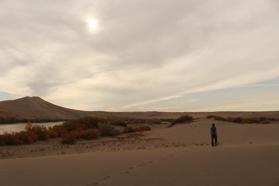
The Big Dune is reflected in the Big Lake.  Note the hikers on the crest of the dune.
Hisssssssssssssssssssss... A gopher snake quickly retreats under a shrub after nearly being stepped on by Zosia.

Photo courtesy of Zosia Zgolak

Unexpectedly pretty! 
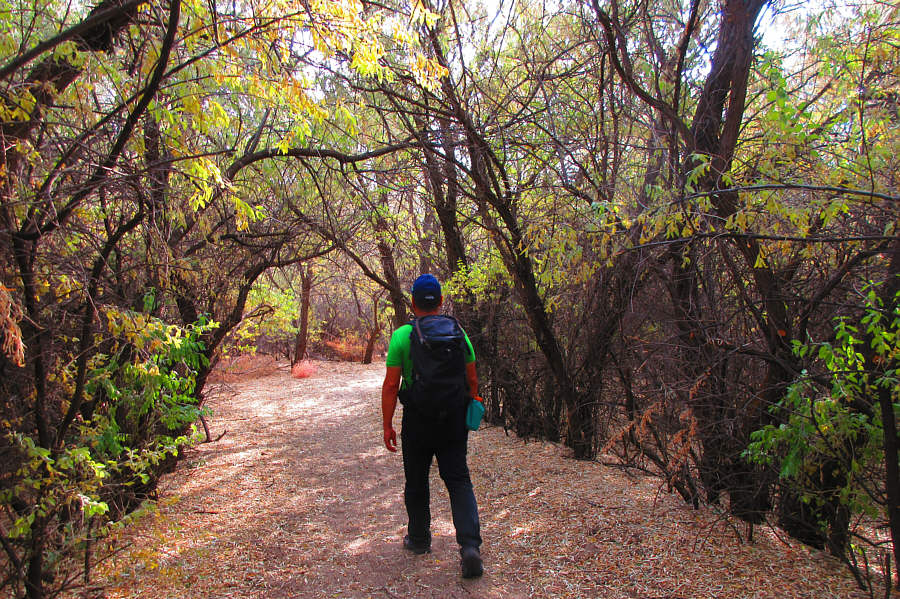
The designated trail goes through a short section of forest.

Photo courtesy of Zosia Zgolak

Days later, I would still be dumping sand from my boots! 
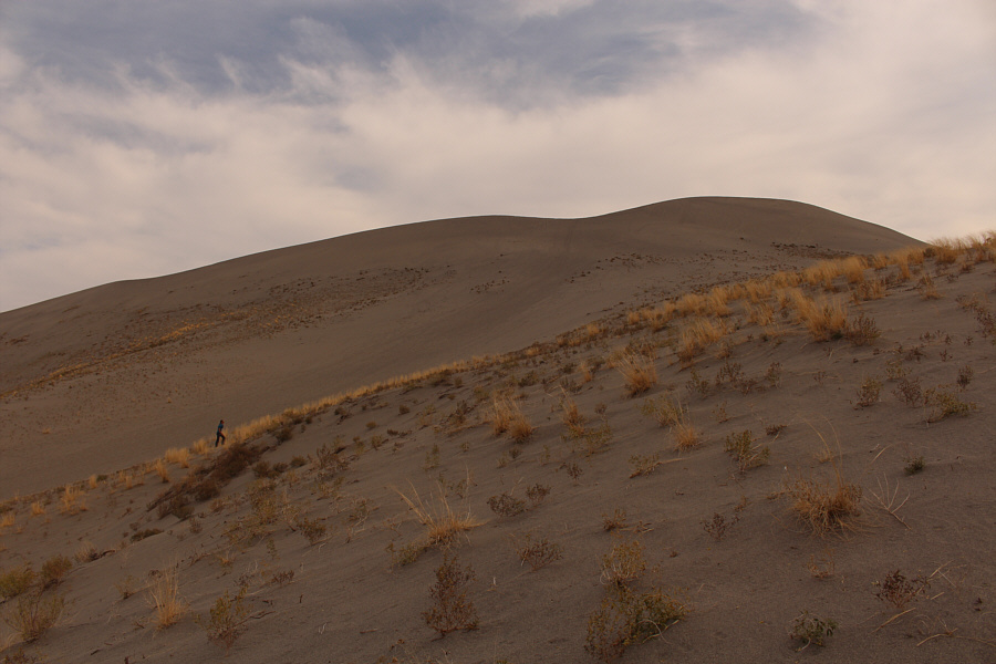
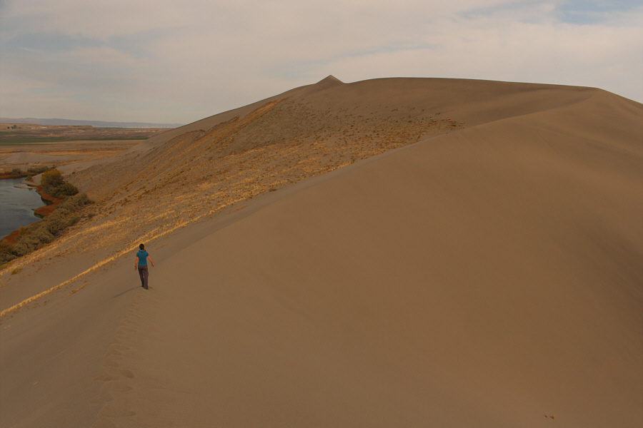
Zosia climbs up the Big Dune.
Almost as bad as treadmill scree... 
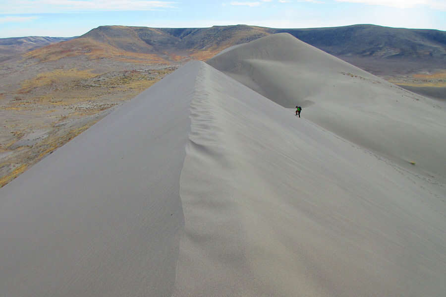
Sonny grinds his way up to the crest of the Big Dune.  The high point is visible behind him.

Photo courtesy of Zosia Zgolak

We should have rented a "sandboard"! Zosia heads for the high point of the Big Dune.
Sometimes it was easier to walk slightly off the crest. 
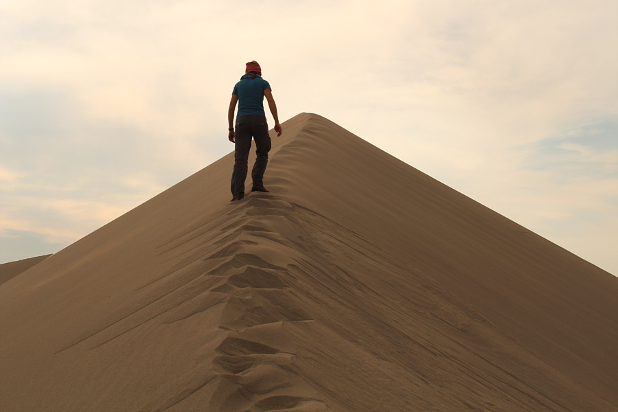
It is not easy to maintain balance while climbing up the crest of the sand dune.
This was by far the warmest hike of our road trip. Sonny and Zosia reach the high point of the Big Dune (891 metres).
We had the whole dune to ourselves on this afternoon! 
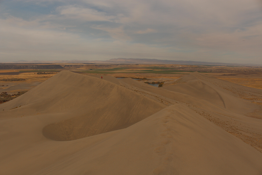
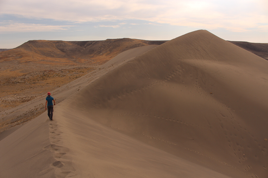
After leaving the high point, Zosia heads northeast along the crest of the Big Dune.
Baby dunes? Some smaller sand dunes lie to the west of the high point.
The return route looks innocuous enough from here... 
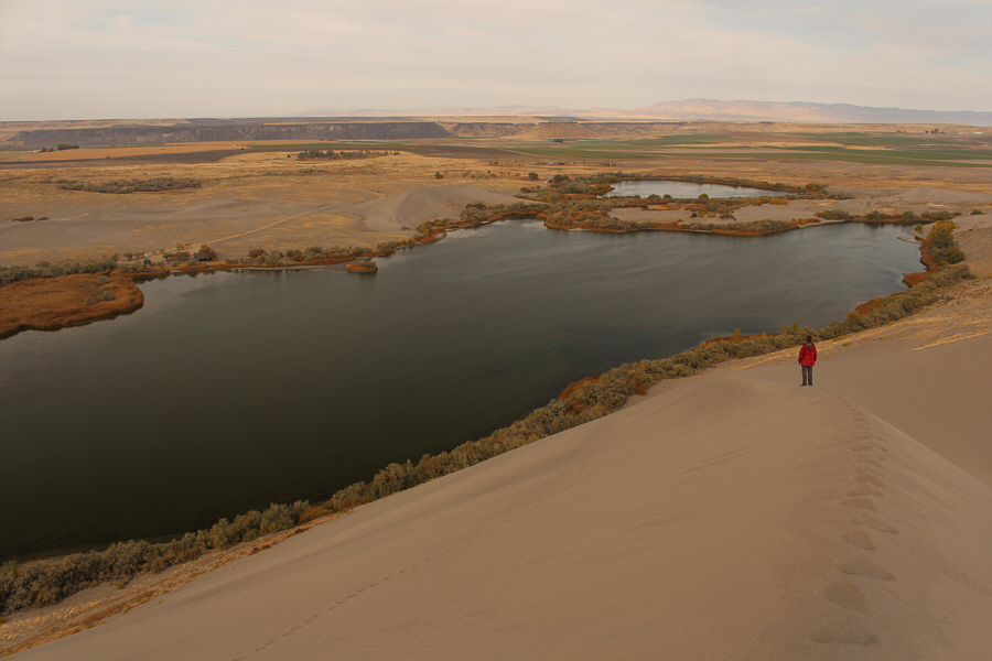
Beyond the Big Lake are the Small Dune (left of centre) and the Small Lake.  Zosia and Sonny would eventually return to the picnic area (far left) along the far shoreline of the Big Lake.
Cue the theme from "Lawrence of Arabia"! Zosia continues hiking along the crest of the Big Dune.
I wonder if AST1 would be helpful here... Small sand avalanches are created with each footstep along the crest of the dune.

Photo courtesy of Zosia Zgolak

Not as straightforward as it looks! Zosia hikes back to the picnic area along the sandy flats north of the Big Lake.
Who knew there were sand dunes in Idaho? Total Distance:  5.0 kilometres
Round-Trip Time:  2 hours 19 minutes
Net Elevation Gain:  128 metres

GPX Data