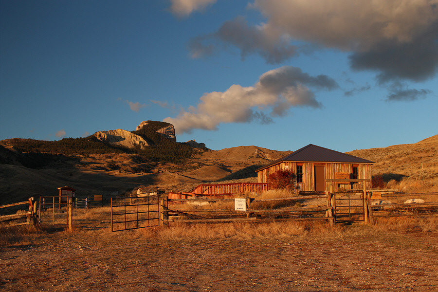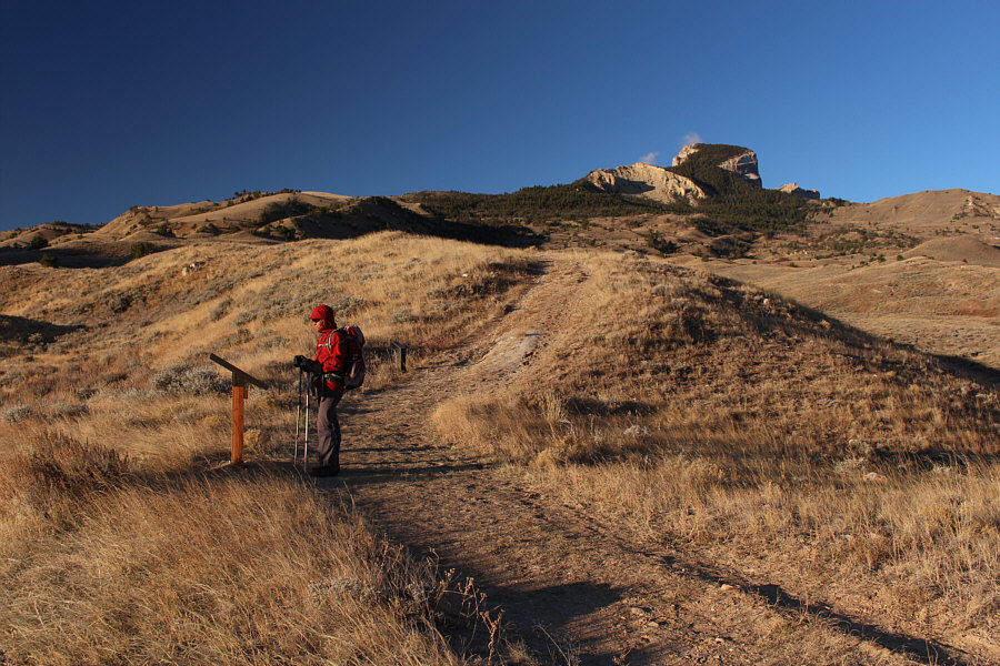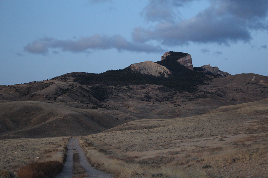
After sleeping in Cody the previous night, Zosia and I woke up early on the morning of 21 October 2017 and spent about an hour driving to the interpretive centre (there is an outhouse and ample parking here). Beyond the interpretive centre, the trail climbs gently through rolling foothills to the forested base of Heart Mountain. The wind was really howling on this day, but since we were approaching the lee side of the mountain, we were largely sheltered from the full brunt of the wind. Interpretive signs are spaced regularly along the trail all the way up the mountain, and we stopped to read almost every one of them. This slowed our progress somewhat, but it also made for a more relaxed and enjoyable ascent.
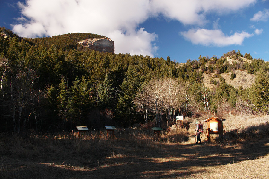
Upon entering the forest at the base of Heart Mountain, Zosia and I passed an information kiosk which serves as a secondary trailhead for a longer alternative approach via a road to the north (the access to this road is about 1.2 kilometres east of the interpretive centre). Beyond the kiosk, the trail makes a few sweeping switchbacks up the east side of the mountain before ending at a large register box near the summit. We braved the chilly wind for a few summit photos before retreating to the shelter of a nearby tree to eat lunch and sign the register book. When we were ready to descend, we uneventfully retraced our steps back down the trail and out to the interpretive centre.
On our drive out, Zosia and I stopped just before the main highway to visit a memorial dedicated to the thousands of Japanese Americans who were evicted from the west coast and incarcerated near Heart Mountain during the Second World War. For many of them, Heart Mountain came to symbolize hope and freedom in an unjust situation. More than a few of them have returned and added their names to the summit register book.
Heart Mountain marked the end of another crazy road trip for Zosia
and me which saw us visit 6 US States and tag 14 summits. We drove
over 7300 kilometres and had 1 flat tire (just like our road trip in
October 2016). We slept 2 nights
in hotels, 1 night in Zosia's tent, and 13 nights in the back of my Honda
CR-V (including 1 night in a Walmart parking lot which turned out to be
one of the best sleeps we had on our trip).
Best of all, I got to share the entire journey with my plucky Polish
girlfriend whom I would like to thank for constantly allowing me to sleep
a few extra minutes while she usually got out of the car before dawn to
make herself breakfast in sub-zero temperatures. Kocham cię,
Zosia! The windy conditions on this day
are somewhat offset by the pleasant sunshine. Photo courtesy of Zosia Zgolak A rather elaborate register box
awaits hikers near the summit. Sonny and Zosia stand on the summit of Heart
Mountain (2476 metres).
A good gravel road leads to Heart
Mountain.
The trailhead is located beside Heart
Mountain Interpretive Center.
Zosia stops at one of the many
interpretive displays along the trail.
Closer to the mountain,
the trail climbs a bit more steeply.
This is a secondary
trailhead for an alternate approach along a jeep road further to the
north.
There are some big cliffs on the north
side of Heart Mountain.
Sonny squats inside a shallow cave
along the trail.
Zosia gets her first look at some
cliff bands on the south side of Heart Mountain.
Zosia approaches the summit which is
just beyond the trees.
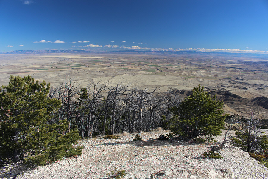
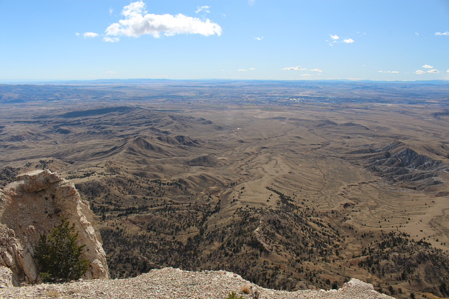
The town of Cody can be seen in the
distance to the south.
The pinnacle at the west
end of Heart Mountain is about 52 metres lower than the true summit.
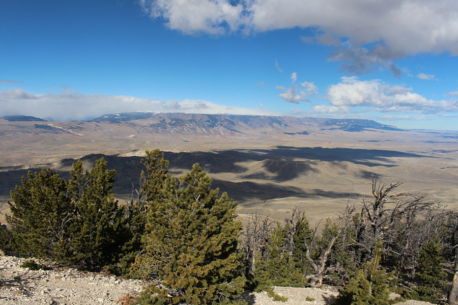
Beartooth Mountains
stretch across the northwest horizon.
On the eastern horizon
are McCullough Peaks.
Zosia stands among the
grass near the former Heart Mountain Relocation Center which was an
internment camp for Japanese Americans displaced from the west coast
during the Second World War.
Total
Distance: 12.4 kilometres
Round-Trip Time: 5 hours 12 minutes
Net Elevation Gain: 750 metres