

|
|
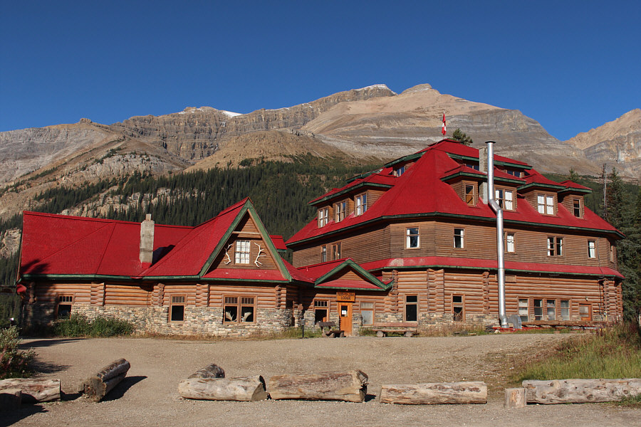
Mount Jimmy Simpson is visible behind historic Num-Ti-Jah Lodge. |
|
|
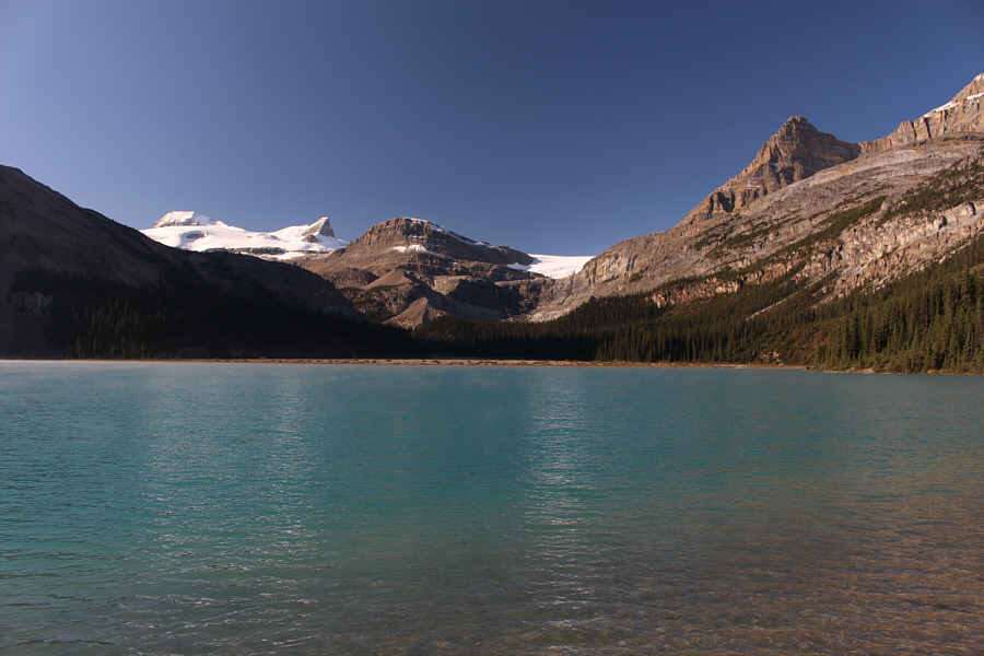
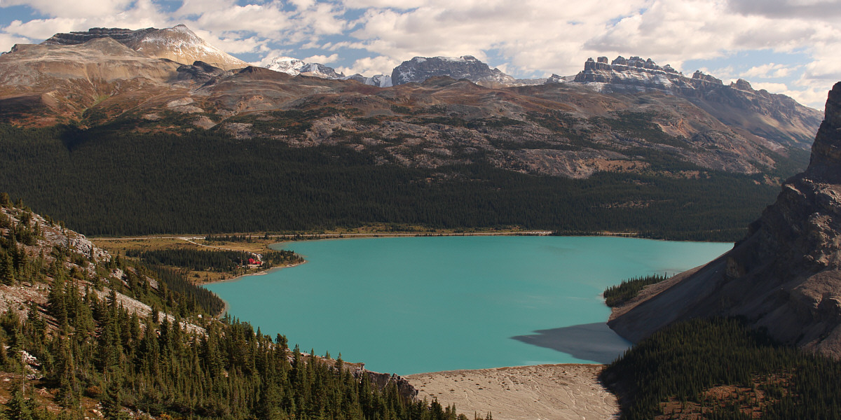
Visible across Bow Lake are Mount Olive, St. Nicholas Peak, the Onion and Portal Peak. |
|
|
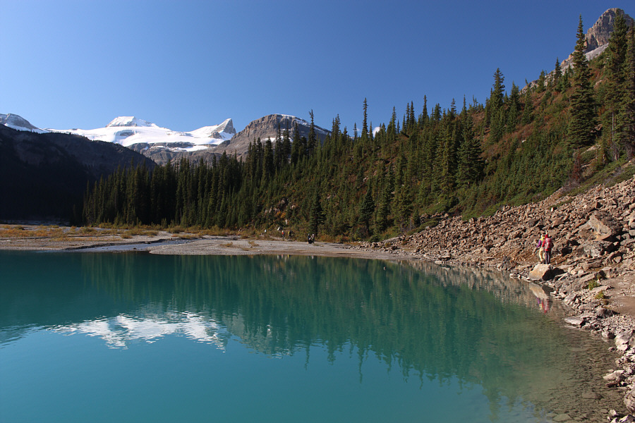
Marta and Zosia approach the inlet creek for Bow Lake. The trail climbs briefly through the trees here only to drop back down to the gravel flats. It is possible to avoid this unnecessary elevation gain by staying close to the creek and heading around the trees to the far left. |
|
|
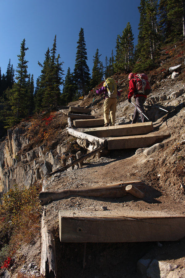
Marta and Zosia climb big steps just before the junction with the trail to Bow Hut. |
|
|
Marta and Zosia enter the bowl below Bow Glacier Falls (left). At top right is Portal Peak. |
|
|
Zosia and Marta climb up the ramp which grants access to Mount Jimmy Simpson. |
|
|
Zosia and Marta pass some interesting rocks higher up the ramp. |
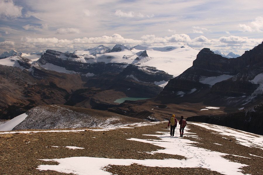
The ramp grants this comprehensive view of Bow Lake. At upper left is Cirque Peak, and at upper right is Dolomite Peak.
 |
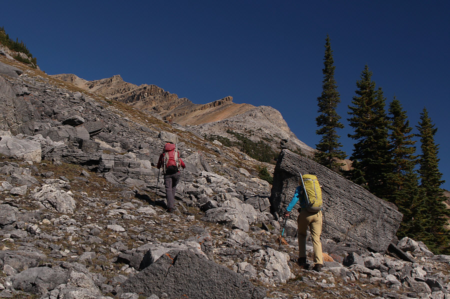
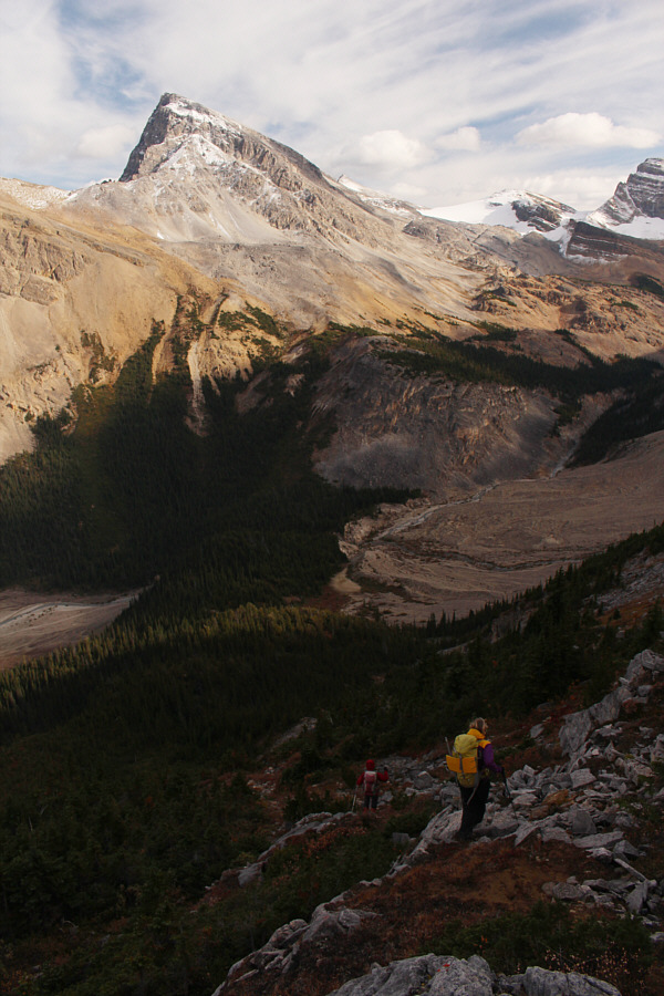
Marta and Zosia enter the valley south of Mount Jimmy Simpson. |
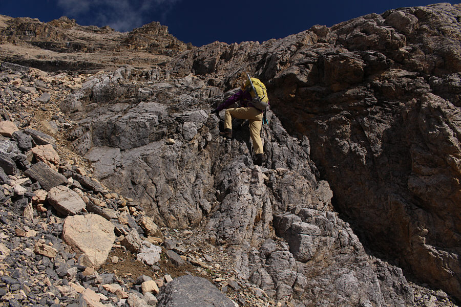 |
Marta finds some nice hands-on scrambling while progressing up the valley. |
 |
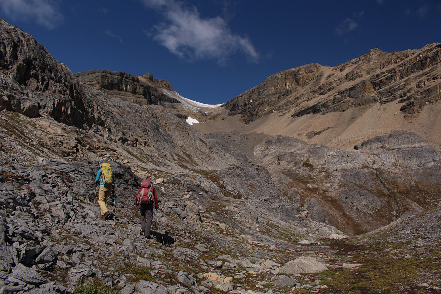
The most unpleasant part of the ascent is climbing the rubble slopes below the saddle. |
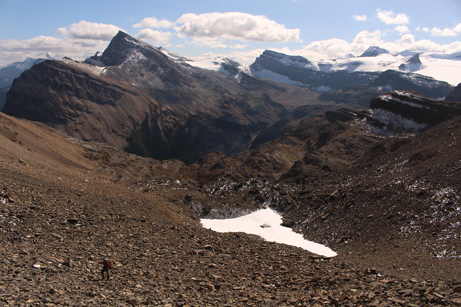 |
The views really open up behind Zosia as she grinds up tedious rubble. |
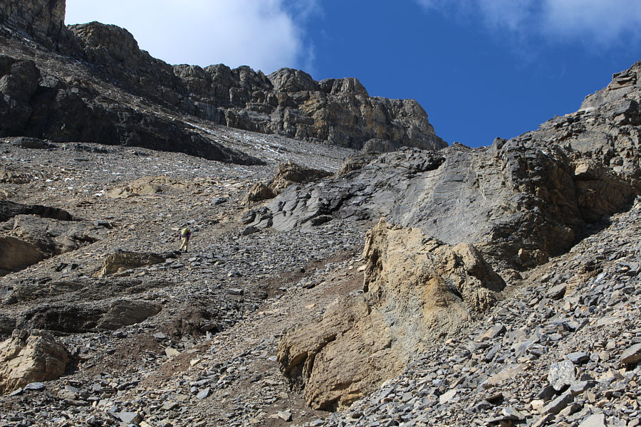 |
Marta makes her way up loose rubble between short cliff bands. |
 |
The angle of the slope relents a bit as Marta and Zosia approach the top of the saddle. |
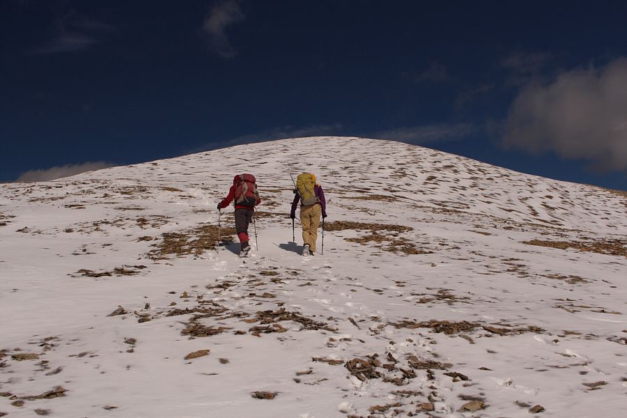 |
The final trudge to the top is long but easy. |

Marta, Sonny and Zosia wield their ice axes on the summit of Mount Jimmy Simpson (2967 metres).
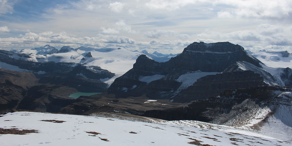
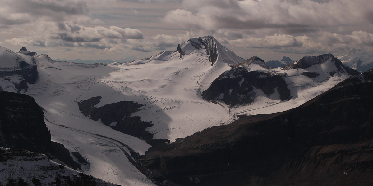
Noteworthy peaks to the south include Mount Balfour, Mount Olive, St. Nicholas Peak, Mount Gordon, Portal Peak and Mount Thompson.
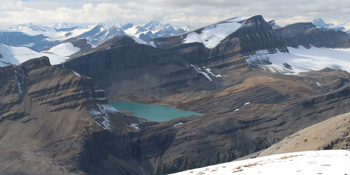
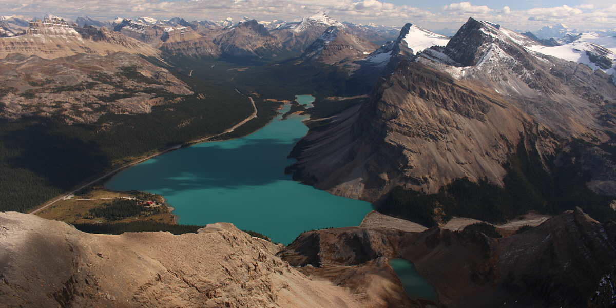
Caldron Lake and Mistaya Mountain (right) garner much attention to the west.
 |
A small section of Peyto Lake can barely be seen to the north. Also visible are Mount Patterson (left) and Mount Weed (right of centre). |
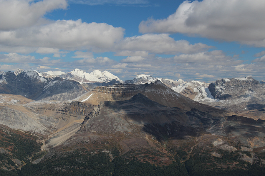 |
Cirque Peak (centre) and Mount Willingdon (left) are among the many peaks visible to the east. |
The view to the west includes Mount Baker (centre) and Trapper Peak (far right).
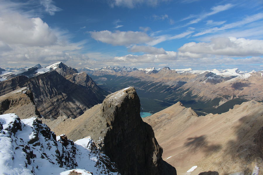
The view to the southeast is largely dominated by Bow Lake.
 |
Marta and Zosia descend amidst some of the finest scenery in the Canadian Rockies. |
 |
Zosia and Marta make their way back down the ramp. The prominent peak in the background is one of the northwest outliers of Crowfoot Mountain. |
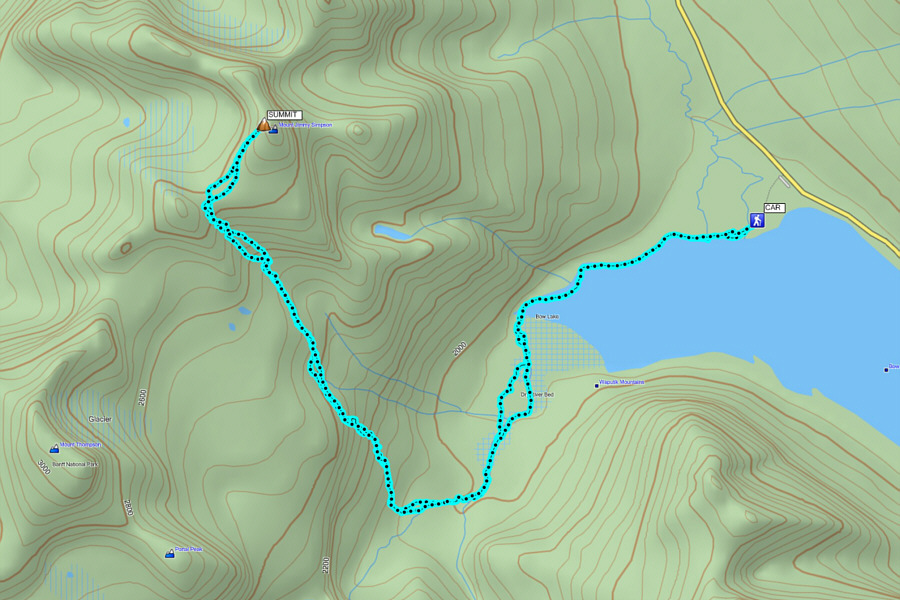 |
Total
Distance: 16.3 kilometres Round-Trip Time: 9 hours 29 minutes Net Elevation Gain: 1018 metres |