BOU AVENUE
Loaf Mountain

After helping Josée Ménard celebrate her birthday the night before in Pincher Creek, Alberta, Asieh Ghodratabadi, Houmaro Kone, Ali Shariat, Dorota Sokolowska, Zosia Zgolak and I joined her for an ascent of Loaf Mountain in nearby Castle Wildland Provincial Park on 16 April 2017.  Also joining us was Alison Sekera who had driven out from Calgary the previous evening.  Knowing that another group of scramblers had recently ascended Loaf Mountain via the southern approach as described in Andrew Nugara's More Scrambles in the Canadian Rockies, Josée chose to take the same route, and the rest of us followed suit.

After gathering at the A&W parking lot in Pincher Creek, we followed Nugara's trailhead description precisely and drove to the gated road just north of the bridge over Spionkop Creek.  Despite all the recommendations to use a bicycle for the numerous long approaches to the peaks in the Castle region, a quick perusal of various trip reports posted online shows that most people generally do not bother with the hassle of bringing bicycles and simply resign themselves to walking the extra distances.  This trip would be no different, but understandably, the logistics of transporting eight bicycles would have been daunting.  Regardless, we took the opportunity to socialize with one another as we walked up the valley on the undulating road.

About six kilometres from the gate, we left the road and ascended the open hillside to the north.  An obvious gully provided us easy access to a large cirque where we paused to survey possible routes to the ridge above.  We eventually settled on climbing up some snow-filled chutes on the east side of the cirque which then gave way to tedious slopes of treadmill rubble.  Because we were unsure about how safe it was to traverse some steep snow slopes on the north side of the cirque, we ended up climbing much higher onto an eastern outlier of Loaf Mountain.  Once we gained the crest of the broad ridge above the cirque, we followed the ridge westward to the main summit block of Loaf Mountain by dropping down to a saddle and then climbing over an intervening minor bump along the way.  While Asieh, Houmaro and Dorota decided to forego climbing to the top of Loaf Mountain because the main summit block was too steep and snowy for their comfort level, the rest of us made it up without any trouble.  Josée and Alison had pushed ahead and did a great job of breaking trail up the summit ridge before waiting at the top for Ali, Zosia and me to join them.  Although conditions were ideal for lingering on the summit, the reality of the long return trip prompted us to get moving once our usual summit photos were taken.

After reuniting with Asieh, Houmaro and Dorota, we returned to the saddle and considered our options for descending into the cirque.  None of us were keen on regaining elevation to retrace our steps over the eastern outlier, and although we now deemed the aforementioned steep snow slopes to be stable enough to venture on, they still looked too daunting to descend directly.  We finally decided to traverse eastward across the steep snow slopes in hopes of either regaining our original line of ascent or finding shallower terrain to descend.  Fortunately, the snow was soft enough for kicking steps, and we managed to muddle our way through the steepest sections without catastrophe.  I eventually led most of the group down a reasonably-angled slope dotted with trees which make good handholds in case of a slip.  Meanwhile, Josée and Alison started glissading from higher up, and the rest of us did the same once we intersected their tracks about halfway down into the cirque.  The glissading helped to alleviate much of the tension of descending the upper cirque, and the fun continued in the gully leading back to the valley bottom.  As expected, the long walk back along the road was rather mundane and had me pining for my bicycle, but it was a good opportunity to reflect on yet another outstanding day in the mountains with excellent company.
So, what should we chat about for the next 6 kilometres? 
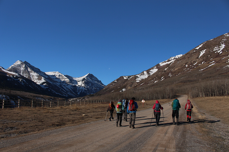
The group begins the long walk up Spionkop Creek valley.  At far left is Spread Eagle Mountain (Mount Roche).
If the gate was open, you could easily drive this far... 
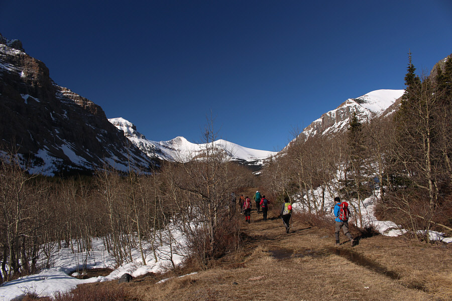
Beyond the last gas well, the gravel road downgrades to a rough double track.
Start sweating here... 
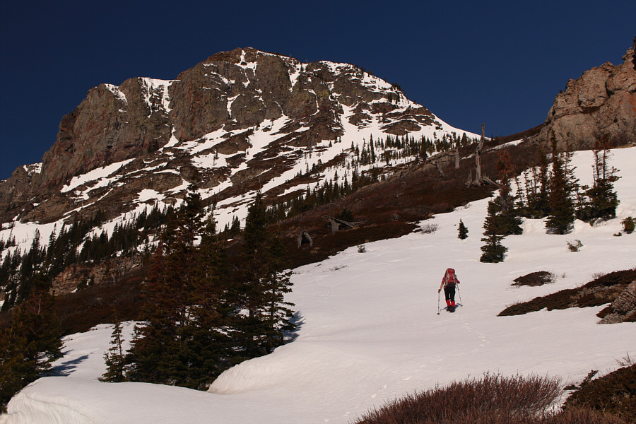
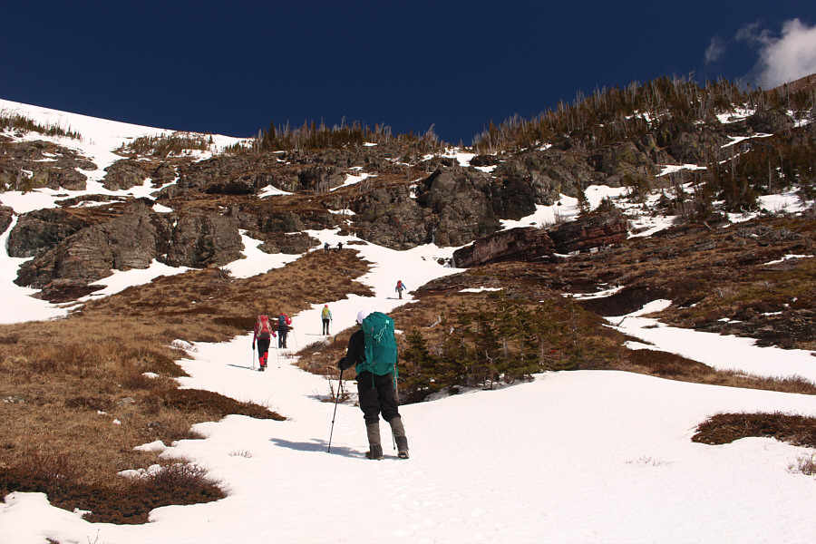
The group leaves the road and ascends open slopes aiming for the snow-filled gully at right.
Luckily, the snow was still very supportive here.

Zosia crosses a large snow patch en route to the gully.

Too bad we didn't bring skis! 
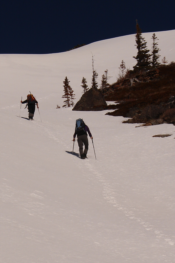
Josée and Alison lead the way up the snow-filled gully.
Getting to the ridge above ain't gonna be so easy... 
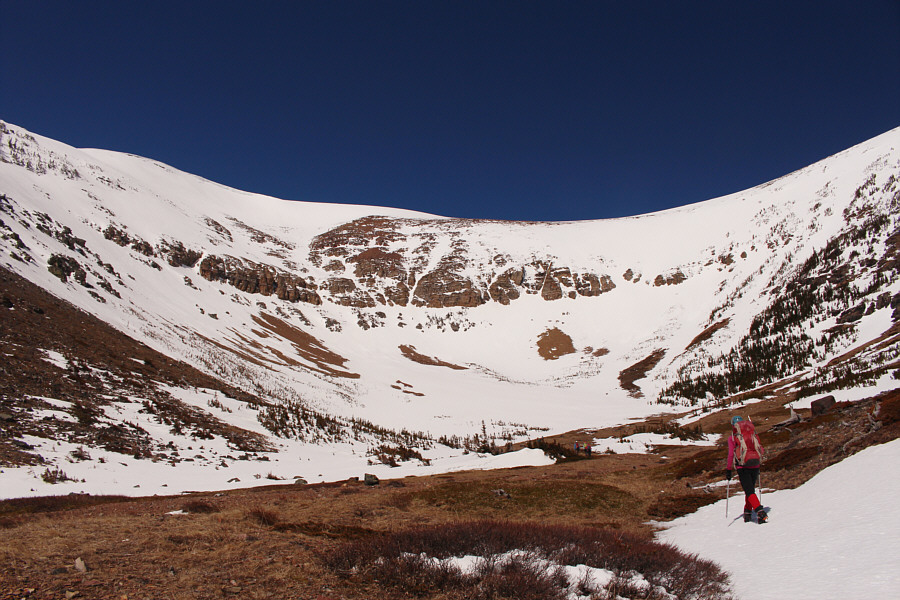
Zosia enters a large snow-filled cirque.
Get ready for a steep grunt! The group chooses the most promising route to climb out of the cirque.
This ain't the Ivory Coast anymore, Houmaro! 
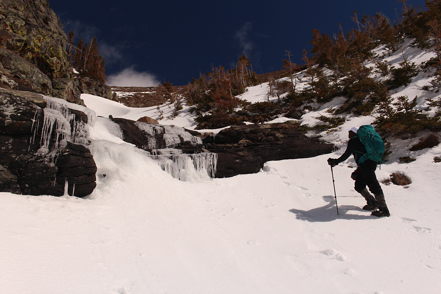
Houmaro approaches a frozen waterfall in a snow-filled chute.
Hmmm...we still have a long way to go... 
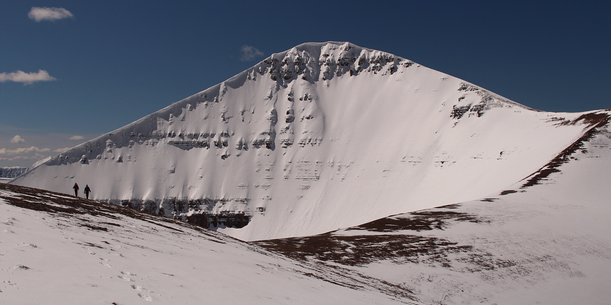
Here is the first glimpse of Loaf Mountain's summit block.

Can you spot Josée and Alison in this photo?

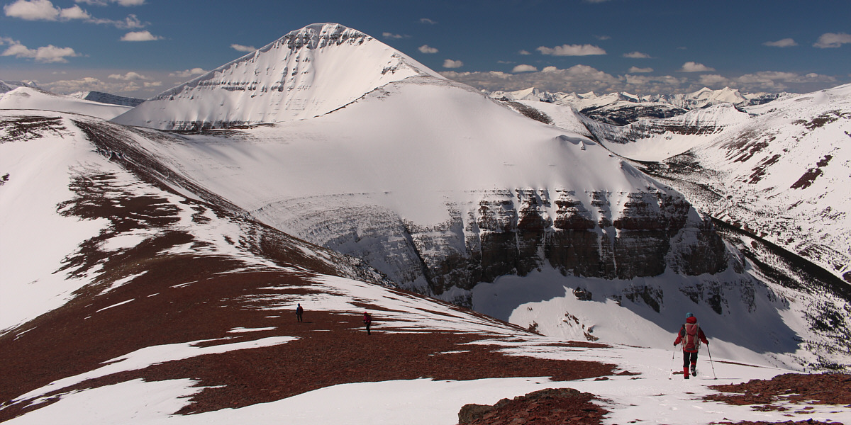
From here, the broad ridge can be followed all the way to the top of Loaf Mountain..


Looks like a Himalayan giant!

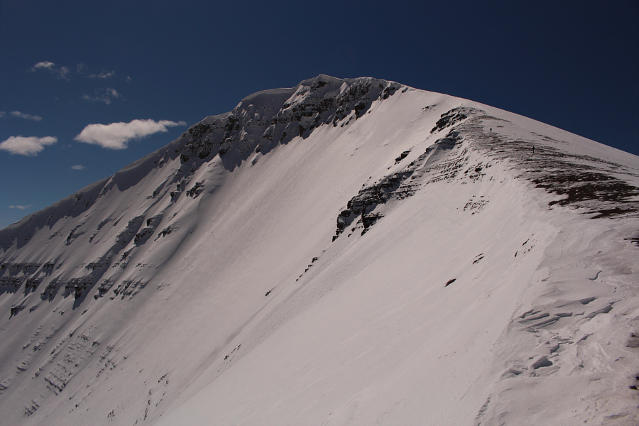
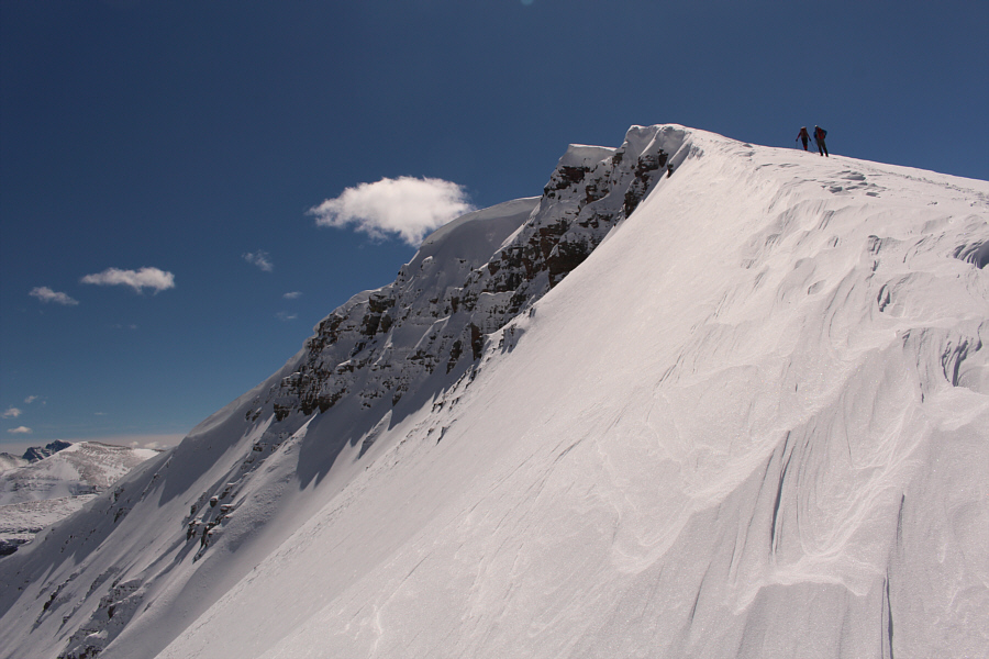
Zosia and Ali hike over an intervening bump on their way to the main summit block of Loaf Mountain.


I'll never catch up to Zosia and Ali if I keep stopping to take photos! The next bump along the ridge is fairly easy to climb up.
Boy, those slopes sure look tempting to ski... 
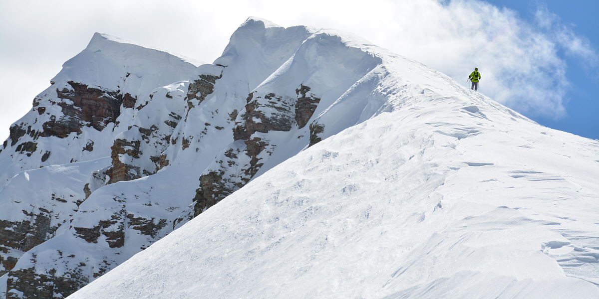
Zosia and Ali climb up the main summit block.

Tough mountains to get to let alone to climb!

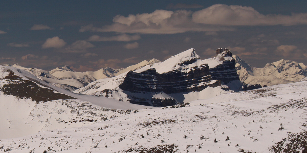
Windsor Mountain and Castle Peak are the centrepieces of Castle Wildland Provincial Park.


She is a shining light! 
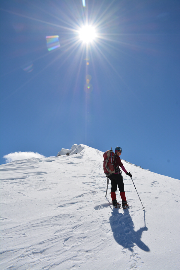
Wearing crampons, Zosia climbs up with ease.

Photo courtesy of Ali Shariat

Beware of the cornices! Zosia and Ali continue up the summit ridge.

Wow, the views are amazing today!

Boivin Lake is still frozen and snow-covered to the northwest.


Nice colours!

Zosia, Ali, Alison, Josée and Sonny stand on the summit of Loaf Mountain (2633 metres).


Or you can call it the east end of Spionkop Ridge (EEOSR?). Spread Eagle Mountain (Mount Roche) sits to the east.
You should be able to pick out Mount Cleveland and Mount Blakiston, the highest peaks in their respective parks. 
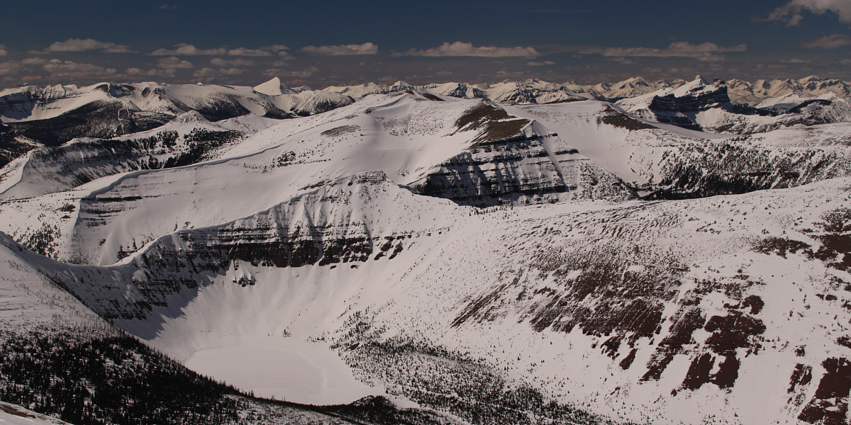
Numerous peaks of Waterton National Park and even a few in Montana's Glacier National Park can be seen to the southeast.
Never even heard of these until now! 
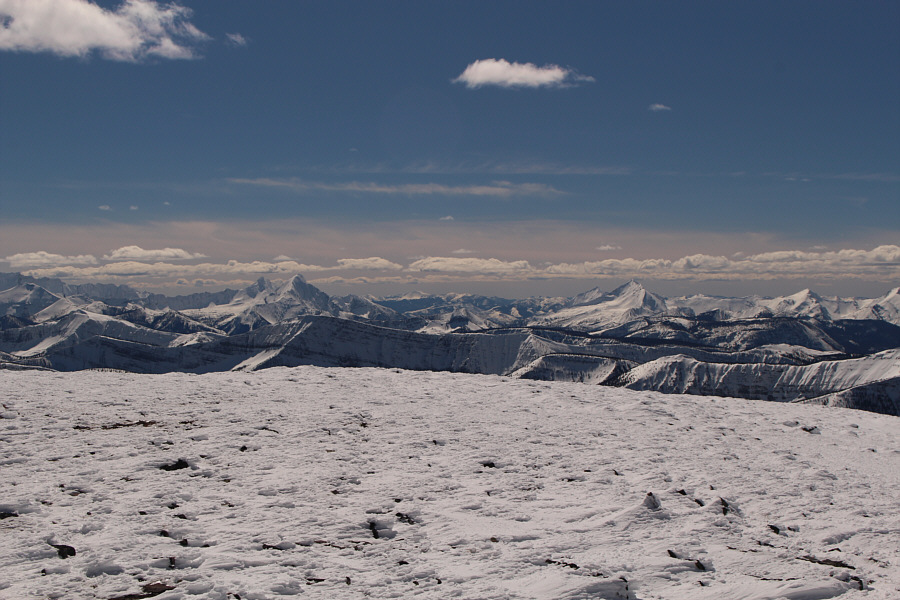
Some of the bigger peaks on the southwestern horizon include King Edward Peak and Starvation Peak at left, Kenow Mountain at right and Langemarck Mountain at far right.
Victoria Peak is high on my to-do list; I should probably climb it this year... Victoria Peak (right) is the most recognizable peak to the north.
Meh. 
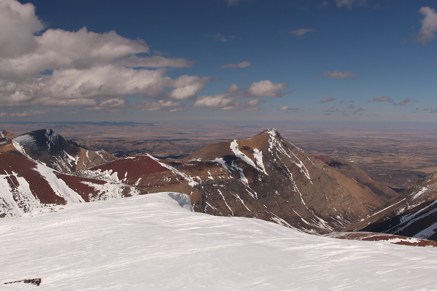
To the northeast is Drywood Mountain.

No crampons, no problem!

Sonny descends the summit ridge.

Photo courtesy of Ali Shariat


It's steeper than it looks...

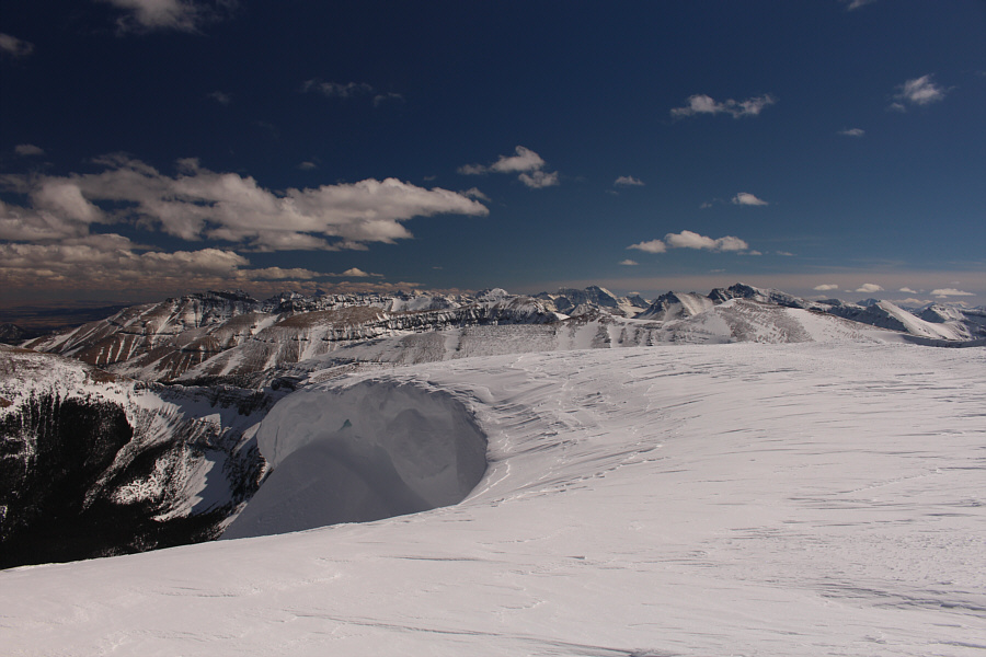
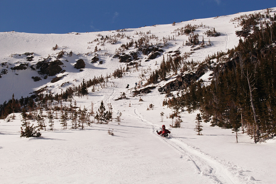
The group carefully traverses steep snow slopes in the upper part of the cirque.

Photo courtesy of Dorota Sokolowska


Time to have some fun! Sonny follows the glissade tracks of Josée and Alison.

Photo courtesy of Zosia Zgolak

Pole slide! 
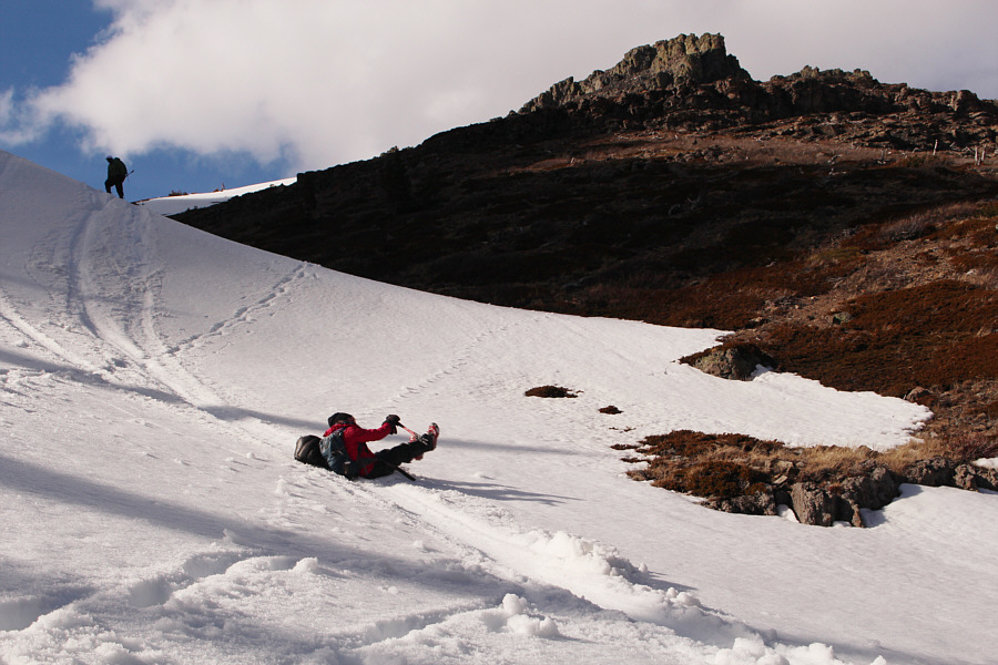
It is Zosia's turn to glissade.
Look at those smiles! 
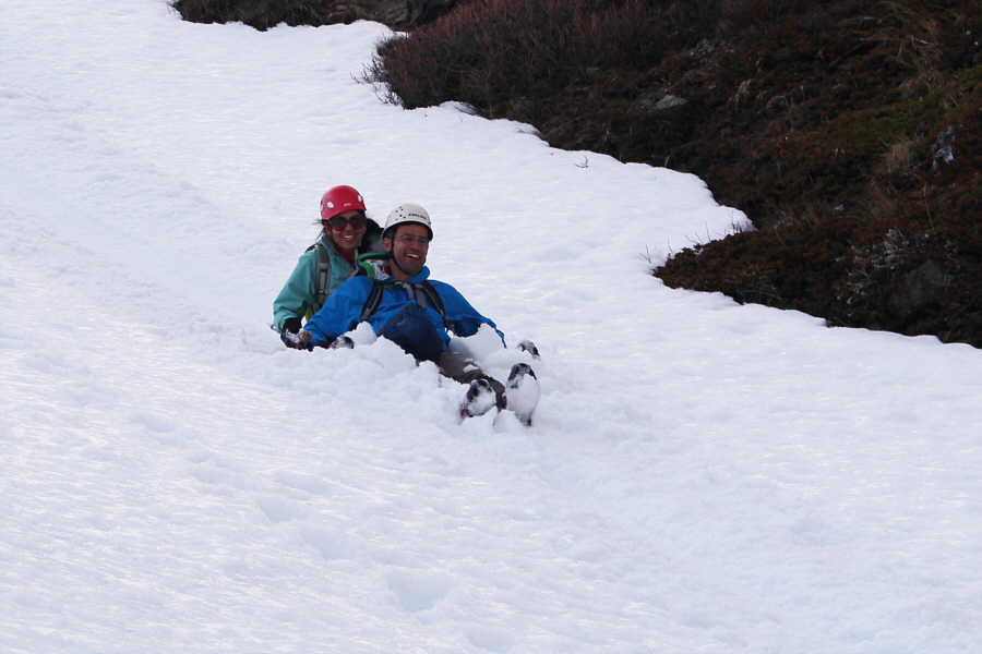
Asieh and Ali try tandem glissading.
Pole slide part 2! Houmaro watches as Dorota tumbles out of control in the snow-filled gully below the cirque.
So which side of the fence are the sheep supposed to be on?? 
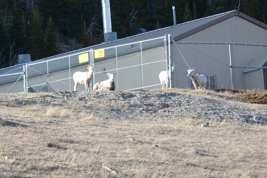
Some sheep stare back nervously from a gas well installation near the end of the gravel road.

Photo courtesy of Ali Shariat

That reminds me; let's go to A&W in Pincher Creek for a hamburger... 
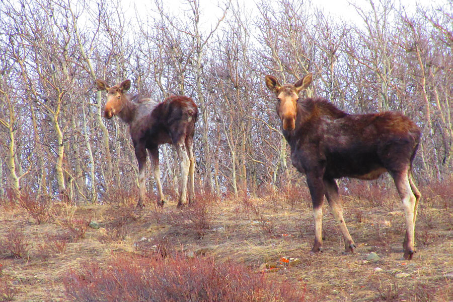
Two moose look back warily after being spotted near the bridge over Yarrow Creek.

Photo courtesy of Zosia Zgolak
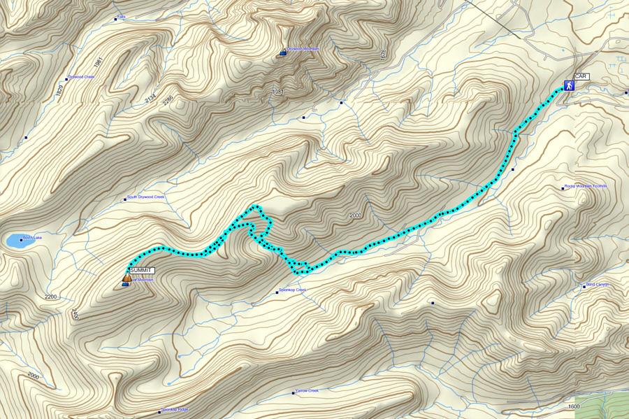
We really lucked out with the weather on this trip. Total Distance:  23.4 kilometres
Round-Trip Time:  10 hours 43 minutes
Net Elevation Gain:  1121 metres

GPX Data