BOU AVENUE
Lubec Ridge

Looking for an easy hike on 22 May 2017, Eva B., John Bence, Marta Wojnarowska, Zosia Zgolak and I explored Lubec Ridge located about 6 kilometres south of East Glacier, Montana.  Lubec Ridge is actually comprised of a number of loosely connected hills within a corner of Lewis And Clark National Forest bounded to the northwest by Glacier National Park and to the northeast by Blackfeet Indian Reservation.  Starting from a pullout on the southeast side of US Highway 2 about 1.9 kilometres southwest of the Blackfeet Indian Reservation boundary, we immediately scrambled up a rocky ridge and subsequently hiked a clockwise loop which included visits to Buffalo Lakes and the high point of Lubec Ridge.  Route-finding was pretty easy because of the generally open terrain, but the many ups and downs made for a more strenuous outing than a topo map would suggest.  Options exist for extending the hike, but our loop was about the right length since we still had a long drive home ahead of us.  Visiting Lubec Ridge capped off a wonderful long weekend of hiking with good friends in a beautiful area, and I am certain that a return trip will be in the works in the near future.
Love the short approach! 
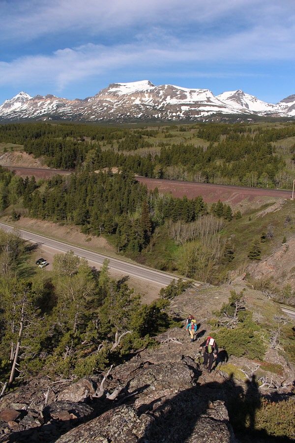
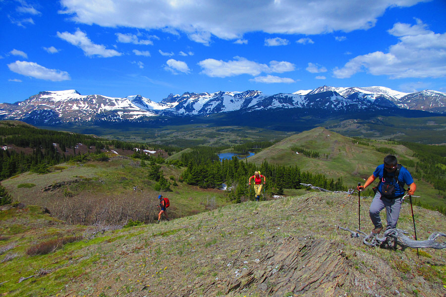
The group climbs quickly away from the pullout on a rocky ridge.  In the distance is Calf Robe Mountain.

Great views already, and we haven't even broken a sweat!

Eva, Marta, Zosia and John continue up the ridge after climbing over the rocky outcrop behind them.


We could have easily avoided these, but what fun would that be?? 
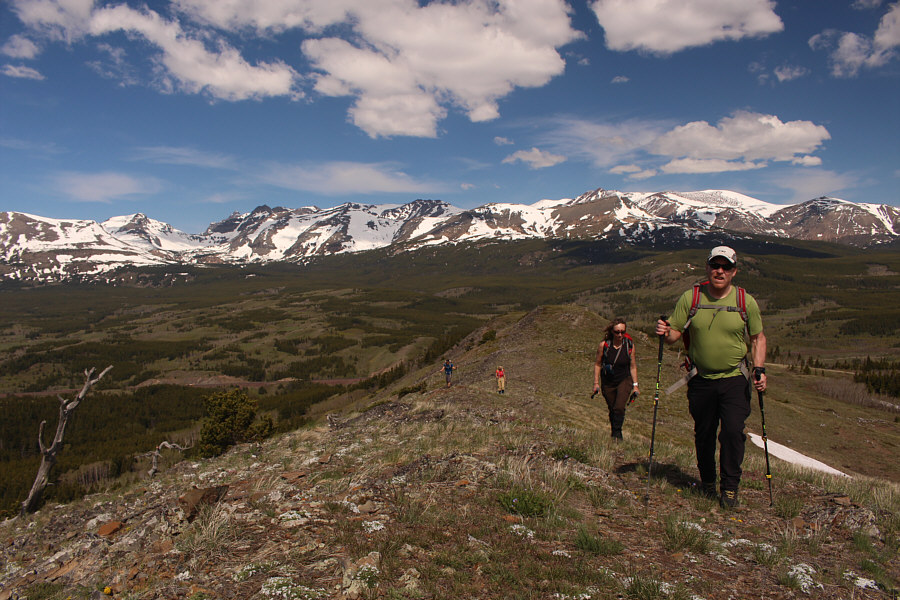
Marta and Zosia tackle another rocky outcrop.
After two days of hiking through snow, it was nice to have dry feet for a change. 
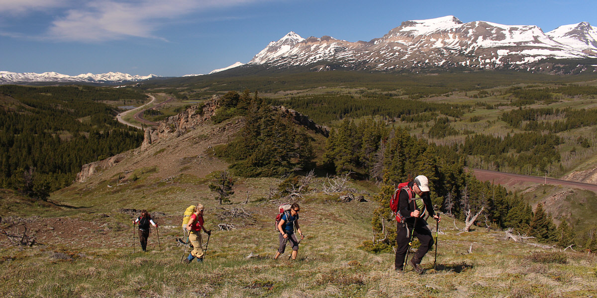
The snowy ridges to the west behind John and Eva are all within Glacier National Park.
Wanna go for a swim?

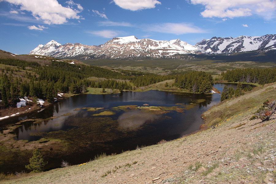
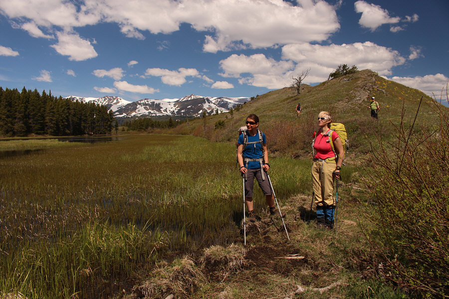
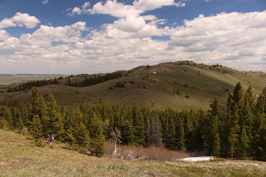
Buffalo Lakes are nestled within the hills of Lubec Ridge.

Palm down, Eva!

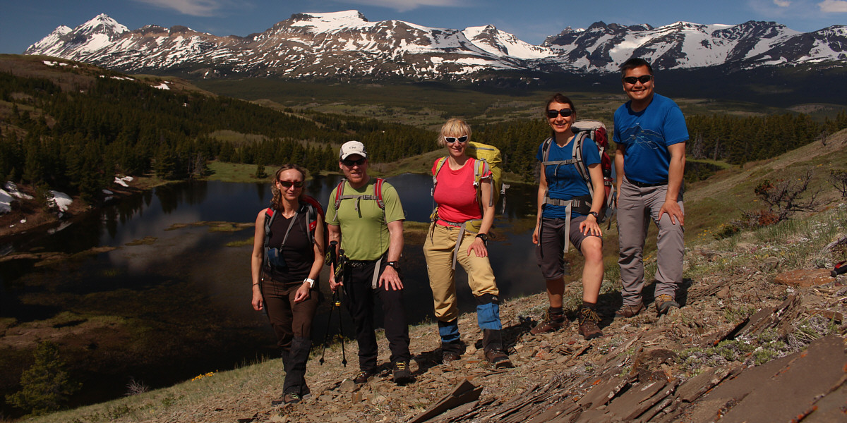
Looking coordinated in front of Buffalo Lakes are (L to R) Eva, John, Marta, Zosia and Sonny.


Cute. Some goslings scurry away from approaching hikers.

Photo courtesy of Zosia Zgolak

A large flock of geese and goslings out of view to the left are attracting the attention of Zosia and Marta. This end of Buffalo Lakes is essentially a grassy marsh.
Simply beautiful! Marta sits down in a field of shooting stars.

Photo courtesy of Zosia Zgolak

What? We're here already?? Eva, Marta and Sonny hike up the final slope leading to the high point of Lubec Ridge.

Photo courtesy of Zosia Zgolak

I didn't expect this to be the high point of the day! Eva and John stand on the high point of Lubec Ridge (1758 metres).
The White Tree of Gondor? 
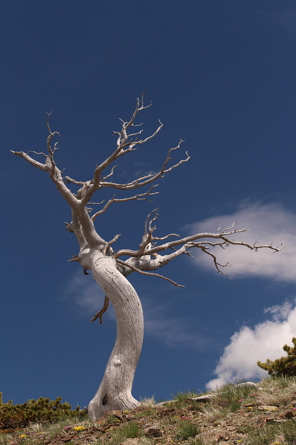
This long-dead tree is similar to the famed Burmis Tree near Burmis, Alberta.
It's a bit of a thrash coming out of the dip... Eva and Marta climb out of a dip after descending from the high point of Lubec Ridge (right).
These don't even show up on my GPS map! 
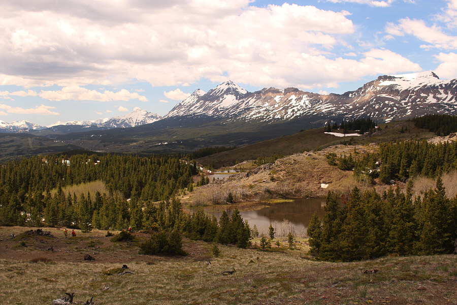
A few more unnamed ponds are scattered among the hills of Lubec Ridge.  At centre on the horizon are Little Dog Mountain and Summit Mountain.
I'm flying! Sonny balances precariously on top of a small hoodoo.

Photo courtesy of Zosia Zgolak

The human antenna (rabbit ears)! Zosia does one better than Sonny by balancing on one foot.
I think Marta's starting to tire of all the ups and downs... Marta crosses a grassy meadow en route to the last hill of the day.  The high point of Lubec Ridge can be seen in the distance.
This was what I thought would be the high point of Lubec Ridge, but it's actually about 12 metres lower here. Zosia, Marta, John and Eva pause briefly on the last hill of the day.
Getting down to the highway is not as straightforward as it seems... 
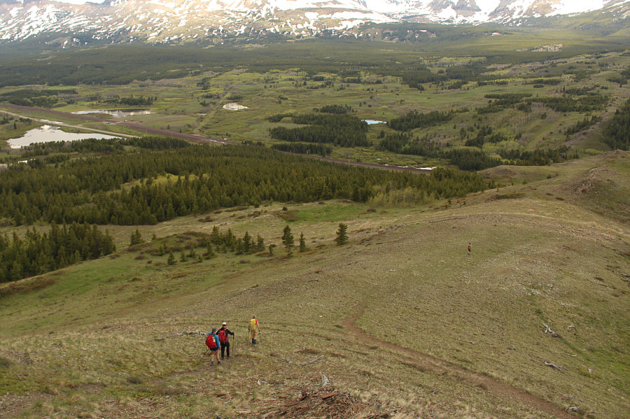
Aiming for the highway, the group descends a broad grassy ridge.
Watch where you descend here--some of the scree is not so great for surfing! 
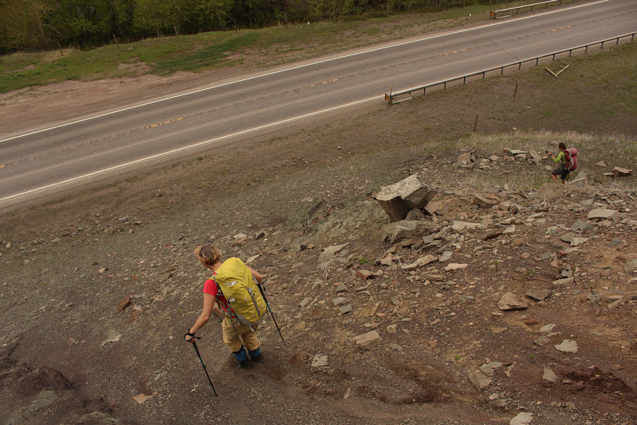
Marta and Zosia end the descent to the highway with a bit of scree surfing.
Not a great finish to the hike, but it's easy enough. It is a short walk alongside the highway to get back to the pullout and complete the loop.  This is also a comprehensive view of the rocky ridge that the group initially climbed at the start.
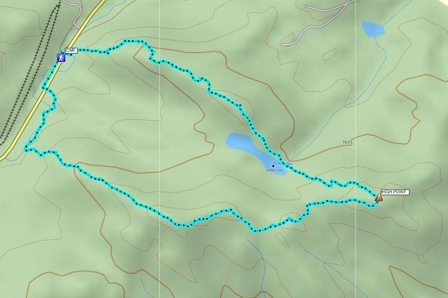
There is more here than meets the eye! Total Distance:  7.7 kilometres
Round-Trip Time:  5 hours 26 minutes
Net Elevation Gain:  267 metres

GPX Data