 |
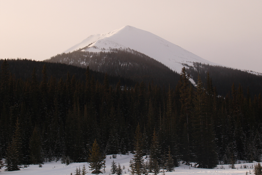
Tent Ridge stands high above the Mount Shark ski trails. |
 |
Sonny glides along the main approach
trail. Behind him is Mount Engadine. Photo courtesy of Zosia Zgolak |
 |
Zosia crosses the bridge over Spray River. |
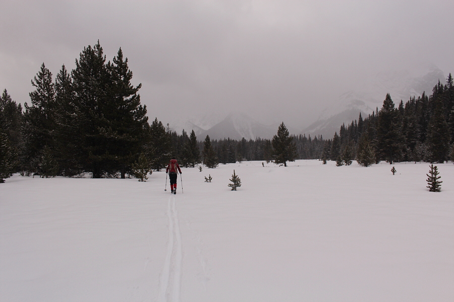 |
Zosia breaks trail in the Spray River Valley. |
 |
Zosia crosses Spray River on a snow bridge. |
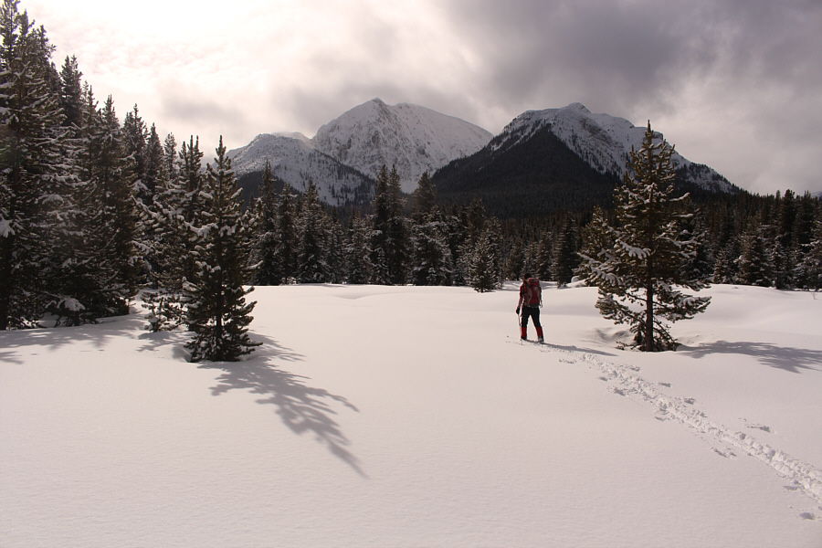 |
Zosia approaches the junction with the trail leading to White Man Pass. Ahead is Mount Warre. |
 |
Snow Peak (left) looks very prominent from Upper Spray Valley. |
 |
Sonny happily follows Zosia's tracks in the open flats of Upper Spray Valley. Photo courtesy of Zosia Zgolak |
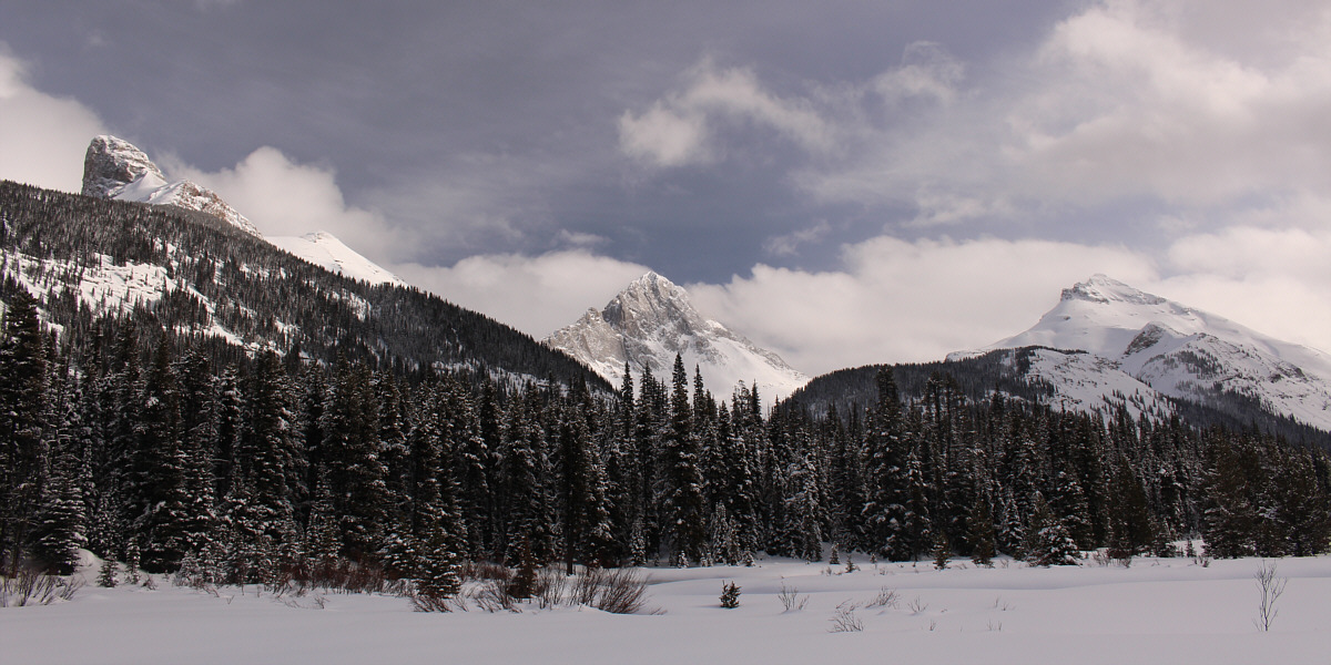
L to R are Smutwood Peak, Mount Birdwood and Snow Peak.
 |
Here is a closer look at Mount Birdwood. |
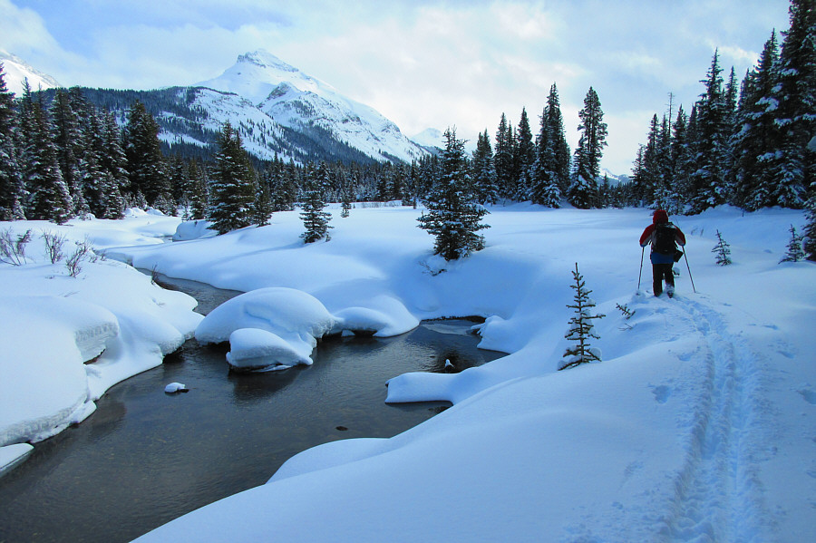 |
Sonny breaks trail alongside Spray
River. Photo courtesy of Zosia Zgolak |
 |
A lone ptarmigan hopes not to get noticed. |

A couple other ptarmigans sit out in the open meadows near Palliser warden cabin. Right of centre is Mount Leman.
 |
Zosia arrives at Palliser warden cabin below Smutwood Peak. |
 |
Zosia and Sonny take a break at Palliser warden cabin. |
 |
Both Zosia and the lone ptarmigan (lower right) begin their separate journeys home. In the background is Mount Warre. |
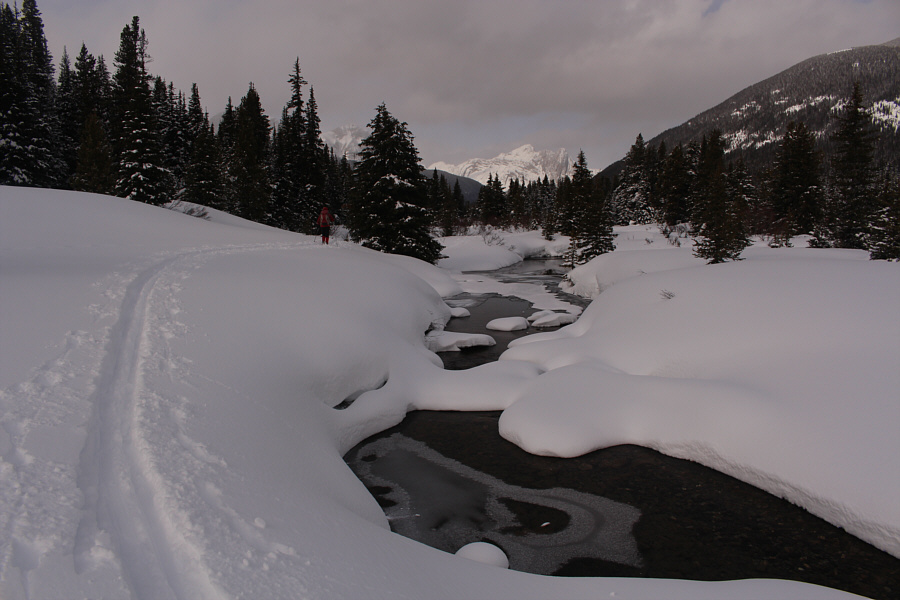 |
Zosia retraces her tracks along Spray River. |
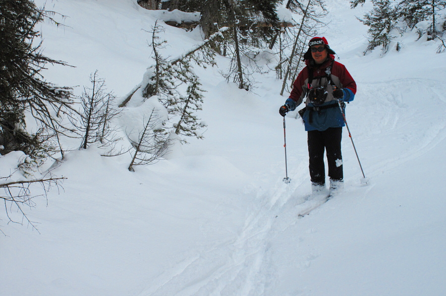 |
Sonny descends the "annoying little
hill" along Palliser trail. Photo courtesy of Zosia Zgolak |
 |
Zosia tends to a blister on her left heel. |
 |
Sonny is not too proud to drag his
skis up the big hill near the bridge over Spray River. Photo courtesy of Zosia Zgolak |
 |
Total
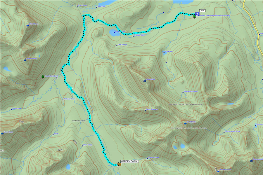
Distance: 31.3 kilometres Round-Trip Time: 9 hours 12 minutes Total Elevation Gain: 507 metres |