BOU AVENUE
Round Mountain, Paul Ridge And Elfin Lakes
Staying in Squamish, British Columbia for a
few days, Zosia Zgolak and I skied to Elfin Lakes via Paul Ridge in the
southwest corner of Garibaldi Provincial Park on 4 January 2017.
The normal approach to the Diamond Head parking lot as described in BC
Parks'
website has changed slightly. Although the Mamquam Road was
still driveable in its entirety, we nevertheless passed a confusing "Road
Closed" sign just east of the Squamish Valley Golf & Country Club.
After winding our way through some forest, we emerged from the supposedly
closed section of road at a T-intersection with Village Drive near Quest
University. There was also another "Road Closed" sign at this end.
We were a bit puzzled by the signs, but it is possible that this section
of the Mamquam Road may be decommissioned in the future with all the new
development in the area. About a kilometre or so before the Diamond
Head parking lot, we passed a lower parking lot with a sign recommending
the use of tire chains to continue further. Although this last
section of road climbs steeply, it had been recently plowed, and I had no
problems driving all the way to the trailhead in my 2015 Honda CR-V with
all-season tires.
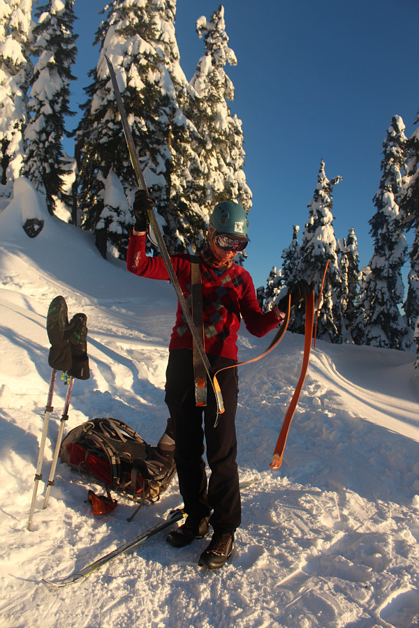
As we geared up, Zosia realized that she had
left her AT climbing skins back at our accommodations in Squamish.
Luckily, she had all of her light touring gear (with skins) in my car,
and she did not look out of place using them for this trip. The
long but easy climb up the road to Red Heather shelter is mostly in
forest, and there is little inspiration other than the thought of a long
downhill ski run at the end of the day. Past the shelter, the
terrain begins to open up, and we followed marker wands up onto Paul
Ridge. We took a short detour to tag the summit of Round Mountain,
the highest point of Paul Ridge, but this was a much more challenging
endeavour than we were expecting. The final slope was a little too
steep to skin up, but we also had to contend with deep powder when we
switched to boot-packing. Thankfully, the climb to the top was
short, and we fared much better when descending the same way.
After retrieving our skis, we enjoyed a
gloriously scenic ski along Paul Ridge and gradually descended to a
backcountry shelter at Elfin Lakes. Along the way, we ran into a
skier who was boot-packing all the way back to the trailhead because of a
broken binding. We could not help but feel his pain. Although
the shelter was deserted when we arrived, the wood stove was still
burning, and we enjoyed having a warm place to eat a snack and dry out a
bit of our gear. While it would have been nice to linger at the
cozy shelter, the day was getting late, and we still had a long ski out
ahead of us. Just as a couple of other backcountry skiers returned
from a day of skiing on some nearby slopes, Zosia and I reluctantly left
the shelter and began climbing back over Paul Ridge. Once we passed
Round Mountain, we removed our skins for the lengthy downhill run back to
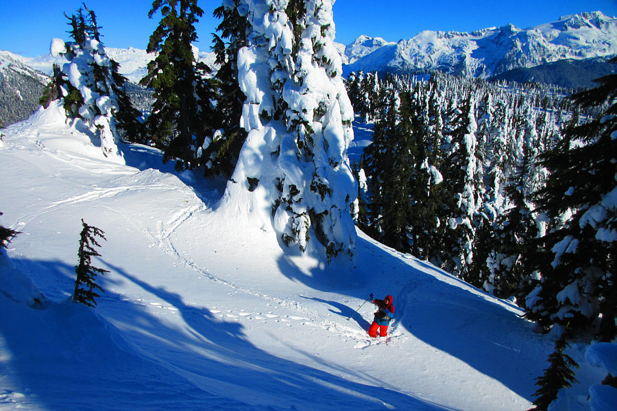
the trailhead. Much of the open terrain above Red Heather shelter
had already been skied out after a busy long weekend, but we still
managed to find a few pockets of untracked powder. The ski back
down the road was fast, and we managed to get back to my car just a
little after sunset.
On the drive out, I got a little lost taking
the proper detour along Village Drive, but a quick check of Google maps
on my phone helped to point me back to the main highway. Hopefully,
signage for the route between the highway and the trailhead will be
improved here in the future.
Zosia follows old tracks en route to Round Mountain.
In the distance is Atwell Peak of the Garibaldi massif.
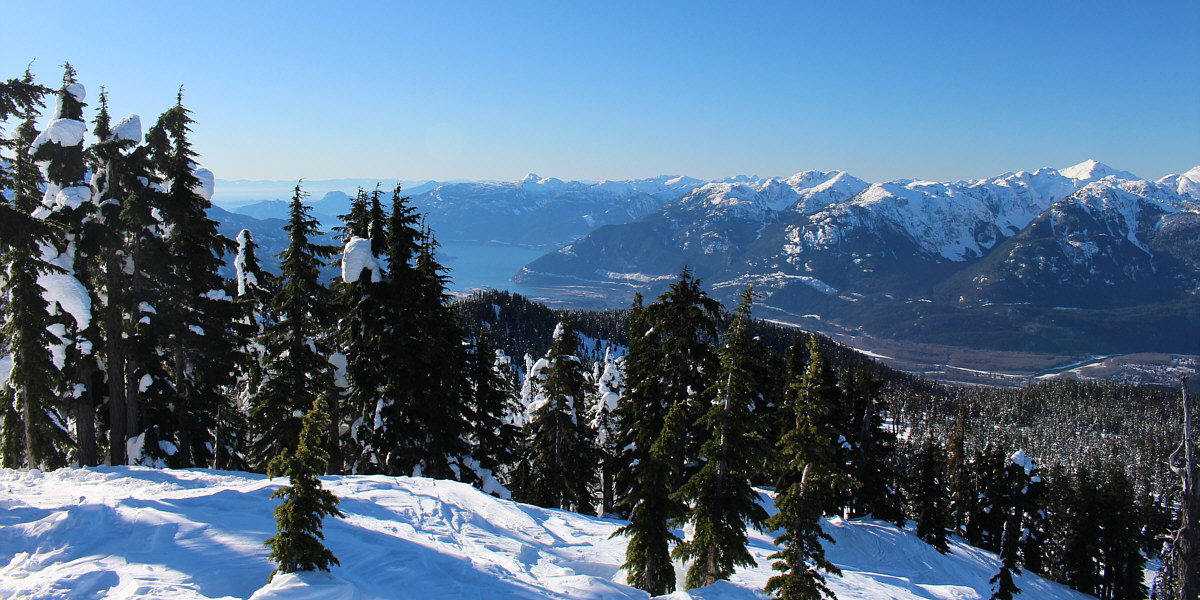
To the southwest, the prominent knob beyond Howe Sound
is Mount Wrottesley. At far right is Mount Sedgwick.
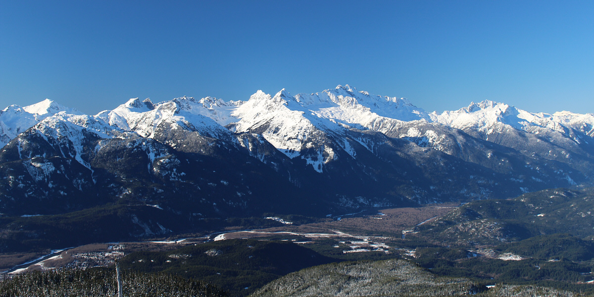
To the west lies the heart of the Tantalus Range with
the highest peak being Mount Tantalus (rightmost of the double peak right
of centre).
Glaciated peaks stretch across the horizon to the
northwest.
|
Atwell Peak is the second highest of
three peaks that comprise the Garibaldi massif (Mount Garibaldi and
Dalton Dome are not visible here). |
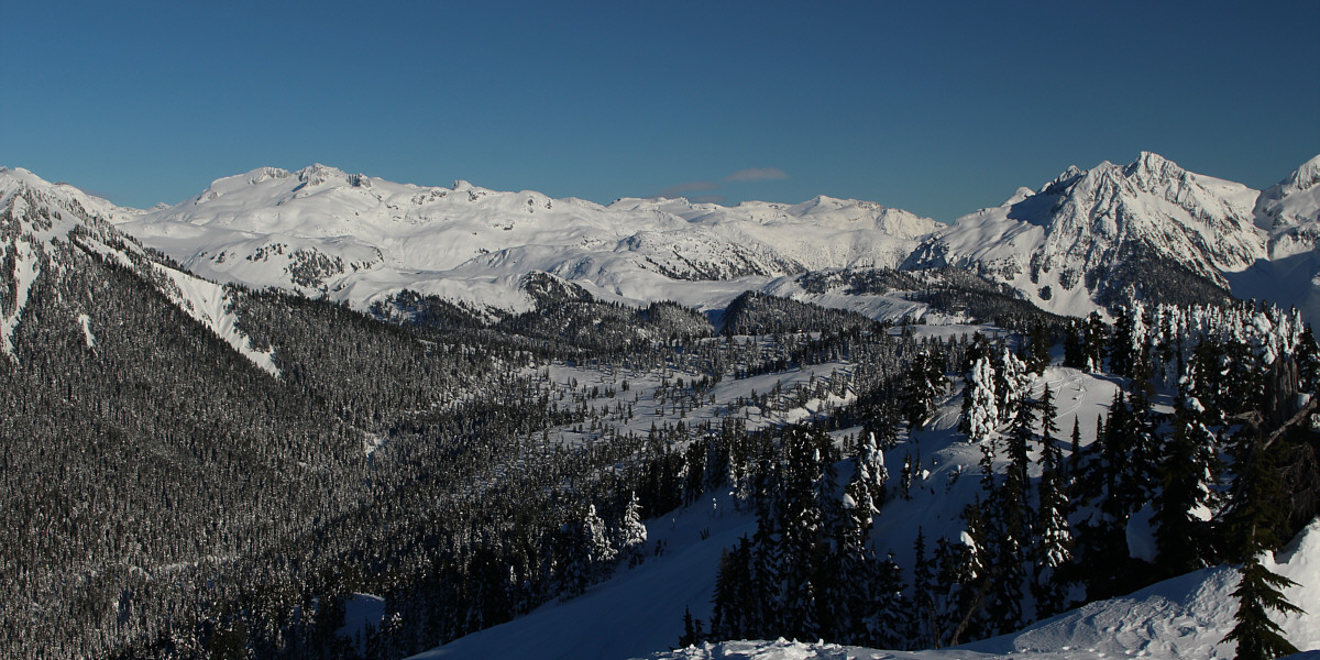
Parapet Peak and Isosceles Peak are visible at far left
while Pyramid Mountain and Spire Peaks are visible at far right in this
view to the northeast.
|
Mamquam Mountain is the most prominent
peak to the east. |
|
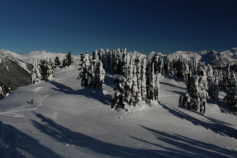
Zosia continues along Paul Ridge after
retrieving her skis. |
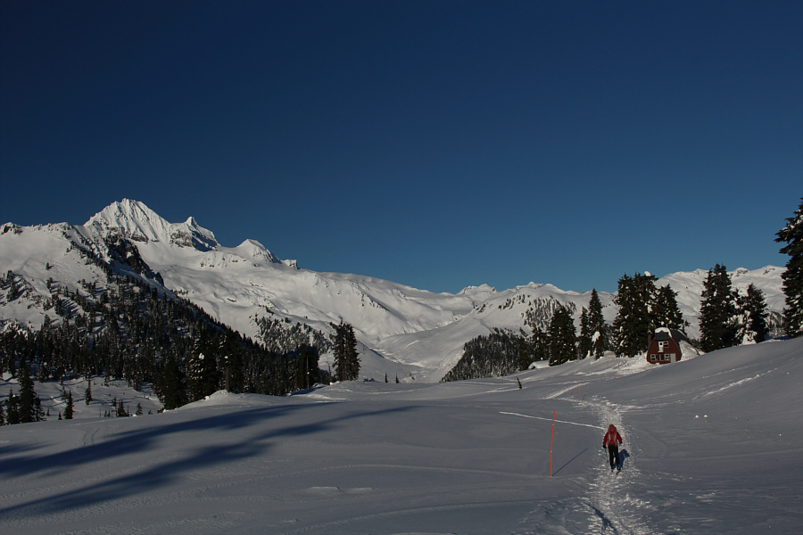
Zosia surveys the remainder of the gentle descent to
Elfin Lakes along Paul Ridge.
|
Zosia traverses a broad section of
Paul Ridge with Mamquam Mountain in the background. |
|
Sastrugi are evident all along the
route. Photo
courtesy of Zosia Zgolak |
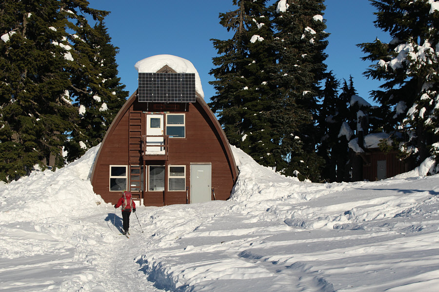
Mount Garibaldi, the highest peak of the Garibaldi
massif, is visible to the right of Atwell Peak as Zosia approaches the
Elfin Lakes ranger cabin.
Zosia skis back along Paul Ridge with the Tantalus
Range in the background.