
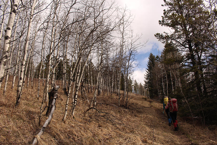
Marta and Zosia hike the trail leading to the top of Square Butte.

 |
Marta and Zosia are ready to start hiking. Square Butte is visible in the distance behind them. |
 |
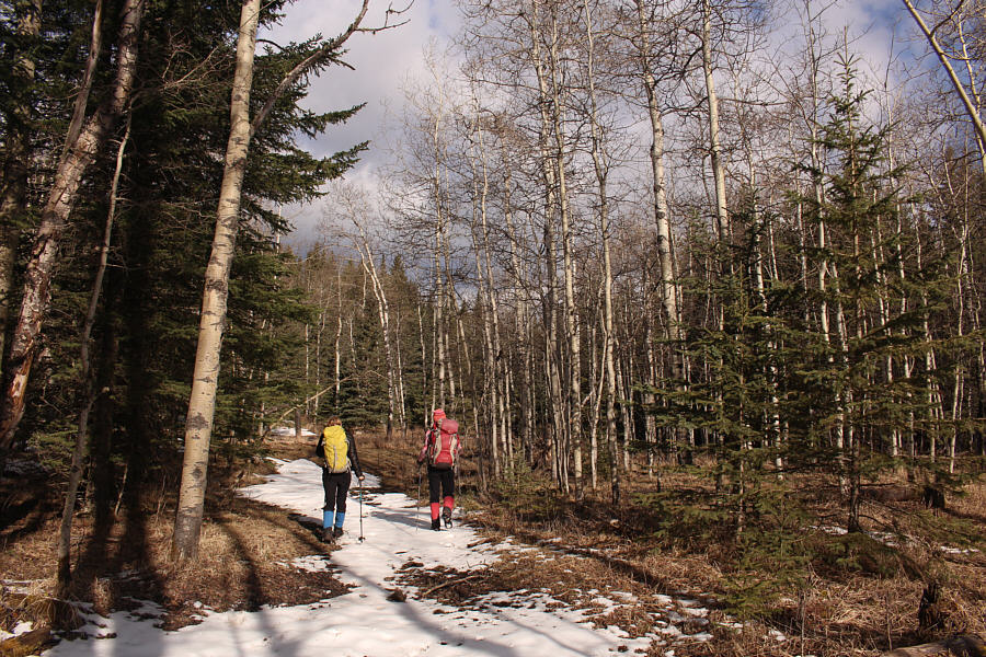
The hike along the south side of Threepoint Creek is mostly through unremarkable forest. |
 |
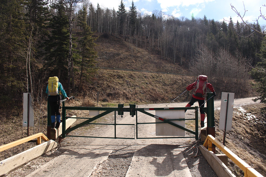
Marta and Zosia hop a gate across a gas well road. The forested ridge ahead is part of the south end of Square Butte. |
 |
Marta and Zosia hike the trail leading to the top of Square Butte. |
 |
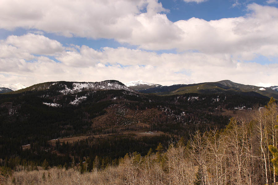
A clearing along the ridge grants this view of Death's Head (left), Bluerock Mountain (distant centre) and Allsmoke Mountain (far right). |
 |
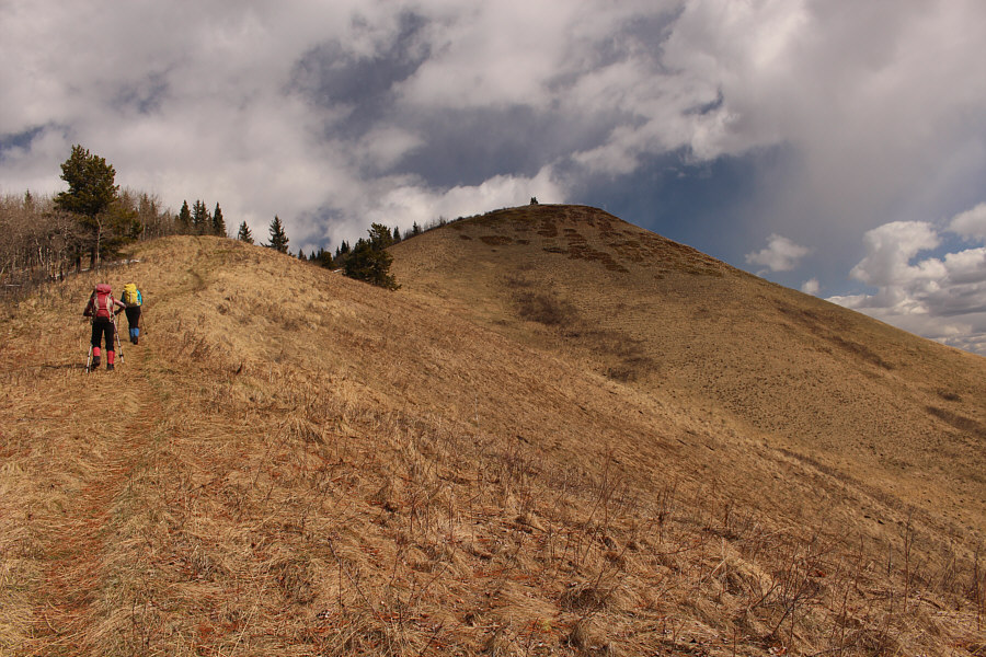
Zosia is about to descend into a dip just before the final climb up Square Butte. |
 |
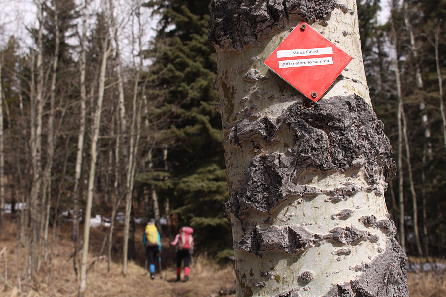
Trail markers such as this one point hikers in the right direction. |
 |
Zosia and Marta grind their way to the top of Square Butte. |
Zosia and Marta hold a Canadian Flag over Sonny's head on the high point of Square Butte (1685 metres).

Most notable on the horizon to the west are Banded Peak, Outlaw Peak, Mount Cornwall, and Mount Glasgow.
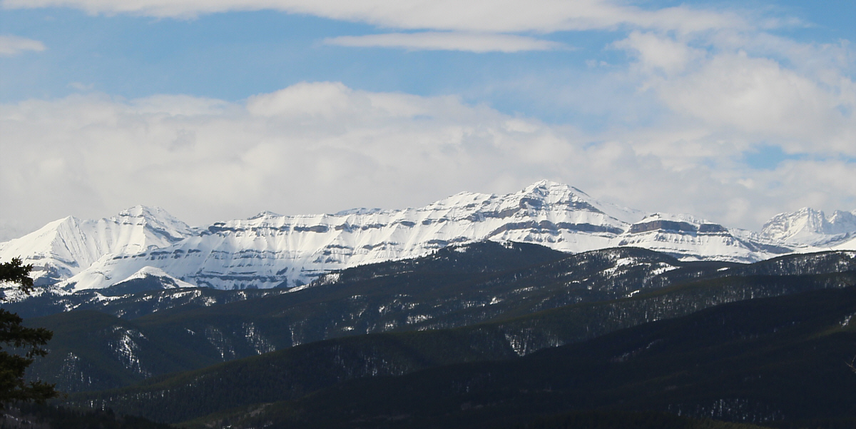
Bluerock Mountain is easily recognized to the southwest.
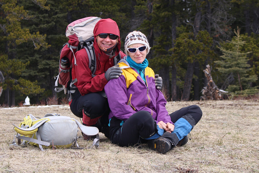 |
Zosia and Marta pose together on the high point of Square Butte. |
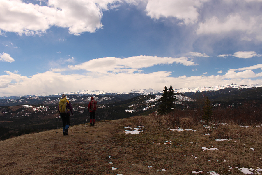 |
Marta and Zosia prepare to descend from the high point of Square Butte. |
 |
The descent of the south ridge of Square Butte is just as scenic the second time around. |
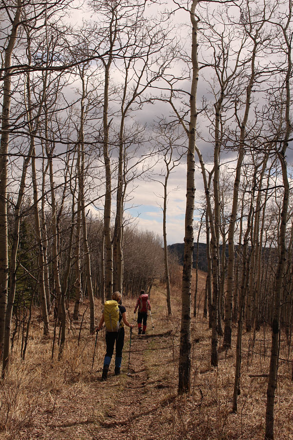 |
Marta and Zosia return via Curley Sands trail. |
 |
Zosia and Marta pose one last time for the camera before plunging down the slope behind them. Sonny's car is visible in the distance at centre. |
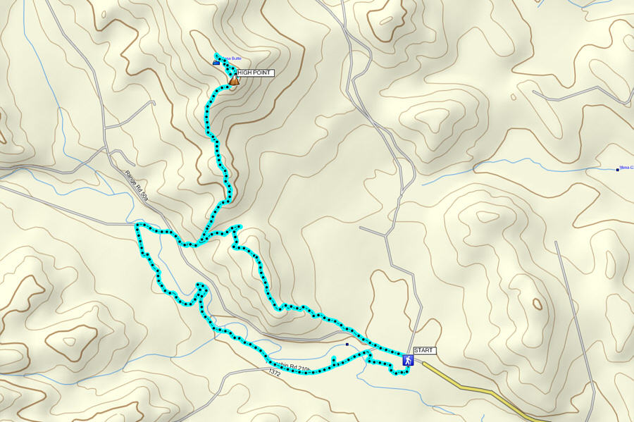 |
Total
Distance: 12.1 kilometres Round-Trip Time: 6 hours 6 minutes Total Elevation Gain: 568 metres |