Photo courtesy of Zosia Zgolak
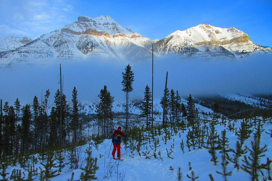
Photo courtesy of Zosia Zgolak
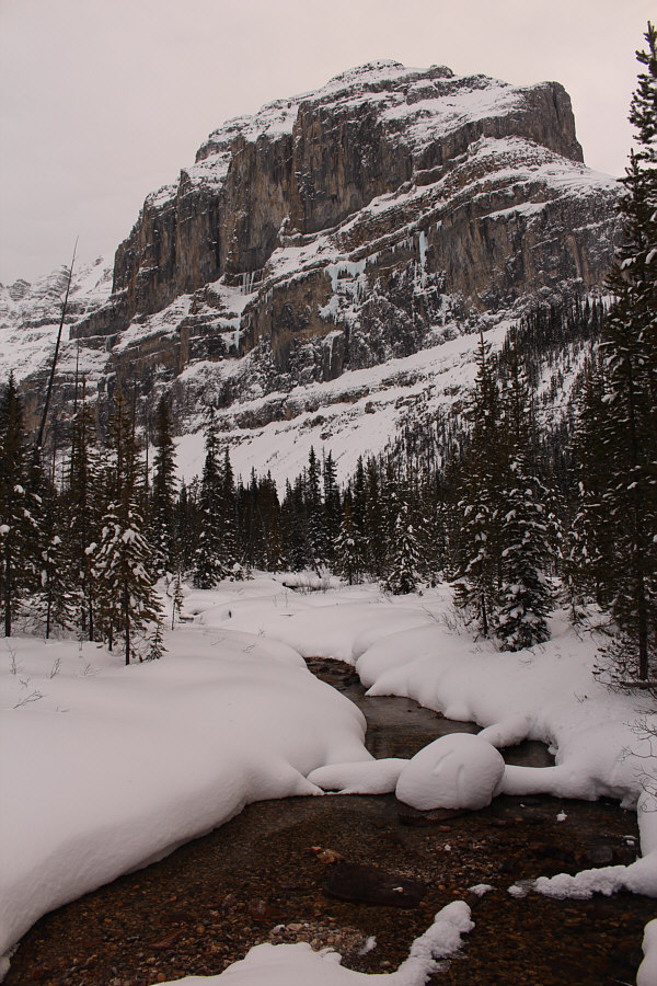
The northern outlier of Stanley Peak rises dramatically above Stanley Creek.
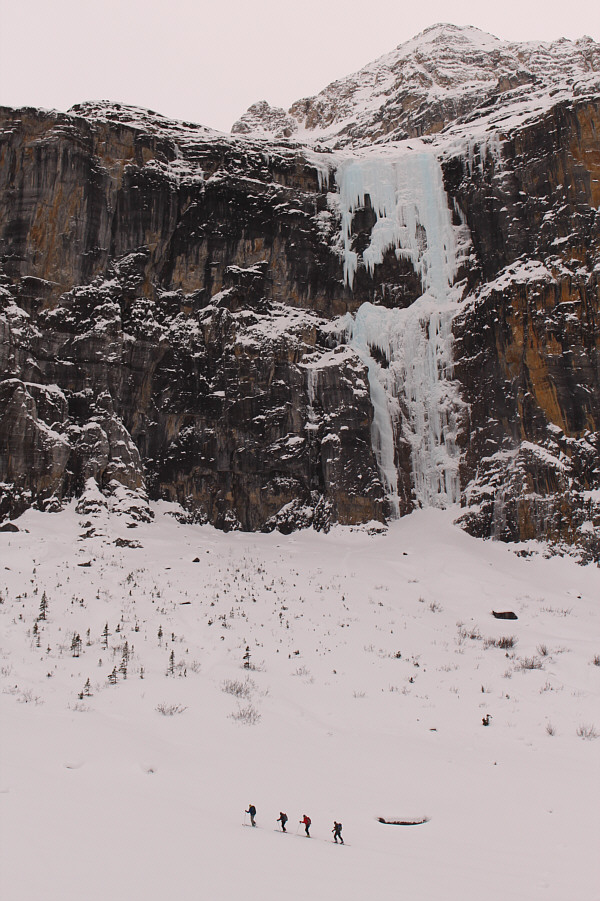
Another group of skiers pass under the impressive frozen waterfall known as Nemesis.
|
|
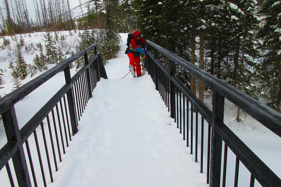
Sonny struggles to get up the bridge
over Vermilion River. Photo courtesy of Zosia Zgolak |
|
|
Mount Whymper (left) appears beyond
the mist as Sonny skins up the trail. Photo courtesy of Zosia Zgolak |
|
|
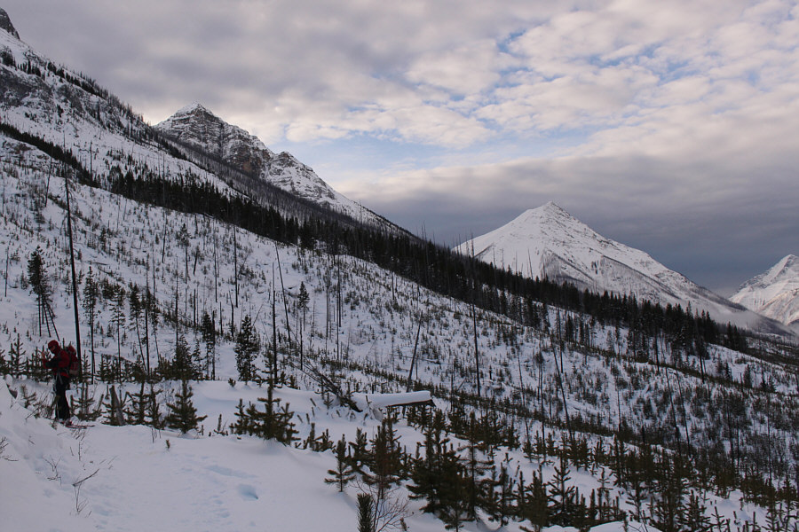
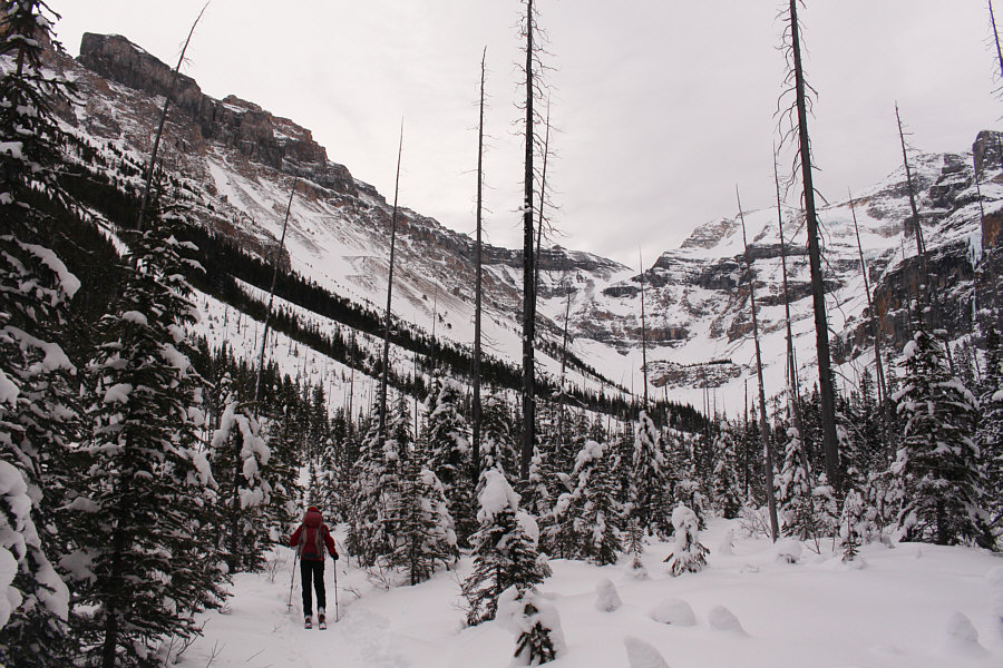
Vermilion Peak is visible to the southwest from the burned slope. |
|
|
The northern outlier of Stanley Peak rises dramatically above Stanley Creek. |
|
|
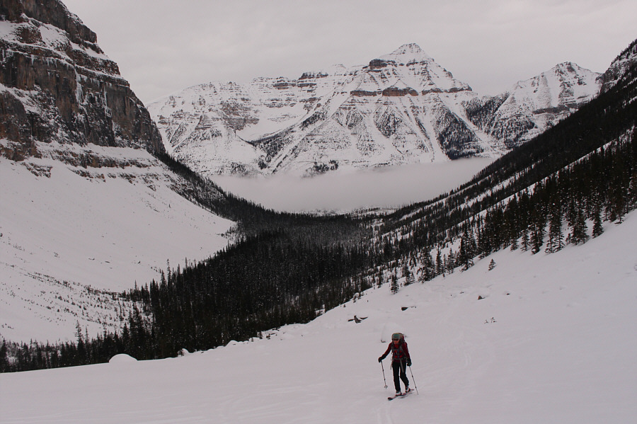
Zosia continues up the valley. |
|
|
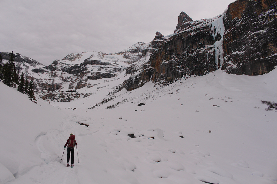
The trees thin out near the head of the valley. Stanley Glacier is barely visible and tucked up behind the pinnacle at centre. |
|
|
Zosia finally breaks clear of the trees in the valley. |
|
|
Another group of skiers pass under the impressive frozen waterfall known as Nemesis. |
|
|
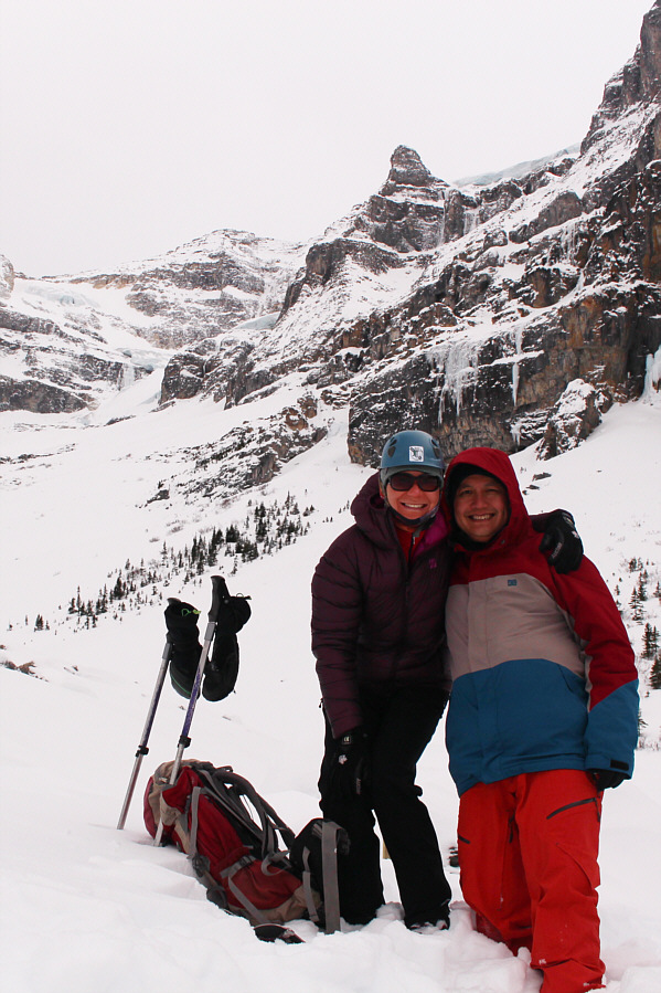
Zosia and Sonny are satisfied with the scenic views at the end of the summer trail. |
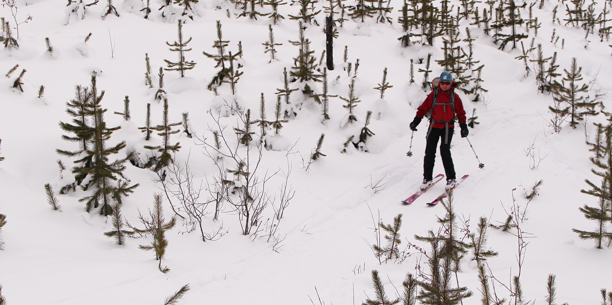
Zosia skis along the trail down the burned slope.
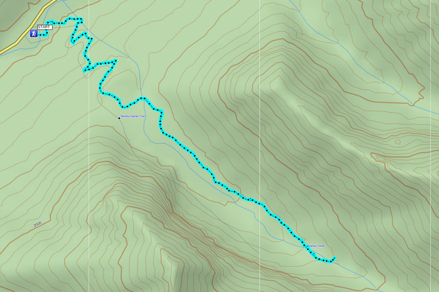 |
Total
Distance: 9.1 kilometres Round-Trip Time: 3 hours 9 minutes Net Elevation Gain: 376 metres |