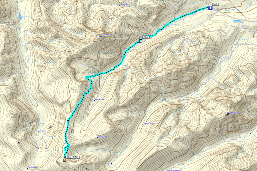
At the edge of the last gas well along the road, we ditched our bicycles and continued on foot along the trail heading further into the valley. Despite an abundance of fresh snow, the lengthy trail was easy to follow, and we hiked up to the broad crest of Victoria Ridge without any issues. As we climbed higher up the ridge, low clouds rolled in and severely limited our visibility. Although walking on the upper ridge was easy, we had to rely heavily on my GPS to keep us pointed in the right direction. Even when we reached the high point of Victoria Ridge, I was not entirely sure that we had made it, and I wandered a little further to try and convince myself that we could climb no higher.
After snapping a quick photo at the top, we saw no point in lingering and simply hustled back down the way we came. The clouds eventually cleared out enough for us to regain some visibility, but at this point, we decided not to risk another viewless summit and abandoned the traverse to Victoria Peak. Instead, we picked up the approach trail and hiked back to our bicycles with little fanfare. The disappointment of foregoing Victoria Peak was soon forgotten as we bombed down the road back to the trailhead in less than ten minutes. The return bicycle ride alone will be worth another visit to the area in the future.
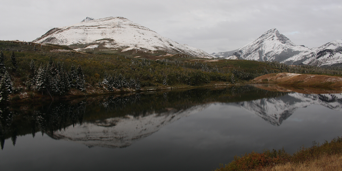
Pincher Ridge and Victoria Peak are reflected in Butcher's Lake.
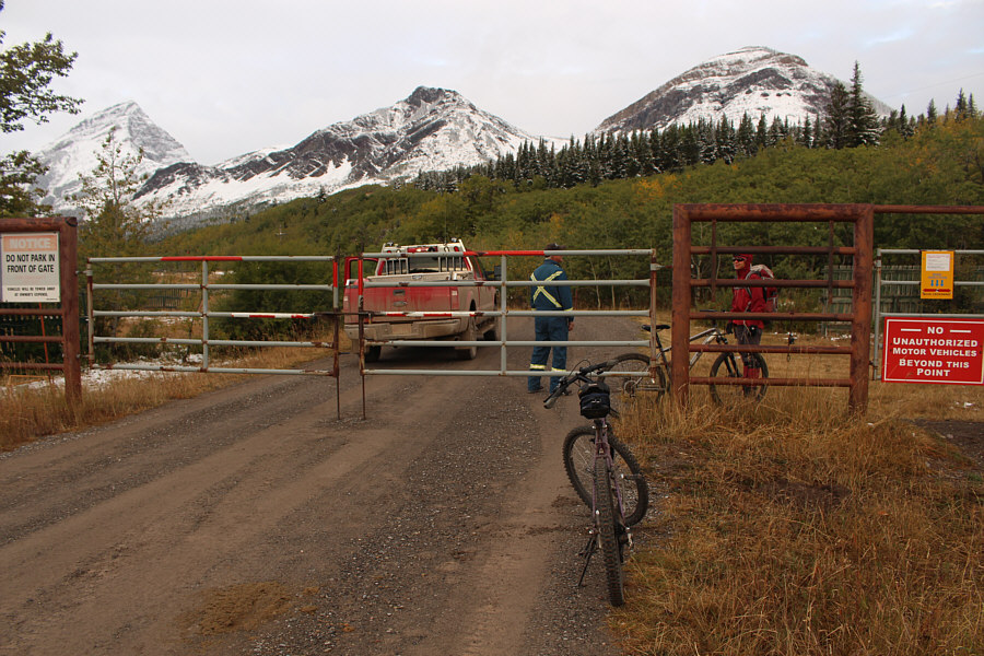 |
A maintenance worker chats with Zosia at the trailhead gate. |
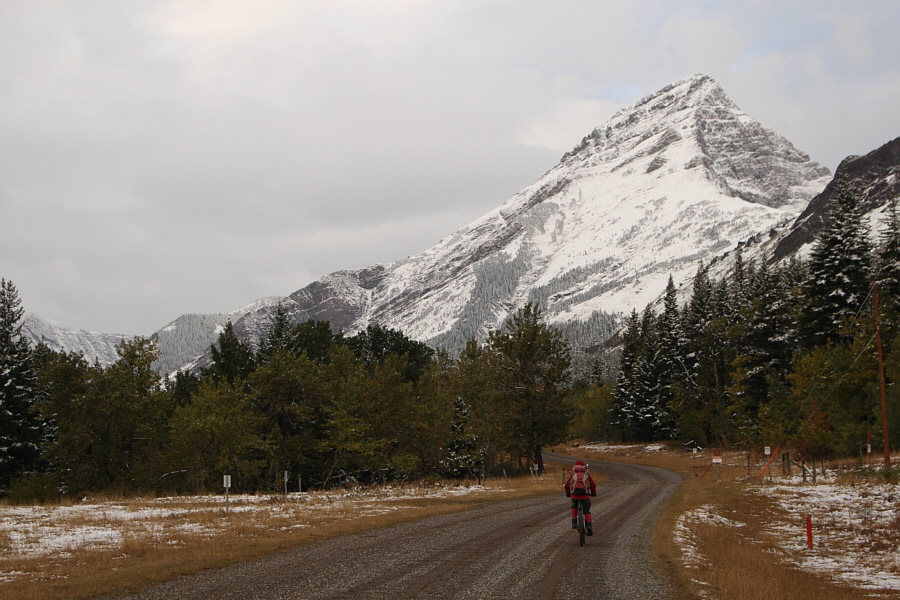 |
The well-maintained gravel road provides quick and easy access up Pincher Creek valley. |
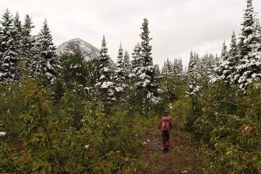 |
After ditching her bicycle, Zosia hikes along the trail which heads up Pincher Creek valley. |
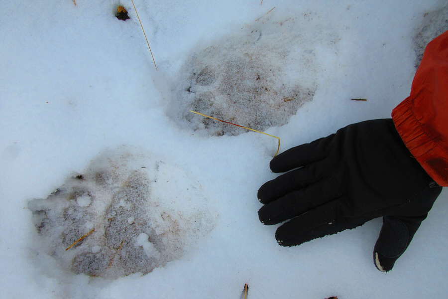 |
The snow reveals the presence of bears in the area. Photo courtesy of Zosia Zgolak |
 |
Views begin to open up along the trail. |

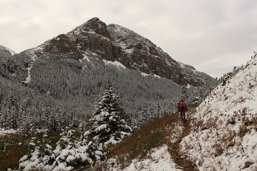
The trail eventually traverses below the unnamed high point at centre and gradually ascends to the crest of the ridge at far left.
 |
Zosia follows the trail across an open slope. |
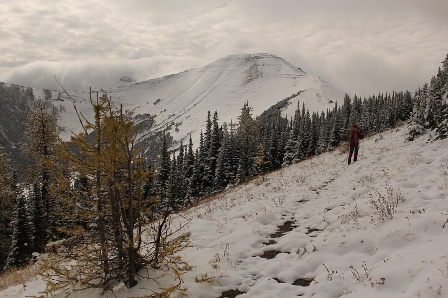 |
Here is one of the first clear views of Victoria Ridge. The actual high point is not visible though. |
 |
Zosia gains the crest of Victoria Ridge. |
 |
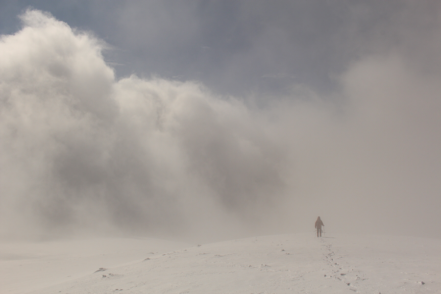
Visibility begins to deteriorate as Zosia climbs higher up the ridge. Some of this mist is actually smoke. |
 |
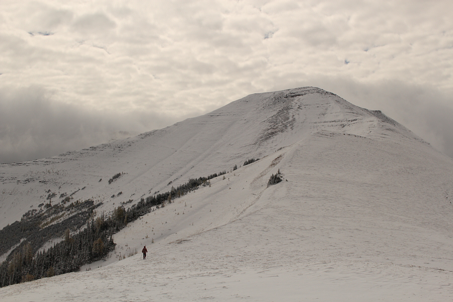
Clouds obscure the high point somewhere ahead of Zosia. |
 |
Zosia and Sonny stand on the high point of Victoria Ridge (2516 metres). |
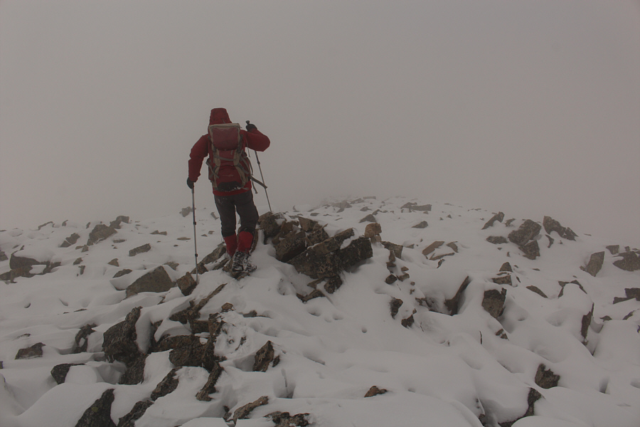 |
Zosia carefully makes her way across a field of snow-covered rubble. The snow hides many ankle-breaking holes. |
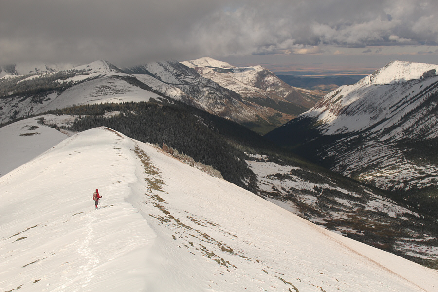 |
The sun comes out again over Pincher Creek valley. |
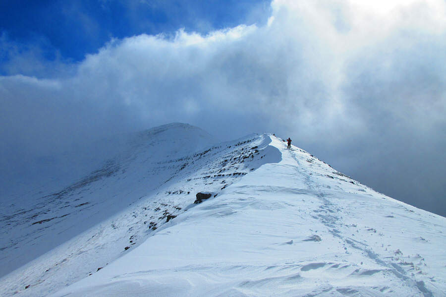 |
Sonny emerges from the mist and makes his way down the ridge. Photo courtesy of Zosia Zgolak |

Zosia cruises back to the trailhead along the access road.
 |
Total
Distance: 25.4 kilometres Round-Trip Time: 8 hours 50 minutes Net Elevation Gain: 982 metres |