During our drive into Organ Pipe Cactus National Monument, we passed two manned checkpoints on Highway 85. The US Border Patrol stops and checks all northbound vehicles for illegal smuggling of humans and drugs. Although we never felt unsafe while hiking in Organ Pipe Cactus Monument, the park has had its share of dangerous incidents in the past and posts warning signs for visitors to steer clear of suspicious people in the area. The visitors center is named for a park ranger who was murdered in 2002 while trying to apprehend drug cartel members who had crossed the Mexican border illegally.
From the trailhead, we hiked eastward, and almost immediately, we reached a fork in the trail. The left fork is the Estes Canyon trail, but we took the right fork which is the Bull Pasture trail. Although both trails eventually join together higher up, the Bull Pasture trail is the shorter and more direct option. The official trail ends at a shoulder of an unnamed ridge, but we continued from there on a narrower trail which winds around the south side of Bull Pasture. After traversing below a prominent pinnacle, we climbed a series of switchbacks going up a headwall of sorts. Some caution is needed here as the trail up the headwall is very steep with lots of loose rocks. Upon clearing the headwall, we resumed a more relaxed ascent along the west side of Mount Ajo's south ridge.
 |
Zosia reads an interpretive sign at the trailhead. The summit of Mount Ajo is visible at left through the gap. |
 |
Zosia walks past a typical organ pipe cactus for which the park is named. |
 |
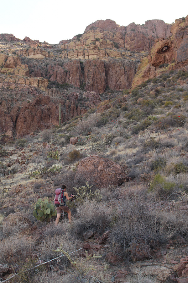
The trail circles around these cliffs to the left just before a junction with Estes Canyon trail. |
 |
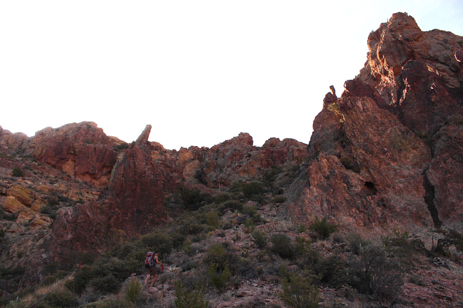
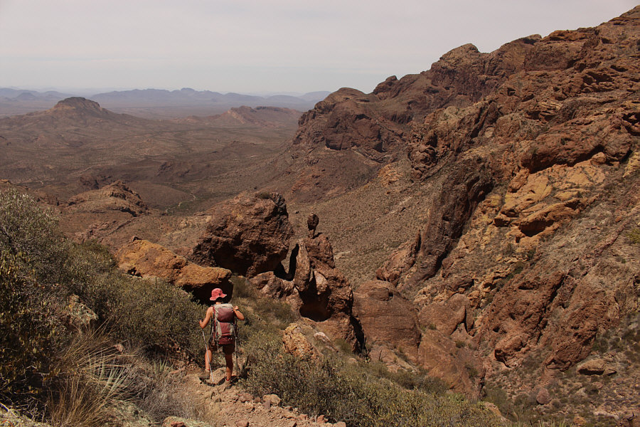
Zosia approaches a distinctive landmark near Bull Pasture. The trail traverses to the left from here. |
 |
Here is a close-up view of the flowers of an ocotillo. |
 |
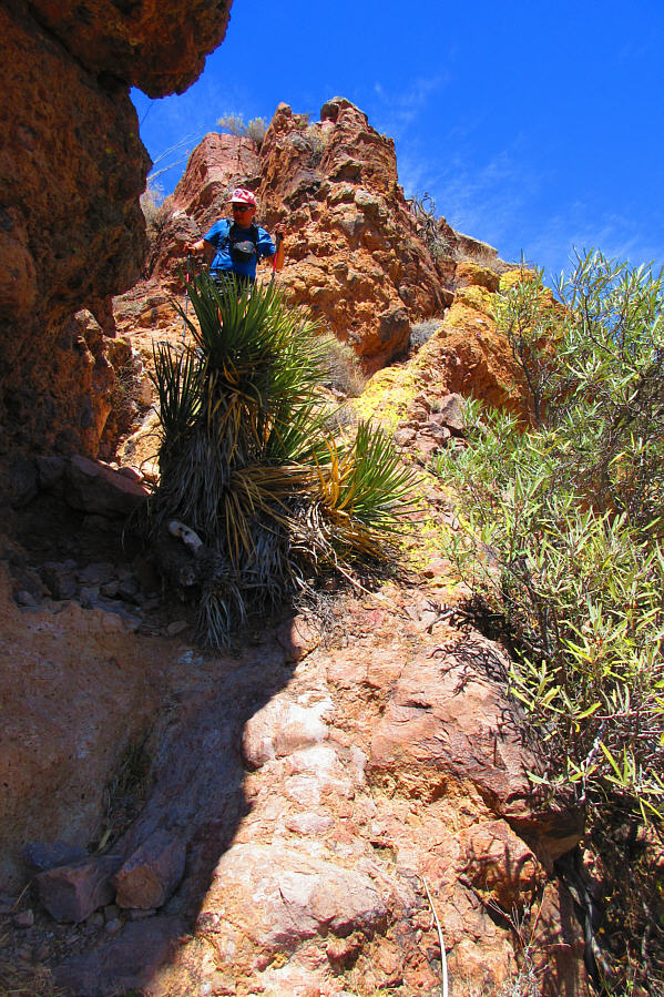
Zosia approaches the headwall and the steepest part of the climb. Note the natural arch at upper right. |
 |
The trail up the headwall is steep with lots of loose rocks. |
Despite being a bit of an eyesore, the solar panel and antenna installation on the summit provided us with some much-needed shade, and we enjoyed a well-deserved break out of the hot sun.
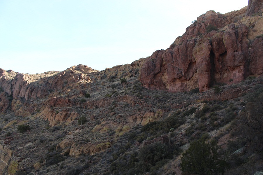 |
Above the headwall, the trail turns north and traverses below these cliff bands. |
 |
The trail climbs over the crest of the ridge here and skirts to the right of the false summit ahead. |
 |
Zosia scrambles up a chute which is guarded by an agave plant. Fortunately, previous hikers had blunted a few of the protruding pointy leaves. |
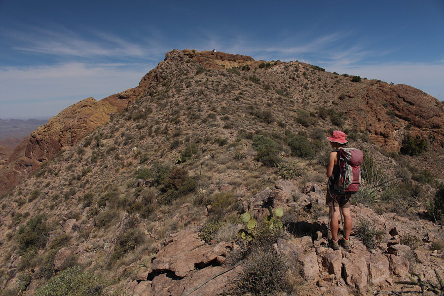 |
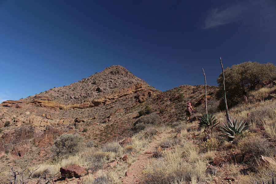
Zosia gets her first good look at the summit from the ridge. |
 |
The summit ridge is predominated by
yellowish rock.
Photo courtesy of Zosia Zgolak |
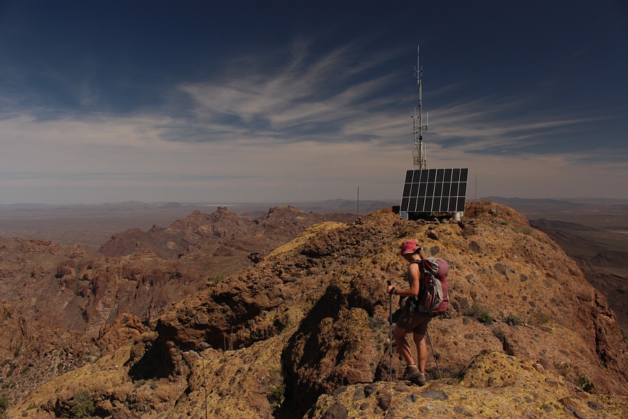 |
Among the many constructs on top of Mount Ajo are an antenna and a large solar panel. |
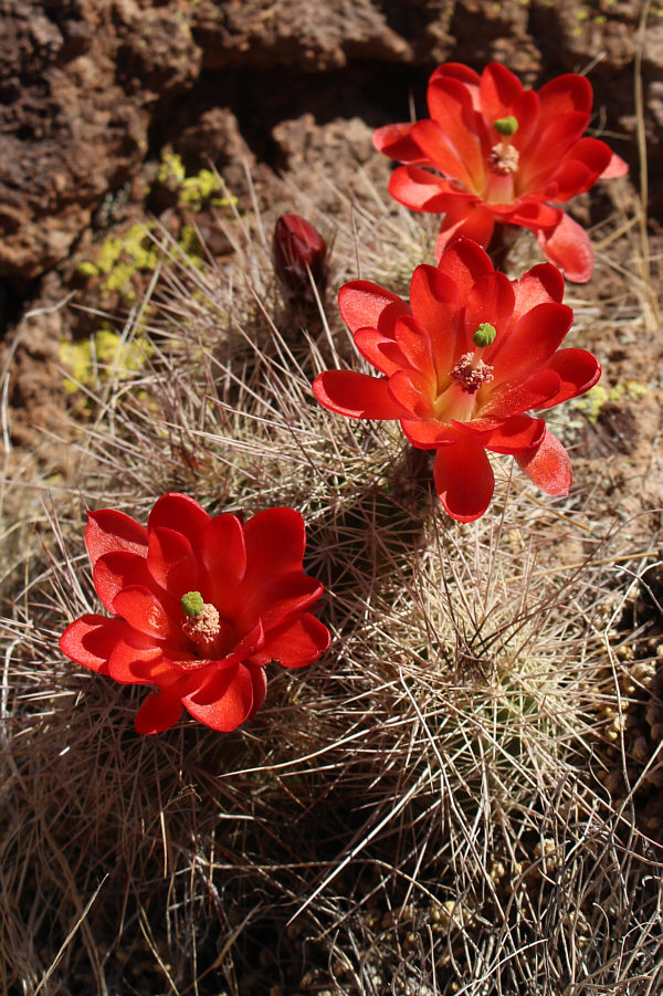 |
This blooming hedgehog cactus is located near the summit. |
 |
Zosia wanders to the north end of the summit ridge. |
 |
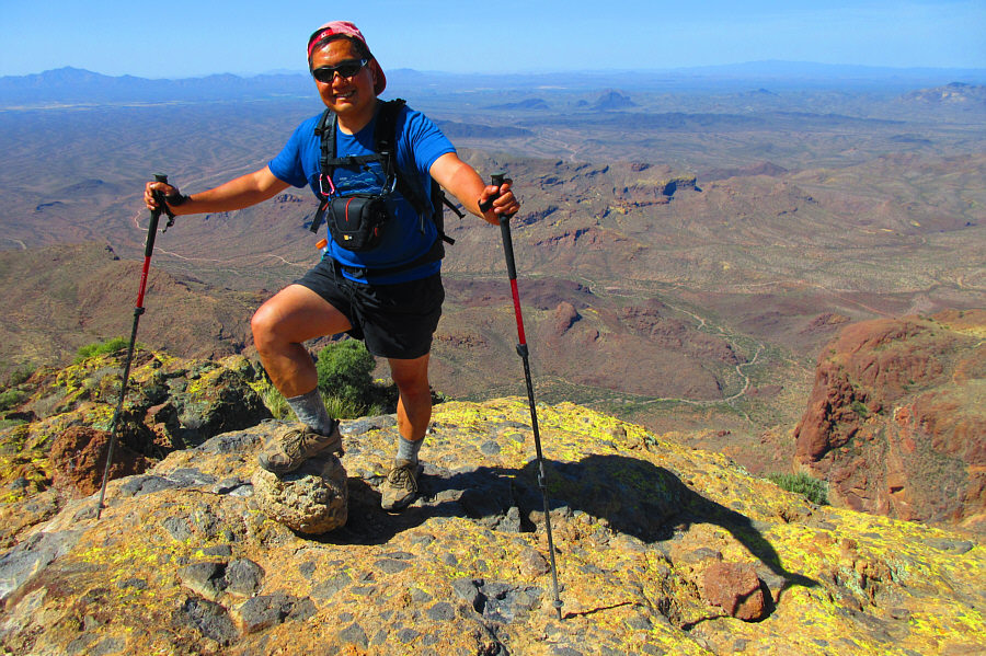
Sonny and Zosia stand on the summit ridge of Mount Ajo (1462 metres). |
 |
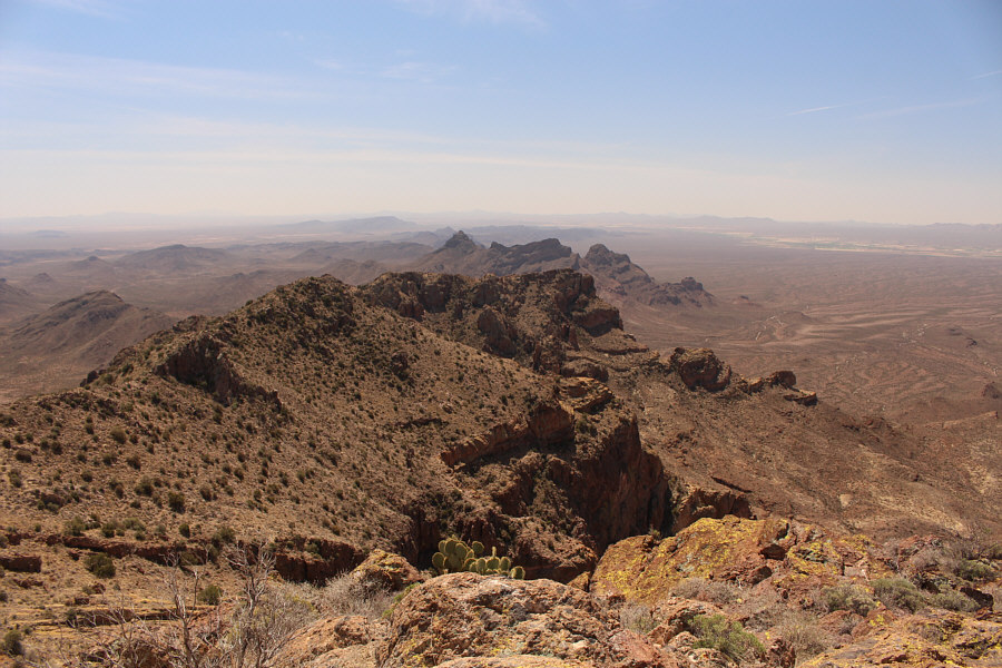
The rocks on top of Mount Ajo's western outlier are also mostly yellowish. |
 |
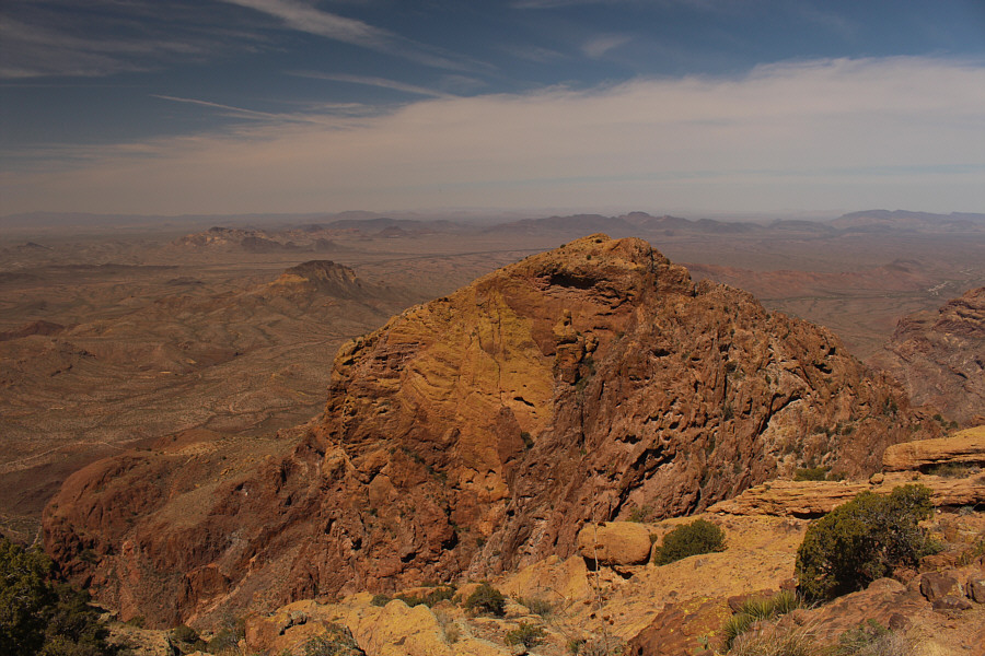
Most of the land to the east belongs to the Tohono O'odham Nation Reservation. |
 |
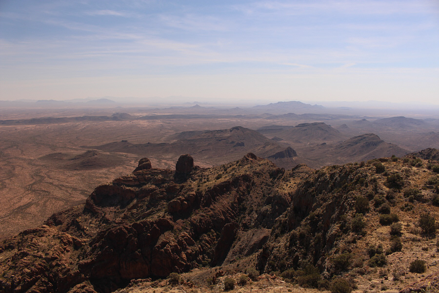
In this view to the south, almost everything beyond pointy Diaz Peak at centre is in Mexico. |
As was expected, we were stopped at both checkpoints along Highway 85 during our drive out, but the border patrol staff were friendly enough and promptly let us through once they realized that we were both Canadian.
 |
Descending the chute, Sonny tries
to figure out how to get around the agave plant without impaling
himself. Photo courtesy of Zosia Zgolak |
 |
Here is a comprehensive view of the steep trail through the headwall. |
 |
Zosia carefully descends the headwall. |
 |
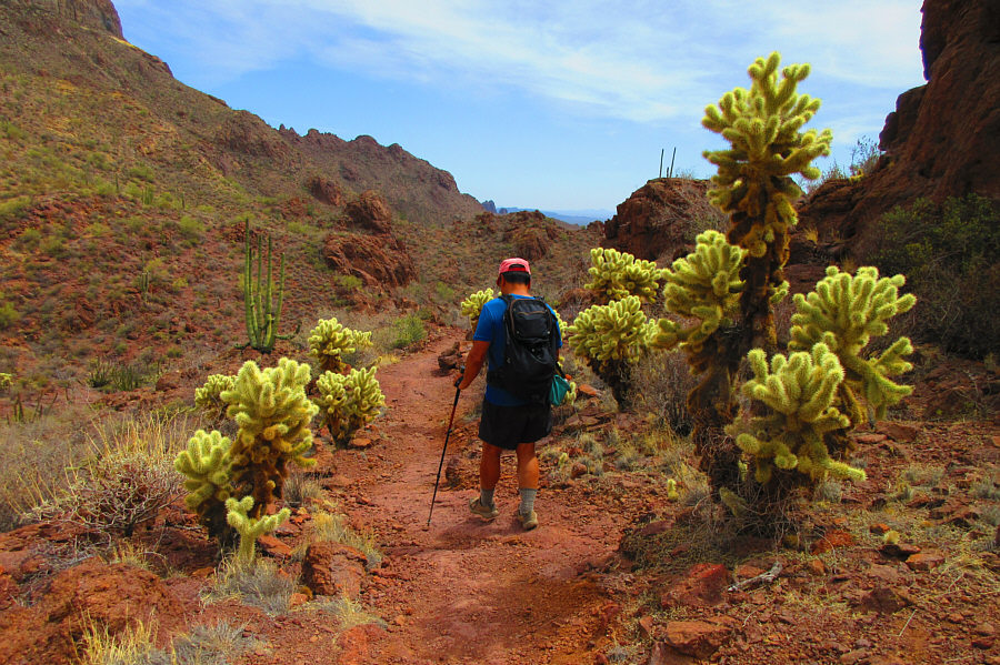
Sonny passes by a veritable desert
garden which includes saguaro cactus, organ pipe cactus, ocotillo,
cholla, and agave. Photo courtesy of Zosia Zgolak |
 |
Zosia arrives back at the end of the official trail to Bull Pasture. |
 |
Hiking back to the trailhead, Sonny
carefully watches his step while passing some jumping cholla. Photo courtesy of Zosia Zgolak |
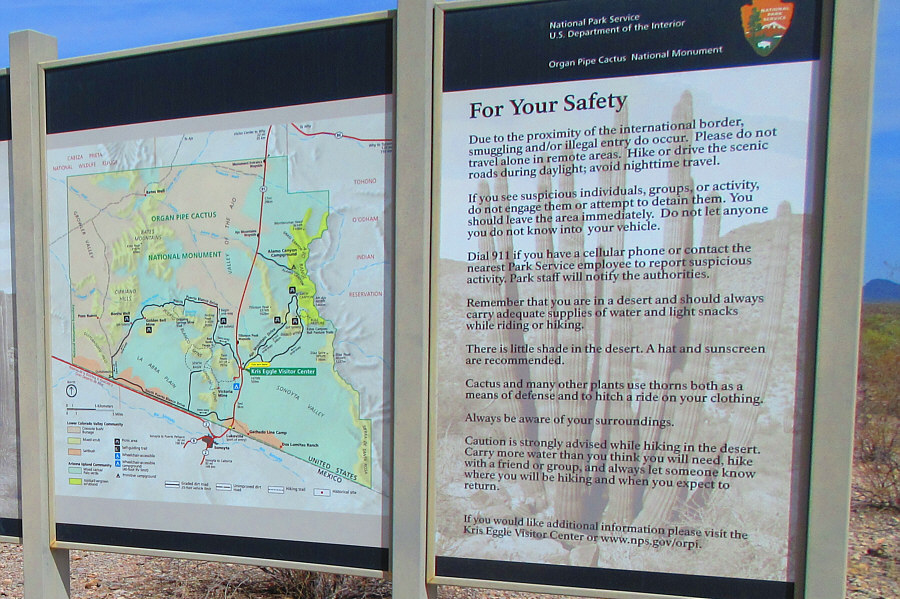 |
A sign along Ajo Mountain Drive
details the potential dangers of hiking in the area. Photo courtesy of Zosia Zgolak |
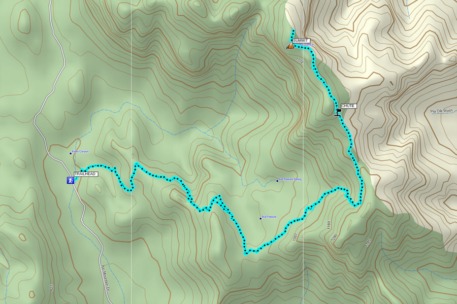 |
Total Distance:
~13.5 kilometres Round-Trip Time: 7 hours 59 minutes Net Elevation Gain: 742 metres |