BOU AVENUE
The Flatiron And Ironview Peak

Sitting near the northwest end of the Superstition Ridge line, The Flatiron is one of the most popular hikes near Phoenix, Arizona.  Zosia Zgolak and I headed out on 4 April 2018 to climb The Flatiron and also tag a nearby high point known as Ironview Peak as named on the Lost Dutchman State Park brochure map (Matt Hobbs refers to this summit as "Superstition Peak", but that name is now attributed to the Superstition Ridge line's true high point about 5.5 kilometres to the southeast).  While most people begin hiking up The Flatiron from Lost Dutchman State Park, we opted to forego paying the vehicle entrance fee ($7.00 USD) and start from a trailhead further north outside the park.  This option adds some significant time and distance to the trip but requires only minimal extra effort.  To get there, we drove northeast from Phoenix along Highway 88 (Apache Trail) and turned east onto First Water Road about 480 metres north of the entrance to Lost Dutchman State Park.  We then drove east for 1.1 kilometres to reach the trailhead parking area (no facilities) on the right.

From the trailhead, we hiked Jacob's Crosscut trail for about 3.2 kilometres to its junction with the Siphon Draw trail.  We then followed this well-traveled trail which climbs steadily up through the Siphon Draw, a scenic waterworn passageway.  Above the Siphon Draw, we made a wrong turn following a trail marked with cairns and ended up on the broad ridge west of The Flatiron.  Rather than backtrack, we hiked up the ridge toward the cliffs of The Flatiron and then traversed to climber's left across some scrubby terrain to reach a steep rocky gully.  We scrambled up this gully and eventually popped out onto the main access trail only a few minutes away from the top of The Flatiron.
Yay, we're in the right place! 
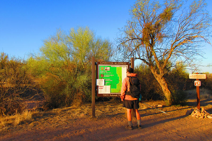
Sonny checks out a map board at the trailhead.

Photo courtesy of Zosia Zgolak

Actually, a bicycle would be great for this trail! 
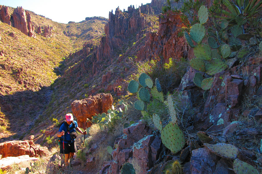
Zosia hikes easily along Jacob's Crosscut trail.
Where do they find water to drink around here?? 
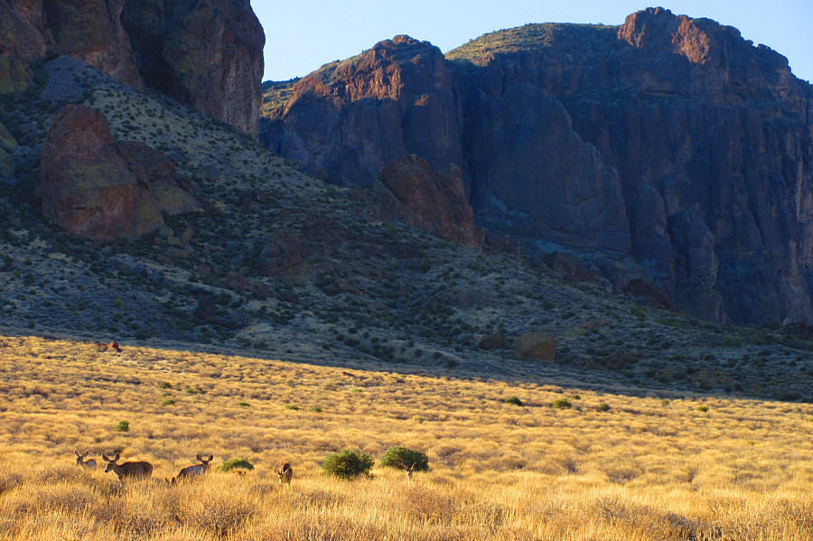
Some deer graze among the grass in front of the cliffs of the Superstition Mountains.

Photo courtesy of Zosia Zgolak

It took us 70 minutes to get here from our trailhead. 
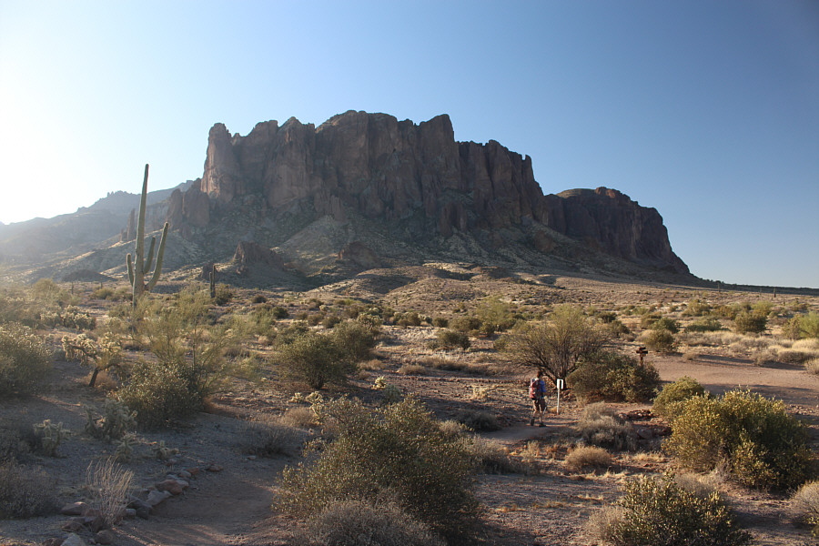
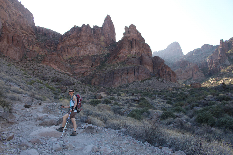
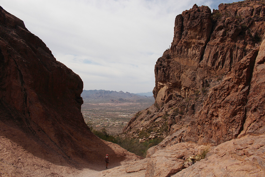
Zosia gains the Siphon Draw trail.  The Flatiron is visible through the gap at left.
At the time, I wasn't even sure if that was The Flatiron! 
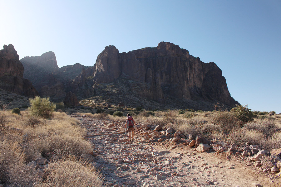
From here, The Flatiron still looks hopelessly far away.
Very cool hiking here! 
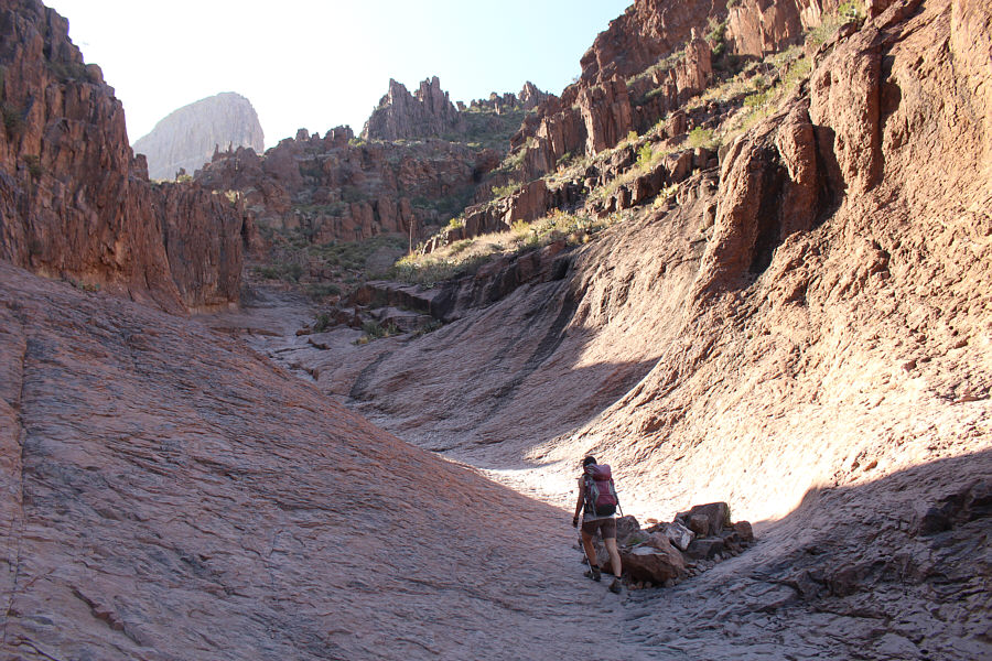
Zosia hikes up the Siphon Draw.
Well, judging by all the cairns we saw, we weren't the first ones to go this way either! 
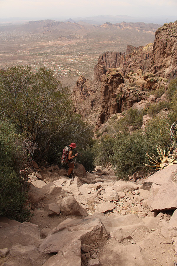
Sonny takes a wrong turn here.  The correct trail goes past the rocks behind him.

Photo courtesy of Zosia Zgolak

Oops! How did we end up here?? 
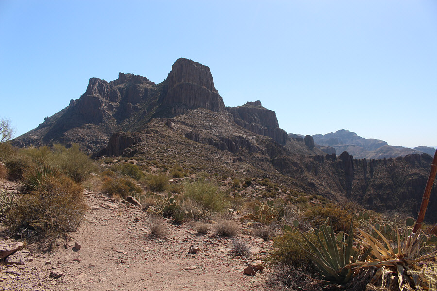
Here is the view of The Flatiron from the ridge to the west.  Also visible are Ironview Peak (left of The Flatiron) and Superstition Peak (distant right).
At least we'll be in the cool shade again when we traverse left below the cliffs! 
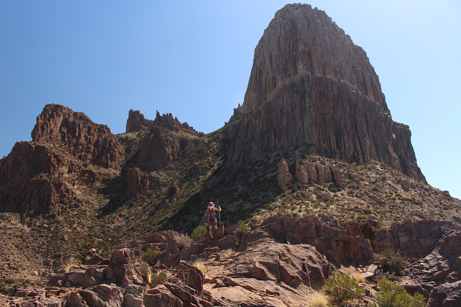
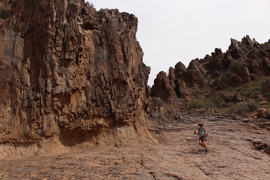
Zosia approaches the impressive cliffs of The Flatiron.
We bushwhacked a bit here, but it wasn't too bad. Zosia takes advantage of game trails to traverse the steep terrain below the cliffs of The Flatiron.
Off-route and taking a different gully up The Flatiron? No problemo! 
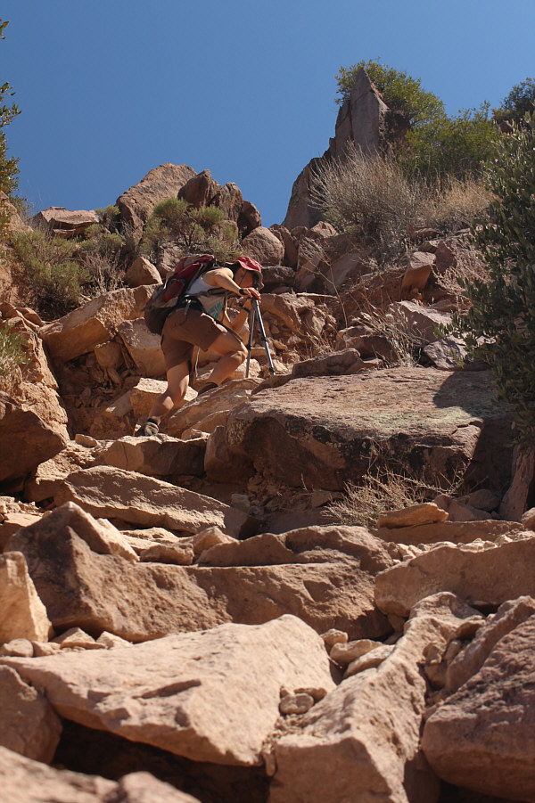
After traversing below the cliffs of The Flatiron, Zosia scrambles up a steep rocky gully.
That was a nice bit of scrambling to get back on track! Zosia regains the main access trail and heads for the top of The Flatiron.
Given how many people we saw going up the Siphon Draw trail, I was kinda surprised to see no one else on top of The Flatiron. 
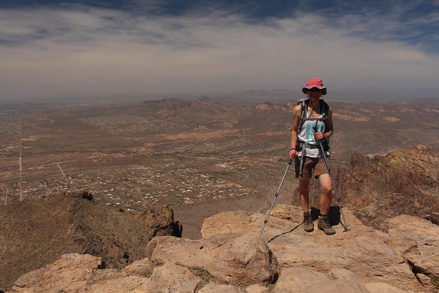
Sonny arrives at the top of The Flatiron (1422 metres).  Behind him to the right is Ironview Peak.

Photo courtesy of Zosia Zgolak

Hard to believe we were just down there a little while ago! Zosia stands atop The Flatiron.  The ridge west of The Flatiron can be seen at bottom left.
After tagging the top of The Flatiron, Zosia and I promptly retraced our steps back along the trail and continued northeast to ascend Ironview Peak.  Although technically easy, the ascent of Ironview Peak demands some route-finding and scrambling ability to get through the maze of rocks guarding the summit.  The blazing hot sun was quite unbearable by the time we reached the summit of Ironview Peak, and we stayed only long enough to snap a few photographs before retreating lower to take a longer break in the shade of some large rocks.

Once we got moving again, we had some difficulty getting out of the maze of rocks below the summit, but after a bit of trial and error, we eventually made it down to the main access trail.  Following blazes and cairns, we descended the normal access route for The Flatiron all the way back to where we took our wrong turn above the Siphon Draw.  Some of the upper parts of the normal access route are quite steep and require hands-on scrambling skills--definitely not a place for novice hikers.  From the top of the Siphon Draw, the rest of our descent was straightforward.  While the warm temperatures definitely made the long walk back to our trailhead feel even longer, we were fortunate to be partly shielded from the full brunt of the hot sun by some late afternoon cloud cover.

R.I.P.

From the top of The Flatiron, Zosia heads toward Ironview Peak (left).  Sadly, a plane crashed into the cliffs of Ironview Peak on 23 November 2011 killing 6 people including a father and his 3 young children.


Zosia is the Maze Runner! 
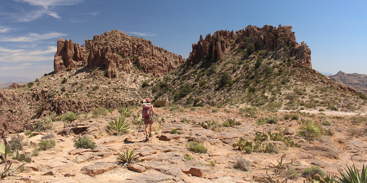
Zosia approaches the confusing maze of rocks below the summit of Ironview Peak.
Nice butt, Zosia! The route to the summit of Ironview Peak has some interesting moments.

Whew! It's bloody hot up here!

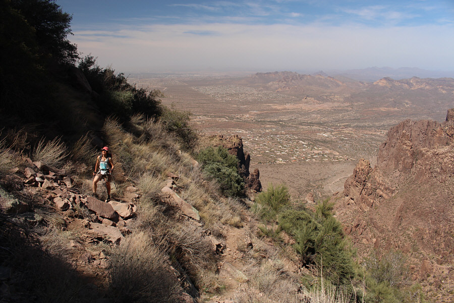
Sonny and Zosia reach the summit of Ironview Peak (1507 metres).


Zosia is already looking for a shady spot to take a break!

The city of Phoenix is spread out to the west.


Can you spot a sliver of the Salt River in this photo? 
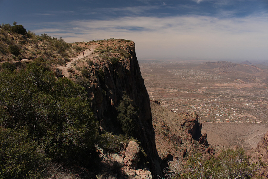
The Four Peaks massif is the most notable bump to the north.
Maybe I'll come back someday to traverse the whole ridge...or not! Superstition Peak, the highest point of the Superstition Ridge line, lies to the southeast.  Also visible at left is Weavers Needle.
Looks more like a ship's prow to me...damn! We missed our chance to do the famous "I'm flying!" scene from Titanic! 
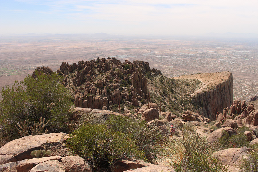
Ironview Peak gets its name from this view of The Flatiron.

Could it possibly be the same one we saw the day before on Superstition Peak??

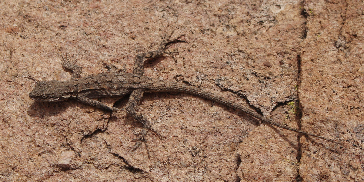
A small lizard makes an appearance on a rock.


There are some surprisingly steep sections near the top of this route. 
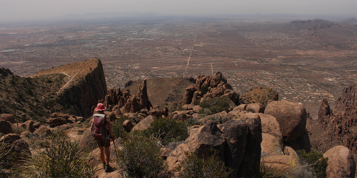
Zosia descends the normal access route for The Flatiron.
I think most casual hikers only get this far before turning around. Zosia descends the Siphon Draw.
Back to more mundane walking... Zosia exits the bottom of the Siphon Draw.
Beautiful but deadly...the cholla, that is! 
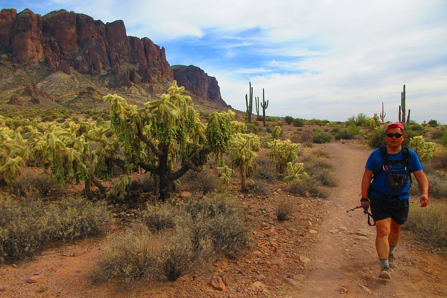
Back on Jacob's Crosscut trail, Sonny marches past a forest of chain fruit cholla.

Photo courtesy of Zosia Zgolak
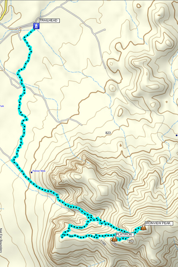
This was supposed to be "rest day hike" for us... Total Distance:  16.1 kilometres
Round-Trip Time:  9 hours 21 minutes
Net Elevation Gain:  868 metres

GPX Data