BOU AVENUE
Mazatzal Peak

On 5 April 2018, Zosia Zgolak and I ascended Mazatzal Peak, the highest point in the Mazatzal Mountains of south central Arizona.  For reference, we used the route description found here.  The night before, we drove north from Phoenix along Highway 87 and turned west onto Barnhardt Road (Forestry Road 419) about 5.7 kilometres north of the junction with Highway 188.  The trailhead (no facilities) is located at the end of Barnhardt Road (gravel but okay for 2WD sedans) about 8.1 kilometres from the highway.  After sleeping the night at the trailhead, we got up before dawn and began hiking Barnhardt trail which immediately passes a junction with Shake Tree trail before climbing steadily up the south side of Barnhardt Canyon.  While the trail is well-maintained and never too steep, it is convoluted and feels long-winded at times.

After hiking generally westward along the trail for about 3.5 hours, we eventually arrived at the start of Mazatzal Peak's long northwest ridge.  A cairn marks the point of departure from Barnhardt trail, and we pushed up through a somewhat dense cover of manzanita bushes to a semi-open ridge crest.  We then followed the ridge all the way up to the summit, a climb of about 550 metres over a distance of about 3 kilometres.  Although there is nothing technically difficult about the ascent, the ridge is quite bushy making hiking unpleasant if not aggravating. Unlike their counterparts in the Canadian Rockies, all the bushes here are thorny and have an annoying tendency to grab and tug at both clothing and skin.  I had already changed out of my long pants and into shorts earlier on the trail, but because of warm temperatures, I was stubbornly hesitant to change back into my pants.  As a result, my legs looked like they had gotten into a fight with a feral cat by the time I reached the summit.  In retrospect, it is sobering to realize that we had not even experienced the worst of the bushwhacking yet.

For our return trip, we opted to try the alternate descent route via Suicide Ridge and its northwest arm.  Death by a thousand cuts would aptly describe the hellish bushwhack down this route which is understandably not well-traveled.  The northwest arm of Suicide Ridge is easy enough to follow, but we spent a lot of effort weaving through the thorny bushes which clutter the route.  Occasional promising breaks in the undergrowth would inevitably disappear in a new tangle of woody nastiness, and our progress was painfully slow, both figuratively and literally.  When we got within sight of Barnhardt trail a few hundred metres away, we abandoned the ridge crest probably a little too soon.  We consequently endured the worst bushwhacking of the day thrashing through unyielding thickets of mazanitas right up to the edge of the trail.  After regaining the trail, we took a short break to mentally collect ourselves and patch up any dangling pieces of flesh before settling into a long but uneventful hike back to the trailhead.
Proof that I started this hike with long pants! Sonny enters Mazatzal Wilderness on Barnhardt Trail.

Photo courtesy of Zosia Zgolak

There was actually a flowing creek in the valley bottom here, but it was too far removed from the trail to be of practical use for filling water bottles. 
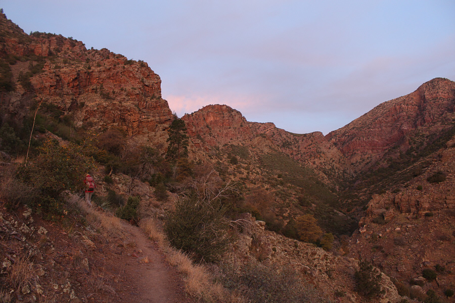
Zosia follows the trail into Barhardt Canyon.
Bored yet? 
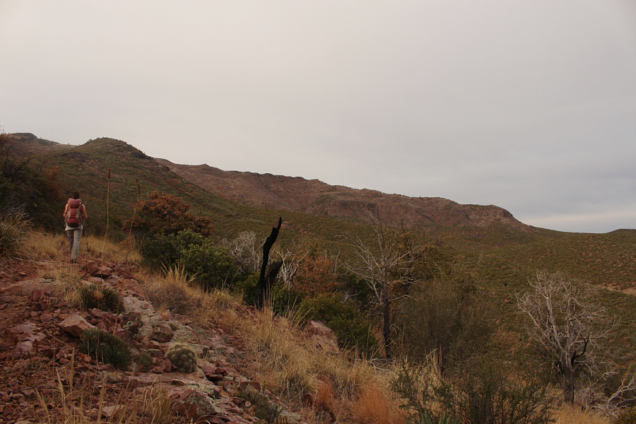
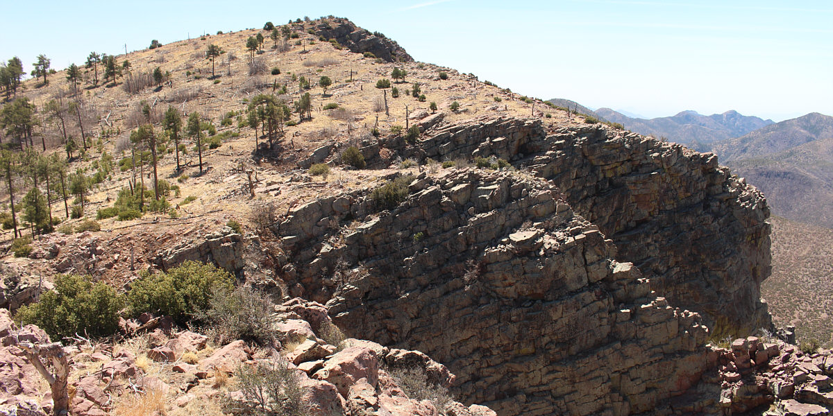
The trail eventually traverses all the way across and over the low saddle at far right.  The route to Mazatzal Peak leaves the trail near the saddle and climbs up the skyline ridge.
It is rare for a mountain as prominent as Mazatzal Peak to NOT have a trail that goes all the way up to the summit! 
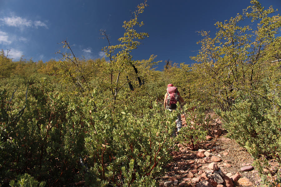
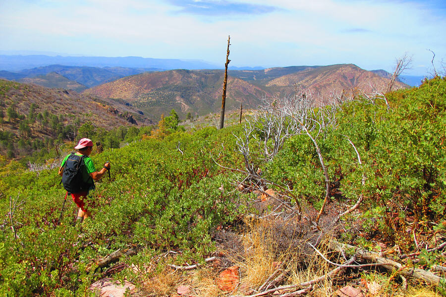
Zosia leaves the trail and climbs up the bushy ridge.  Note the cairn at bottom right.
Doesn't look so bad from here... 
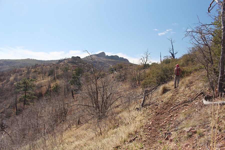
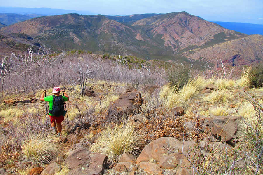
Zosia gets her first clear view of Mazatzal Peak's summit in the distance.  The seemingly highest peak visible is actually a false summit.
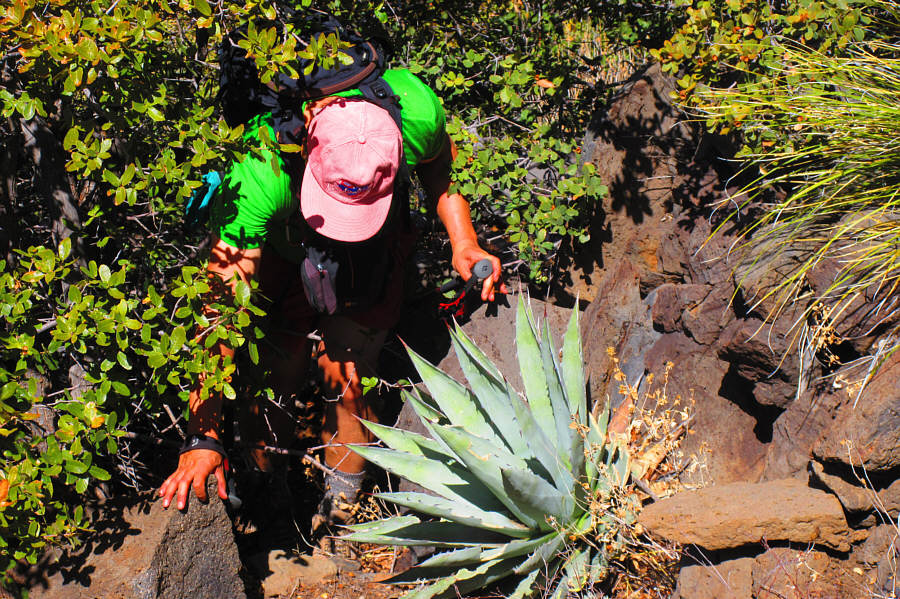
Okay, this is rather nasty! Sonny tries to avoid getting stabbed in the eye by the pointy leaves of an agave plant as he squeezes through a tight opening in some prickly bushes.

Photo courtesy of Zosia Zgolak

Some parts of the ridge were actually enjoyable! Zosia scrambles over some boulders along the ridge.
Not too difficult to travel, but not easy either! 
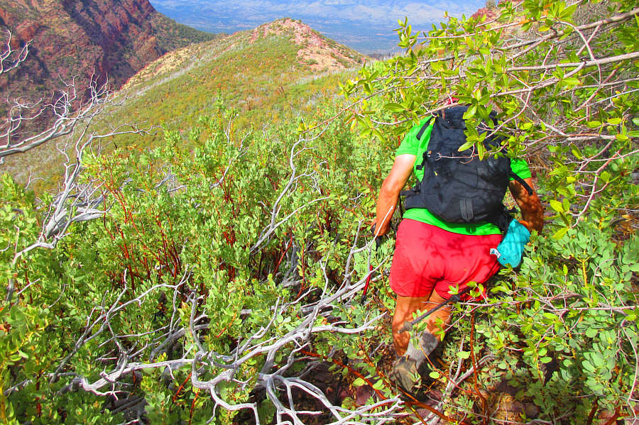
Zosia weaves her way through a bunch of deadfall on the slope before the false summit.

Try hugging the cliff top all the way up!

Travel is much easier on the final approach to the true summit.


Look at my bloody legs! Zosia and Sonny stand on the summit of Mazatzal Peak (2402 metres).
It's amazing what you can see from up here! 
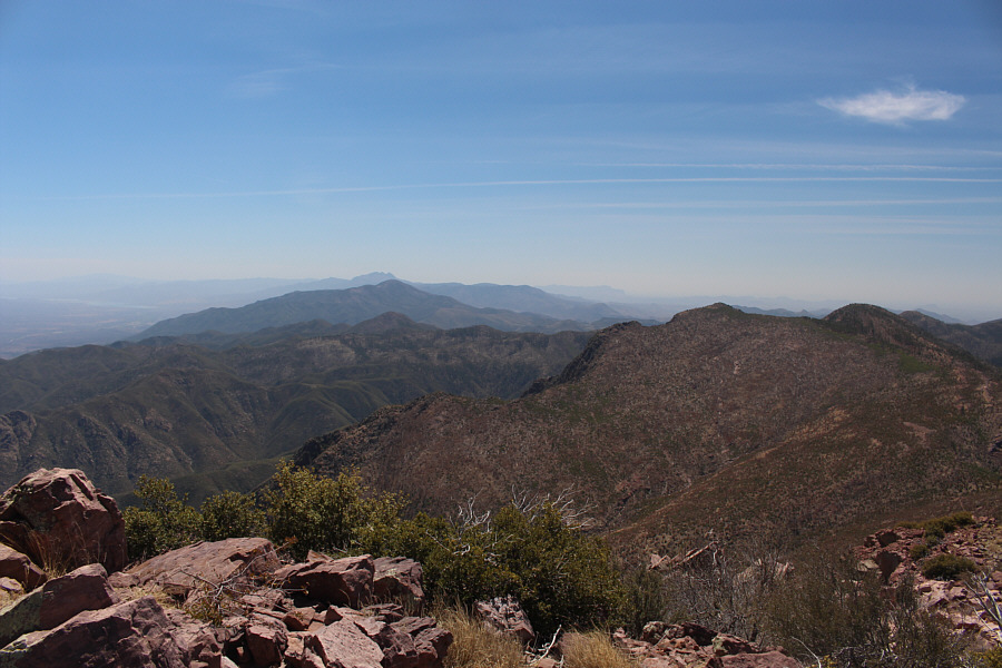
Left of centre in this view to the south are (from nearest to farthest) Pine Butte, Mount Ord and Four Peaks.  Barely visible at distant far left is Theodore Roosevelt Lake.  Also barely visible on the distant horizon just right of centre is the Superstition Ridge line.
Although it's not visible in this photograph, we could see a gleaming white ball on top of Humboldt Mountain on the far side of the reservoir. 
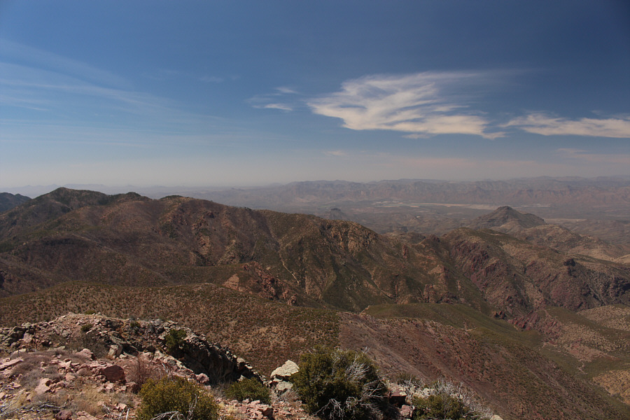
The most notable feature in this view to the southwest is Horseshoe Reservoir at distant right.
Beautiful remote country that may be worth exploring in the future... 
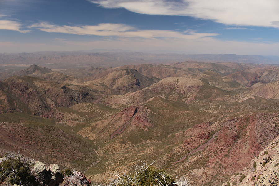
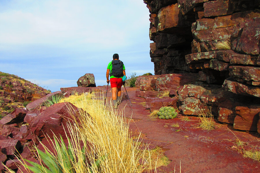
Looking west, the dark peak at far left is Table Mountain.  Part of the trail which circumnavigates Mazatzal Peak can be seen at lower right.
That's our descent route...for better or worse! 
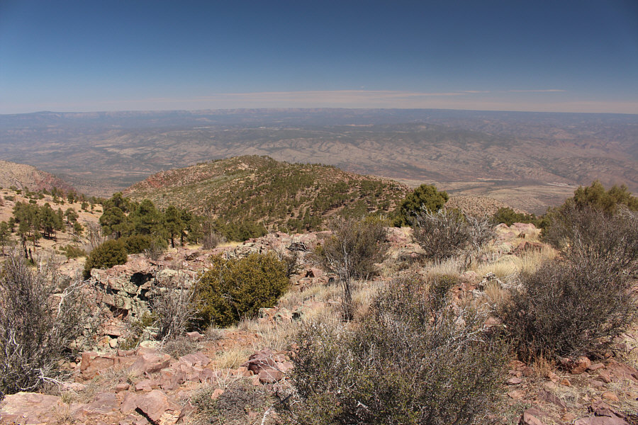
The forested slopes of Suicide Ridge can be seen to the north.
Maybe I should have put my long pants back on here... Sonny wades into some manzanita bushes while descending Suicide Ridge.

Photo courtesy of Zosia Zgolak

Unfortunately, the burnt trees are just as nasty to walk through as the live ones! 
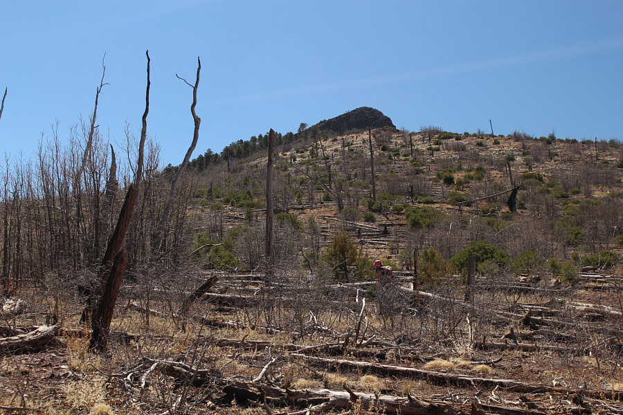
A previous wildfire has not lessened the bushiness of Suicide Ridge's northwest arm.

Photo courtesy of Zosia Zgolak

ARRRRRRRRRRRRRRGHHHHHHHHHHHHHH!!!!!!!!!!!! The bushwhacking is the fiercest just before Sonny reaches Barnhardt Trail.

Photo courtesy of Zosia Zgolak

@#$%^&!!! Still mostly in one piece, Sonny limps back to the trailhead.

Photo courtesy of Zosia Zgolak
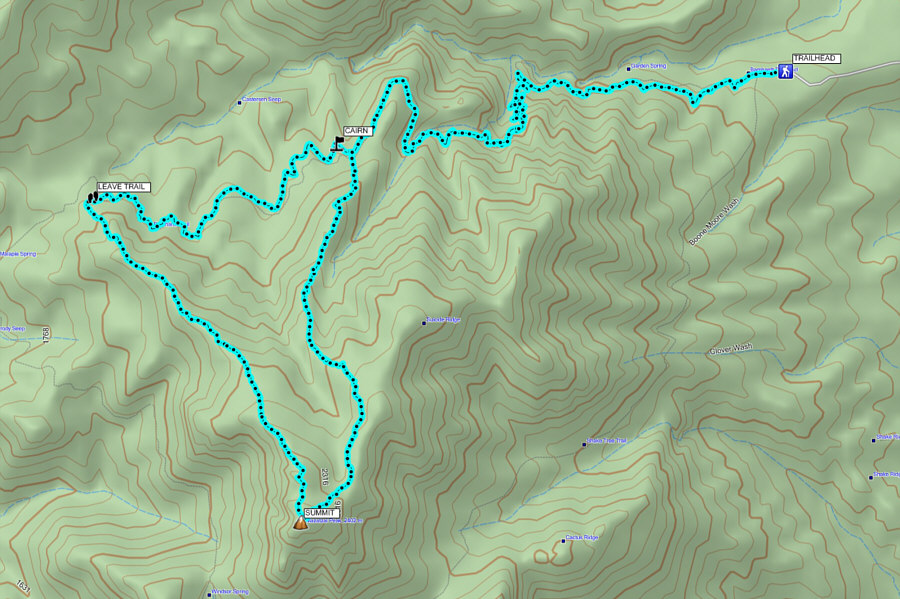
Recommended for masochists only... Total Distance:  23.3 kilometres
Round-Trip Time:  11 hours 54 minutes
Net Elevation Gain:  1131 metres

GPX Data