BOU AVENUE
Moose Mountain Loop

On 10 February 2018, Ali Shariat, Zosia Zgolak and I headed out to West Bragg Creek in Alberta's Kananaskis Country to ski Moose Mountain Loop as described in Gillean Daffern's out-of-print guidebook, Kananaskis Country Ski Trails.  We were anticipating a relatively easy outing, and as such, we used light touring skis and did not feel the need to bring climbing skins.  The trip started innocuously as we skied the south leg of the groomed Moose Loop trail to its high point where it begins to curve north (and eventually back east).  We left the groomed trail here and turned west onto a wide reclaimed exploration road which undulates a bit before arriving at an open viewpoint overlooking numerous cut blocks.  One of these cut blocks would eventually be our route back to the groomed trail system.  From the viewpoint, we dropped down slightly before resuming our climb up the road.
Loose moose! 
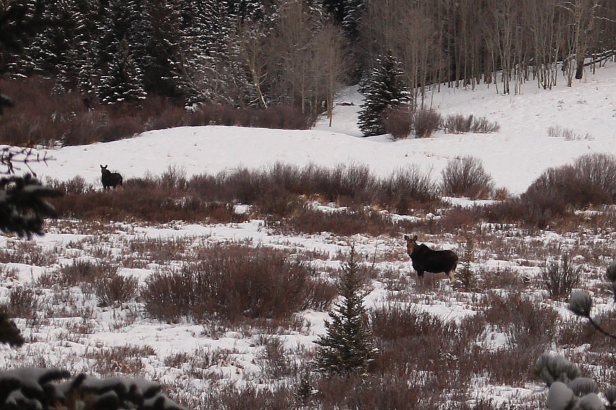
Fittingly, a couple of moose appear near the Moose Loop trail.
Should we be worried that no one else has come this way?? 
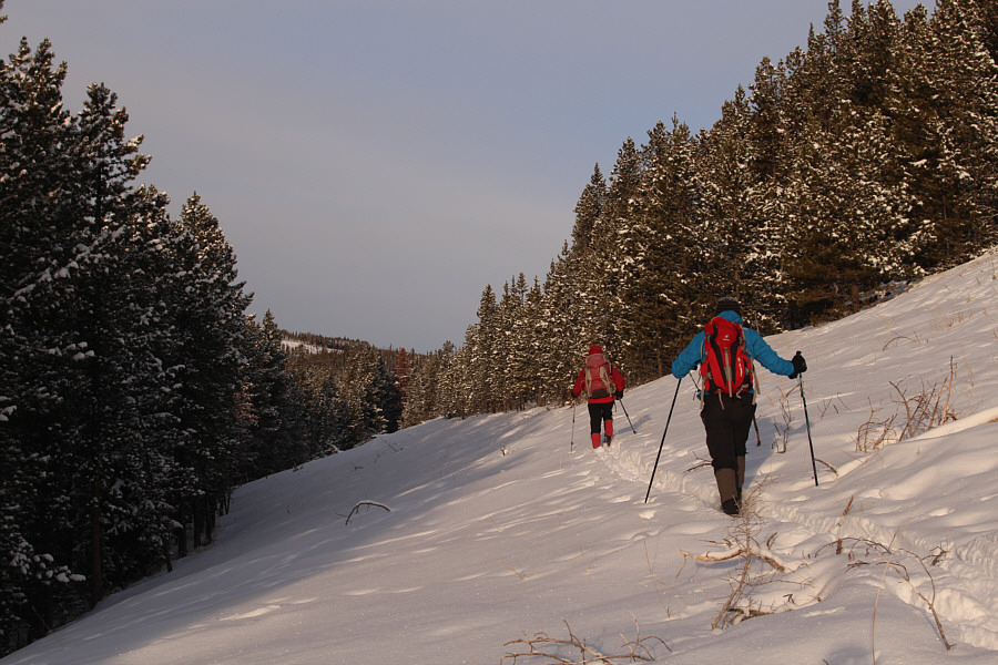
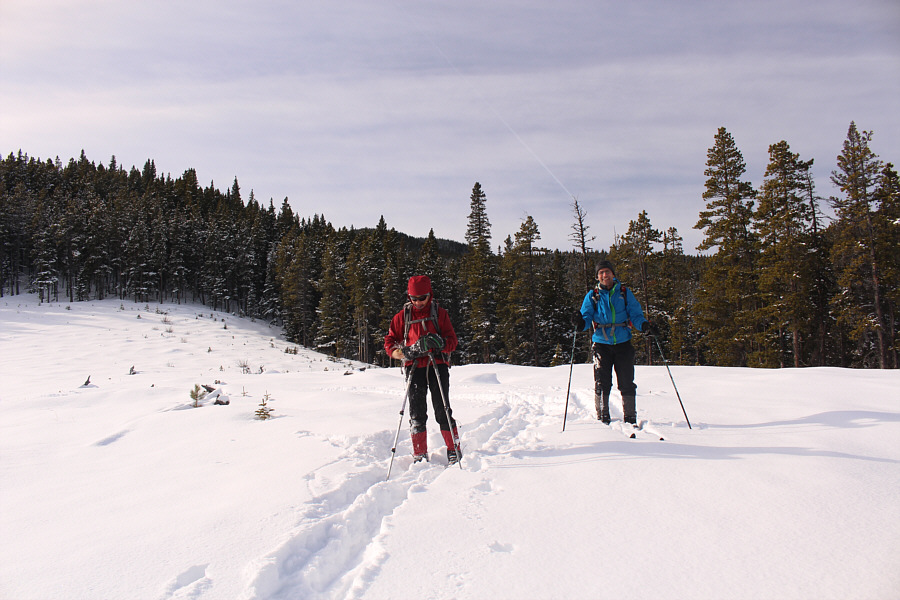
Zosia and Ali leave the groomed trail and head up a reclaimed road.
Maybe this won't be so bad after all...

The reclaimed road is initially very pleasant to ski.

You could almost do turns down this slope! 
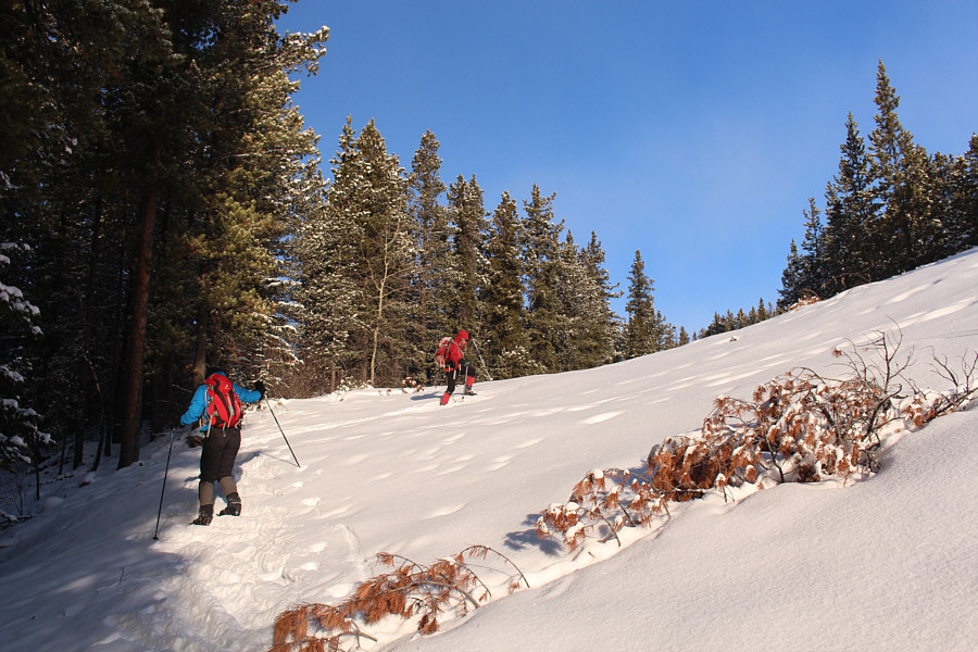
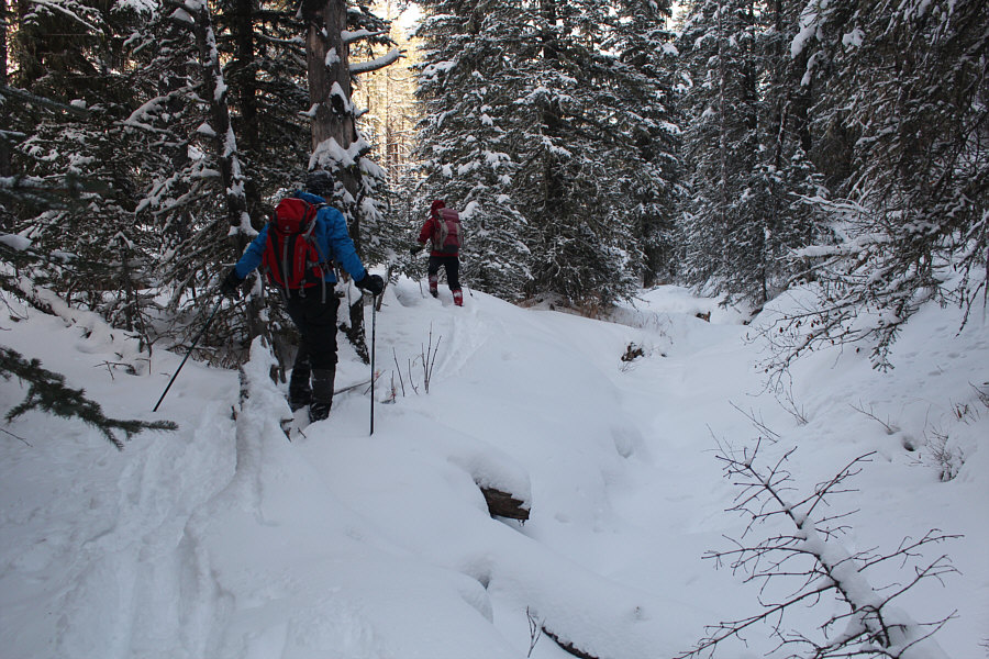
Climbing such a moderate slope without skins is challenging.
This is as good as it gets for views! 
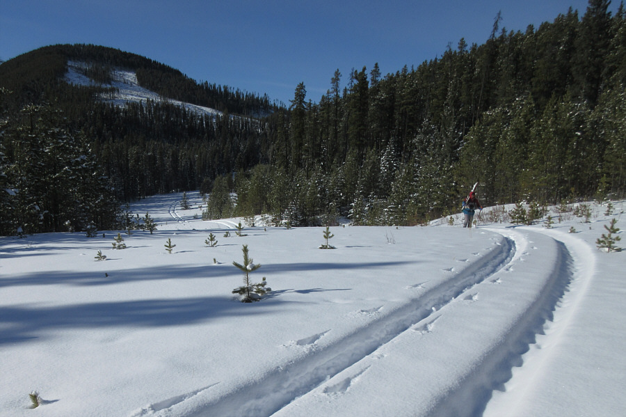
Ali and Zosia reach an open area with views of Moose Mountain in the distance.
As we continued westward, the road became progressively more challenging to ski.  Bushes and trees encroached on the road, and the increasing steepness made us wish we had brought climbing skins.  We floundered quite a bit, and at one point, Ali considered turning around.  Somehow, Zosia and I convinced him to persevere a bit longer with the promise of descending a "delectable hill" later on as described in Daffern's guidebook.  In retrospect, we should have heeded Ali and all turned around, but the road seemed to improve once we put the bulk of the climbing behind us near the west end of the loop.

Although we were only about three kilometres west of the busy West Bragg Creek ski area, there was a palpable sense of isolation in this neck of the woods as we saw virtually no signs of human passage.  I was also growing somewhat concerned about the lateness of the day and felt some urgency to start heading back eastward.  However, the prospect of returning the way we came seemed unappealing at this point, and we continued forward with our intended loop.
We shoulda listened to Ali and turned around here! Sonny and Ali struggle uphill through bushes and unconsolidated snow.

Photo courtesy of Zosia Zgolak

At least we're starting to go downhill now! 
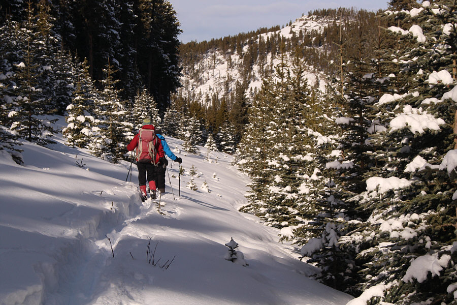
After passing the high point of the loop, Zosia and Ali continue to break trail on the reclaimed road.
We eventually arrived at an old gas well site which is supposedly the start of Daffern's "delectable hill", but the continuation of the road was not readily apparent to us.  Checking Daffern's route description and my GPS unit, we took our best guess and headed toward the edge of the trees in a northeast direction.  We found what appeared to be the continuation of the road, but it was so choked with trees that it was almost unrecognizable and virtually unskiable.  We ended up descending through the forest to skier's right of the road, but with lots of deadfall and bushes to dodge, this was no easy task on light touring skis.

Partway on this descent, my skis slipped out from under me, and I fell onto my back.  Normally, this would not have been a big deal, but on this occasion, I was speared in my left rib cage by a small tree stump sticking out of the snow.  The pain was excruciating, and lying on the ground, I screamed in agony for what seemed like an eternity.  By the time I finally got over the initial shock, Ali and Zosia had come to assist me, and I needed their help to kick off my skis so that I could get up.  I have experienced cracked ribs before, but because I was able to get up on my own, this felt more like just a very bad bruise.  In any case, I convinced Ali and Zosia that I was okay to continue, but we all agreed that it was not worth trying to ski down through the forest on our light touring gear.
Good place for yo-yo turns? Ali and Sonny approach an old gas well site.

Photo courtesy of Zosia Zgolak

This is where it starts to get tricky... Zosia and Ali stop for a breather at the old gas well site.
How "delectable"...NOT!

The old road (left) described by Gillean Daffern has been completely reclaimed.  Zosia is forced to descend through the more open forest at right.

Taking off our skis, we post-holed and bushwhacked the rest of the way down the slope to a creek bottom.  Here, we put our skis back on and managed to muddle our way out of the valley and into the aforementioned cut blocks we saw earlier in the day.  Following Daffern's "shortcut" route, we followed successive cut blocks all the way back to the Moose Loop trail and emerged about 800 metres north of where we initially started on the reclaimed exploration road.  Relieved to be back on a groomed trail, we made short work of the remaining ski back to the trailhead.
Not bad skiing here, but watch out for wet spots! Ali and Zosia ski out the creek at the bottom of Daffern's "delectable hill".
The worst is over...I think! Sonny carries his skis up a slight hill en route back to civilization.

Photo courtesy of Zosia Zgolak

Only recommended for masochists! Total Distance: 19.3 kilometres
Total Time: 8 hours 33 minutes
Total Elevation Gain: 534 metres

GPX Data

Happy Valentine's Day! The aftermath of Sonny's spill manifests itself a few days later.