Photo courtesy of Zosia Zgolak

Photo courtesy of Zosia Zgolak
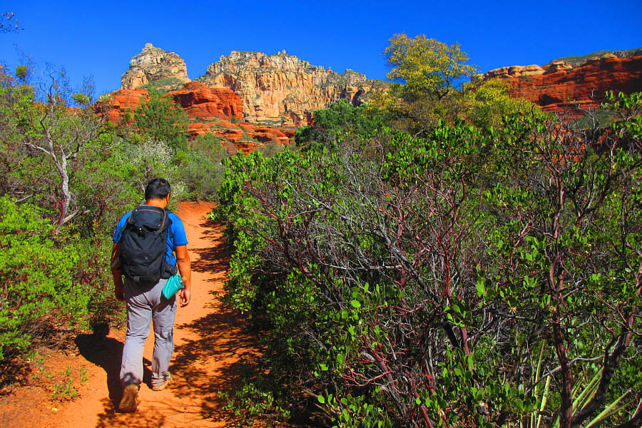
Photo courtesy of Zosia Zgolak
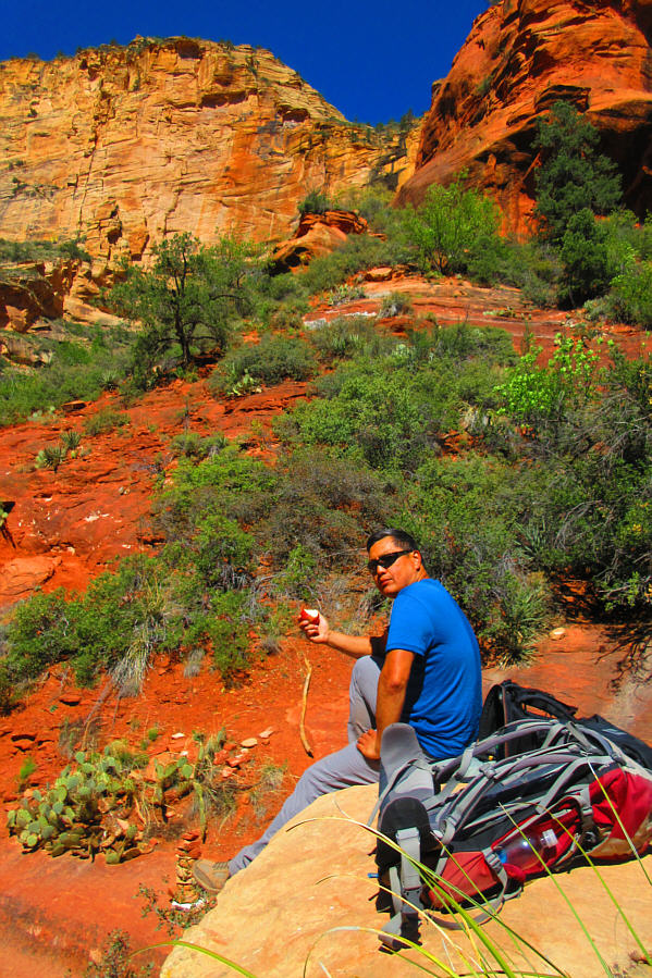
Photo courtesy of Zosia Zgolak
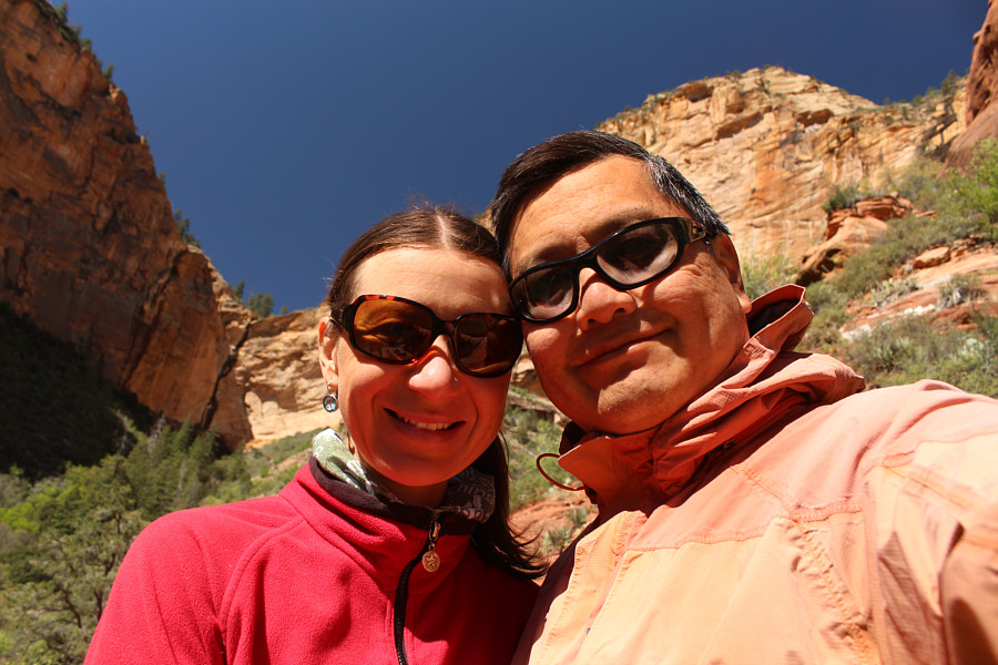

Photo courtesy of Zosia Zgolak


Round-Trip Time: 3 hours 42 minutes
Net Elevation Gain: 277 metres
|
|
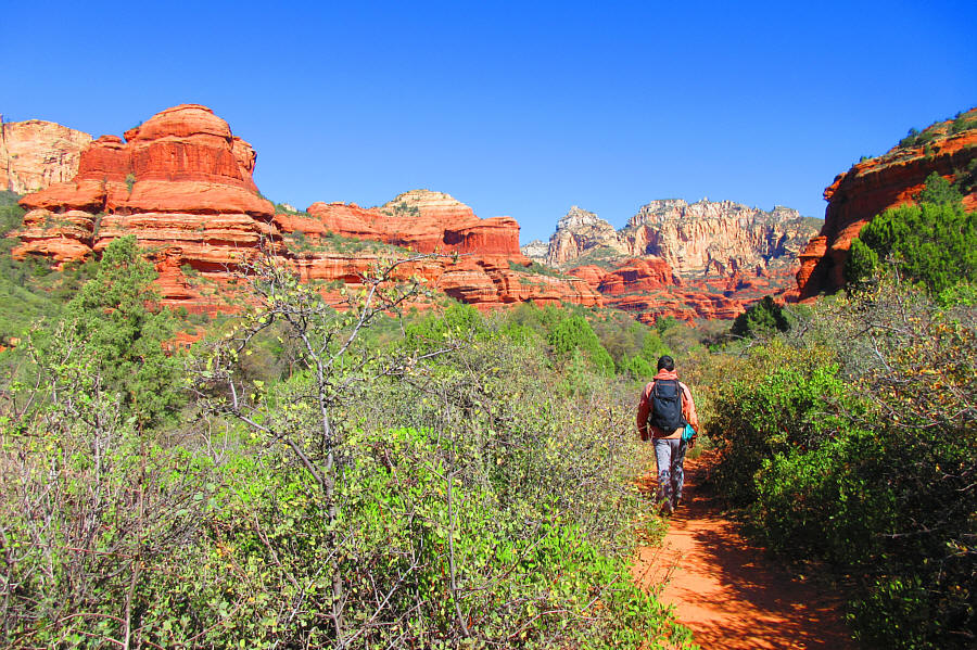
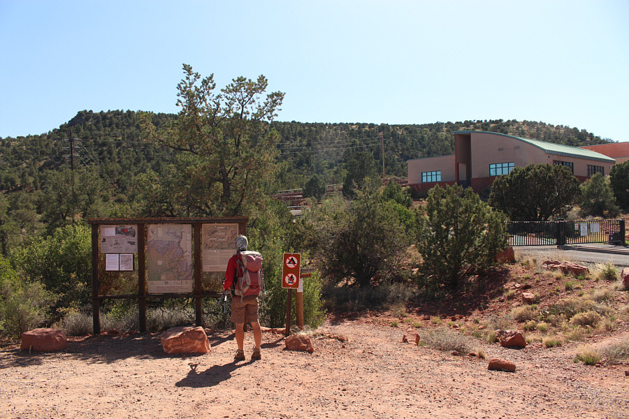
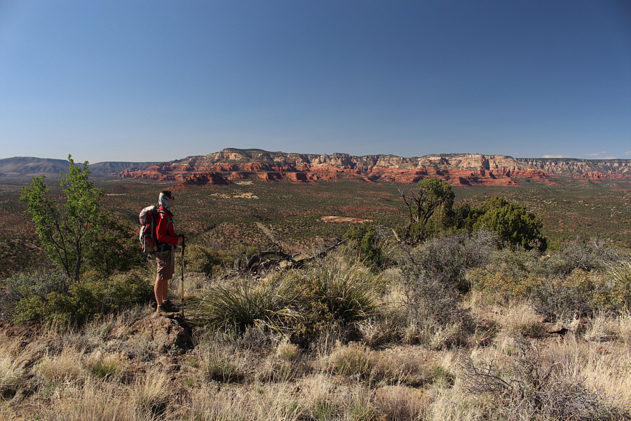
Sonny hikes the trail to Boynton
Canyon. Photo courtesy of Zosia Zgolak |
|
|
At the north end of a resort alongside
the trail, Sonny appears to have stumbled onto one of the many
energy vortexes
found throughout the Sedona area. Photo courtesy of Zosia Zgolak |
|
|
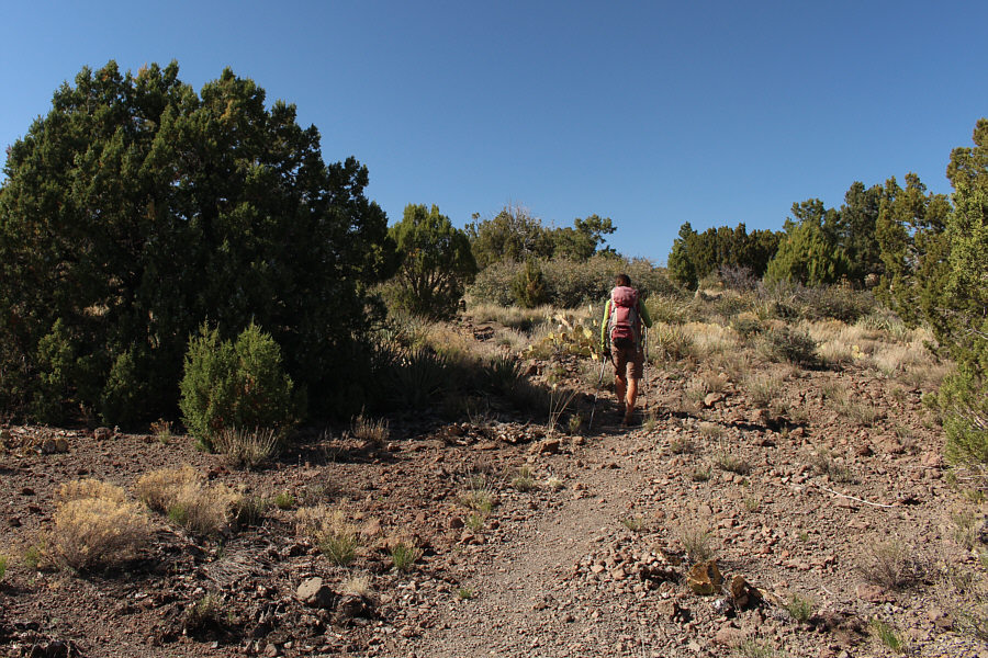
Invigorated by the energy vortex,
Sonny resumes the long march to Boynton Canyon. Photo courtesy of Zosia Zgolak |
|
|
Sonny enjoys an apple at trail's end. Photo courtesy of Zosia Zgolak |
|
|
Zosia and Sonny take a selfie in Boynton Canyon. |
|
|
A sign at trail's end discourages
people from scrambling higher up. Photo courtesy of Zosia Zgolak |
|
|
Two deer graze in the forest beside the trail. |
|
|
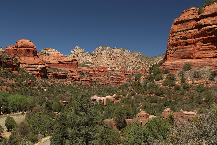
Some of the resort buildings can be seen here as well as some hikers on a section of the Boynton Canyon trail (right). |
|
|
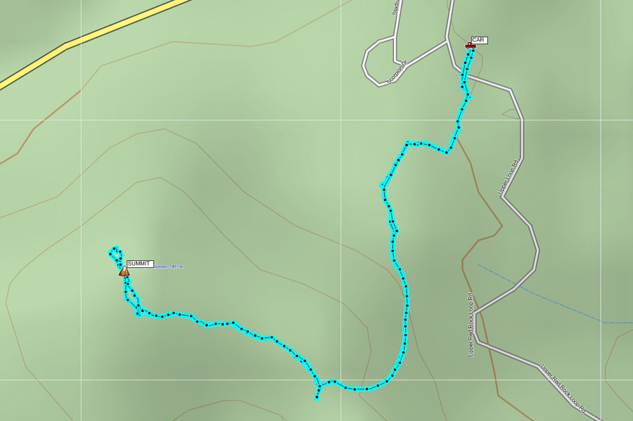
Total Distance:
10.7 kilometres Round-Trip Time: 3 hours 42 minutes Net Elevation Gain: 277 metres |
This was followed by a scenic drive along Red Rock Loop Road in the southwest corner of the city.
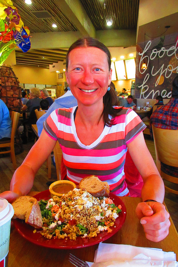 |
Zosia sits down for lunch at
Wildflower Bread Company. Photo courtesy of Zosia Zgolak |
 |
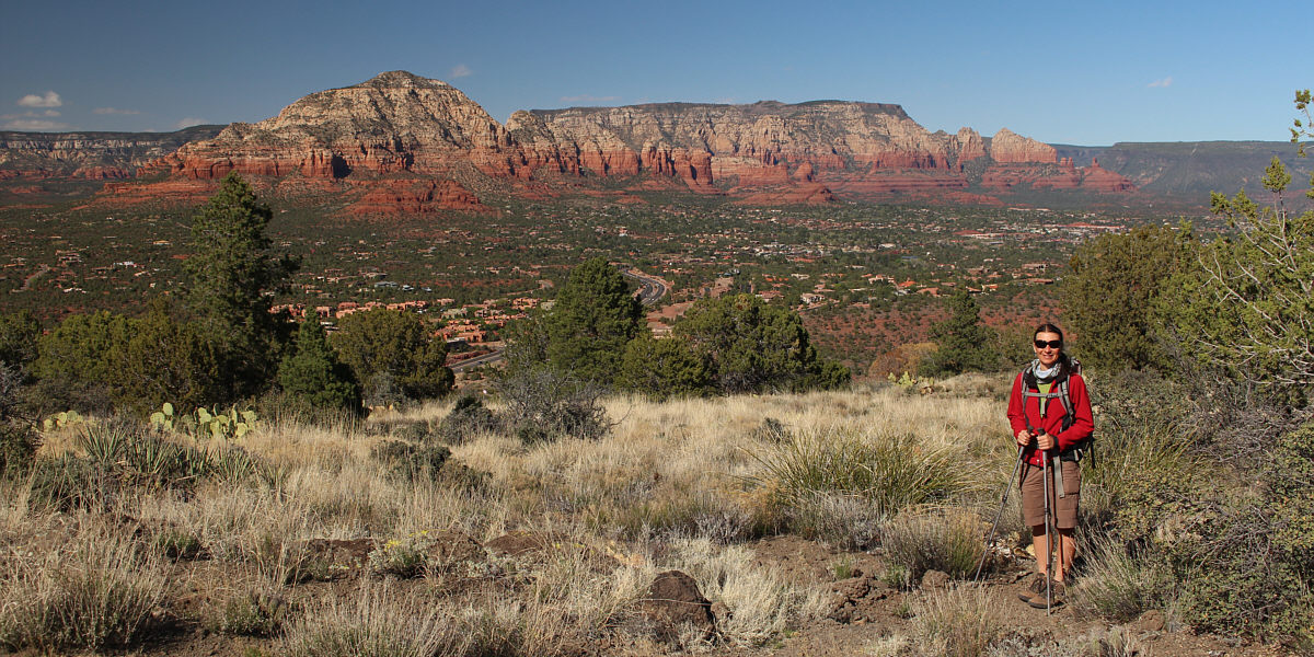
Zosia stops at one of the scenic pullouts along Red Rock Loop Road. Behind her at distant centre is Cathedral Rock. |
For such a lowly mountain, it grants some surprisingly nice views of Sedona and the surrounding landscape.
 |
From the trailhead, Scheurman Mountain can be seen behind Sedona Red Rock High School. |
 |
Zosia follows a good trail most of the way up the mountain. |
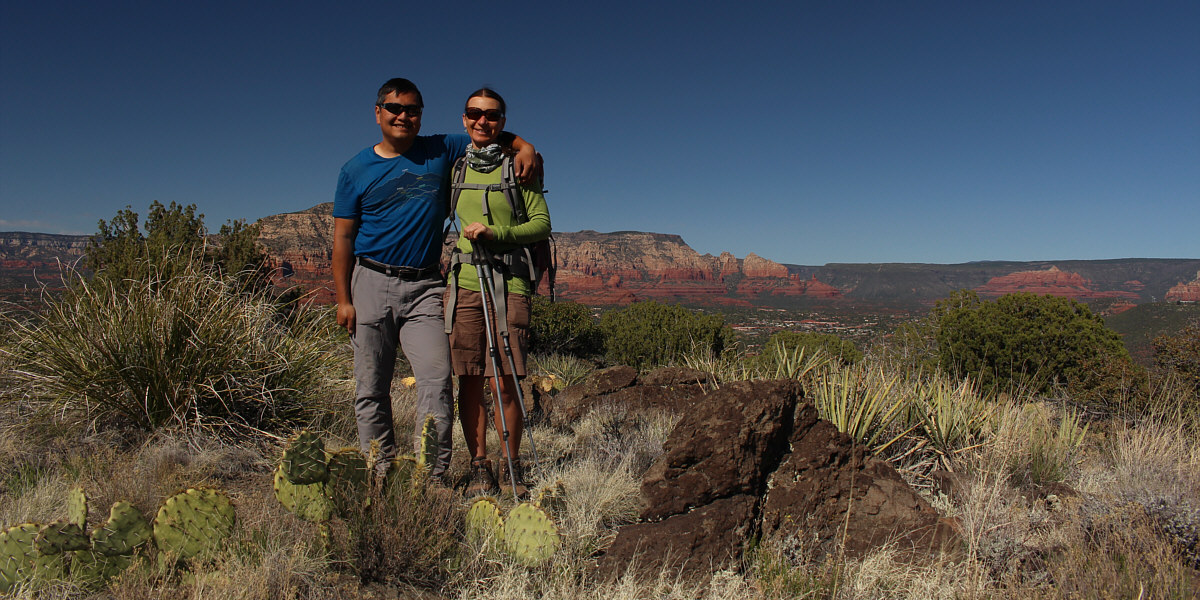
Sonny and Zosia stand on the summit of Scheurman Mountain (1488 metres).
 |
The highest visible point to the north is Bear Mountain (left) which is in the same vicinity as Boynton Canyon. |
 |
Here is the survey benchmark on Scheurman Mountain. |
To the northeast, Capitol Butte (left) and Wilson Mountain (right) provide a stunning backdrop for the city of Sedona.
 |
In front of Munds Mountain to the east is Sedona Airport which is actually situated on top of Table Top Mountain. |
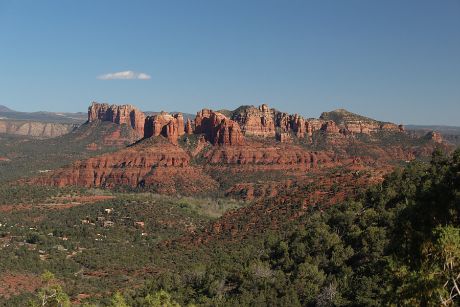 |
Here is a closer look at Cathedral Rock (left) to the southeast from Scheurman Mountain trail. |
 |
Total Distance:
3.2 kilometres Round-Trip Time: 1 hour 14 minutes Net Elevation Gain: 139 metres |
Somewhat disappointingly, we turned around and headed back south to Sedona where we made one more brief stop at Little Horse trailhead before leaving the city for good.
 |
This is the sign beside the entrance
to Slide Rock State Park in Oak Creek Canyon. Photo courtesy of Zosia Zgolak |
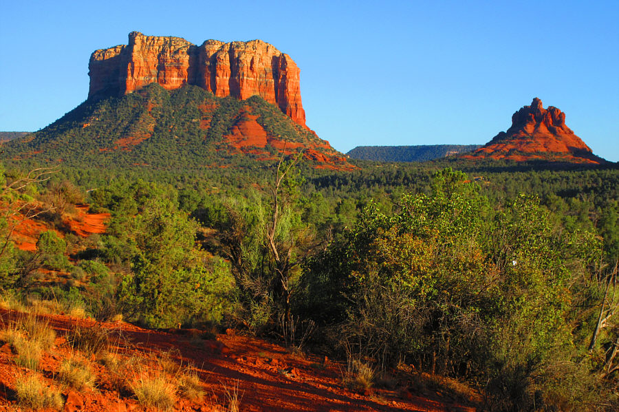 |
In this view from Little Horse
trailhead, Courthouse Butte (left) and Bell Rock glow in the late day
sun. Photo courtesy of Zosia Zgolak |
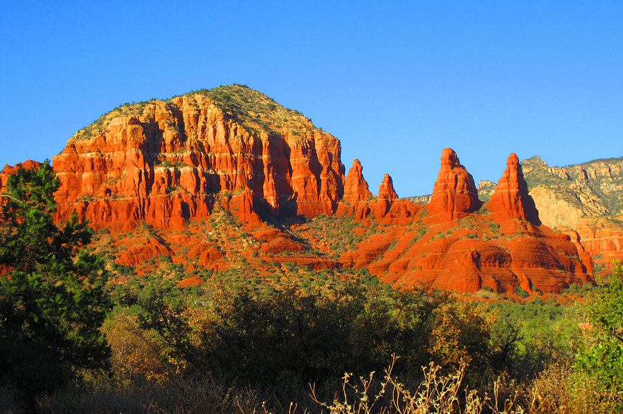 |
Also from Little Horse trailhead is
this view of an unnamed butte and some striking pinnacles. Photo courtesy of Zosia Zgolak |