
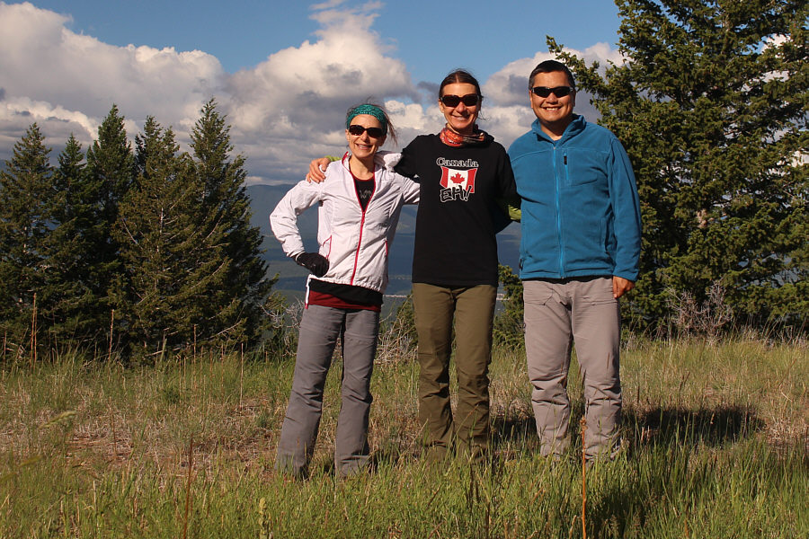
Leslie, Zosia and Sonny enjoy some sunshine at the site of Sheep Mountain Lookout (1206 metres).

Photo courtesy of Zosia Zgolak


Round-Trip Time: 2 hours 30 minutes
Net Elevation Gain: 319 metres
|
|
Zosia and Leslie hike smartly up the road to Sheep Mountain Lookout. |
|
|
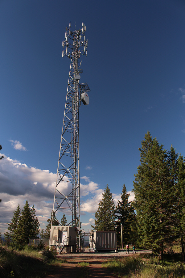
Zosia and Leslie go past a communications installation near the top. |
|
|
Leslie, Zosia and Sonny enjoy some sunshine at the site of Sheep Mountain Lookout (1206 metres). |
|
|
Sonny hops over a barbed wire fence to
try and ascertain the exact location of the highest point (1208
metres). Photo courtesy of Zosia Zgolak |
|
|
From the true high point is this partially open view to the south. Most of the mountains on the horizon are on the American side of the US-Canada border. |
|
|
Total
Distance: 8.1 kilometres Round-Trip Time: 2 hours 30 minutes Net Elevation Gain: 319 metres |