BOU AVENUE
Mount Thompson Rim Trail
On 9 August 2018, Zosia Zgolak and I hiked the Mount Thompson Rim Trail near Creston, British Columbia.  We discovered this hike in Backroad Mapbook: Kootenays (3rd Edition) by Russell Mussio and Wesley Mussio.  The most arduous aspect of this trip is the long uphill drive to the trailhead which is basically at the summit of Mount Thompson.

From Highway 3 at the east end of Creston, turn east onto Canyon-Lister Road.  Drive for 1.1 kilometres across a bridge over Goat River and turn left onto Whimster Road.  Drive for about 750 metres to a junction and go straight onto the signed Mt Thompson Lookout Forest Service Road (high clearance vehicle recommended).  Ignore all side roads and drive for another 10 kilometres to the summit of Mount Thompson.

The Rim Trail starts at a wooden sign just south of the summit radio towers and runs along the undulating ridge crest south of Mount Thompson.  The trail climbs over a couple of minor bumps before culminating at a high point with a "green rocket" (telecommunications tower) on top.

The most disappointing aspect on this day was the wildfire smoke which effectively obscured what would normally be far-reaching views in all directions.  Resigned to that fact, we had a bite to eat in the shade of the green rocket before returning the way we came.

The drive back down the access road was long and bumpy, but we eventually made it back to pavement without any issues.  We then stopped for fruit and refreshments at a store on the corner of Highway 3 and Canyon-Lister Road before commencing the long drive home to wrap up our whirlwind road trip.
We're already at the top! Well, yes and no... 
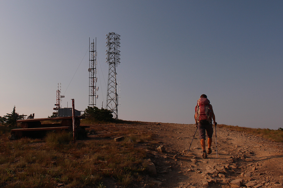
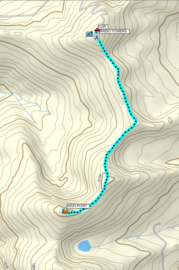
Zosia approaches some radio towers at the summit of Mount Thompson (2128 metres).

Okay, let's do it!

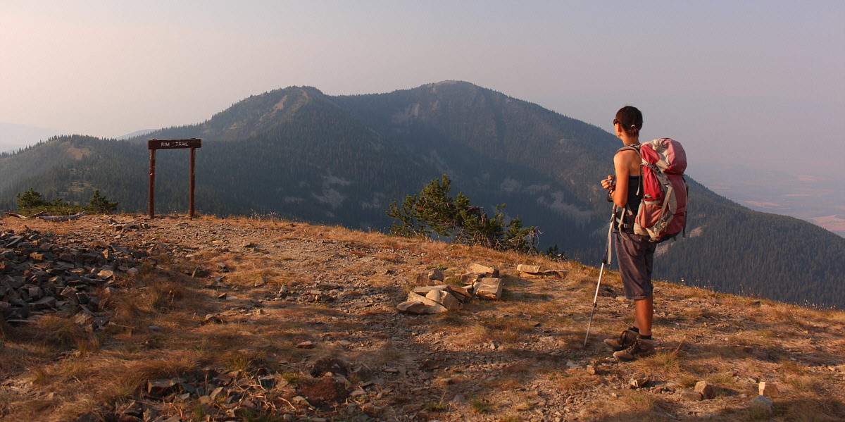
The Mount Thompson Rim Trail follows the ridge crest over a succession of bumps leading to the high point in the distance.


R.I.P. 
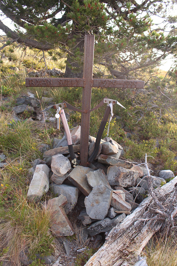
A short distance from the trailhead is this memorial for a climber who perished along with his partner on Mount Andromeda in 1999.
Beware--bears do frequent this area! 
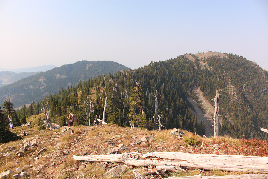
Zosia hikes along the ridge crest which is quite broad in places.
Unfortunately, we couldn't see the small tarn which is supposedly just on the other side of the ridge. Zosia drops down slightly just before the final climb up to the high point.
Very little. 
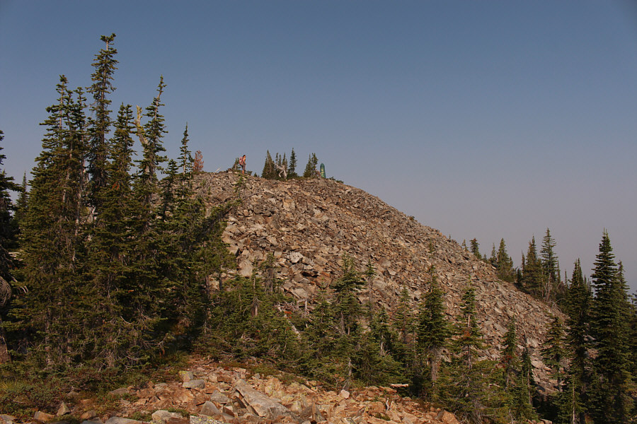
The trail essentially disappears here, and a little bit of off-trail scrambling is needed to reach to top.

Maybe considered the true summit of Mount Thompson?

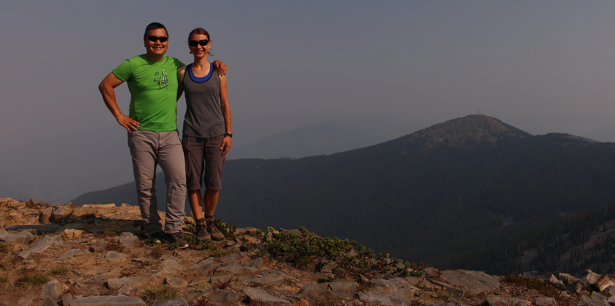
Sonny and Zosia reach the high point (2168 metres) of the Rim Trail with Mount Thompson visible in the distance.


Insert your own phallic jokes here... 
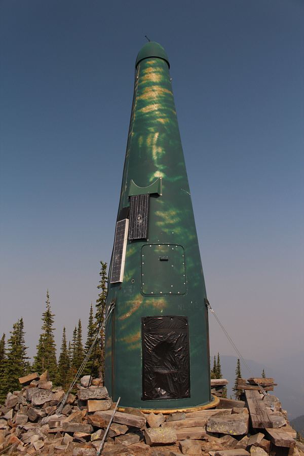
Here is a close-up view of the green rocket near the high point.
Let's go home! 
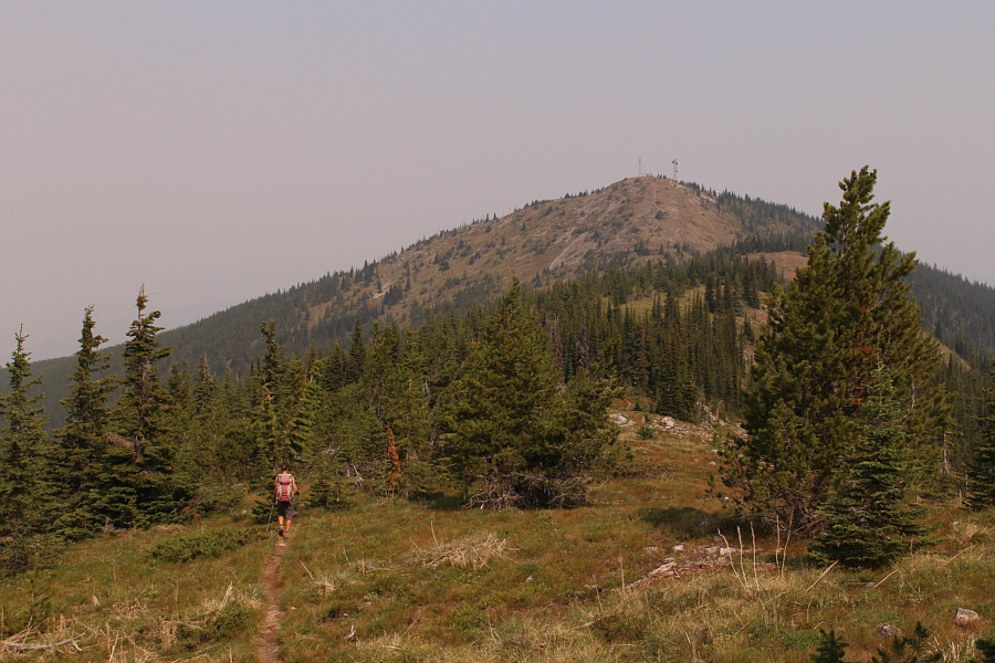
Zosia heads back to the top of Mount Thompson.
Might be worth returning on a clearer day...and with skis! Total Distance:  7.3 kilometres
Round-Trip Time:  3 hours 16 minutes
Total Elevation Gain:  439 metres

GPX Data