BOU AVENUE
Mount Wrightson
Mount Wrightson is the highest mountain in the vicinity of Tucson, Arizona, and with a good trail all the way to the summit, it is a deservedly popular hiking objective.  After camping the previous night just outside Madera Canyon, Zosia Zgolak and I got up well before dawn on 7 April 2018 and drove to the trailhead as per the following directions:

Take Exit 63 off I-19 and go east on Continental Road for about 1.75 kilometres before turning right onto White House Canyon Road.  Stay on this paved road and follow signs into Madera Canyon.  The trailhead is about 21 kilometres from the Continental-White House Canyon junction.  The Old Baldy Trail and Super Trail both share the same trailhead but start at different ends of the parking lot.  A $5.00 USD day use fee is charged to park anywhere in Madera Canyon.

We started hiking in the dark on the Old Baldy Trail and soon turned left at a junction about half a kilometre from the trailhead.  The sky grew brighter as we climbed steadily up the well-maintained trail, and we eventually arrived at a 6-way junction at Josephine Saddle.  This is the halfway point in terms of both distance and elevation gain.  We passed a few campers here and continued hiking along the Old Baldy Trail which gradually rises across the northwest face of Mount Wrightson before climbing steeply up a series of switchbacks to Baldy Saddle.  A surprisingly chilly wind greeted us at Baldy Saddle, and I began to wonder how windy and cold it would be at the summit and whether we would be able to linger there for long.  From Baldy Saddle, the trail makes a couple of long switchbacks before winding through the cliffs on the southeast side of the summit block.  Much to our relief, the weather improved considerably as we finished the ascent, and we were able to enjoy a very pleasant and extended stay at the summit.

For the descent, we retraced our steps all the way back to Josephine Saddle, but instead of returning along the Old Baldy Trail, we took the slightly longer and arguably more scenic Super Trail.  Other than feeling some heat from the hot afternoon sun, we had no issues getting back to the trailhead.  After stopping to eat some food at one of the other day use areas in Madera Canyon, we headed back to Tucson for a much-needed shower.

Looks rather intimidating from here, don't you think?

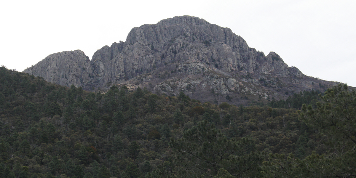
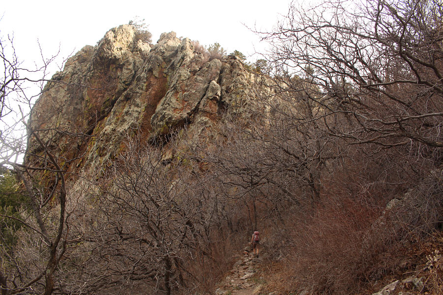
Somewhere along the Old Baldy Trail, a break in the trees grants this view of Mount Wrightson's summit block.


R.I.P. 
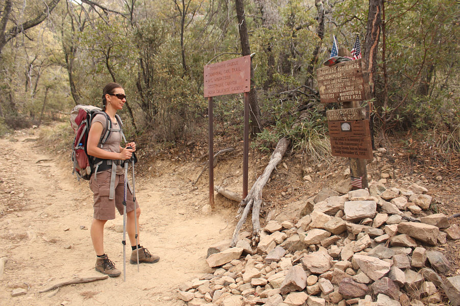
At a major trail junction near Josephine Saddle, Zosia reads a memorial for three boy scouts who perished on this mountain in a freak snow storm on 15 November 1958.
Those cliffs look a little daunting! 
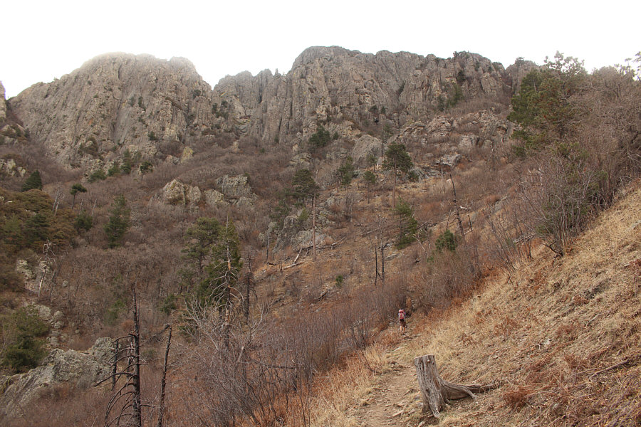
The trail ascends the northwest face of Mount Wrightson and eventually traverses to the left below the cliffs.
During our 2-week trip to southern Arizona, this was the only occasion where we came across potable drinking water along our trail or route.

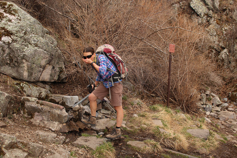
Zosia tastes some fresh water from Bellows Spring.

Lotsa switchbacks here! The trail climbs through a weakness in the cliffs to the right.
One of the straps for my camera bag broke!

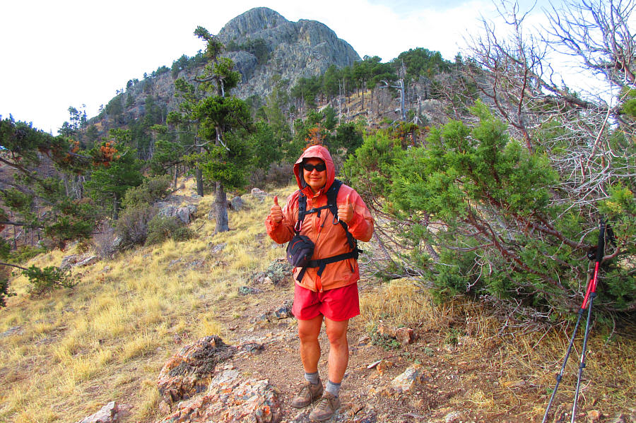
From Baldy Saddle, the summit block of Mount Wrightson is visible behind Sonny.

Photo courtesy of Zosia Zgolak

We had a nice long chat with these two Americans--a local and his friend who was on a working vacation. 
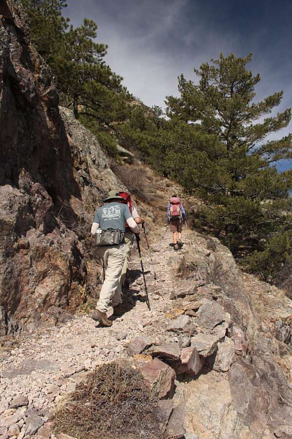
Some other hikers follow Zosia up the trail below the summit block.
The weather turned nice just at the right time! The trail eventually winds around to the southeast side of the summit block and finishes with some well-built switchbacks through the cliffs.

The scales of this lizard are iridescent!

Crawling about on the summit rocks, a Yarrow's spiny lizard warily watches for predators and intruders.


I can almost imagine seeing the Gulf of California from here... 
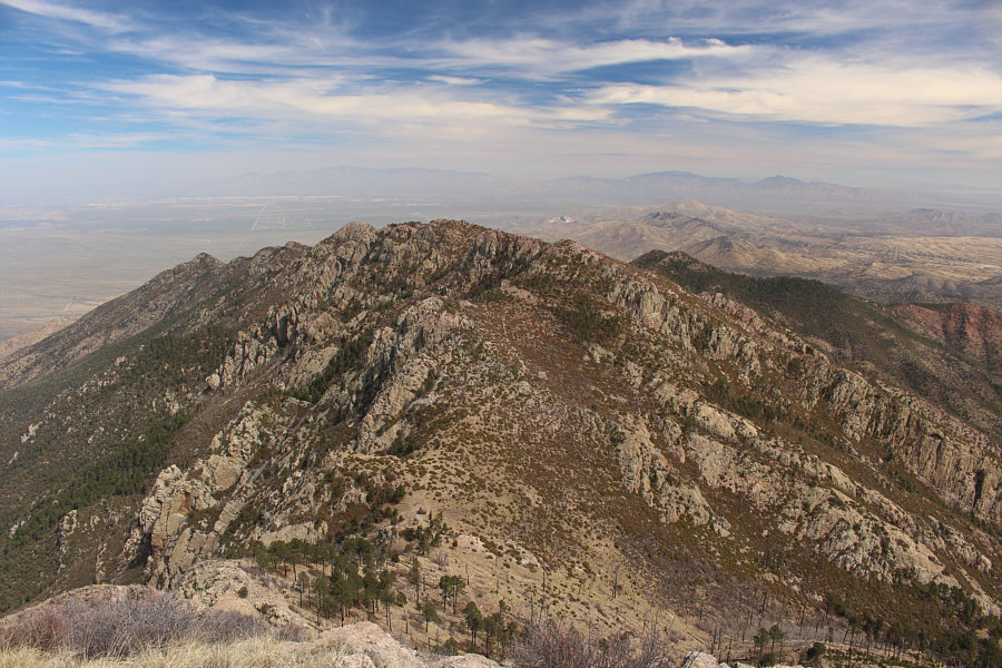
San Cayetano Peak is left of centre in this view to the southwest.  Further away to the right is Atascosa Peak.  The border city of Nogales can be seen at far left.
Baboquivari Peak is a technical climb which looks very enticing to me! 
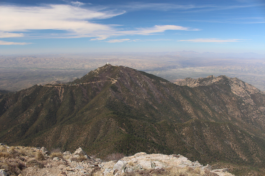
The many facilities of the Fred Lawrence Whipple Observatory can be seen on Mount Hopkins to the west.  Over 70 kilometres away on the right horizon is the distinct form of Baboquivari Peak.  Barely visible on the far right horizon is Kitt Peak which is the site of another astronomical observatory.
I wonder if you could go swimming in the copper pond... 
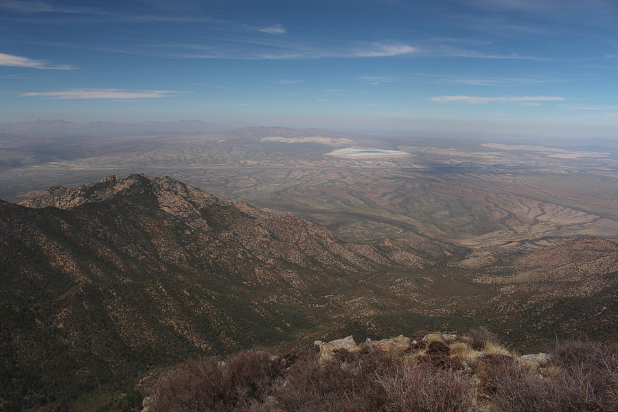
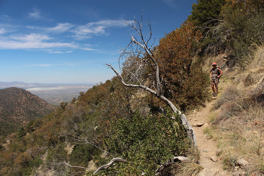
Madera Canyon, the usual approach for Mount Wrightson, is visible below in this view to the northwest.  The turquoise feature in the distance is the tailings pond for a local copper mine.
A keen eye should also be able to pick out Mount Kimball, Mount Lemmon, Mica Mountain and Rincon Peak. 
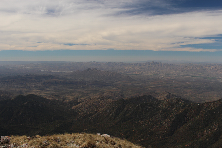
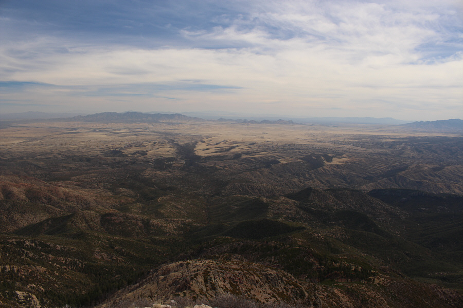
In this view to the north, Baldy Saddle is at bottom left of centre.  The city of Tucson is also visible at distant left.
Santa Rita Abbey is somewhere at the end of the major wash just left of centre. The Whetstone Mountains (distant left) are the most notable feature to the east.

Others have been up here dozens or hundreds of times, but none have ever been up here with Zosia!

Sonny and Zosia stand on the summit of Mount Wrightson (2872 metres), the highest point in the Santa Rita Mountains.


Chomp! This Yarrow's spiny lizard has a stubby tail, likely from a close encounter with a hungry predator.
Definitely more scenic than the Old Baldy Trail! Zosia hikes back to the trailhead along the Super Trail.
Whew! That sun is really cookin' now! The impressive summit block of Mount Wrightson is once again visible near the beginning of the Super Trail.
I need a shower right about now... 
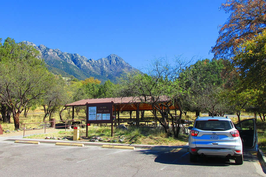
Here is another view of Mount Wrightson from one of the day use areas along Madera Canyon.

Photo courtesy of Zosia Zgolak

Great hike but don't expect solitude! 
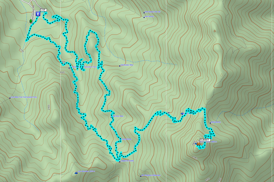
Total Distance: 19.2 kilometres
Round-Trip Time: 8 hours 13 minutes
Net Elevation Gain: 1219 metres

GPX Data