BOU AVENUE
Mount Helena
Kicking off our Christmas holiday road trip, Zosia
Zgolak and I stopped in Helena, Montana on 21 December 2019 for a quick
hike up the Montana state capital's namesake mountain. Located in a
park on the southwest edge of the city, Mount Helena is very popular with
local hikers, runners and dog-walkers. Trails of varying lengths
crisscross the mountain and provide a variety of ways to reach the
summit. Mount Helena was not originally on my "to-do" radar before
the start of our road trip, but its convenient location and easy access
gave us a good excuse to break up the long drive and stretch our legs a
bit.
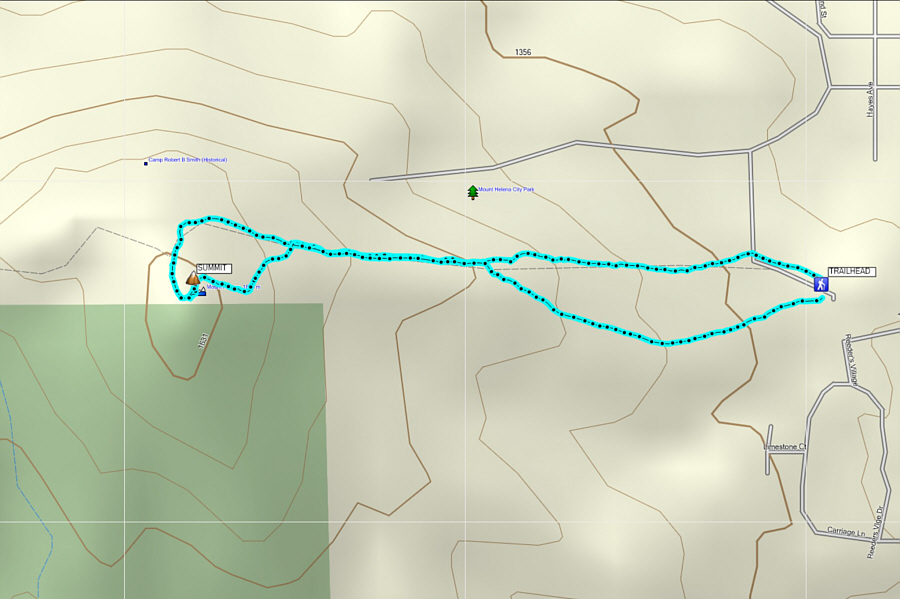
From downtown Helena, head southwest
along Park Avenue and turn right onto Reeder's Village Drive which makes
a loop with Carriage Lane. At the north end of the loop, turn onto
the continuation of Reeder's Village Drive which makes a bend to the left
before ending at the trailhead parking lot.
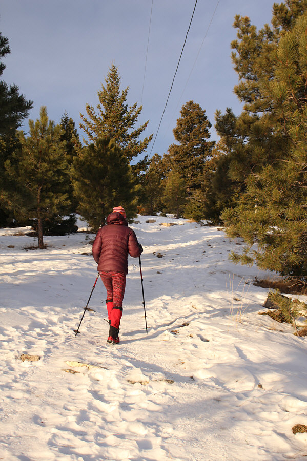
Zosia and I chose to ascend Mount Helena
via the Powerline Trail which is the steepest but most direct route to
the summit. On this day, the trails were quite icy, and Zosia
quickly donned her cleats to give herself better traction. I do not
own cleats but managed well enough with just my trekking poles and light
hiking shoes. Most major trail intersections are signed which makes
navigation fairly easy, but a few unofficial spur trails may potentially
cause confusion. Despite the shortness of the ascent, the Powerline
Trail is a pretty stiff climb with a steady gradient of over 20 percent
almost all the way up.
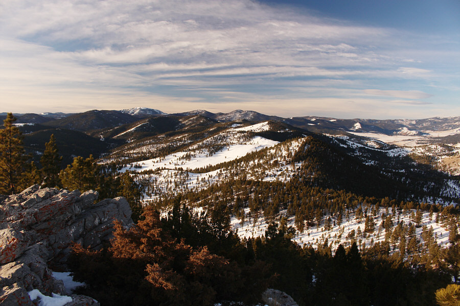
As Zosia and I reached the summit of
Mount Helena, we met a couple and their very friendly dog. The
couple were visiting from Washington D.C., but the man was originally from
Helena. In fact, he had just proposed to his girlfriend at the
summit, and after saying "yes", she could not contain her excitement and
had to share the news with a couple of total strangers--Zosia and me!
We congratulated the couple on their momentous occasion and then
proceeded to exchange summit photography chores with them.
For our descent, Zosia and I took a
slightly different route back to the parking lot, and despite some
challenges with the icy conditions, we managed to get down without any
spills or route-finding issues.


