BOU AVENUE
Mount Ida

Zosia Zgolak and I hiked up Mount Ida in Colorado's Rocky Mountain National Park on 12 July 2019.  The summit is accessed by a long but easy trail which starts from Milner Pass (located along Trail Ridge Road or US Highway 34 about 28 kilometres north of Grand Lake or 45 kilometres west of Estes Park) as described in the guidebook, Afoot and Afield: Denver, Boulder, Fort Collins, and Rocky Mountain National Park, by Alan Apt and Kay Turnbaugh.

With afternoon thunderstorms in the weather forecast, we planned for a pre-dawn start.  The previous evening, we had driven from Estes Park and made the mistake of trying to sleep in my car at the trailhead which is within Rocky Mountain National Park.  Just as we were about to retire for the night, a park ranger pulled up and politely directed us to Timber Creek campground which is about a 13-kilometre drive further down the road to the south.  The ranger even called ahead to make sure the campground had space for us.  When we arrived there, we found the campground to be little more than a big crowded RV parking lot, and the campground host was planning to charge us $26 USD to basically park my car for about 6-8 hours.  We respectfully declined and drove out of the park into National Forest land where we were able to camp legally for free.  This basically meant an extra 28 kilometres of driving (one-way) in the wee hours of the morning to get back to the trailhead.

After all the hoopla with our camping arrangements, the hike itself was almost anti-climactic.  The trail climbs steeply away from Milner Pass but levels out considerably once it breaks out of the trees.  The remainder of the ascent is essentially a long and relatively straight walk along the wide open Continental Divide.  Although there are no technical difficulties, the scenery changes very little from beginning to end, and at times, the hike actually felt a little boring to me.  Fortunately, seeing an abundance of wildlife helped to alleviate some of the monotony.

We were the first people to reach the summit on this day, and it was not until we were already well on our way back that we began encountering other hikers on the trail.  As with the hike in, our hike out felt somewhat tedious, but at least it was mostly downhill.  Of course, I was cursing under my breath during all the slight uphill sections on the way back!  Ominous-looking clouds were already rolling into the area when we finally returned to the trailhead, and we were thankful to be off the open ridge of the Continental Divide by this point.

Mount Ida proved to be the last Colorado peak that Zosia and I would climb during our nine-day tour through the state.  It was a highly productive visit as we managed to bag 13 Colorado summits including 9 "Fourteeners".  Nevertheless, subjecting ourselves to eye-popping mountain views day after day can be too much of a good thing, and I was ready for a change of scenery.  After packing up our gear at Milner Pass, we drove back east along scenic Trail Ridge Road and subsequently stopped for dinner in Loveland.  By the end of the day, we were camping at a rest area (with free Wi-Fi even) in southeast Wyoming.
"Poudre" is French for "powder". 
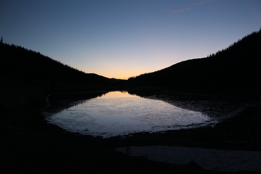
Poudre Lake sits just to the east of the Continental Divide at Milner Pass which is the trailhead for Mount Ida.
If you like forested hikes, don't do this one! 
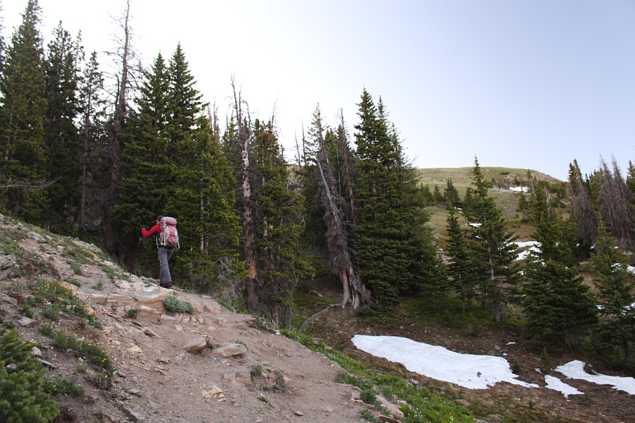
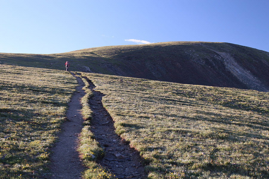
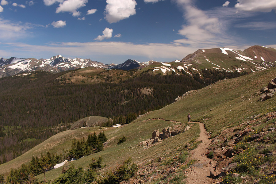
Zosia climbs steeply up the trail to tree line.

How did Howard get stuck between a couple of clouds?

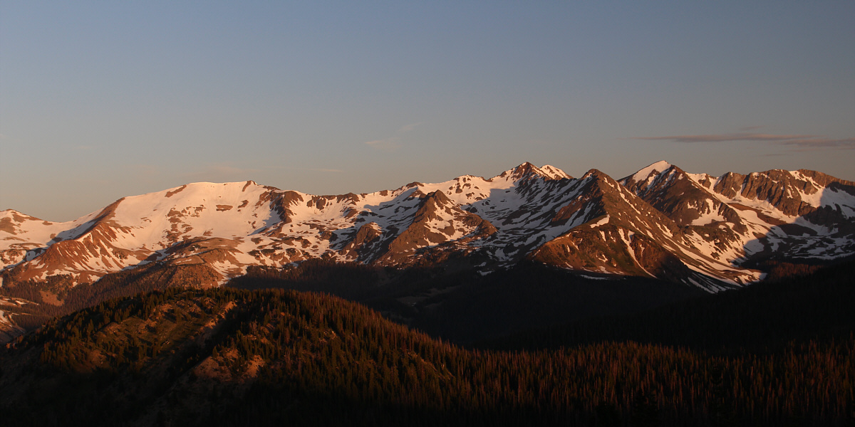
Morning sunlight illuminates peaks to the west including Mount Cumulus (left), Howard Mountain (right of centre), and Mount Cirrus (right).


We still have a lot of climbing left and a lot of distance to cover. The top of Mount Ida is already visible from here.

The perspective in this photo is a bit misleading as the elk is further down the slope from the sheep.

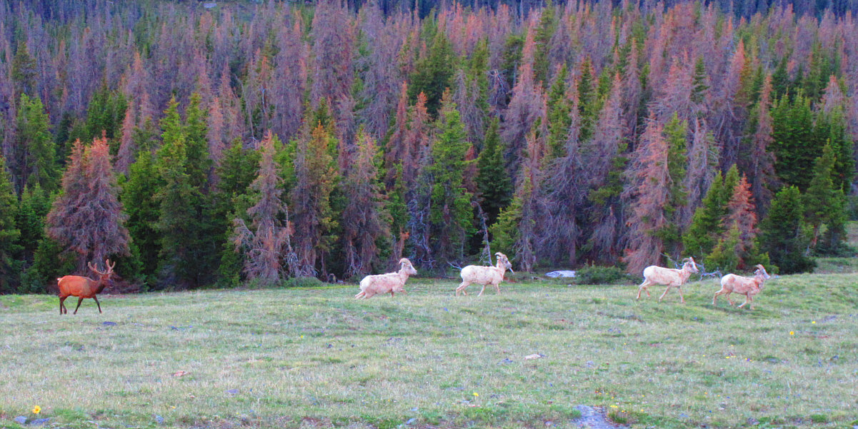
A herd of sheep run past a lone elk on a grassy slope below the trail.

Photo courtesy of Zosia Zgolak


Like walking on top of a beached whale! Zosia heads for the next rise along the Continental Divide.
I can never keep up with Zosia! Some rugged cliffs break up the monotony of the broad, rounded ridge.
Mount Richthofen is named, not for the Red Baron, but for the Red Baron's uncle who was a geologist! 
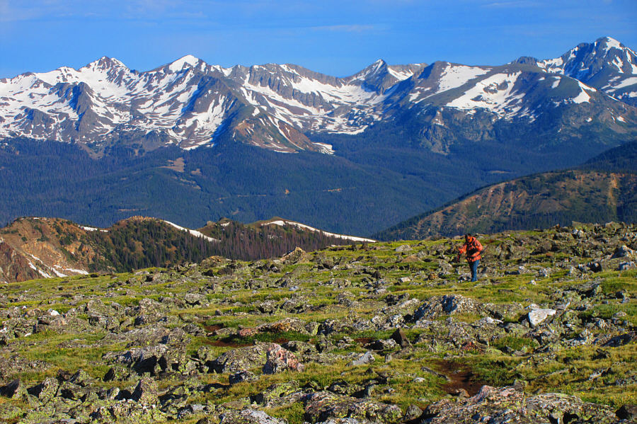
Stretched across the horizon behind Sonny are Howard Mountain (far left), Mount Cirrus (left), Lead Mountain (right of centre), and Mount Richthofen (far right).

Photo courtesy of Zosia Zgolak

Some folks would even consider skiing this! 
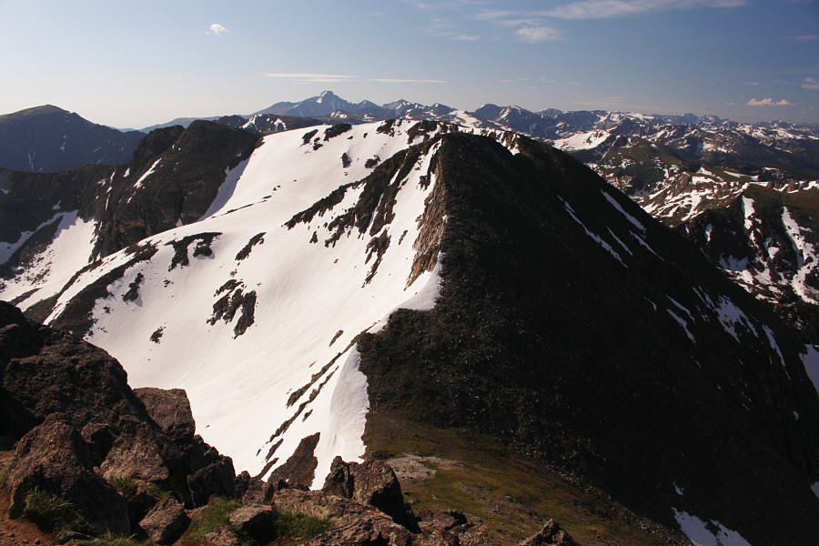
Much snow clings to the precipitous northeast aspect of Mount Ida.
There's no place Ida rather be than here with you! Sonny and Zosia stand on the summit of Mount Ida (3920 metres).
I wonder if you could traverse all the way to Longs Peak from here... Chief Cheley Peak is the next mountain to the southeast along the Continental Divide.  On the distant horizon, Longs Peak stands high above all the surrounding peaks.
These American marmots never look as happy as our Canadian hoary marmots! 
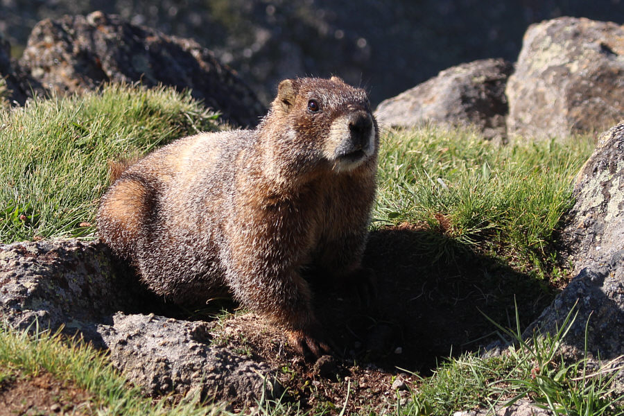
The summit is inhabited by a few yellow-bellied marmots such as this one.
Julian Lake probably seldom sees visitors on its shores. 
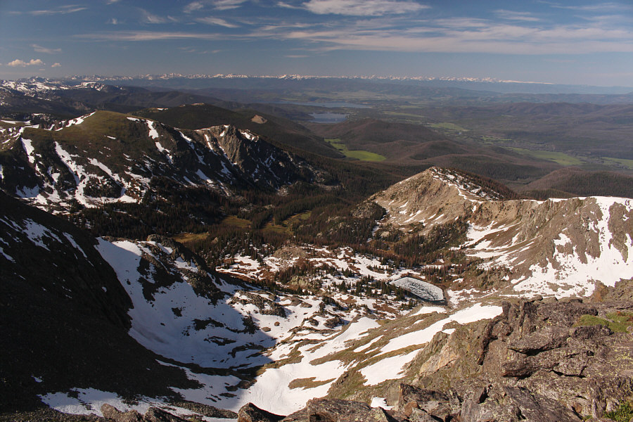
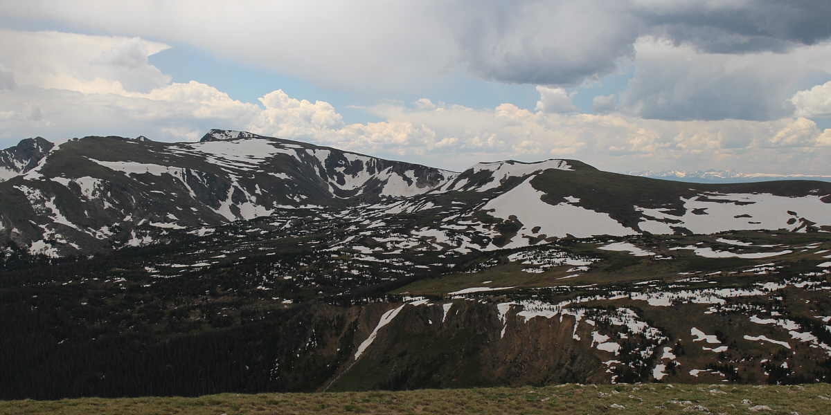
The two bodies of water to the southwest are Shadow Mountain Lake (closer) and Lake Granby (farther).  The grassy summit at far left is Nakai Peak, and Julian Lake is still mostly frozen in the bowl immediately below.
These lakes may never thaw out this year! Inkwell Lake (left) and Azure Lake (right) are still frozen in the bowl to the east of Mount Ida's summit.  Sitting across the bowl are Terra Tomah Mountain and Mount Julian.
This would likely be a great ski tour. Zosia commences the long walk back to the trailhead.
It's weird that all these were rams while the earlier herd appeared to be all ewes! 
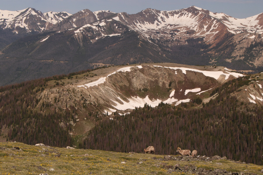
Some bighorn sheep graze not far from the trail.
Looks like Shangri-La to me! 
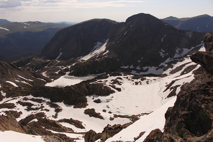
All the tarns in this bowl north of Mount Ida's summit are unnamed and possibly temporary.  In the distance, Trail Ridge Road (US Highway 34) can be seen running along the top of the ridge across the valley.

Boy, wouldn't a mountain bike be sweet right about now?

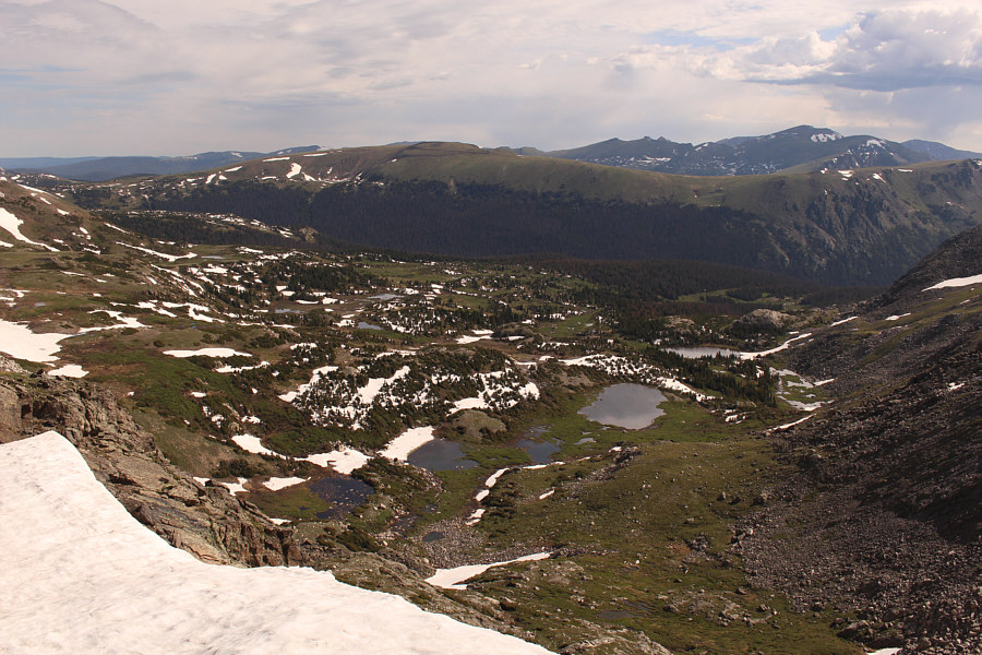
Zosia contemplates the remaining distance back to the trailhead.  At centre on the horizon is Specimen Mountain.


I think the one on top is the lookout. There appears to be a whole den of marmots living under this boulder.

Two Mongolians recently died of bubonic plague after eating raw marmot organs!

Here is a closer look at one of the marmots.


Believe it or not, the weather is starting to turn for the worse... Zosia begins descending back to tree line.
Yep, that was a smart call to start very early! 
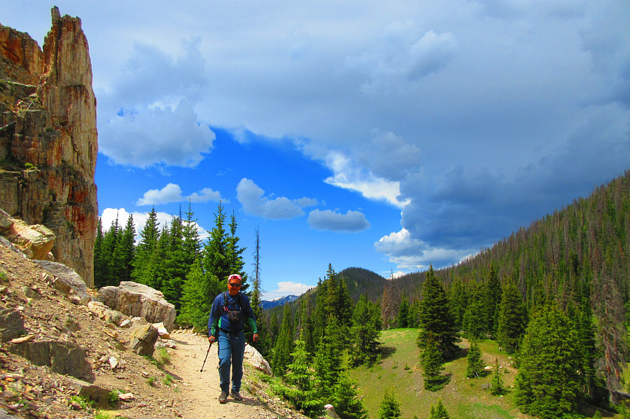
Sonny passes under some pinnacles not far from the trailhead as ominous-looking clouds roll into the area.

Photo courtesy of Zosia Zgolak

Goodbye, Mount Ida and Colorado! Until next time!

Here is a look back at Mount Ida (left) from Trail Ridge Road.


This felt like a much longer trip than it was. Total Distance:  15.6 kilometres
Round-Trip Time:  6 hours 20 minutes
Cumulative Elevation Gain:  788 metres

GPX Data