BOU AVENUE
Indian Oils Hills
With a generally cloudy weather forecast for 9 November 2019, Ali Shariat, Zosia Zgolak and I opted to go for a hike in the forested hills surrounding Indian Oils trail in the Sheep River valley of Alberta's Kananaskis Country.  Some of the places we ventured are described in Gillean Daffern's Kananaskis Country Trail Guide, but we also drew inspiration from a trip report by Bob Spirko.  We started our hike from the Sheep Falls parking lot (south side of Highway 546 about 35 kilometres west of Turner Valley), and as per Daffern's route description, we found the signed trailhead on the north side of the highway a short distance to the west.  We briefly followed the trail northward before crossing a side creek and reaching a signed junction with Indian Oils trail.  Turning left, we began climbing steadily up the valley on the well-maintained trail.

About an hour into our hike, we encountered a black bear perched on the lower branches of a tree next to the trail.  The bear did not show any aggression, but it also did not budge after I hollered loudly a few times.  In the end, the bear won the standoff, and we went off-trail to make a big detour around it.  Regaining the trail farther up the slope, we did not see the bear again.

Upon reaching a grassy pass with a wooden bench and horse rail, we left the trail and climbed up easy slopes to the north to tag three tree-covered high points.  My GPS unit was useful for navigating in the forested terrain here, but aside from some ankle-deep snow in places, travel was generally easy.  None of these high points grant much in the way of views, and although we enjoyed the exercise of climbing each one, there is little else to recommend about them.  After stopping for a short break on the highest of the three high points, we backtracked a little before descending beside a drainage running eastward toward a small seasonal pond.  Along the way, we briefly regained Indian Oils trail but left it as soon as we got close to the pond.

The pond was completely devoid of water on this day, and we simply walked across the snow-covered depression and continued climbing the slope to the east which eventually led us to a fourth high point.  This last high point is fairly open, and I surmise that on a clear day, the views from here would be quite far-reaching.  Unfortunately, we did not see much given the cloudy weather, and with no reason to linger, we promptly dropped down a ridge to the east.  The descent here was pretty straightforward with only minimal route-finding challenges.  We eventually popped out onto the highway about a kilometre east of where we started, and a simple walk along the pavement completed our loop trip.  As a bonus, we visited nearby Sheep Falls before driving home ahead of an incoming snow storm.
We're off to a good start! 
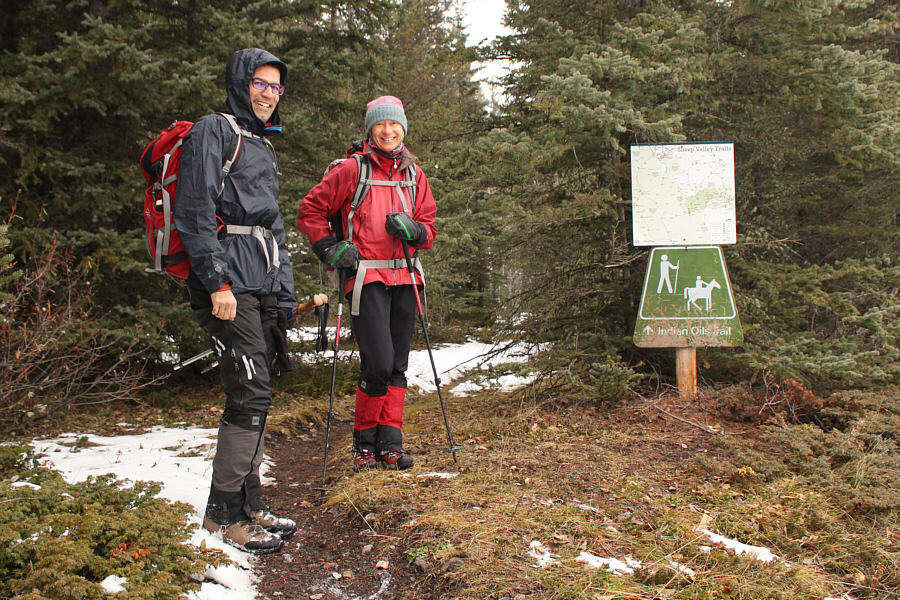
Ali and Zosia find the signed trailhead on the north side of Highway 546.
It could have been worse...

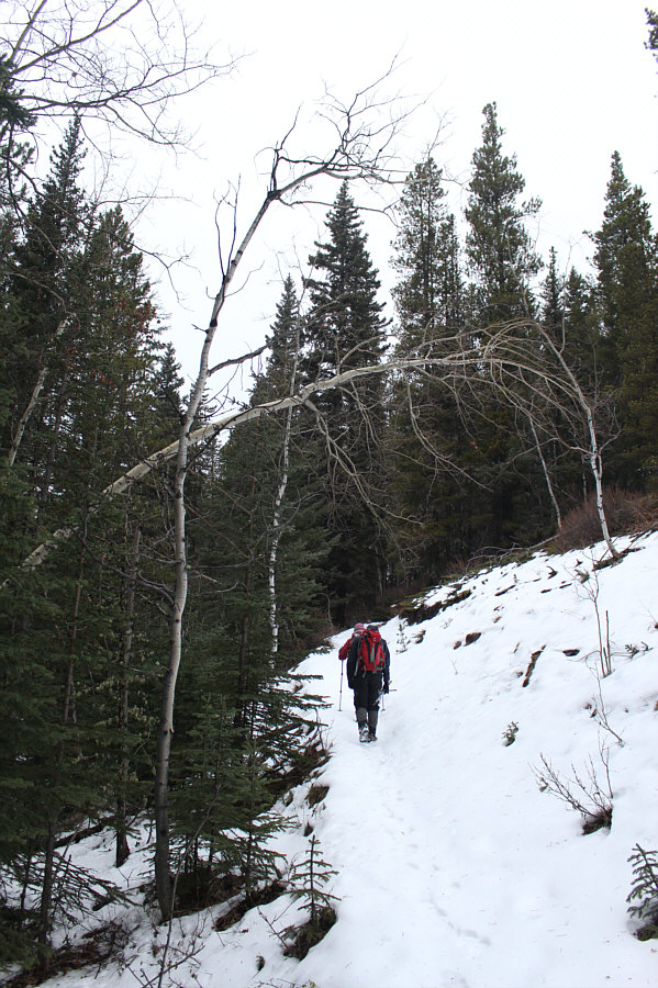
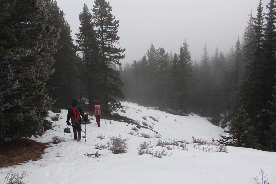
Some sections of Indian Oils trail are quite snowy on this day.

If you go down in the woods today, you're sure of a big surprise! A black bear stares back from its perch partway up a tree.
Don't poke the bear! 
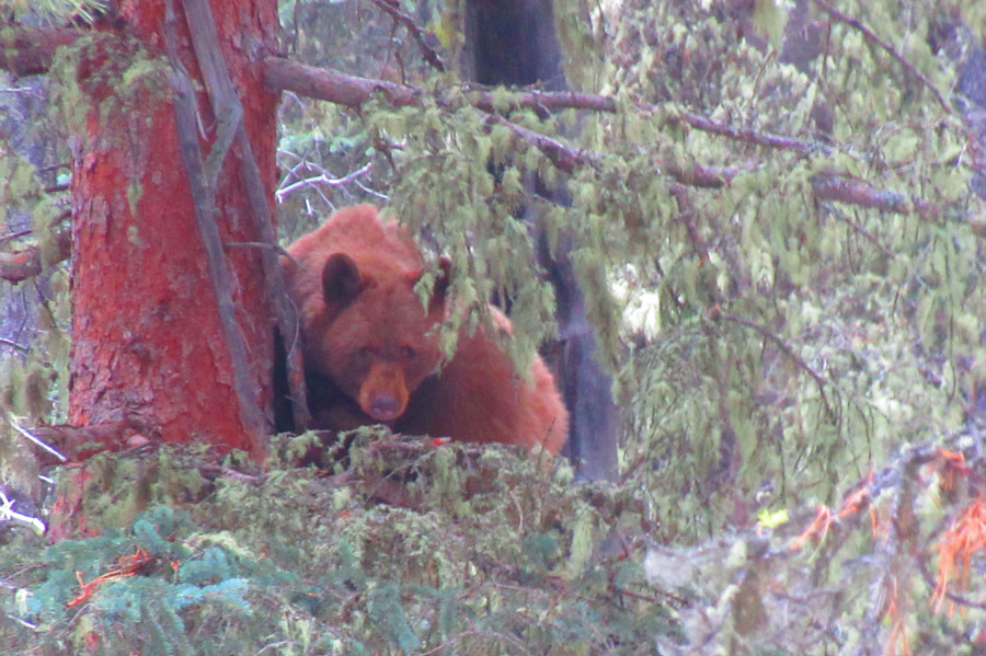
Here is a closer look at the bear in the tree.

Photo courtesy of Zosia Zgolak

Maybe we should turn around and go play with the bear! 
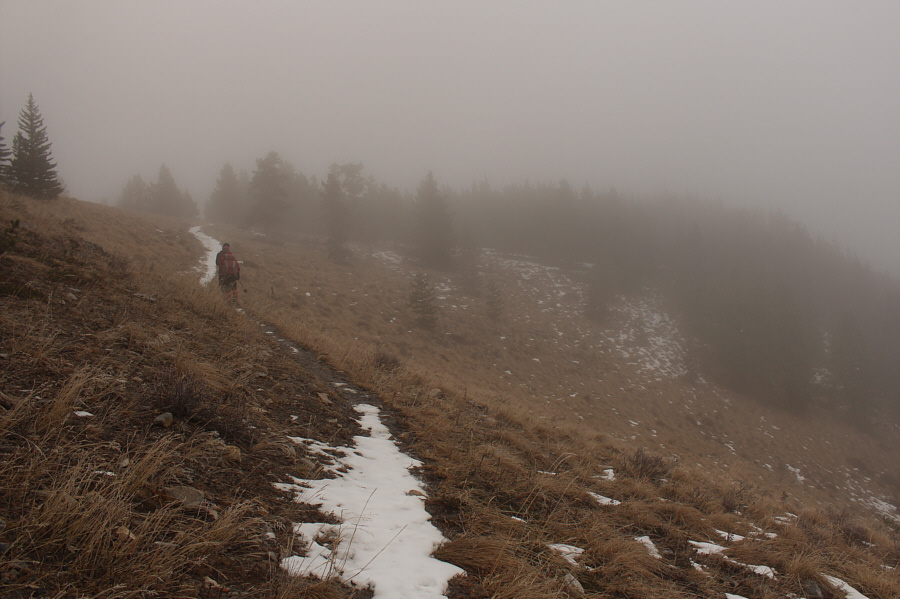
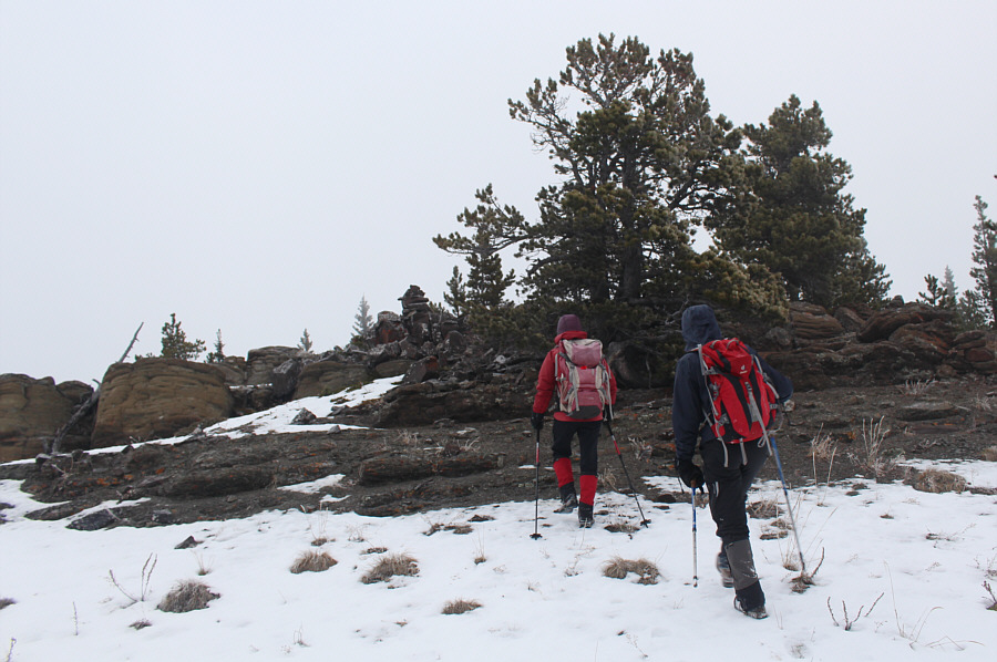
The trail rises up to a grassy pass in the mist.
There was a bit of an open viewpoint here, but it was hardly scenic on this day because of the poor weather.

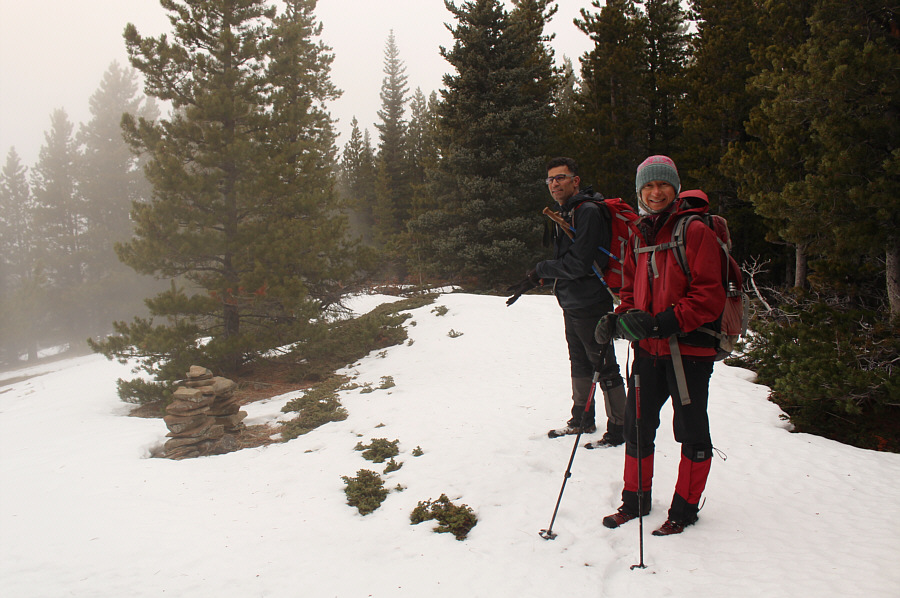
Ali and Zosia reach the first high point (HP1; 1955 metres) of the day.

No views and no cairs...first ascent maybe? Ali and Zosia reach the second high point (HP2; 1956 metres) of the day.
No nightmarish bushwhacking like in British Columbia! 
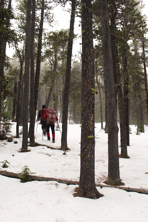
Travel through the forested terrain here is generally easy.
Beautiful! 
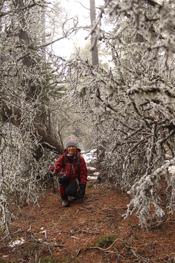
Zosia kneels between two frosty fallen trees.
We were lucky that the snow wasn't deeper! Ali and Zosia climb up easy snow-covered slopes.
Ali and his apples! 
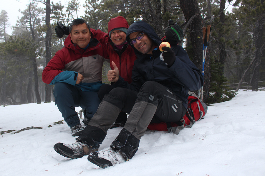
Sonny, Zosia and Ali take a break on the third and highest high point (HP3; 1988 metres) of the day.
Venturing into unknown territory... Ali and Zosia descend easy terrain beside a drainage.
Daffern reported that a cow was killed by a grizzly bear here in 1980! Zosia and Ali stand in a snow-covered depression which is the site of a seasonal pond.
This one might be worth coming back to on a nicer day. 
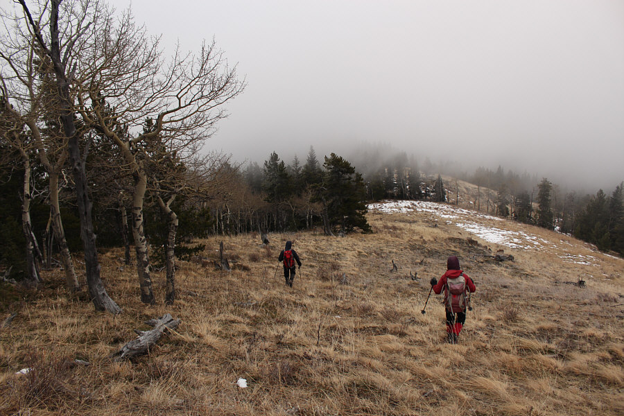
Zosia and Ali approach the last and probably most scenic high point (HP4; 1838 metres) of the day.
With a lot more snow here, this would be a great ski descent! Ali and Zosia descend the ridge east of the fourth high point.
Although it looks dry, that pavement is icy! Zosia and Ali pop out of the woods onto Highway 546 about one kilometre east of where they started.

It's much nicer than Elbow Falls IMHO mostly because there are less tourists here!

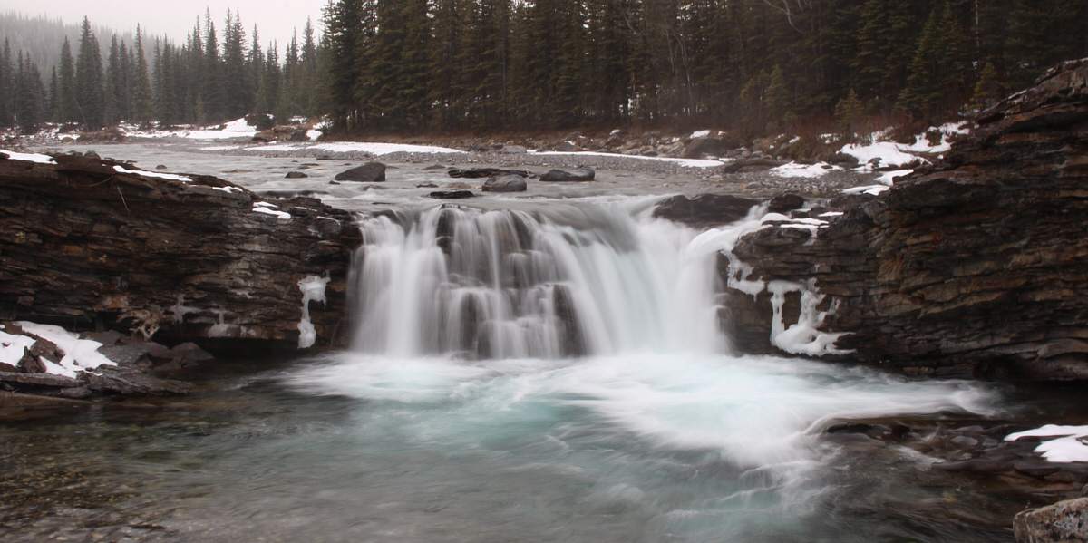
Sheep Falls is virtually deserted on this day.


I wonder what all the ear tags mean. 
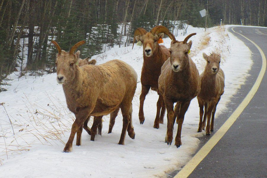
A small herd of bighorn sheep gallop alongside the highway.

Photo courtesy of Zosia Zgolak

A surprisingly interesting hike despite the lack of far-reaching views. Total Distance:  9.3 kilometres
Round-Trip Time:  4 hours 20 minutes
Cumulative Elevation Gain:  600 metres

GPX Data