BOU AVENUE
Mosaic Canyon, Devils Golf Course, Natural Bridge And Ashford Mill Ruins
After returning from Racetrack Playa and camping the previous night at Emigrant Campground, Zosia Zgolak and I toured a number of less-committing attractions in California's Death Valley National Park on 29 December 2019.  The first and longest excursion was a hike into Mosaic Canyon which is named for the conglomerate rocks which can be found there.  The canyon is quite popular due to its close proximity to Stovepipe Wells, and while the hike is generally suitable for most people who do not have mobility issues, there are still a few sections that demand some care and scrambling ability.  Climbing up numerous pour-overs was fun and reminded me of some of the slot canyons Zosia and I visited in southern Utah a few years back.  Most people turn around at an exceedingly high (~7.5 metres) dry fall a little over three kilometres from the trailhead.  We saw a few people scramble (difficult and exposed) higher around this obstacle, but we were quite content to stop here for a quick photograph before backing out of the canyon the same way.
Goooooooood morning, Death Valley!! Zosia enters Mosaic Canyon.  The village of Stovepipe Wells can be seen in the distance to the right of Zosia's head.
Just like walking the mall! 
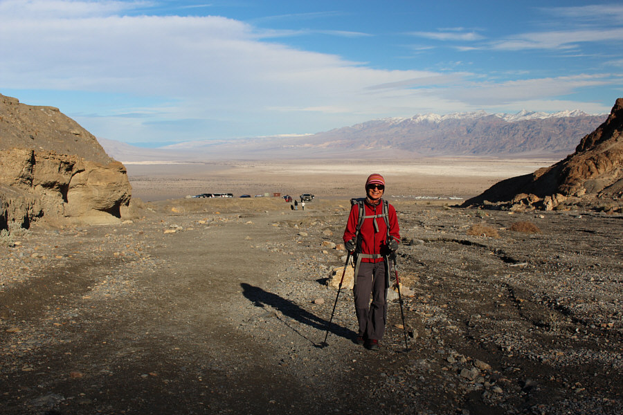
The first part of canyon is an easy stroll for Sonny.

Photo courtesy of Zosia Zgolak

Lots of fun to come! 
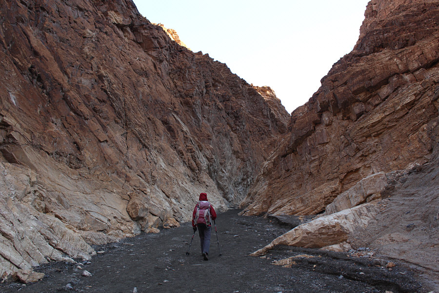
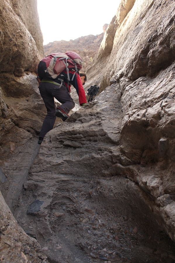
Zosia heads deeper into the canyon.
For a challenge, it might be possible to scramble up the crack in front of Zosia. 
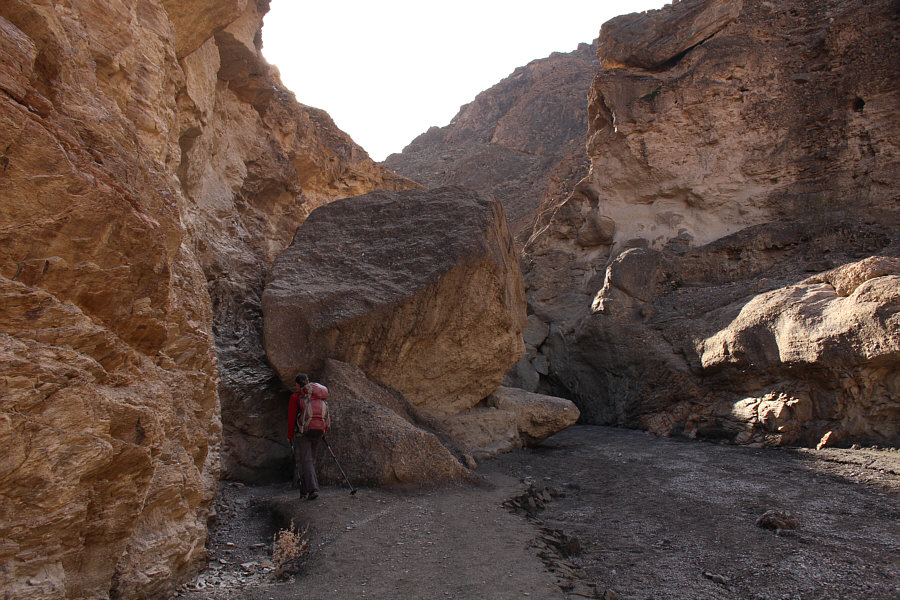
A huge chockstone blocks the canyon, but there is an easy way around it to the right.
Natural art! 
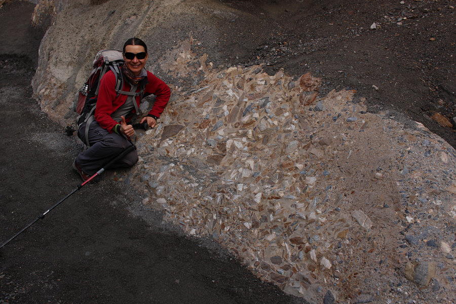
Mosaic Canyon gets its name from these conglomerate rocks found throughout the area.
Good fun! Zosia scrambles up one of several pour-overs in a narrow part of the canyon.
No need for heroics here! 
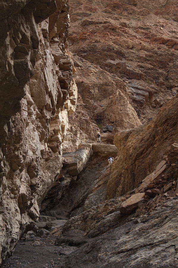
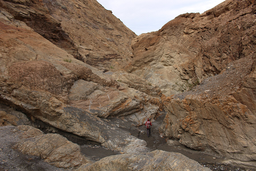
A man can be seen scrambling up a very steep drop-off ahead, but there is an easy trail out of view to the right that bypasses this obstacle.
It's an optical illusion! 
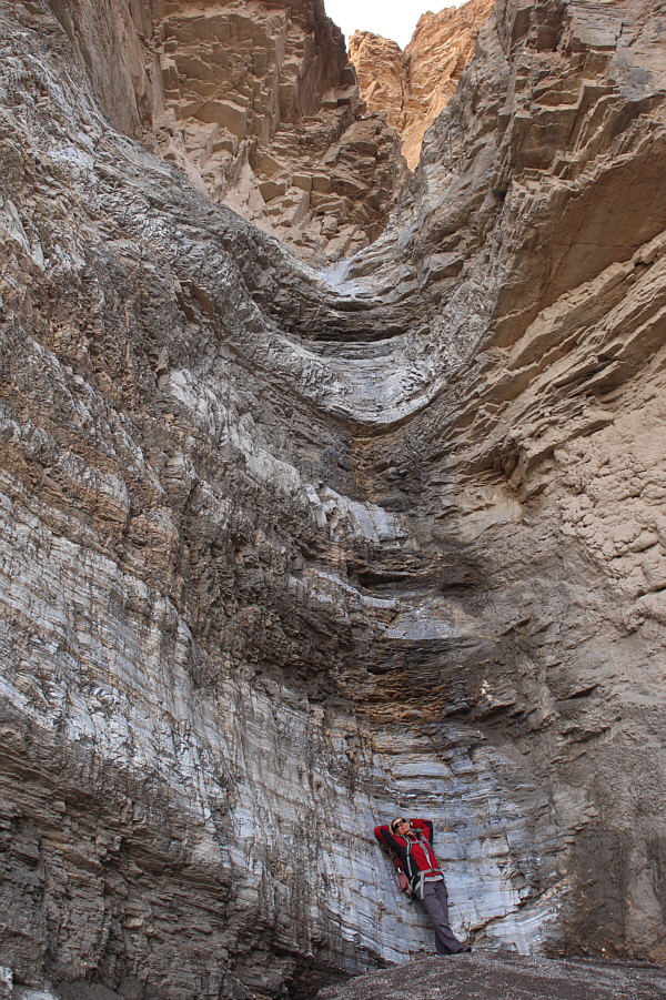
This dry fall marks the end of the official hiking route in Mosaic Canyon.  The odd perspective of Sonny and Zosia in this photograph makes the dry fall look deceptively short.
The dry fall is at least 5 Zosias high! Zosia stands at the base of the dry fall to provide a more accurate perspective of how high it really is.
Hiked through a canyon? Check. 
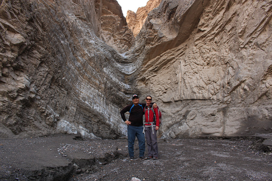
Zosia enjoys a second walk through the canyon on her way out.
We next drove to Devils Golf Course which is located just north of Badwater Basin and is known for its interesting salt formations.  Like the hordes of other tourists here, we only stopped long enough to snap a few photographs before having a bite to eat and moving on.  I wonder if anyone has ever brought golf clubs and some balls to really play on this "course".

The whole golf course is a rough hazard!

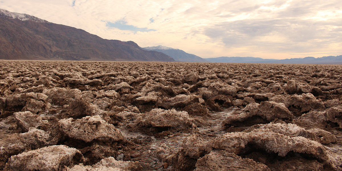
Salt formations such as these stretch as far as the eye can see at Devils Golf Course.


Ate lunch with lots of salt? Check. 
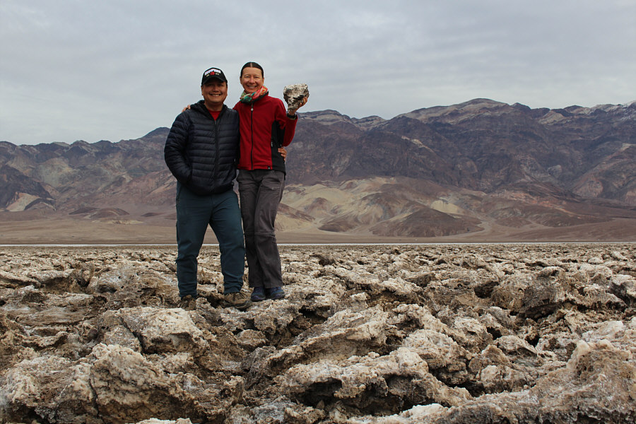
Sonny and Zosia grab some extra seasoning for their upcoming lunch.
Natural Bridge was the next attraction on our itinerary since it is virtually on the other side of the highway opposite from Devils Golf Course.  The crux of this easy hike is the short but horrible drive along the bumpy gravel road from the paved highway to the trailhead.  For such a popular national park, the park staff sure do a crummy job of grading their unpaved frontcountry access roads.  Still, I think I was more intrigued by the steady stream of low clearance vehicles with California license plates bouncing up and down along this rough road than I was of Natural Bridge itself.  The other notable challenge about this hike is having to wait in a long lineup for the single vault toilet at the trailhead (bring a book!).
Wow. First time on this road trip that I'm actually starting a hike wearing just a T-shirt! 
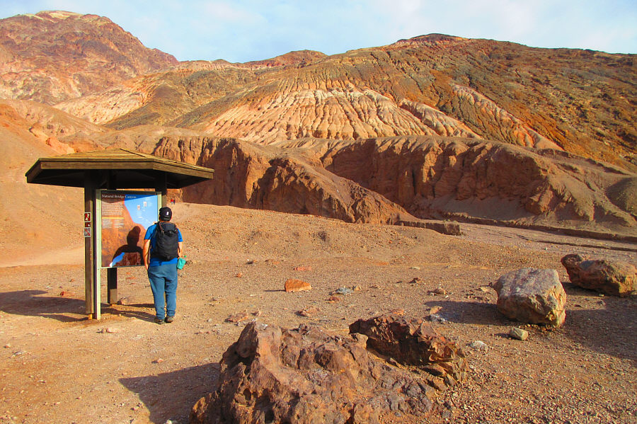
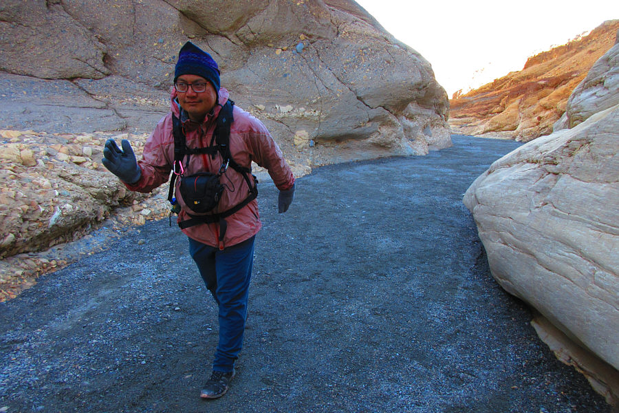
Sonny reads the interpretive sign at the trailhead for Natural Bridge.

Photo courtesy of Zosia Zgolak

This hike is so short that Zosia didn't even bother to carry her pack. 
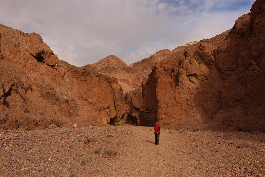
The walk to Natural Bridge is short and easy.
Looks better than I remembered! 
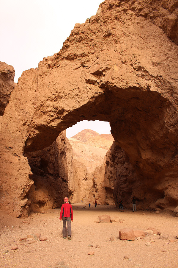
Zosia arrives at Natural Bridge.
Tempted fate by walking under massive rocks which will likely collapse someday? Check. 
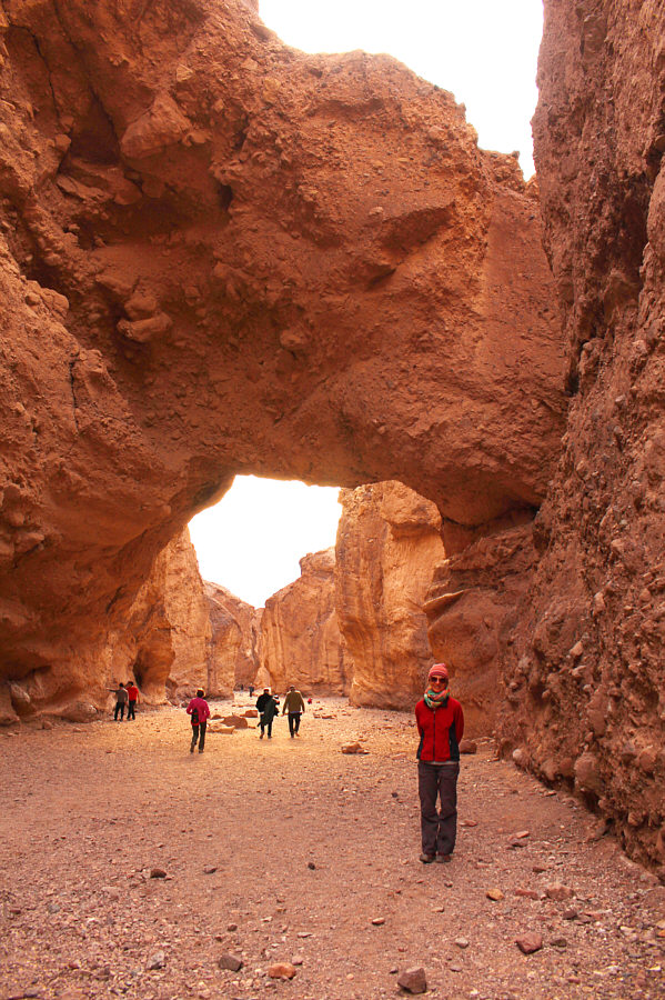
Here is a view of Natural Bridge from the far side.
Leaving Natural Bridge, Zosia and I were hoping to stop at Badwater Basin (lowest point in North America) and walk out onto the salt flats like we did three years ago, but after getting stuck in a traffic jam along the highway near the parking lot and seeing the swarms of tourists bustling all over the place, I decided that it was not worth stopping and could not drive out of the area fast enough.

In stark contrast, there was virtually no one around when Zosia and I stopped at Ashford Mill ruins near the south end of the park.  The site of a former gold ore processing facility is only a short distance from the highway and sits at about 37 metres below sea level.  There is even a vault toilet here with no lineups!  The surrounding landscape is just as beautiful as Badwater Basin, and yet, the ruins are largely ignored by most tourists traveling through the area.  I enjoyed the solitude of the ruins, and were it not illegal to do so, it would have been very nice to camp here.
Just like Artists Palette but without so many annoying tourists! 
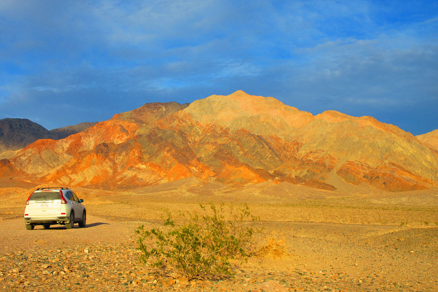
Late day sunlight sets the west face of Ashford Peak ablaze in this view from near the Ashford Mills ruins.

Photo courtesy of Zosia Zgolak

I don't suppose there's any gold dust left around here... 
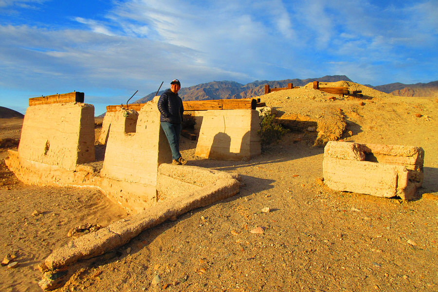
This is what is left of the gold ore processing facility.

Photo courtesy of Zosia Zgolak

Poked around remnants of Man's folly? Check. 
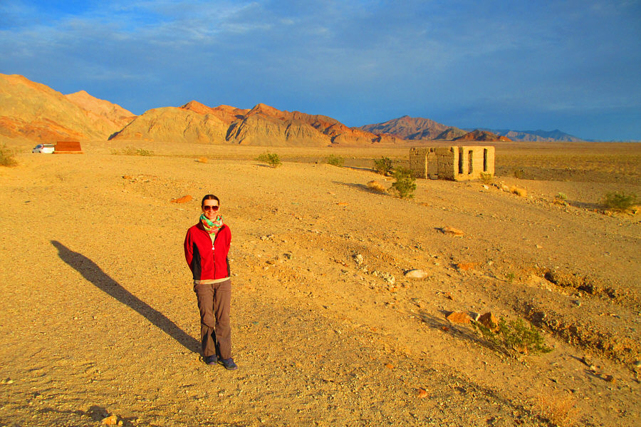
The ruin at right was once a business office.  Directly behind the ruin on the horizon is Jubilee Mountain.

Photo courtesy of Zosia Zgolak

With daylight waning, Zosia and I continued driving eastward over Salsberry Pass, and we ended up camping for the night along a back road just outside the park boundary.  Ironically, this back road was in far better shape than any of the frontcountry access roads within the park!
Found a beautiful and quiet place to sleep for the night? Check. 
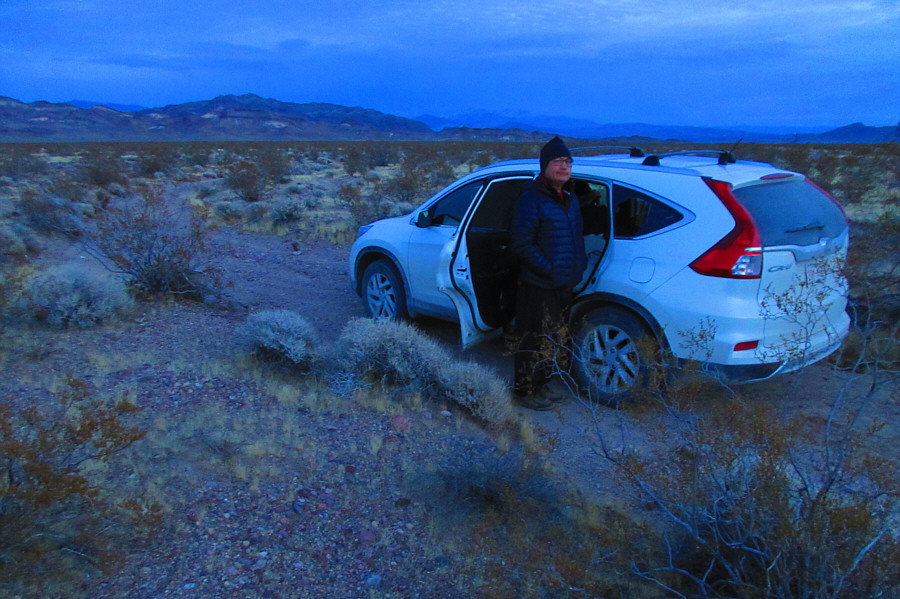
Sonny gets ready to turn in for the night on a back road just outside Death Valley National Park.

Photo courtesy of Zosia Zgolak