BOU AVENUE
Western Nebraska

July 13, 2019 was a transition day for Zosia Zgolak and me as we continued with our road trip through mid-western United States.  We started the day at a rest area just outside the town of Pine Bluffs in the southeast corner of Wyoming, and since we were so close, we decided to pay a visit to Panorama Point, the high point of Nebraska.

From Pine Bluffs, turn south onto Beech Avenue and go through the underpass below I-80.  From the underpass, drive for 15 kilometres to a junction with County Road 203.  Turn east and follow this gravel road across the Wyoming-Nebraska border.  The road soon turns south before turning east again (becoming County Road 6).  From where the road turns east again, drive for 3.2 kilometres to a junction with County Road 5.  Turn south and drive for another 3.2 kilometres to the access road for Panorama Point (sign and pay station here).  Turn west and drive 2.0 kilometres to the high point at the end of the dirt road.

Initially, we tried to visit the tri-state (Wyoming, Nebraska and Colorado) corner, but disappointingly, the access road right on the Wyoming-Colorado border was posted (ie. no trespassing).  As such, we skipped visiting the tri-state corner and actually drove into Colorado briefly before entering Nebraska from the south to visit Panorama Point.  A sign at the entrance demands a $3.00 USD entry fee, but there were no envelopes available at the pay station on this day.  Frankly, I am not sure if anyone bothers to pay anyway or how often someone comes out to check for payment.  People apparently used to hike from the high point to visit the tri-state corner, but walking in the area is now forbidden due to the presence of bison.
Sorry, Zosia. No hiking allowed here! 
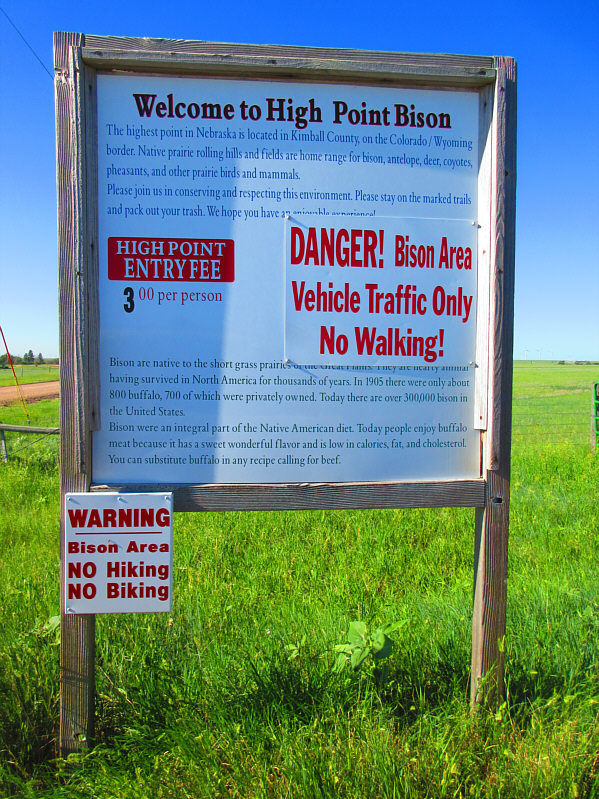
This sign sits at the entrance to Panorama Point.

Photo courtesy of Zosia Zgolak

A cigarette, a beer and a high heel shoe...let's party!

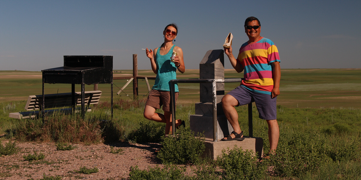
Zosia and Sonny hold up some of the interesting artifacts found in the register desk at Panorama Point (1653 metres), the high point of Nebraska.


This would be my 12th US state high point! 
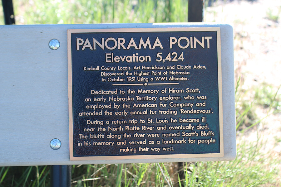
A plaque on the bench beside the high point commemorates an early explorer in the area.

What a seemingly boring existence!

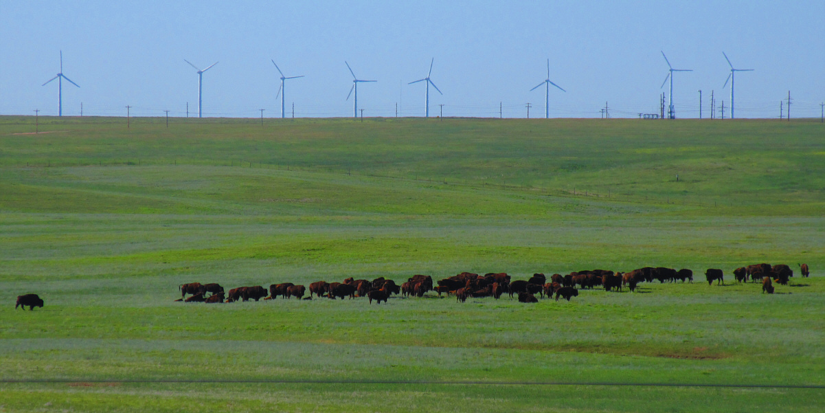
A herd of bison graze in a field adjacent to Panorama Point.

Photo courtesy of Zosia Zgolak


Satisfied with our high point visit, Zosia and I drove north and next visited Chimney Rock National Historic Site located just south of the town of Bayard.  Chimney Rock is a striking pinnacle that was a prominent landmark for historic wagon routes such as the Oregon Trail.  Oddly enough, there are no advertised trails leading to Chimney Rock from the site's visitor centre, and yet, Google Maps shows a trail that runs to the base of the formation from a historic cemetery only a short drive away.  Unaware of this trail, we simply took a few distant photographs before moving on.  Had we known about the trail, we might have considered taking a closer look at Chimney Rock.
According to Wikipedia, the Lakota Sioux used to refer to this formation as "elk penis"! 
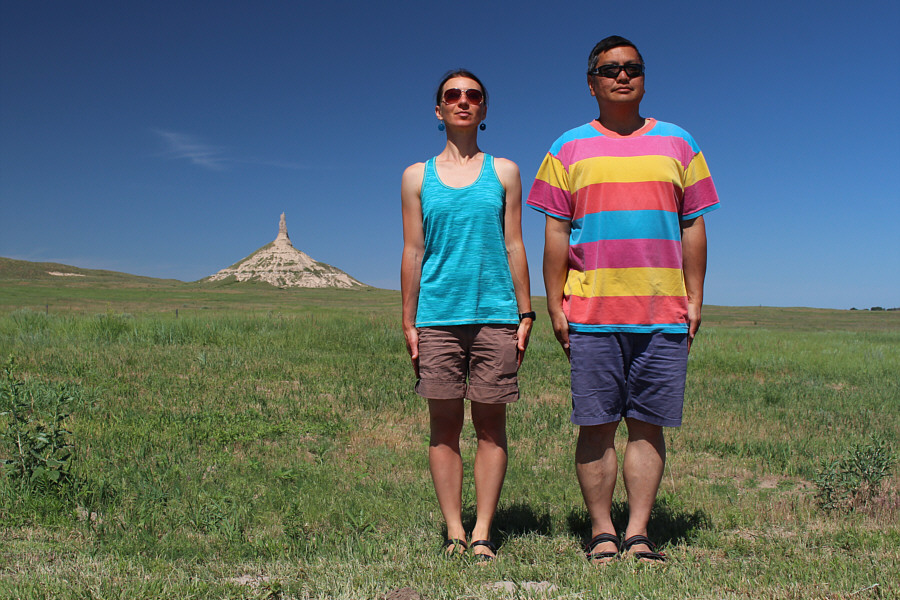
Zosia and Sonny stand at attention in front of Chimney Rock.
It's difficult to find any info on whether or not it has been climbed. 
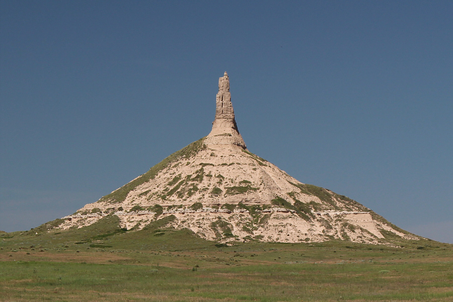
According to Peakbagger.com, the elevation of Chimney Rock is 1288 metres.
Leaving Chimney Rock, Zosia and I next headed to Scotts Bluff National Monument.  On our way there, we were inadvertently delayed in the city of Gering by the Oregon Trail Days Parade.  We were actually prepared to stop and watch the parade, but by the time we parked and found a spot to sit down, the parade was virtually over.  We subsequently drove to the nearby national monument which is notable for its sandy bluffs that rise prominently above the surrounding landscape.  Although it is possible to climb Scotts Bluff from the visitor centre via Saddle Rock Trail, most people--us included--simply drive the paved road to the top.  From there, a couple of short interpretive trails lead to some scenic viewpoints.
No hats for these poor kids?? 
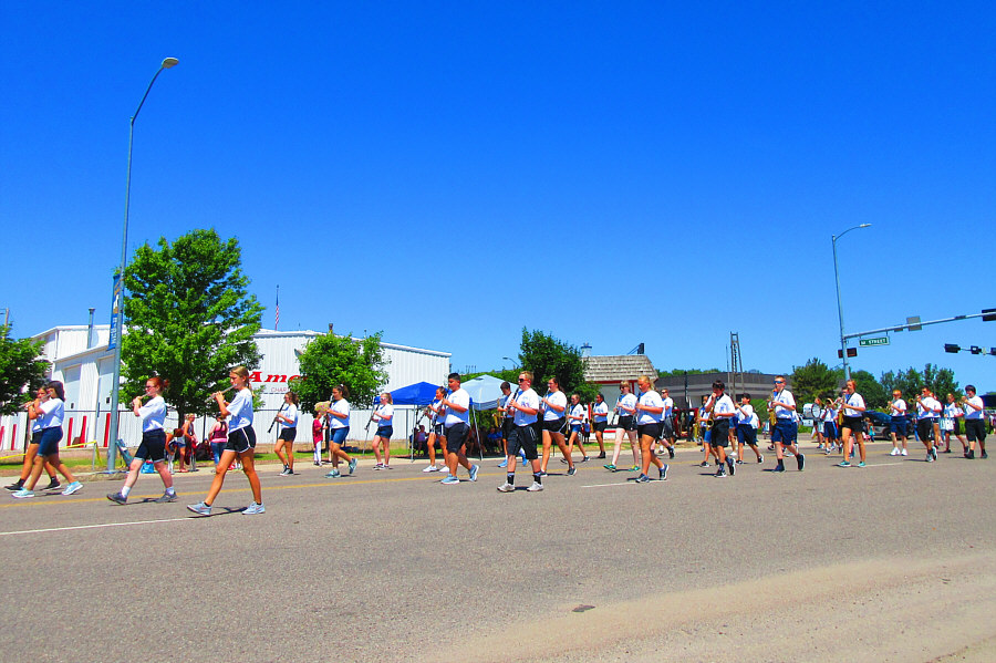
A marching band performs for the Oregon Trail Days Parade in the city of Gering.

Photo courtesy of Zosia Zgolak

I think we can manage the 0.8 kilometres even in the heat! 
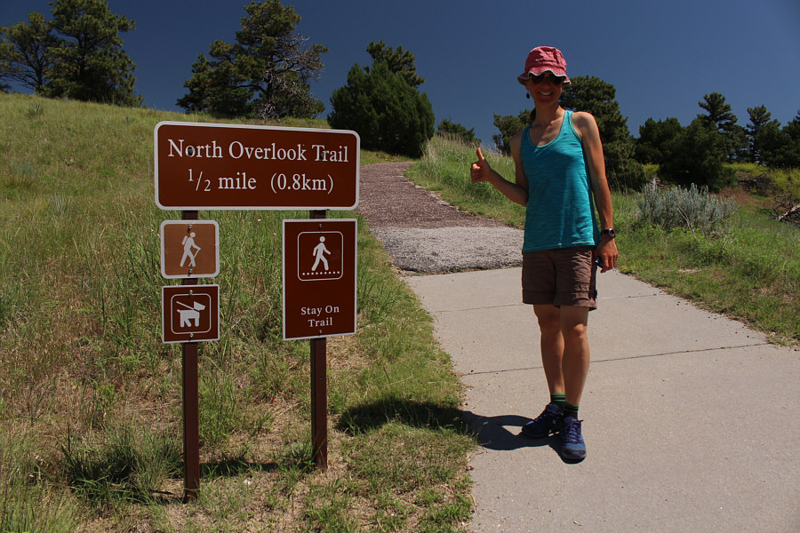
Zosia starts up North Overlook Trail at Scotts Bluff National Monument.
Look, I think I can see Saskatchewan from here! 
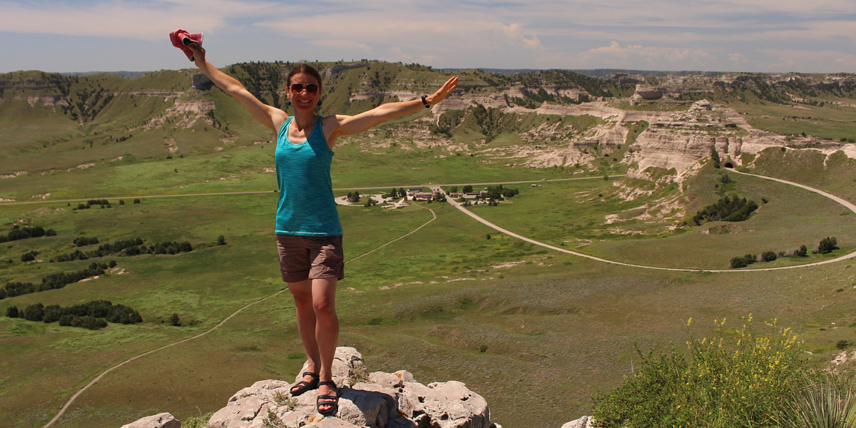
Zosia reaches the viewpoint at the end of North Overlook Trail.
Glad we did the longer 0.8-kilometre North Overlook Trail first! 
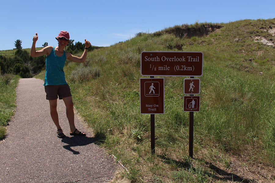
Zosia is game for a "second hike" at Scotts Bluff National Monument.
I'm good with driving up! 
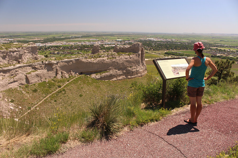
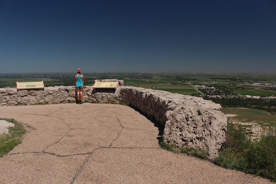
Zosia reads an interpretive sign high above Saddle Rock Trail which starts from the visitor centre and eventually leads to the top of Scotts Bluff (for those unwilling to drive up the road).

Fly, Zosia! Fly!

From the end of South Overlook Trail is this view of the visitor centre with Saddle Rock Trail running to bottom left.  The road to the summit parking area can also be seen going into a tunnel at far right.


After our visit to Scotts Bluff, we drove back through Gering and into the adjoining town of Scottsbluff where we found a nice picnic spot for lunch.  When we finished our relaxing lunch, we continued driving north and made brief stops at a few other places (Agate Fossil Beds National Monument and the town of Crawford), but the soaring temperatures in the afternoon sapped any desire to do anything more strenuous than eating ice cream.  By the end of the day, we were already in the Black Hills of South Dakota, but I think it would be worth returning someday, maybe during spring or autumn, to explore western Nebraska more thoroughly.

Who said Nebraska was all flat?

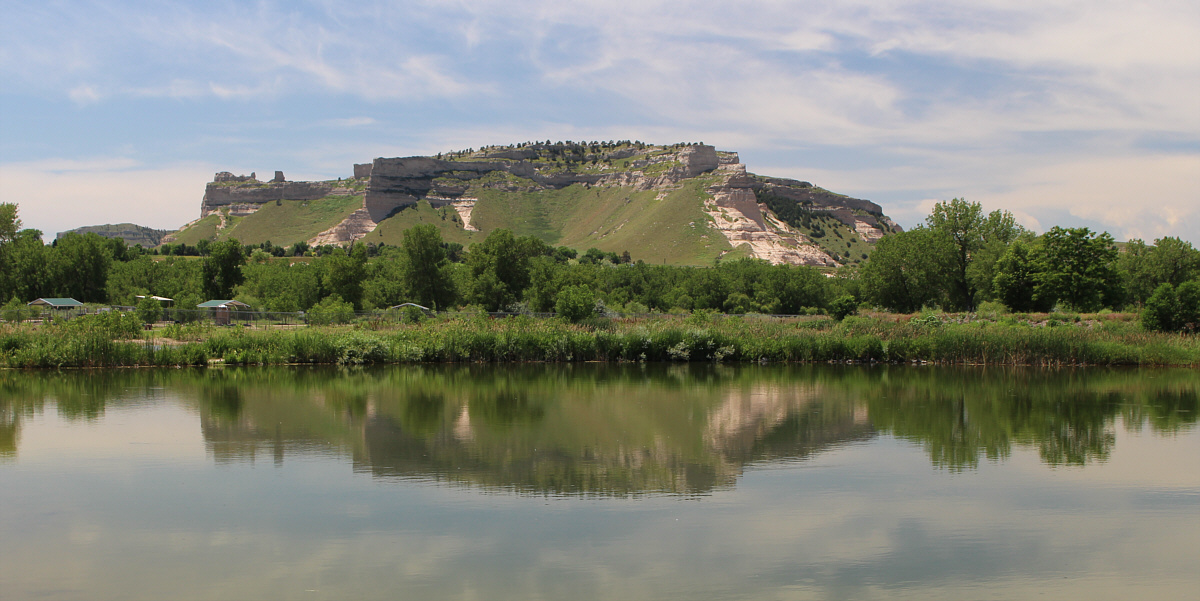
Scotts Bluff's northern aspect is reflected in a pond near Riverside Park in the city of Scottsbluff.


Those would've been two easy summits to bag, but it was just too hot for hiking! 
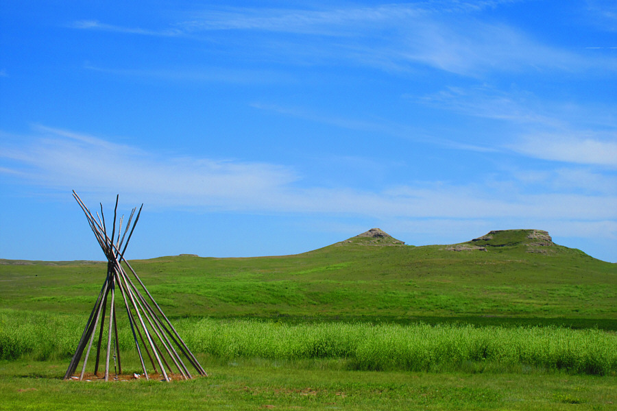
Near the visitor centre at Agate Fossil Beds National Monument stands an uncovered teepee.  In the distance are University Hill and Carnegie Hill.

Photo courtesy of Zosia Zgolak