 |
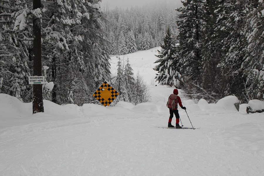
Zosia enters the cross-country ski trail network at Marshall Lake. |
 |
Zosia climbs along Grandview trail. |
 |
Zosia arrives at Dacha warming hut. |
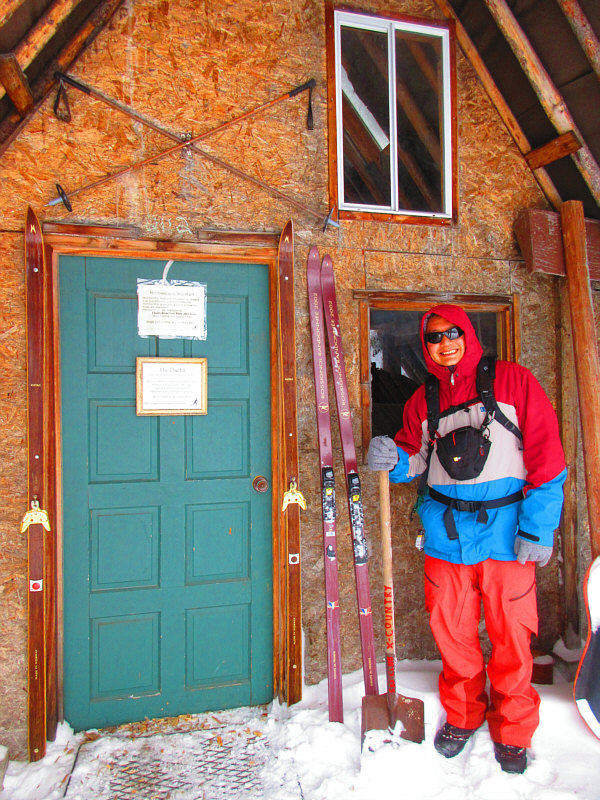 |
Sonny stands beside the entrance to
the hut. Note the old school 3-pin bindings on the skis
flanking the door. Photo courtesy of Zosia Zgolak |
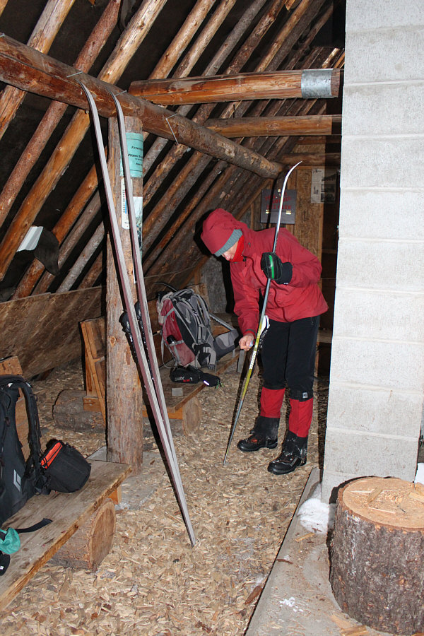 |
Inside the hut, Zosia puts more grip wax on her ski. |
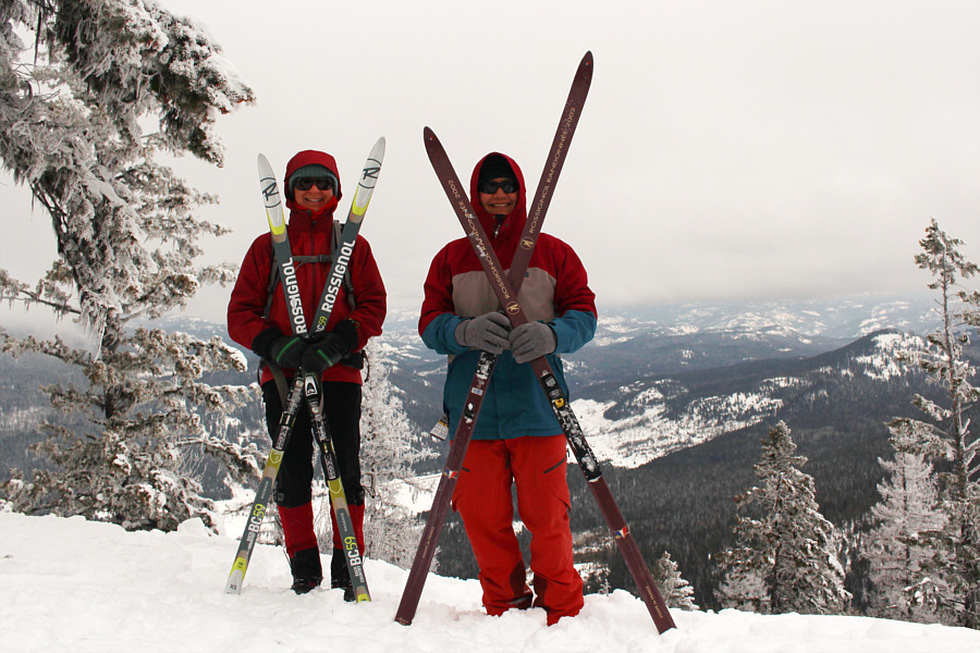 |
Zosia and Sonny pose with their "x-country" skis outside the hut. |
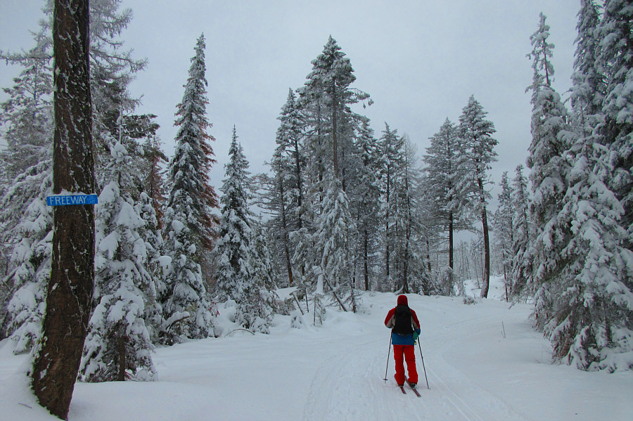 |
Sonny cruises the "Freeway". Photo courtesy of Zosia Zgolak |
 |
It appears that Sunshine trail has not been groomed in quite some time. |
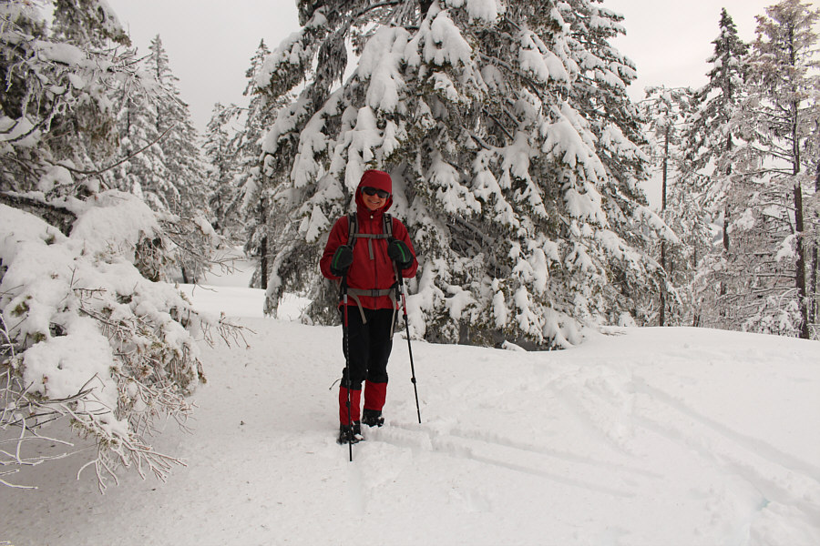 |
Zosia reaches Sunshine High Point (1449 metres) which is the highest point in the trail network. |
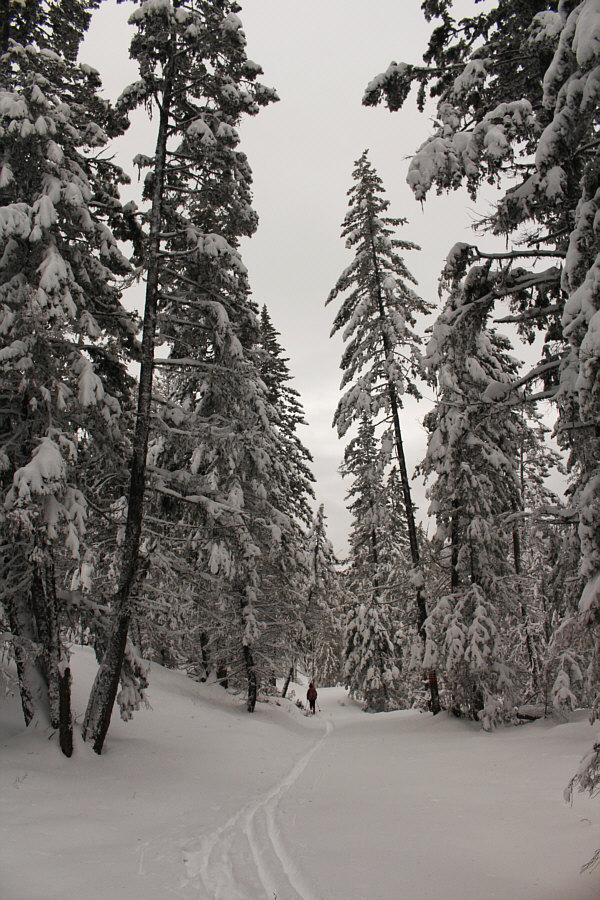 |
Zosia retraces her tracks back along Sunshine trail. |
 |
Zosia picks up speed on a downhill section near the west end of the trail network. |
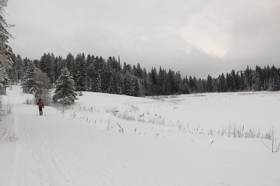 |
Zosia glides past Marshall Lake. |
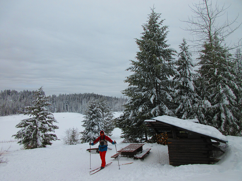 |
Sonny stops by a picnic shelter near
Marshall Lake. Photo courtesy of Zosia Zgolak |
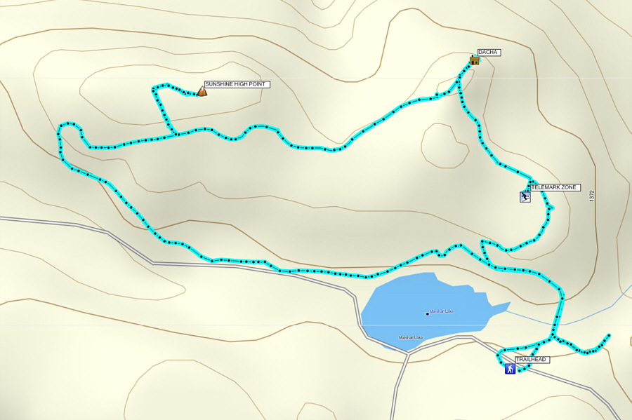 |
Total
Distance: 6.0 kilometres Round-Trip Time: 2 hours 51 minutes Net Elevation Gain to Sunshine High Point: 61 metres |
After backtracking to the top of the T-bar lift, we removed our skins and
skied back to the base area via an easy run known as Lizard. By
now, a large group had arrived and were tobogganing the lower slopes near
the base area. Apparently, the resort sees a fair bit of traffic
even when it is closed!
Satisfied with our accomplishments for the day, Zosia and I packed up our
gear and drove to the town of Midway where we checked into a hotel for
the night.
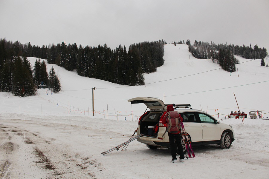 |
Zosia switches from light touring to AT ski gear at the Phoenix Ski Area parking lot. |
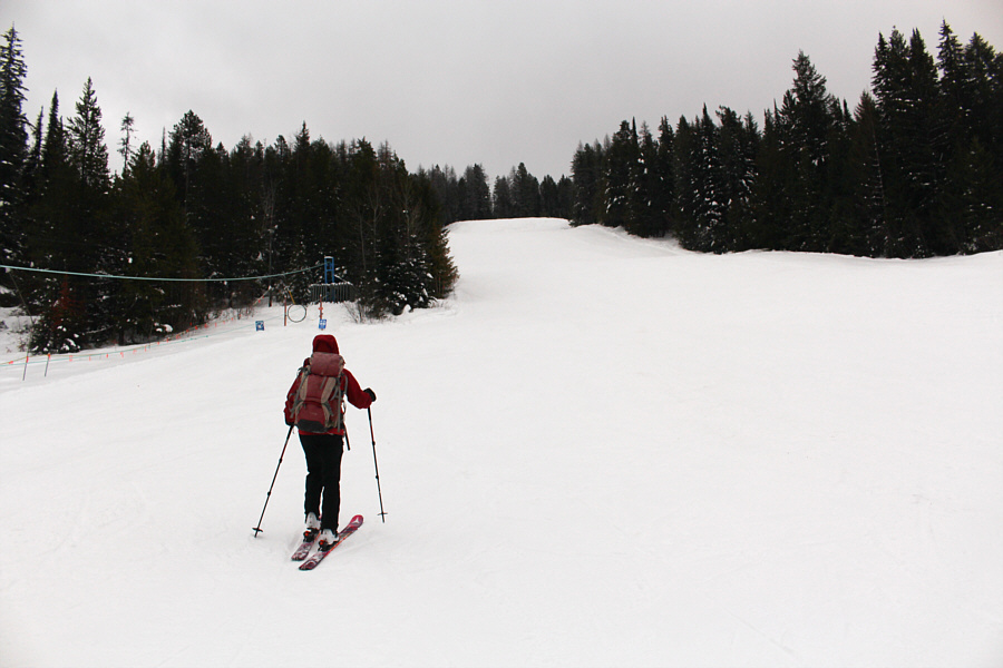 |
Zosia climbs alongside the rope tow near the base area. The intermediate ski run ahead of her is known as Bobcat. |
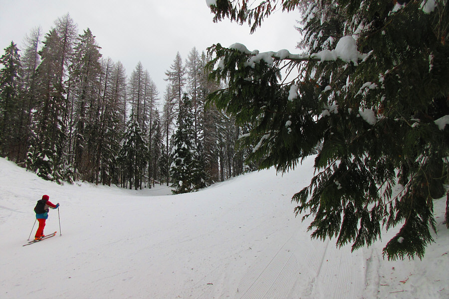 |
Sonny continues to grind his way up
the ski run known as Upper Montezuma. Photo courtesy of Zosia Zgolak |
 |
Zosia arrives at the top of the T-bar lift. |
 |
Zosia climbs over a snow drift on her way to the gazetted summit of Deadman Hill (not visible here). |
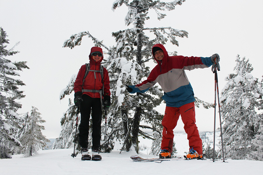 |
Zosia and Sonny stand on the gazetted summit of Deadman Hill (1497 metres). |
 |
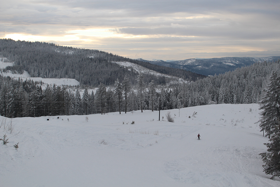
Zosia makes her way back to the top of the T-bar lift. |
 |
Zosia cruises down the easy ski run known as Lizard. |
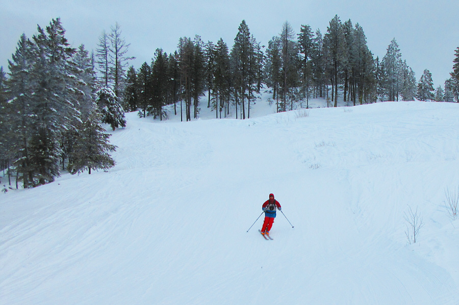 |
Sonny rips down Lizard with ease. Photo courtesy of Zosia Zgolak |
 |
The base area is within sight as Zosia descends the lower half of Lizard. |
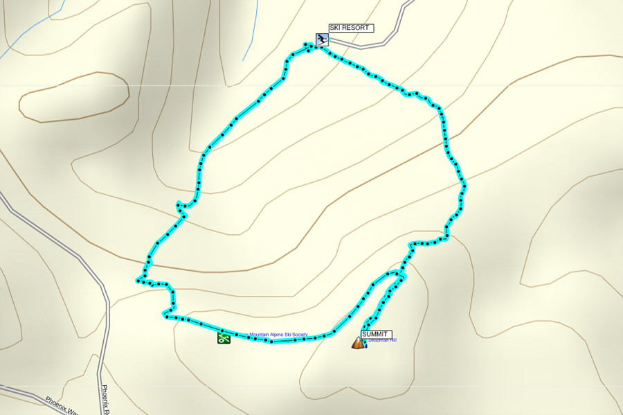 |
Total
Distance: 3.0 kilometres Round-Trip Time: 1 hour 24 minutes Net Elevation Gain: 230 metres |