BOU AVENUE
Poo Poo Point
Taking advantage of a great weather
forecast, Grace Bou (my mother), James Bou (my nephew), William Bou (my
brother) and I hiked up Poo Poo Point near Issaquah, Washington on 21
November 2019. The unofficial and quirky name of this subsidiary
summit of West Tiger Mountain is supposedly derived from the sound of
whistles used during logging operations. The two clearings at Poo
Poo Point are the result of those logging operations, and as such, they
are attractive to both hikers and paragliders. A restricted access
road runs up to both clearings, but most hikers climb up one of two
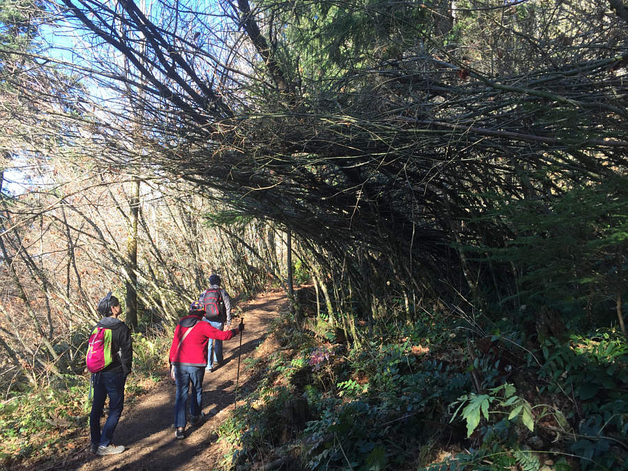
trails. Chirico Trail is the shorter of the two but is a steeper
ascent climbing nearly 500 metres over a distance of about 3 kilometres.
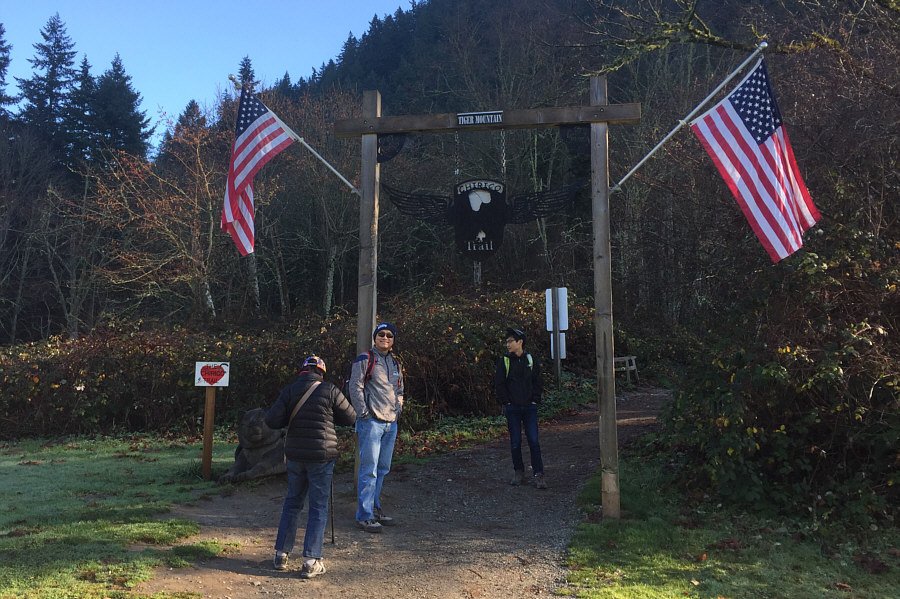
From I-90, turn off Exit 17 and head
south through downtown Issaquah on Front Street. Continue south
past the junction with 2nd Avenue SE (access for the alternate trailhead
on the south side of Issaquah High School) and drive for another 2.2
kilometres to reach the Chirico Trailhead parking lot on the left.
Chirico Trail makes a long traverse
southward before winding up a forested ridge to reach the first of two
clearings. The second clearing (Poo Poo Point) is about 400 metres
further to the north and can be accessed from the first clearing by a
connector trail or the restricted access road. Despite it being the
middle of a work week, the trail was incredibly busy on this day, and we
saw plenty of paragliders humping massive packs as well as the usual
assortment of hikers and accompanying dogs. Although we spent most
of the time hiking up through somewhat monotonous forest, the views from
both clearings on this day really made the drudgery worthwhile.
After reaching Poo Poo Point, we basically retraced our steps back to the
trailhead. The descent was a bit more challenging for my 82-year
old mother as she struggled a bit with a sore waist, but she eventually
made it back down, slowly but surely, with a little help from the rest of
us (round-trip time of 4.5 hours). Overall, this was a really
gratifying hike for me mainly because I was able to share the experience
with my closest family. As far as I know, this is the first hike I
have ever done with both my mother and my brother. I have high
hopes that there will be other occasions in the future for us to share
the trail together.
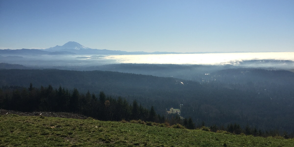
Mount Rainier stands out on the southern horizon in
this view from the clearing.
 |
Grace heads back into forest for the
final climb to Poo Poo Point. |
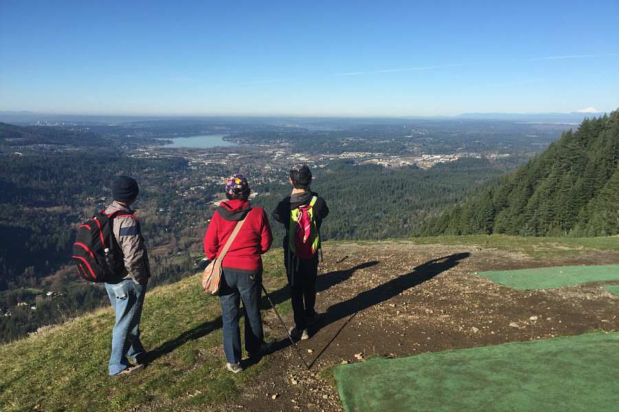 |
William, Grace and James enjoy the
view of Lake Sammamish from Poo Poo Point. Visible on the
horizon at far right is Mount Baker. The artificial turf in the
foreground is used by paragliders who use Poo Poo Point as a launch
site. |
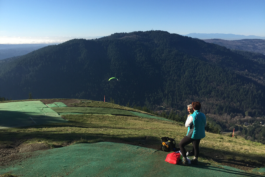 |
A paraglider has taken off from Poo Poo Point with Squak Mountain in the
background. |

Sonny, James, Grace and William stand near the top of
Poo Poo Point (~560 metres). This is the second time that James has
been up here.
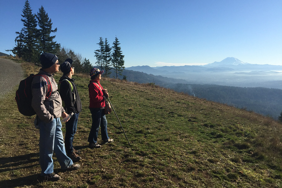 |
On their way down, William, James and
Grace take another look at Mount Rainier. |
 |
Another paraglider takes off from the
first clearing. |
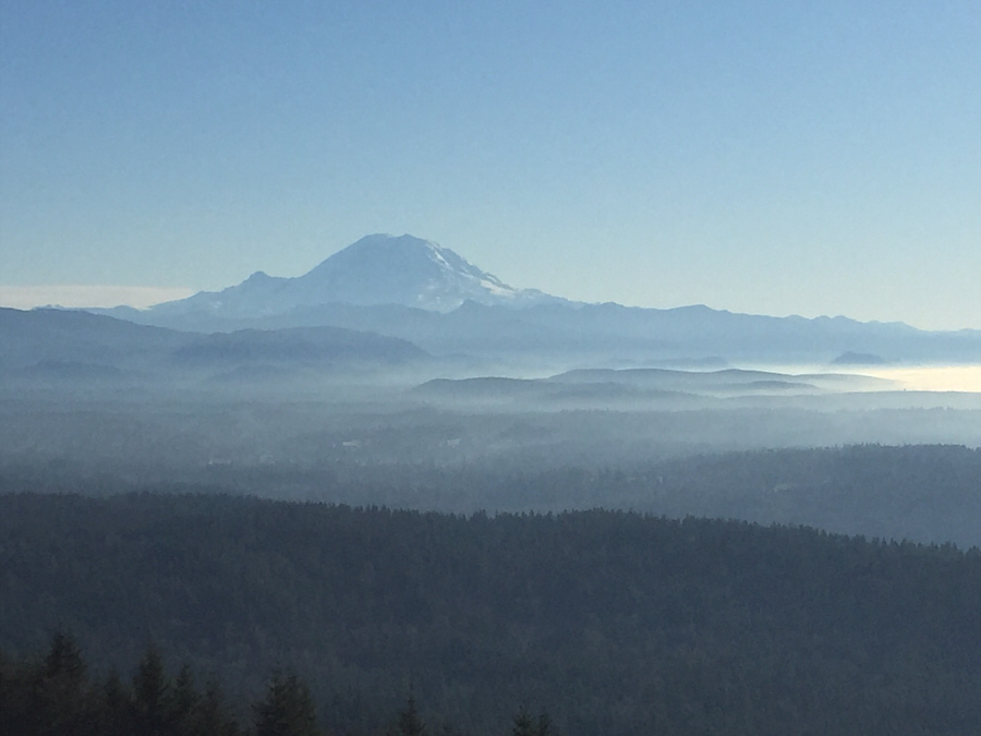 |
Here is one last look at Mount
Rainier. |