BOU AVENUE
Salmo Ski Hill And Lightning Strike

Winding down our week-long road trip to the West Kootenay and Okanagan regions of British Columbia (BC), Zosia Zgolak and I had originally planned to start our return to Calgary via Trans-Canada Highway on 5 January 2019.  However, a severe winter storm in central BC prompted us to head south instead and take Crowsnest Highway for our journey home.  Consequently, we paid a visit to Salmo Ski Hill that morning to continue our tour of obscure ski resorts in western Canada.

Located on the outskirts of its namesake town, Salmo Ski Hill is a comparatively small resort boasting five ski runs, a T-bar lift and a beginners' rope tow.  The two lifts were not yet operating when Zosia and I arrived, but we were planning to skin uphill anyway and quickly geared up.  As we began skiing away from the base area, a gentleman--presumably a volunteer worker--on the day lodge's second-floor balcony asked us where we were headed.  When I told him that we were planning to climb to the top of the resort, he proceeded to give us a lot of information--more than we really needed--about the various trails that we could take.  Obviously, he did not have an issue with us skinning within the resort, and we proceeded up the hill with clear consciences.

For some odd reason, we ended up climbing East Run which is the steepest and most difficult of the resort's five runs.  Sure enough, we had some difficulty getting up some steep icy sections, but they were generally short-lived and still reasonable to skin up.  We later veered over to the easier Main Run before taking a road of sorts up through a forested section.  Emerging from the trees, we picked up Main Run again and finished our ascent at the top of the T-bar lift which was now in operation.

After taking a short break and removing our climbing skins, we started descending Main Run to get back to the base area.  Normally, this would have been a straightforward descent for me, but about halfway down, I suddenly had an urgent need to make a pit stop in the trees.  My stomach had been churning all morning, and it is likely that something that I ate recently did not agree with me.  In any case, I felt a lot better after my pit stop although I would advise anyone visiting the resort in the near future to avoid skiing through a particular grove of trees on skier's right about halfway down Main Run!  I eventually caught up to Zosia on the lower half of Main Run, and together, we descended the remaining distance to the base area without further problems.

Of all the skiing Zosia and I did on our road trip, we experienced the worst snow conditions at Salmo Ski Hill.  The weather in the area had been quite warm, and as a result, ski runs were quite icy.  Having said that, the resort has a certain small town charm about it, and I would still consider coming back here in the future but only after a really good, fresh dump of snow.
Don't worry; it gets steeper! Zosia climbs up the trail known as East Run at Salmo Ski Hill.  East Run is the only black diamond run at the resort.
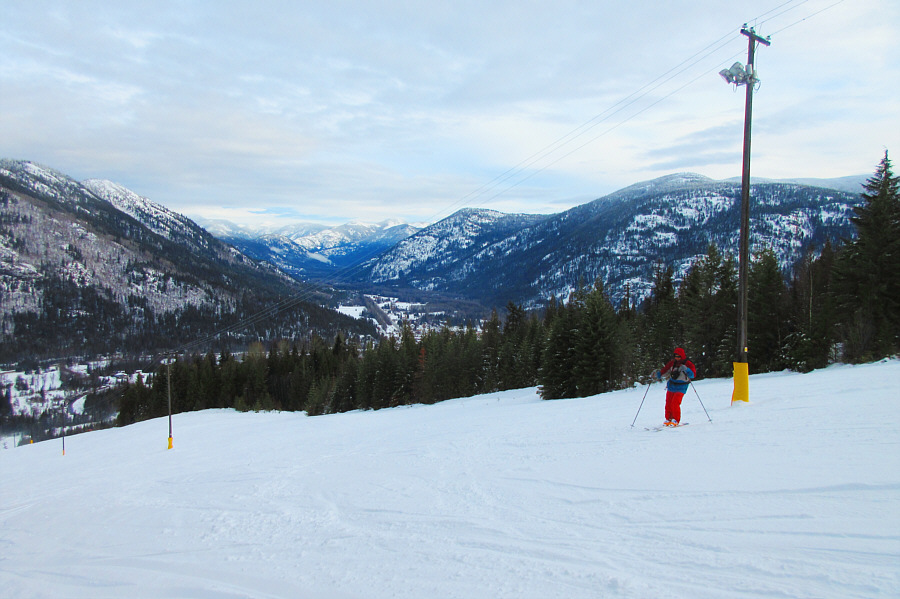
Well, I guess we don't have to worry if the sun goes down early! Main Run is the easiest route down to the base area, and it is also the only run available for night skiing.
My stomach is churning...

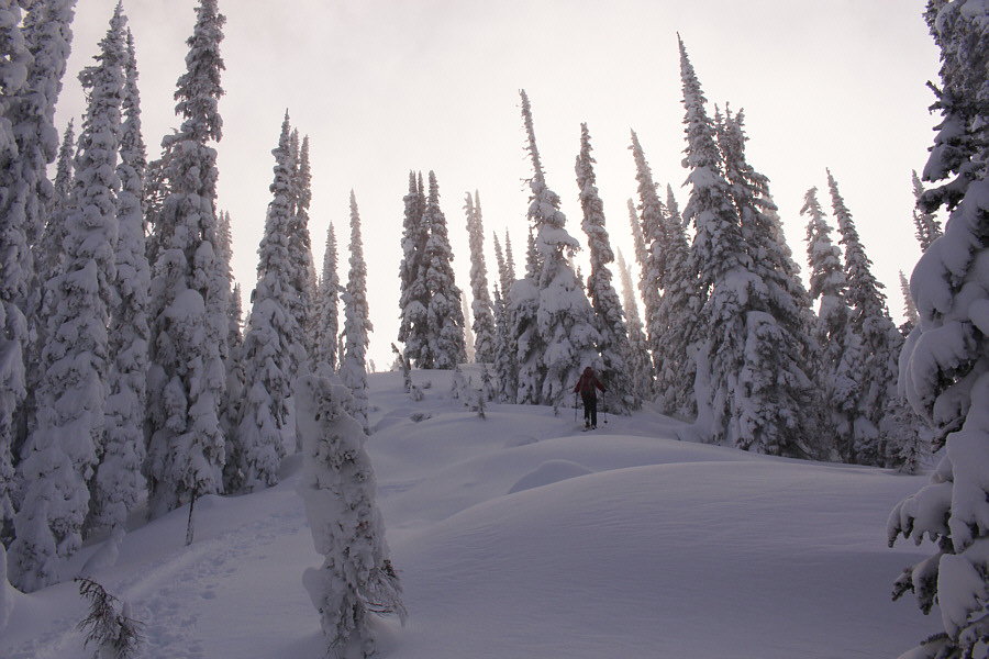
Sonny pauses for a breather while climbing up a narrow trail through the forest.

Photo courtesy of Zosia Zgolak

The ski hill should be open by now. Where is everybody?? Zosia approaches the top of Salmo Ski Hill.
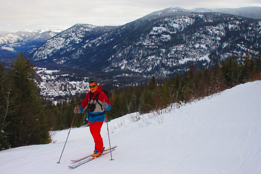
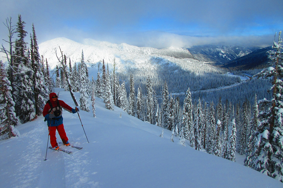
I'm feelin' a bit queasy right now! The town of Salmo is visible behind Sonny in this view from the top of Salmo Ski Hill.

Photo courtesy of Zosia Zgolak

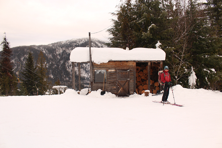
Given the low traffic here, that guy sitting inside must be bored out of his mind! Zosia stands next to the lift operator's shelter at the top of the resort's T-Bar lift (1032 metres).
I need to find a bathroom...quick!

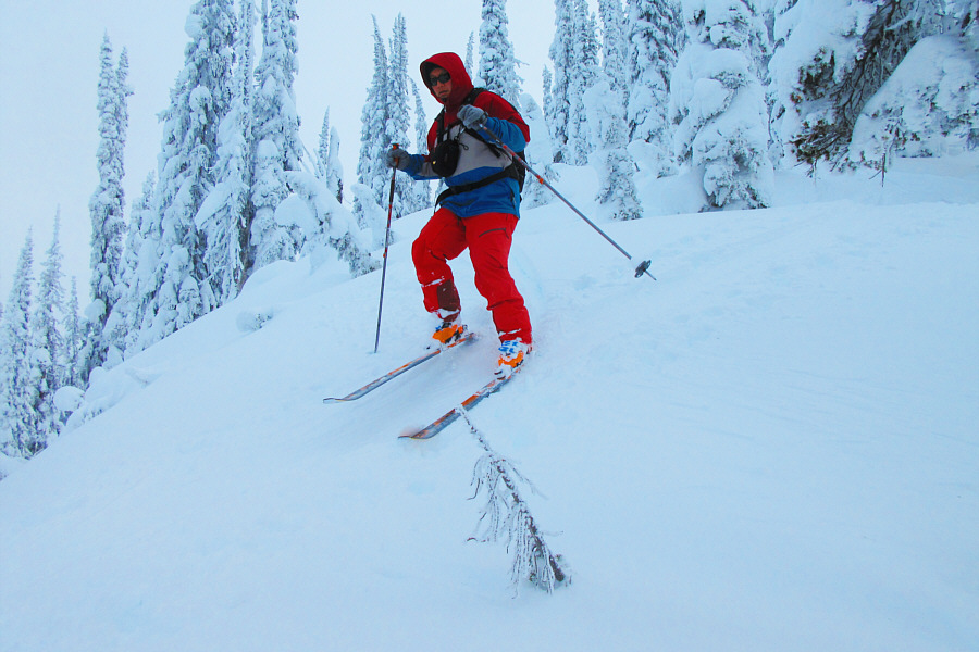
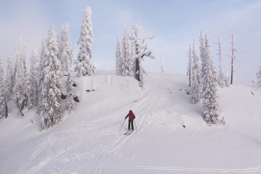
Sonny descends Main Run.

Photo courtesy of Zosia Zgolak

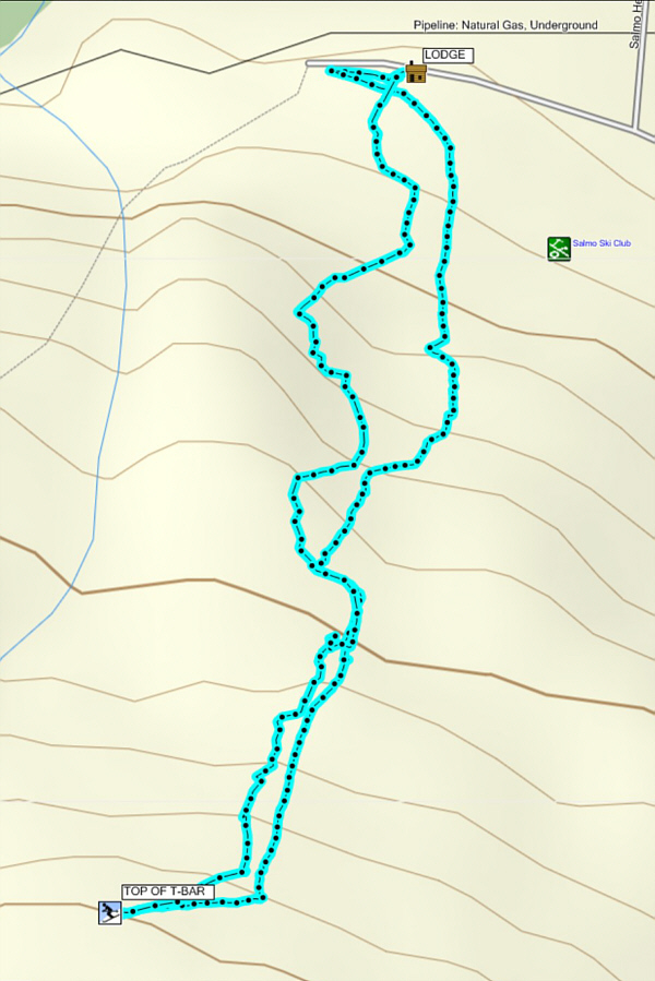
Worst ski of our road trip, but I would come back after a fresh dump of snow. Total Distance:  3.5 kilometres
Round-Trip Time:  1 hour 47 minutes
Net Elevation Gain:  343 metres

GPX Data

Leaving Salmo Ski Hill, Zosia and I next drove to Kootenay Pass which we had previously visited only six days earlier near the start of our road trip.  Our plan this time was to climb Muffin North as described in BackcountrySkiingCanada.com.

From the parking lot at Kootenay Pass, we carefully crossed to the south side of Crowsnest Highway before strapping on our skis and following Monk Creek Forest Service Road (FSR) southward.  About 600 metres or so from the highway, we left the road and followed some previous skiers' tracks westward.  After an initial slight dip, we crossed a flatter section and then started climbing prematurely up a forested ridge.  In retrospect, we should have maybe left the road sooner or descended in a more northwesterly direction to contour around the ridge we were now climbing up, but the tracks we were following were too compelling to abandon.  By the time we reached the crest of the ridge, it was clear that we were too far east of Muffin North.  Instead, we had gained the north ridge of what turned out to be a mountain known as Lightning Strike.  Rather than backtrack to where we had gone wrong, we opted to keep following our tracks southward up the ridge crest in hopes of reaching the top of our new objective--Lightning Strike.

With a broken trail to follow, the climb up the north ridge of Lightning Strike turned out to be quite straightforward and even enjoyable.  The upper part of the ridge flattens out a bit with a few dips along the way, but there are no serious difficulties.  Upon reaching the summit, we stopped for a short break before returning the way we came.

On descent, we kept our skins on in anticipation of the aforementioned dips along the ridge, but once the ridge started to descend for good, we stopped to remove our skins.  Snow drifts on the ridge crest made for some rather bumpy skiing on our way down, but the snow was excellent and very forgiving of our general lack of good technique.  Near the end of the ridge, we wandered a bit too far to the north and found ourselves above some frighteningly steep drop-offs.  With some strenuous effort, we managed to traverse eastward and climb back to our original up track before skiing down more reasonable slopes.  We managed to cross the flat section at the base of the ridge without putting our skins back on, and once we regained Monk Creek FSR, we easily cruised back to the highway.

After packing up our gear, we drove east to Cranbrook where we would spend the last night of our road trip.
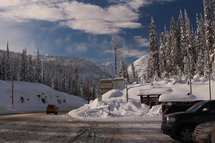
They really need to build another parking lot on the south side of the highway! From the parking area at Kootenay Pass, Lightning Strike's north ridge is visible at left.

I wanna ski them both!

The Muffin (left) looks both striking and intimidating west of Kootenay Pass.  Muffin North is the less prominent mound on the right.
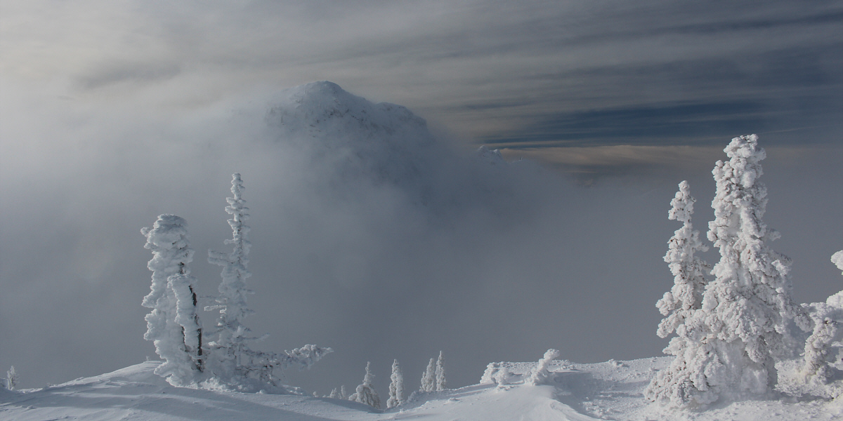
 

The light turned green. You're good to go, Zosia! A short distance from the highway is this information board with an avalanche beacon checkpoint.
Woof woof...awooooooooooo!!! Stagleap Provincial Park staff apparently have a great sense of humour.
To get to Muffin North, we should actually be descending at this point! Shortly after leaving the Monk Creek Forest Service Road, Zosia follows some previous skiers' tracks up a forested slope.
Oops, we're on the wrong ridge! The previous skiers' tracks lead Sonny to the crest of Lightning Strike's north ridge.

Photo courtesy of Zosia Zgolak

Well, let's see where this goes... Rather than backtracking to reach Muffin North, Zosia continues to climb the north ridge of Lightning Strike.
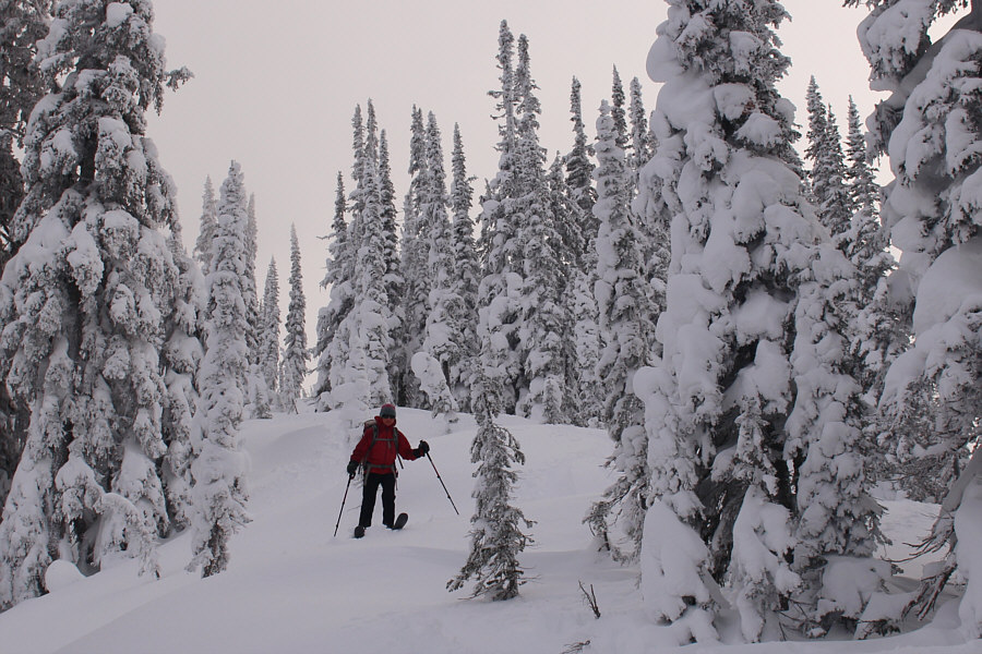
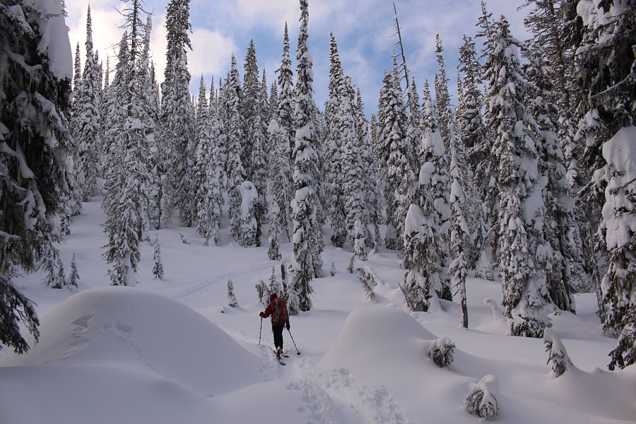
So far, so good! The climb up the ridge is steady but never too steep.
This one is a bit awkward to get up on the way back. The north ridge of Lightning Strike has a few dips along its crest.
Very cool. The sun and clouds help create some dramatic lighting on the ridge.
Best photo of the day! The ridge looks rather wild as Sonny approaches the top of Lightning Strike.

Photo courtesy of Zosia Zgolak

Another great photo by Zosia. Yay! Sonny raises his poles in triumph upon reaching the summit of Lightning Strike.

Photo courtesy of Zosia Zgolak

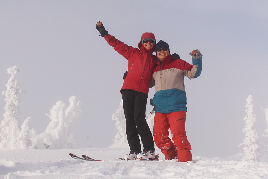
We were supposed to eat these on top of Muffin North! Zosia joins Sonny on the summit of Lightning Strike (2183 metres) with some muffins.
Looks very intriguing to me... To the southeast, the rightmost of the three peaks appearing through the mist is named Snowy Top and is actually located within the state of Idaho.

Looks like a worthy objective for another day...

To the west, the clouds clear briefly to reveal unofficially-named Monk Peak.
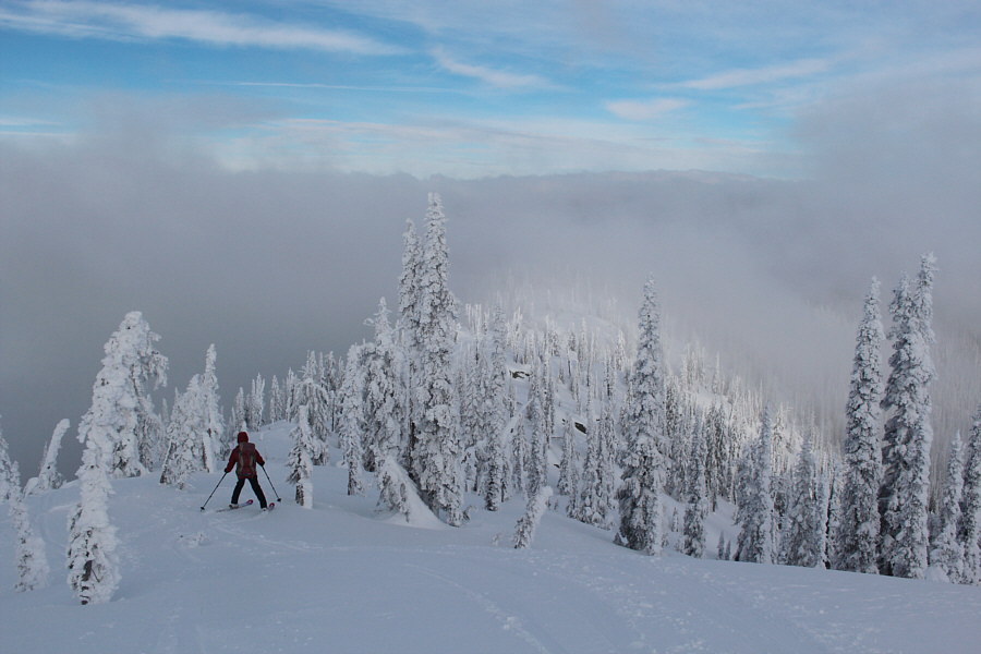
 

It's worth keeping the skins on for a few uphill sections on the way back. Zosia skis back along the north ridge of Lightning Strike.
A bit of survival skiing here! Sonny looks like he is walking down the ridge with his skis.

Photo courtesy of Zosia Zgolak

Sure is fun to ski though! The snow drifts on the crest of the ridge make for some bumpy skiing.
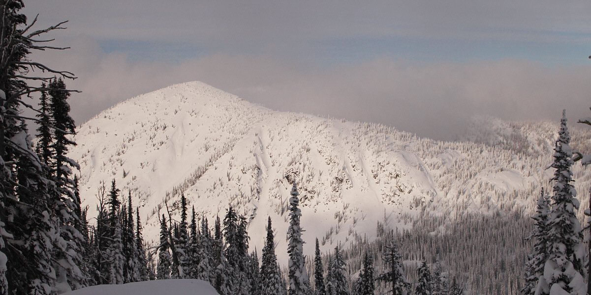
How tempting would it be to ski that avi gully? A break in the trees along the ridge grants this view of The Muffin.

I would definitely ski this one again on a clear day!

Near the end of Lightning Strike's north ridge is this great view of Cornice Ridge.


It's better to get off the north ridge to skier's right sooner than later! Zosia enjoys some great powder skiing on her way back to Kootenay Pass.
A wonderful accidental ski ascent! Total Distance:  7.3 kilometres
Round-Trip Time:  4 hours 1 minute
Net Elevation Gain:  397 metres

GPX Data