Located within British Columbia's Gladstone
Provincial Park, Mount Gladstone is one of a handful of named peaks in
the Christina Range of the southern Monashee Mountains. While these
lowly peaks are of little interest to more serious mountaineers, their
obscurity makes them all the more attractive to me. Mount Gladstone
is the second highest peak in the park with probably the easiest access.
Route information is somewhat limited online, but the
description from Ron Perrier's website was enough to get me pointed
in the right direction. Thus, Zosia Zgolak and I made an ascent of
Mount Gladstone on 7 August 2020 after spending the previous rainy night
at a surprisingly nice camping spot in the nearby historic rail station
of Farron (picnic shelter and outhouse).
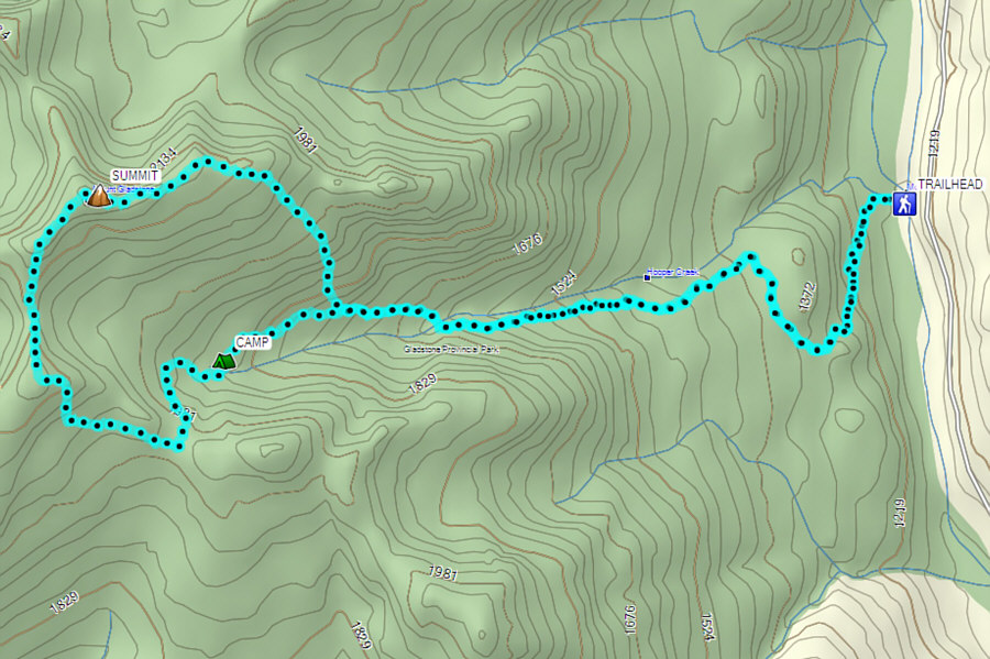
From Highway 3, turn north onto Paulson Detour Road 20 kilometres west
of the junction with Highway 3B or 30 kilometres east of the junction
with Highway 395. Follow the paved road for 2.6 kilometres to a
5-way junction. The Columbia & Western (C&W) Rail Trail--part of
the Trans-Canada Trail--passes through here, and there is a large pullout
with an information kiosk next to the section of trail heading north.
Drive north on the C&W Rail Trail (good 2WD gravel) for 2.4 kilometres to
another information kiosk next to a foot bridge. This is the
trailhead for Mount Gladstone. Note that this kiosk only has
historical information and nothing in regards to Mount Gladstone or the
trail up Hooper Creek. On a separate note, Perrier and another trip
report by Sandra
McGuinness refer to this drainage as "Hopper Creek", but all maps that I
could find label it as "Hooper Creek". The historic Farron rail
station is located a further 3.7 kilometres north of the trailhead.
From the information kiosk, Zosia and I crossed the foot bridge to a
glade which was apparently the site of a lumber camp. We spotted
flagging at the west side of the glade and picked up a trail which soon
follows an old road climbing southward up the slope. About a
kilometre from the trailhead, the trail turns north and ultimately heads
westward along the south bank of Hooper Creek. Although hiking
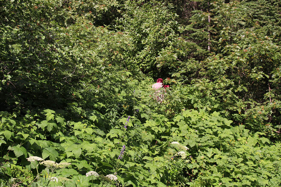
along the trail was generally straightforward, there were a few sections
that were quite bushy and overgrown. We eventually crossed over to
the north bank of Hooper Creek, but given the thickness of the bush, it
was difficult to find a suitable place to leave the trail and head uphill
to the east ridge of Mount Gladstone as suggested by Perrier.
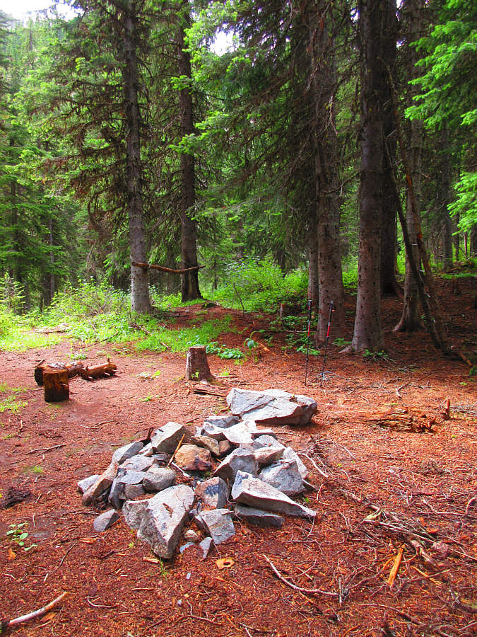
Instead, we kept following the trail which led us past an old campsite
and then up to the crest of the encircling ridge above Hooper Creek
basin. At this point, we were pretty much following Perrier's
described alternative route, and we abandoned the trail to follow the
ridge northward to Mount Gladstone. To avoid some steep cliffs, we
initially stayed well to the climber's left of the ridge crest, but
off-trail travel here was scrubby and tedious. Things improved once
we scrambled to the top of an unnamed high point along the ridge, and
although we had to lose a bit of elevation to continue northward, there
were no more route-finding difficulties the rest of the way to the
summit.
At the summit, Zosia and I took a well-deserved break before commencing
our descent. Rather than backtrack, we hoped to save some time and
distance by heading eastward and descending Perrier's original described
ascent route. As we would soon learn, this route is far from
trivial and entails a lot of route-finding and a fair amount of
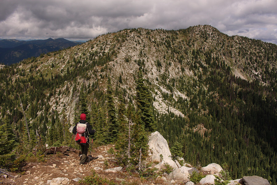
bushwhacking. The east ridge of Mount Gladstone is a bit of a mixed
bag with some easy stretches interspersed between some surprising
drop-offs or bushy terrain. We muddled along the ridge for awhile
before leaving the crest to drop down some very steep but open slopes.
Inevitably, the forest closed in on us as we dropped lower, but
thankfully, the ensuing thrash was pretty short-lived as we quickly
intersected the main trail. Of course, I would never have
considered leaving the trail at this spot to ascend to the east ridge,
and I am still puzzled about where Perrier's original route goes.
The remainder of our hike out went without a hitch, and since we did not
have far to drive for our next day's planned objective, we opted to
return to Farron to camp for a second night.
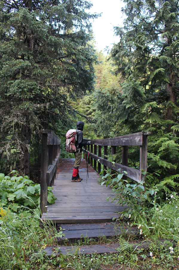 |
Zosia crosses a bridge over McRae
Creek at the trailhead. |
 |
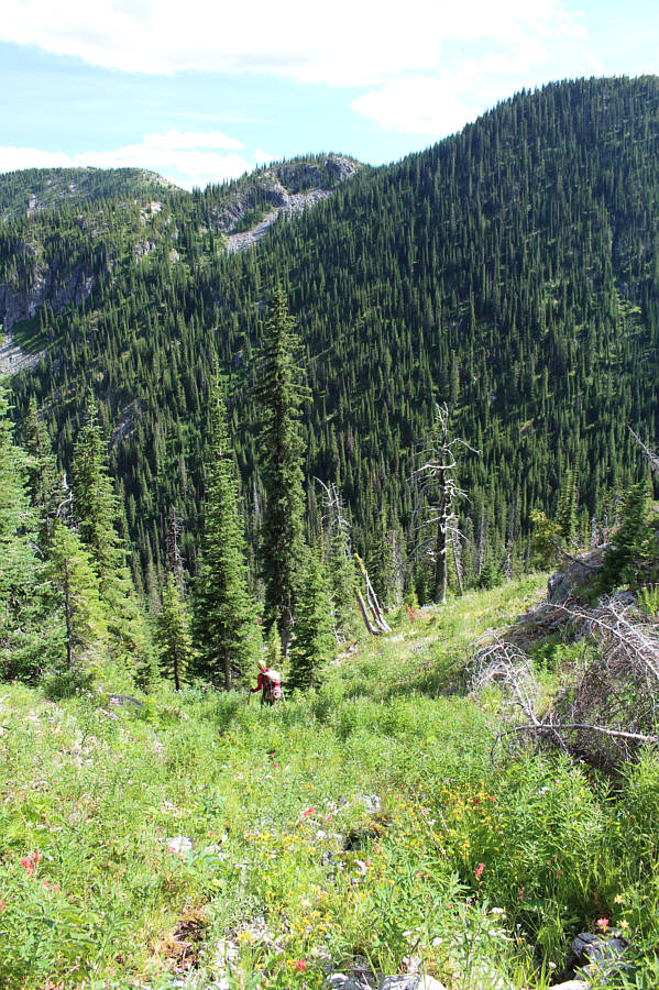
After a somewhat nebulous start, Zosia finds an old road to climb up. |

The trail initially climbs up through old-growth forest
such as this.
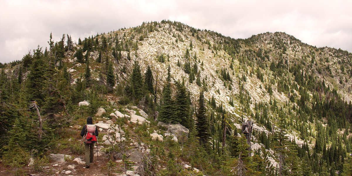
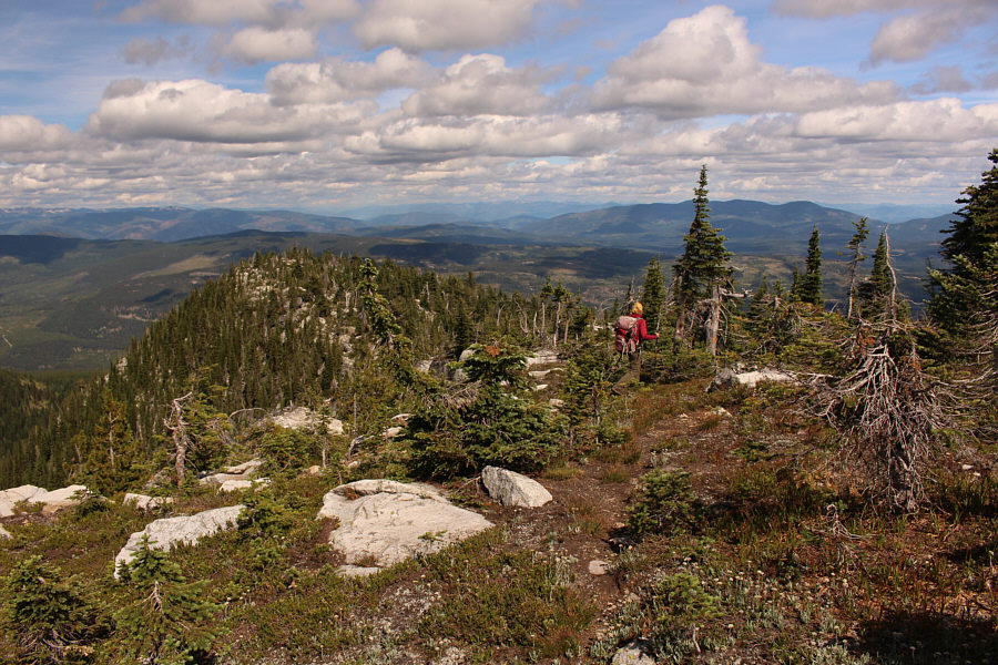
After losing about 60 metres of elevation, Zosia begins
the final stretch of climbing to the summit (right).
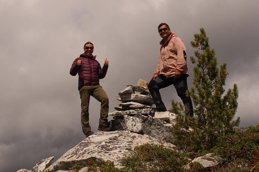 |
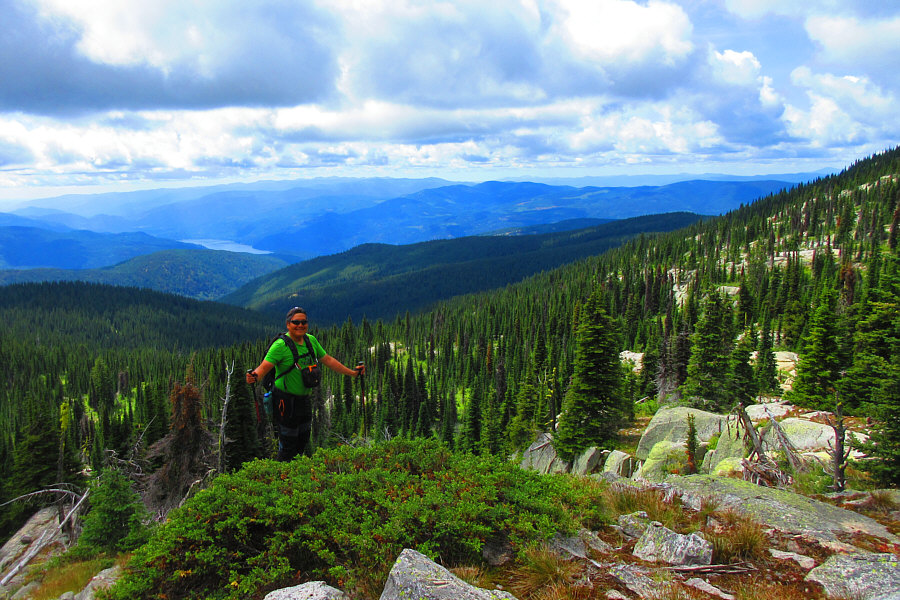
Zosia and Sonny stand on the summit of Mount Gladstone (2247 metres). |
 |
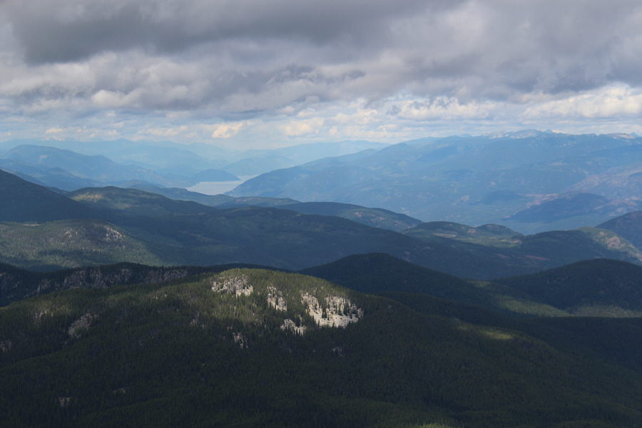
Here is another look at Christina Lake to the southwest from the summit. |
 |
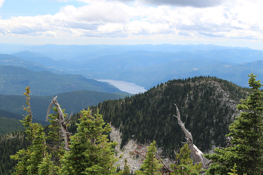
A small part of Lower Arrow Lake is visible to the northeast. |
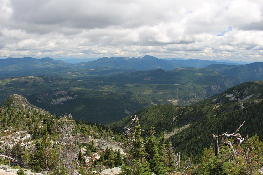 |
The view to the southeast includes Old Glory Mountain (right of centre). |
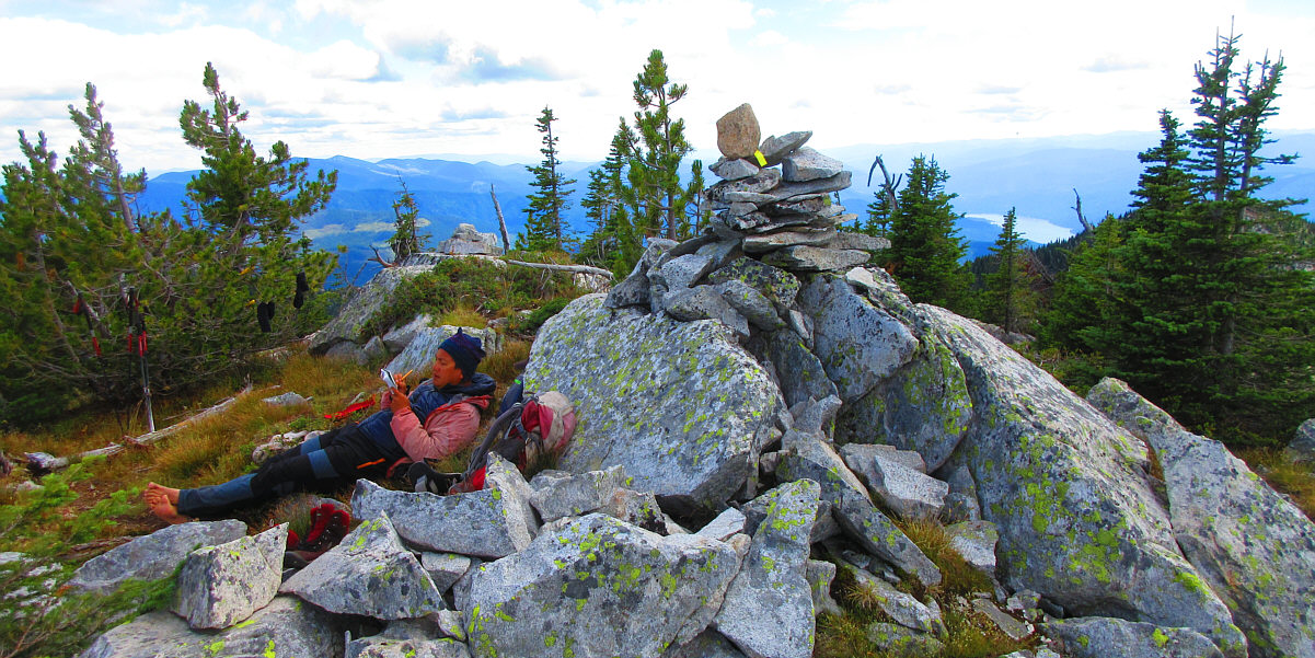
Sonny relaxes beside the summit cairn as he writes a
limerick in the register.
Photo courtesy of Zosia Zgolak