BOU AVENUE
Ambler Mountain

On 1 July 2021, Zosia Zgolak and I returned to Grande Cache, Alberta to hike up Ambler Mountain located just west of the townsite.  A well-maintained trail runs all the way to the top and is described in the local hiking brochure.  When we tried driving up the access road last December, I got my car stuck on a rock hidden under deep snow and barely escaped after over two hours of frantic digging.  This time, we had no issues whatsoever driving up the road.

From the intersection with Hoppe Avenue in Grande Cache, drive west on Highway 40 for 8.8 kilometres and turn left onto Beaverdam Road (2WD gravel).  Drive 7.0 kilometres to an unsigned double trailhead.  There is ample space for parking on the east side of the road.  The route to Ambler Mountain starts along a 4WD road branching off the west side of Beaverdam Road.

From the trailhead, Zosia and I followed the 4WD road westward passing a potentially confusing junction (keep right) in just 250 metres.  Another 250 metres further, we reached another junction with the trail proper to Ambler Mountain.  The remnant of a sign can be found here, but it is pretty badly chewed up.  We hiked up through forest for about another 2.5 kilometres before breaking out of the trees onto flowery meadows.  A small memorial to the mountain's namesake is located near here.  Strangely enough, the actual summit of Ambler Mountain is unmarked, and the trail passes over it before dropping into a dip in the ridge.  Climbing up the other side of the dip, we soon reached a subsidiary high point which is topped by a "summit" register mailbox, part of the area's Passport to the Peaks program.

While Zosia and I took a break near the mailbox, we were joined by a local hiker who chatted at length with us before he turned around for the hike out.  We followed soon after as soaring temperatures made it too unbearable to linger.  Retracing our steps, we hiked back across the dip and stopped briefly at the true summit for a quick photograph.  The remaining hike back to the trailhead was trouble-free, and we subsequently drove to a nearby river for a cold and refreshing dip in the water.
No bushwhacking means that we're doing good!

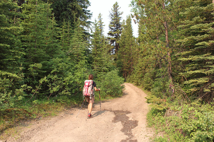
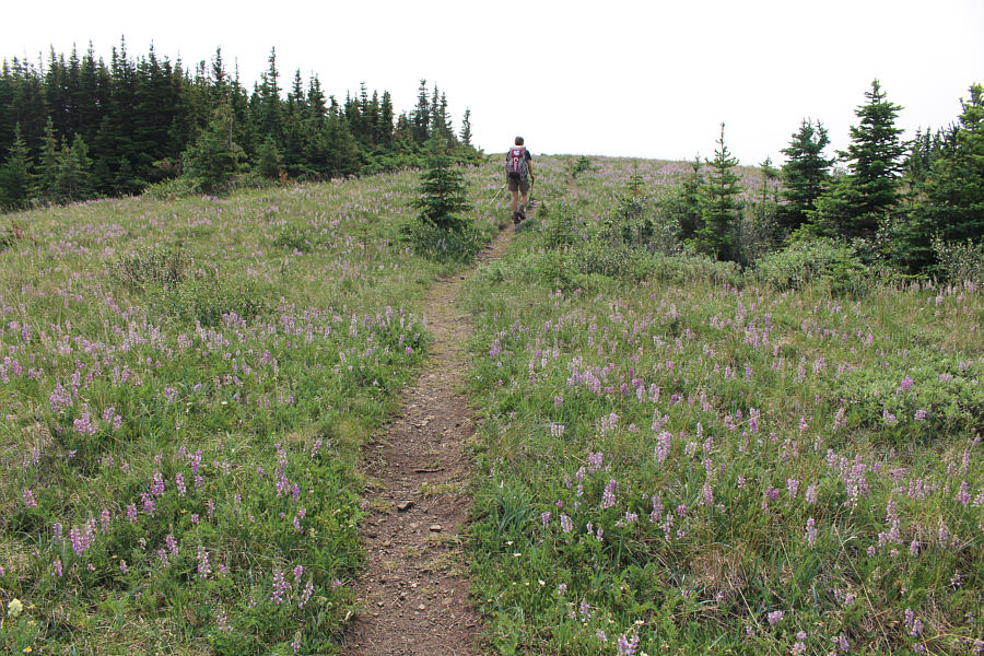
Zosia starts up the 4WD road leading to Ambler Mountain.

My, what big claws you have!

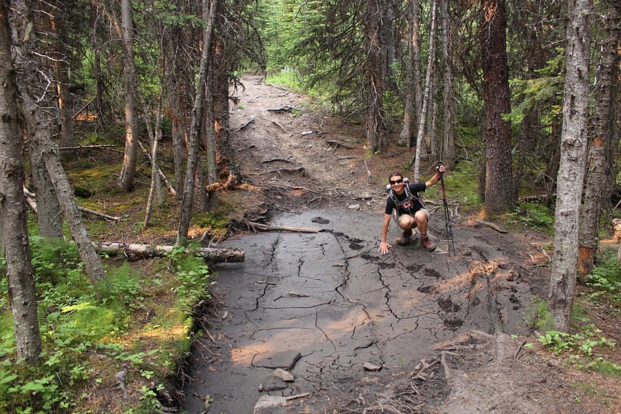
Zosia checks out some fresh bear tracks.

Looks kinda hazy...

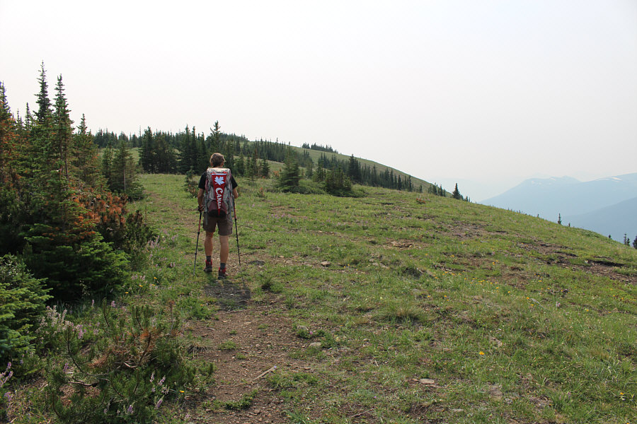
The trail breaks out of the forest about three kilometres from the trailhead.

Shut up! It's a hold-up, not a Botany lesson. Now, no false moves please. I want you to hand over all the lupins you've got. This meadow is filled with lupins.
It's definitely lower...definitely! The trail drops into a dip before climbing up the subsidiary high point in the distance.
Zosia really embraces Canada as you can see!

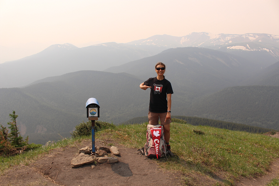
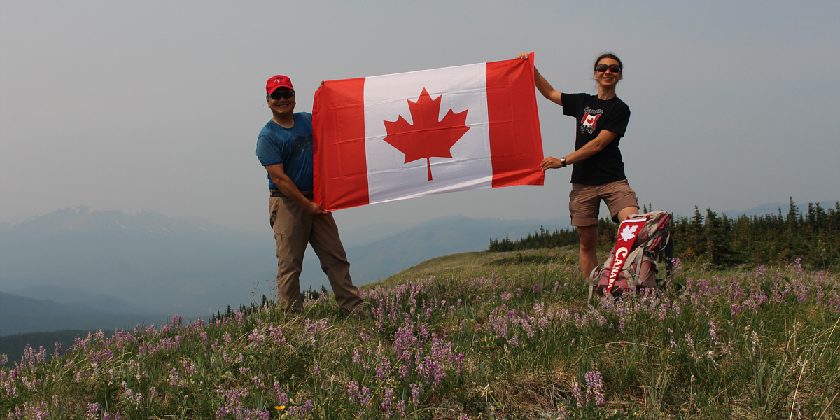
On the subsidiary high point (1888 metres) is a mailbox which is part of Grande Cache's Passport to the Peaks program.  Despite haze from British Columbia forest fires, Mount Stearn (far left) and Lightning Ridge (right) are still visible in the distance.

Doesn't look like much from here!

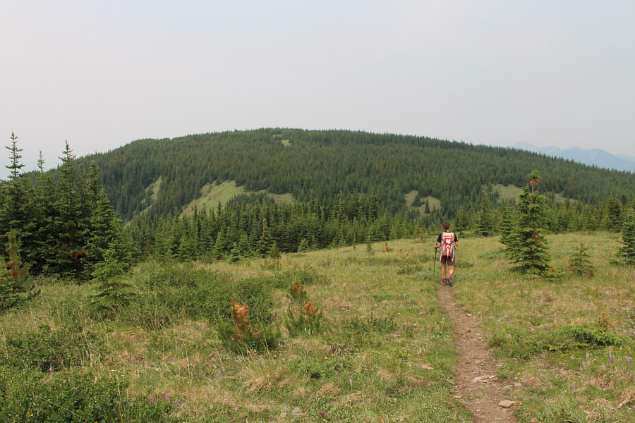
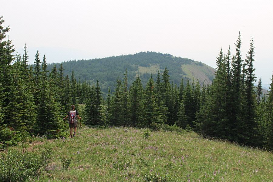
Zosia heads back to the true summit of Ambler Mountain.

Happy Canada Day!

Sonny and Zosia celebrate Canada's 154th birthday on the summit of Ambler Mountain (1901 metres).


R.I.P. Jack! Near where the trail emerges from forest is this memorial to Ambler Mountain's namesake.
An easy half-day hike. Total Distance:  11.2 kilometres
Round-Trip Time:  4 hours 26 minutes
Cumulative Elevation Gain:  517 metres

GPX Data